Broad Yard Plantation

Wood, Forest in Kirkcudbrightshire

Scotland

Broad Yard Plantation

Wooden sign, Kirkcudbright Training Area
Wooden sign, Kirkcudbright Training Area Credit: Steven Brown

The requested URL returned error: 429 Too Many Requests

If you have any feedback on the listing, please let us know in the comments section below.

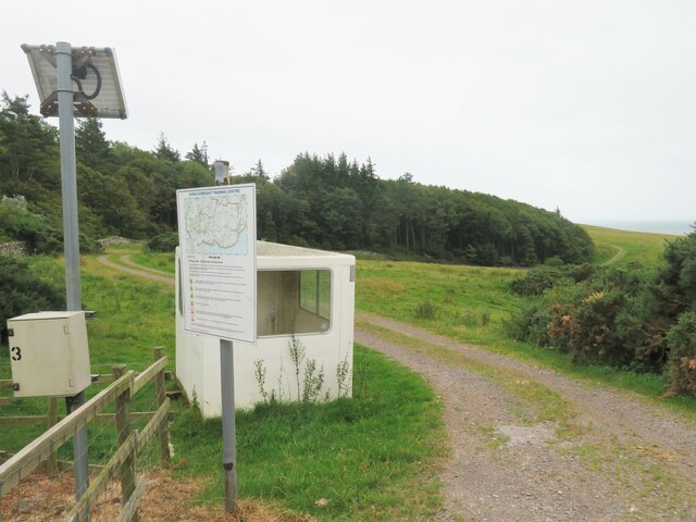
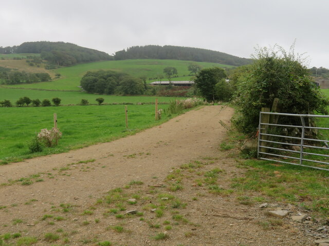
Broad Yard Plantation Images

Images are sourced within 2km of 54.796018/-4.0346542 or Grid Reference NX6946. Thanks to Geograph Open Source API. All images are credited.
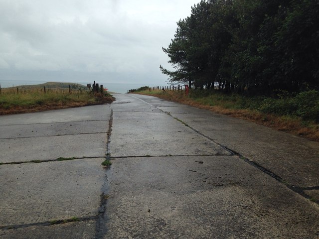
Wooden sign, Kirkcudbright Training Area
Farm entrance off A711 The entrance to the lane leading to Milton farm which stands at the edge of the military training area.
Farm entrance off A711
The entrance to the lane leading to Milton farm which stands at the edge of the military training area.
Lane towards Mutehill This country lane flirts with this grid square, being inside it for some 200m here and for a similar length at the NW corner of the grid square.
Lane towards Mutehill
This country lane flirts with this grid square, being inside it for some 200m here and for a similar length at the NW corner of the grid square.
House at Dromore farm According to the signs on the map, the buildings here are just within the danger zone of the military training area. Fortunately all was quiet and there was no danger from flying shrapnel.
House at Dromore farm
According to the signs on the map, the buildings here are just within the danger zone of the military training area. Fortunately all was quiet and there was no danger from flying shrapnel.
Military training area, access point No red flag and no sentry on duty at the little hut, so one could venture into the danger area.
Military training area, access point
No red flag and no sentry on duty at the little hut, so one could venture into the danger area.
Edge of the danger area A short stroll down the track from the road [no red flag flying] and one could photograph the track that leads towards the coast near Torrs Point.
Edge of the danger area
A short stroll down the track from the road [no red flag flying] and one could photograph the track that leads towards the coast near Torrs Point.
Farmland near Torrs Green pastures between the coast and Castle Hill.
Farmland near Torrs
Green pastures between the coast and Castle Hill.
Hard standing, Kirkcudbright Training Area
Concreted surface at Kirkcudbright Training Area
Driveway entrance to Milton Just off the A711 Kirkcudbright to Dundrennan road.
Driveway entrance to Milton
Just off the A711 Kirkcudbright to Dundrennan road.
Danger area entrance One of the entrance roads into the Kirkcudbright firing range.
Danger area entrance
One of the entrance roads into the Kirkcudbright firing range.
Townhead Telephone Exchange The lane from Townhead to Ringliggate junction (A711) passes the Townhead telephone exchange. The MOD Kirkcudbright Training Range boundary runs along the southern stone dyke – with the exchange apparently breaching that boundary.
Townhead Telephone Exchange
The lane from Townhead to Ringliggate junction (A711) passes the Townhead telephone exchange. The MOD Kirkcudbright Training Range boundary runs along the southern stone dyke – with the exchange apparently breaching that boundary.
Little Gregory lane This section of the lane between Townhead and Ringliggate Junction (A711) runs through the MOD Kirkcudbright Training Range and is subject to closure. A large area is permanently closed to the public, including this lane that led off the Townhead lane southward to the Little Gregory area.
Little Gregory lane
This section of the lane between Townhead and Ringliggate Junction (A711) runs through the MOD Kirkcudbright Training Range and is subject to closure. A large area is permanently closed to the public, including this lane that led off the Townhead lane southward to the Little Gregory area.
Dunrod Mill This section of the lane between Townhead and Ringliggate Junction (A711) runs through the MOD Kirkcudbright Training Range and is subject to closure. A large area is permanently closed to the public, including this lane that leads off the Townhead lane close to the former Dunrod Mill (Balig Hill).
Dunrod Mill
This section of the lane between Townhead and Ringliggate Junction (A711) runs through the MOD Kirkcudbright Training Range and is subject to closure. A large area is permanently closed to the public, including this lane that leads off the Townhead lane close to the former Dunrod Mill (Balig Hill).
Townhead telephone exchange. Still in use using microwave technology.The entry beside it leads to the Dunrod Graveyard
Townhead telephone exchange.
Still in use using microwave technology.The entry beside it leads to the Dunrod Graveyard
Gregory Lane ,Townhead An interesting comparison with a previous geograph of the same view
Gregory Lane ,Townhead
An interesting comparison with a previous geograph of the same view
Balig entry This another entry to the Kirkcudbright Infantry Training Range.
Balig entry
This another entry to the Kirkcudbright Infantry Training Range.
Entry to Silverhill on the Kirkcudbright Training Area
Show me another place!

Broad Yard Plantation is located at Grid Ref: NX6946 (Lat: 54.796018, Lng: -4.0346542)

Unitary Authority: Dumfries and Galloway

Police Authority: Dumfries and Galloway

What 3 Words

///shopper.spilling.kilt. Near Kirkcudbright, Dumfries & Galloway

Related Wikis

Dundrennan Range

Dundrennan Range is a weapons testing range on the Solway Firth, near Kirkcudbright in Dumfries and Galloway, in south west Scotland, it is part of the...

River Dee, Galloway

The River Dee (Scottish Gaelic: Dè / Uisge Dhè), in south-west Scotland, flows from its source in Loch Dee amongst the Galloway Hills, firstly to Clatteringshaws...

High Banks cup and ring markings

The High Banks cup and ring markings are a series of Neolithic or Bronze Age carvings on an outcrop of rock near High Banks farm, 3 km SE of Kirkcudbright...

Kirkcudbright Bay

Kirkcudbright Bay is an inlet of the Irish Sea on the coast of Galloway in southwest Scotland. Its coastline falls entirely within the modern administrative...

Nearby Amenities

Located within 500m of 54.796018,-4.0346542
Power: pole
Lat/Long: 54.7948827/-4.0311342
Power: pole
Lat/Long: 54.7945217/-4.0317929
Power: pole
Lat/Long: 54.7941204/-4.0310519
Power: pole
Lat/Long: 54.7937464/-4.0303608
Power: pole
Lat/Long: 54.7939075/-4.0287491
Place: farm
Lat/Long: 54.7942025/-4.0284521
The data included in this document is from www.openstreetmap.org. The data is made available under ODbL.

Have you been to Broad Yard Plantation?

Leave your review of Broad Yard Plantation below (or comments, questions and feedback).