Priory Plantation
Wood, Forest in Lanarkshire
Scotland
Priory Plantation
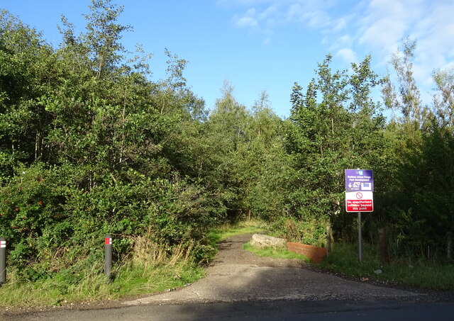
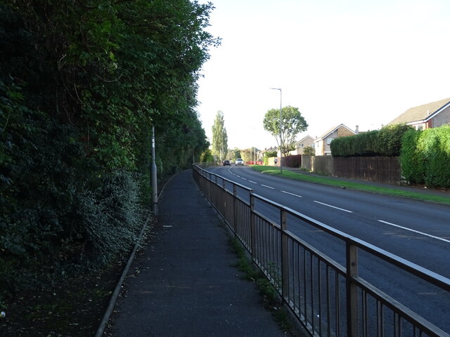
Priory Plantation is a sprawling woodland located in the county of Lanarkshire, Scotland. Stretching over an area of approximately 500 acres, this picturesque forest is renowned for its natural beauty and diverse flora and fauna.
The plantation is predominantly made up of a mixture of deciduous and coniferous trees, creating a rich tapestry of colors throughout the seasons. The majestic oak, beech, and birch trees dominate the landscape, while spruces and pines provide a lush green backdrop. These trees play a vital role in providing habitat for a wide range of bird species, including woodpeckers, song thrushes, and owls.
The woodland floor is carpeted with a variety of wildflowers, such as bluebells, primroses, and wild garlic, adding a burst of color to the surroundings. It is also home to several species of deer, foxes, squirrels, and rabbits, making it a popular spot for wildlife enthusiasts and nature lovers.
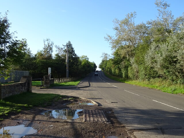
Priory Plantation offers a network of well-maintained walking trails, allowing visitors to explore the forest at their own pace. These trails wind through towering trees, over babbling streams, and up gentle slopes, providing stunning views of the surrounding Lanarkshire countryside.
The plantation also holds historical significance, with remnants of Priory Farm, a medieval priory, still visible within its boundaries. This adds a sense of intrigue and mystery to the woodland, attracting history buffs and archaeology enthusiasts.
Overall, Priory Plantation is a tranquil and captivating woodland that offers a peaceful escape from the hustle and bustle of everyday life. Its natural beauty and rich biodiversity make it a must-visit destination for those seeking a connection with nature and a glimpse into Lanarkshire's history.
If you have any feedback on the listing, please let us know in the comments section below.
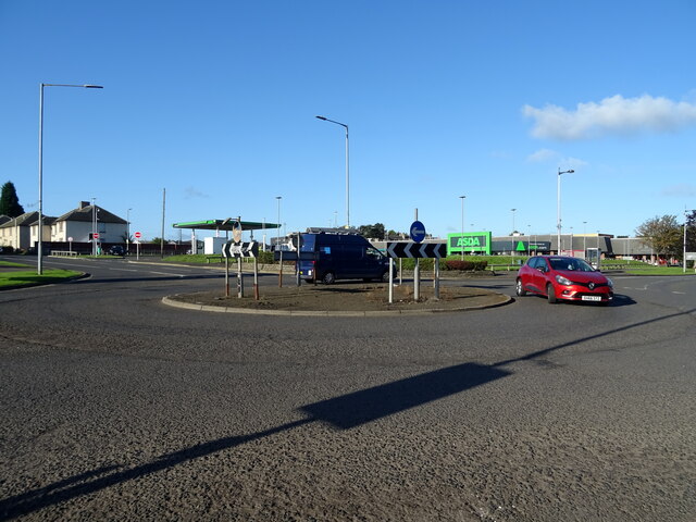
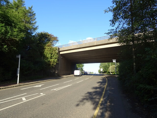
Priory Plantation Images
Images are sourced within 2km of 55.806895/-4.0933395 or Grid Reference NS6859. Thanks to Geograph Open Source API. All images are credited.


Priory Plantation is located at Grid Ref: NS6859 (Lat: 55.806895, Lng: -4.0933395)
Unitary Authority: South Lanarkshire
Police Authority: Lanarkshire
What 3 Words
///bride.swung.beans. Near Blantyre, South Lanarkshire
Nearby Locations
Related Wikis

Bothwell Castle
Bothwell Castle is a large medieval castle, sited on a high, steep bank, above a bend in the River Clyde in South Lanarkshire, Scotland. It is located...

David Livingstone Birthplace Museum
The David Livingstone Birthplace Museum is a biographical museum in Blantyre, South Lanarkshire, Scotland, dedicated to the life and work of the explorer...

Bothwell Castle Cricket Ground
Bothwell Castle Policies Cricket Ground is a cricket ground in Uddingston, Scotland, and is named after the nearby Bothwell Castle. The first recorded...
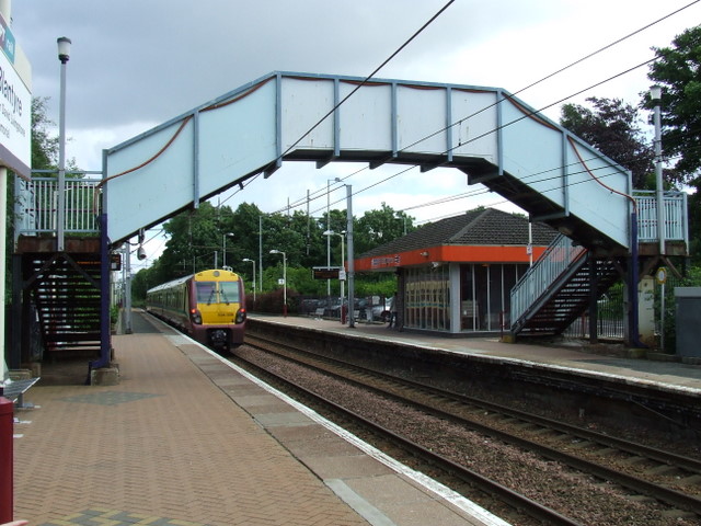
Blantyre railway station
Blantyre railway station serves the burgh of Blantyre, near Hamilton in South Lanarkshire, Scotland. It is located on the Argyle Line, 14 km (8¾ miles...

Bothwell railway station
Bothwell railway station served the village of Bothwell, South Lanarkshire, Scotland from 1878 to 1955 on the Glasgow, Bothwell, Hamilton and Coatbridge...
Uddingston
Uddingston (Scots: Uddinstoun, Scottish Gaelic: Baile Udain) is a small town in South Lanarkshire, Scotland. It is on the north side of the River Clyde...

Blantyre, South Lanarkshire
Blantyre ( or ; Scottish Gaelic: Blantaidhr) is a town and civil parish in South Lanarkshire, Scotland, with a population of 16,900. It is bounded by the...

A724 road
The A724 road in Scotland runs within South Lanarkshire between Rutherglen and Hamilton. It follows an ancient route which is marked on William Roy's Lowland...
Nearby Amenities
Located within 500m of 55.806895,-4.0933395Have you been to Priory Plantation?
Leave your review of Priory Plantation below (or comments, questions and feedback).