Drumglass Strip

Wood, Forest in Kirkcudbrightshire

Scotland

Drumglass Strip

Access bridge to fields An farm access bridge over a disused railway track near Parton.
Access bridge to fields Credit: Colin Kinnear

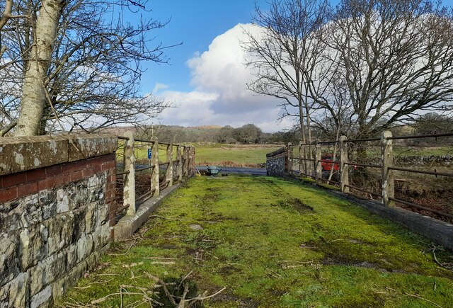
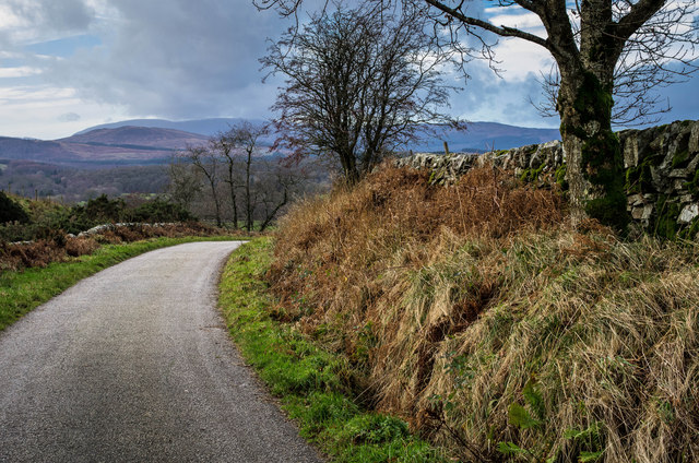
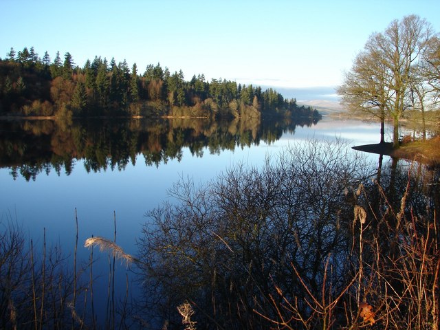
Drumglass Strip is a picturesque woodland located in the historic county of Kirkcudbrightshire, Scotland. This enchanting forest covers an area of approximately 50 acres and is situated just a short distance away from the charming town of Kirkcudbright.

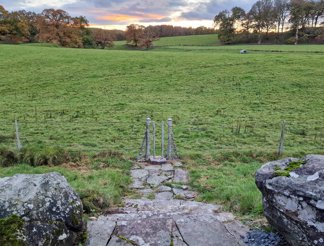
The woodland is predominantly composed of a diverse range of deciduous trees, including oak, beech, and birch, creating a captivating and ever-changing landscape throughout the seasons. The lush greenery and peaceful atmosphere make it an ideal destination for nature lovers, hikers, and birdwatchers.

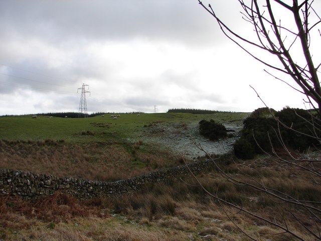
Drumglass Strip offers several well-maintained trails that wind their way through the forest, providing visitors with the opportunity to explore its hidden treasures. The paths vary in difficulty and length, catering to both leisurely strolls and more challenging hikes. Along the way, visitors may encounter an abundance of wildlife, including squirrels, deer, and a variety of bird species.

The woodland is also home to a small stream, which adds to the tranquility of the surroundings. The sound of running water and the gentle rustling of leaves create a soothing ambiance, perfect for those seeking a peaceful retreat from the hustle and bustle of everyday life.

Drumglass Strip is easily accessible by car, with a small parking area available near the entrance. There are no facilities within the woodland itself, so visitors are advised to come prepared with water and snacks.

Overall, Drumglass Strip is a hidden gem in Kirkcudbrightshire, offering a serene escape into nature and a chance to immerse oneself in the beauty of Scotland's woodlands.

If you have any feedback on the listing, please let us know in the comments section below.

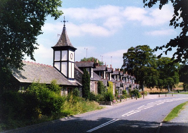
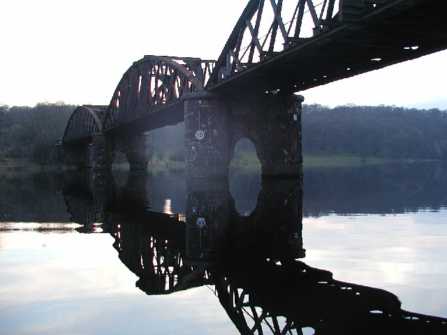
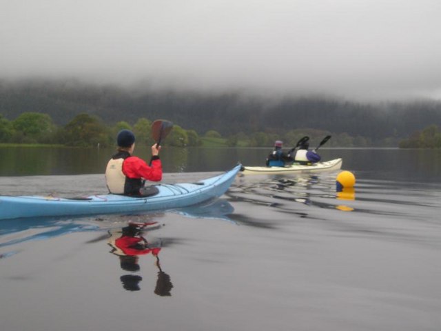
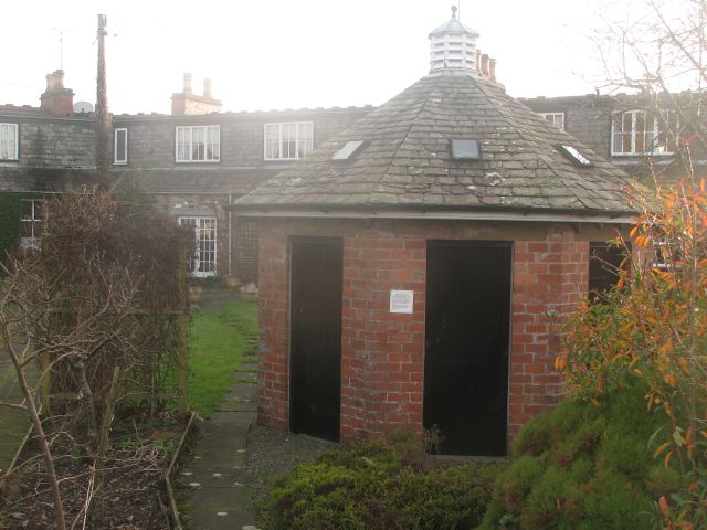
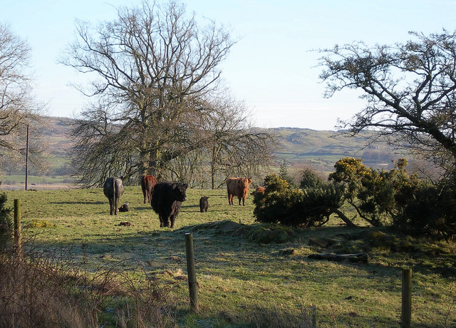
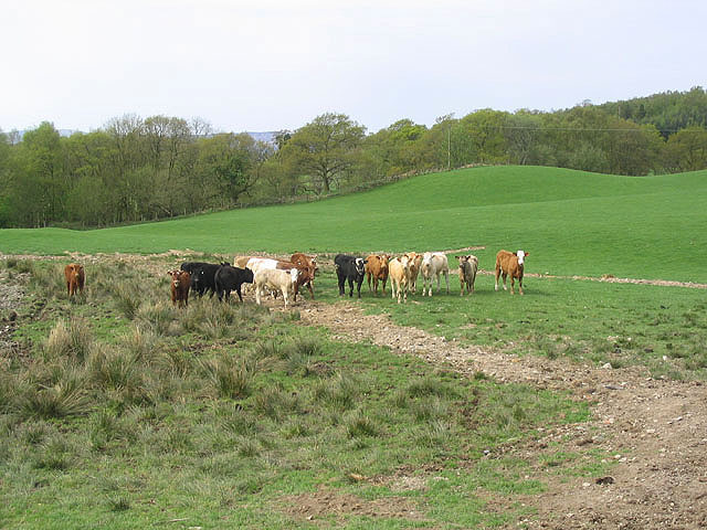
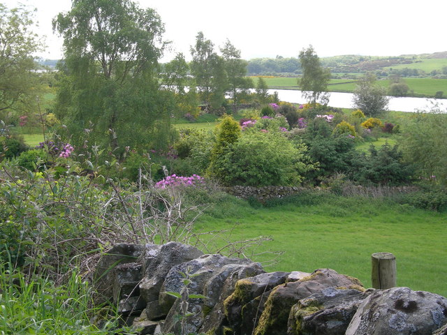
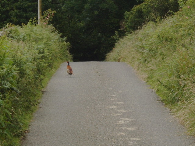
Drumglass Strip Images

Images are sourced within 2km of 55.001616/-4.051681 or Grid Reference NX6869. Thanks to Geograph Open Source API. All images are credited.

Access bridge to fields An farm access bridge over a disused railway track near Parton.
Access bridge to fields
An farm access bridge over a disused railway track near Parton.
The road to Parton A downhill to Parton with the Glenkens beyond
The road to Parton
A downhill to Parton with the Glenkens beyond
Hensol House - Unusual Gate to Field This unusual gate, just to the south of Hensol House, is designed to let people into the field, but not let the livestock escape.
Hensol House - Unusual Gate to Field
This unusual gate, just to the south of Hensol House, is designed to let people into the field, but not let the livestock escape.
View SE toward Glengunnoch Hill View from single track Parton-Knockvennie road east of Fominoch Wood. Sheep craze on the NW shoulder of Glengunnoch Hill Woods (just visible over rise). Overnight February snow is retreating into the shaded corners at noon.
View SE toward Glengunnoch Hill
View from single track Parton-Knockvennie road east of Fominoch Wood. Sheep craze on the NW shoulder of Glengunnoch Hill Woods (just visible over rise). Overnight February snow is retreating into the shaded corners at noon.
Parton The village of Parton.  The building with the clock tower is a self catering cottage.  In the garden of one of the cottages further on is a communal 8 seater privy (now unused)
Parton
The village of Parton. The building with the clock tower is a self catering cottage. In the garden of one of the cottages further on is a communal 8 seater privy (now unused)
Loch Ken Viaduct Former railway viaduct, now (sadly) in private hands and closed to walkers and cyclists.
Loch Ken Viaduct
Former railway viaduct, now (sadly) in private hands and closed to walkers and cyclists.
A group of kayakers paddling north on the Loch
Parton Privy Communal toilet block, for the row of eight cottages at Parton.  It is no longer used today for its original purpose.  One of the cubicals has been preserved.
Parton Privy
Communal toilet block, for the row of eight cottages at Parton. It is no longer used today for its original purpose. One of the cubicals has been preserved.
The Ken-Dee Marshes at Duchrae Mains This is where Loch Ken narrows down and becomes the River Dee.  The area attracts large numbers of wintering geese and wildfowl.
The Ken-Dee Marshes at Duchrae Mains
This is where Loch Ken narrows down and becomes the River Dee. The area attracts large numbers of wintering geese and wildfowl.
Beef Cattle at Duchrae Mains Cattle in the morning sunshine on a crisp January morning.
Beef Cattle at Duchrae Mains
Cattle in the morning sunshine on a crisp January morning.
Cattle field Livestock viewed from a minor road at Fominoch.
Cattle field
Livestock viewed from a minor road at Fominoch.
Farmland, cottage gardens & Loch Ken
Loch Ken Taken soon after dawn after a frosty night in late May!
Loch Ken
Taken soon after dawn after a frosty night in late May!
Pheasant in the road at Airds of Kells
Road winding down to the Cottages at Parton
Glenlaggan - Loch Ken View NW up Loch Ken with Rhinns of Kells in distance. Photographer standing on W side of A713 at Glenlaggan.
Glenlaggan - Loch Ken
View NW up Loch Ken with Rhinns of Kells in distance. Photographer standing on W side of A713 at Glenlaggan.
ROC Underground Monitoring Post, Parton Extant surface features of a Royal Observer Corps underground monitoring post (1960-91) in a field to the west of Boreland of Parton Farm. The concrete base of an aircraft post lies close by.
ROC Underground Monitoring Post, Parton
Extant surface features of a Royal Observer Corps underground monitoring post (1960-91) in a field to the west of Boreland of Parton Farm. The concrete base of an aircraft post lies close by.
Parton Village A713 Out for a spin, heading south on the A713 through Parton.
Parton Village A713
Out for a spin, heading south on the A713 through Parton.
Show me another place!

Drumglass Strip is located at Grid Ref: NX6869 (Lat: 55.001616, Lng: -4.051681)

Unitary Authority: Dumfries and Galloway

Police Authority: Dumfries and Galloway

What 3 Words

///moped.placidly.usual. Near Castle Douglas, Dumfries & Galloway

Nearby Locations

Drumglass Strip Boat Pool

Related Wikis

Parton railway station (Portpatrick and Wigtownshire Joint Railway)

Parton railway station served the hamlet of Parton, Dumfries and Galloway, Scotland, from 1861 to 1965 on the Portpatrick and Wigtownshire Joint Railway...

Loch Ken

Loch Ken is a 9 miles (14 km) long freshwater loch in the historic county of Kirkcudbrightshire in Dumfries and Galloway, Scotland. It lies in the Glenkens...

Parton, Dumfries and Galloway

Parton is a hamlet situated on the banks of the River Dee in the historical county of Kirkcudbrightshire, Dumfries and Galloway, Scotland. == Notable... ==

Airds of Kells

Airds of Kells is a farm and small estate in the historical county of Kirkcudbrightshire in the parish of Kells, Dumfries and Galloway, Scotland. The...

New Galloway railway station

New Galloway railway station served the town of New Galloway in Dumfries and Galloway, Scotland, from 1861 to 1965 on the Portpatrick and Wigtownshire...

Kirkcudbrightshire

Kirkcudbrightshire ( kur-KOO-brish-ər, -⁠eer; Scots: [kərˈku(d)brəʃər]), or the County of Kirkcudbright or the Stewartry of Kirkcudbright is one of the...

Balmaghie

Balmaghie ( bal-mə-GEE), from the Scottish Gaelic Baile Mhic Aoidh, is an ecclesiastical and civil parish in the historical county of Kirkcudbrightshire...

Crossmichael railway station

Crossmichael railway station served the village of Crossmichael, Kirkcudbrightshire, Scotland, from 1861 to 1965 on the Portpatrick and Wigtownshire Joint...

Nearby Amenities

Located within 500m of 55.001616,-4.051681
Destination: Car park
Information: guidepost
Tourism: information
Lat/Long: 55.0021182/-4.058938
Bench
Lat/Long: 55.0020089/-4.0585061
Board Type: nature
Information: board
Tourism: information
Lat/Long: 55.0043703/-4.0564053
Parking Space
Parking Space: disabled
Lat/Long: 55.0022135/-4.0537499
Power: pole
Lat/Long: 55.0001232/-4.0583598
Power: pole
Lat/Long: 54.9995688/-4.0579115
Power: pole
Lat/Long: 54.9988669/-4.0573485
Power: pole
Lat/Long: 54.9983039/-4.0569109
Power: pole
Lat/Long: 55.0028539/-4.0587549
Power: pole
Lat/Long: 55.0021752/-4.0577586
Power: pole
Lat/Long: 55.0012906/-4.057306
Power: pole
Lat/Long: 55.0007325/-4.0575057
Power: pole
Lat/Long: 55.0001951/-4.0577161
The data included in this document is from www.openstreetmap.org. The data is made available under ODbL.

Have you been to Drumglass Strip?

Leave your review of Drumglass Strip below (or comments, questions and feedback).