Troquhain Plantation

Wood, Forest in Kirkcudbrightshire

Scotland

Troquhain Plantation

Road to Blackcraig Looking north-eastward on what, I presume, is an upgraded stretch of road that is servicing the construction of Blackcraig Wind Farm.
Road to Blackcraig Credit: Peter Wood

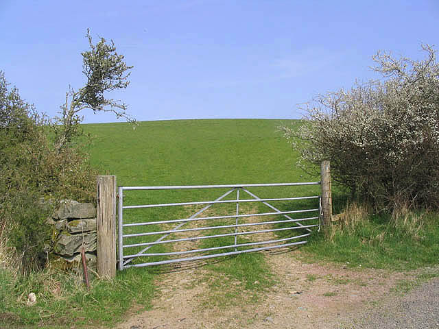
Troquhain Plantation, located in Kirkcudbrightshire, is a sprawling woodland area renowned for its natural beauty and diverse flora and fauna. Spanning over several hectares, this enchanting forest is a popular destination for nature enthusiasts and outdoor adventurers.

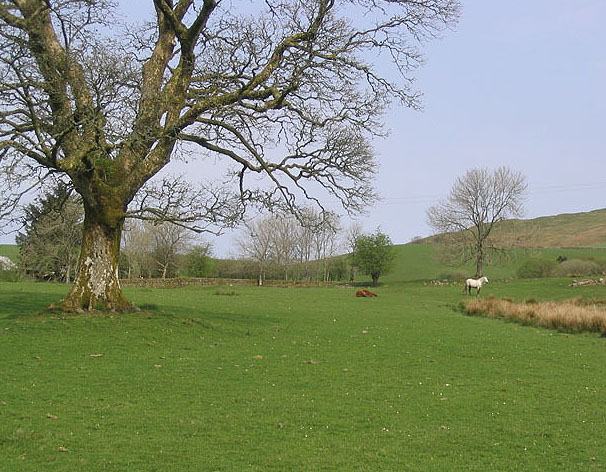
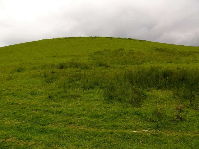
The plantation is characterized by a varied landscape, with dense woodland, open clearings, and meandering streams. Towering trees, such as oak, beech, and pine, dominate the area, providing a lush canopy that offers shelter to a wide array of wildlife. Visitors can expect to encounter a multitude of bird species, including woodpeckers, owls, and various songbirds, making it a paradise for birdwatchers.

The forest floor is adorned with a vibrant carpet of wildflowers, creating a picturesque scene in spring and summer. Bluebells, primroses, and daffodils are just a few of the many species that bloom here, attracting butterflies and bees to the area.

Several well-maintained trails wind through the plantation, allowing visitors to explore its natural wonders. Hiking and cycling are popular activities, providing an opportunity to immerse oneself in the peaceful ambiance and admire the breathtaking scenery.

Troquhain Plantation also holds historical significance, with remnants of ancient settlements and stone circles scattered throughout the area. These archaeological sites offer a glimpse into the region's rich past, adding an extra layer of intrigue to the plantation's allure.

Overall, Troquhain Plantation is a captivating destination for those seeking tranquility, natural beauty, and a chance to connect with the splendor of Scotland's woodlands.

If you have any feedback on the listing, please let us know in the comments section below.

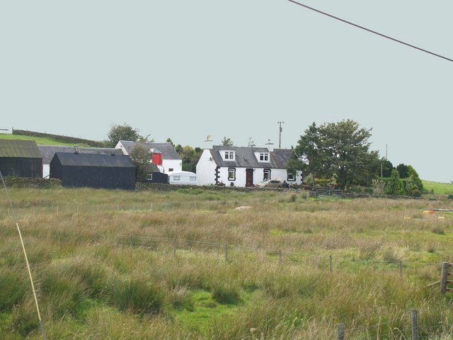
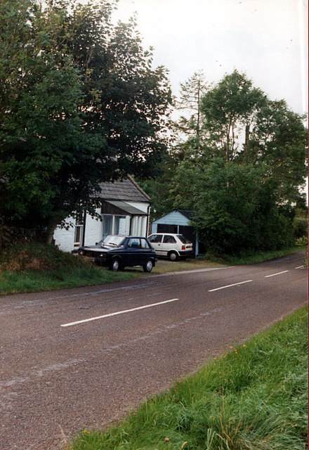
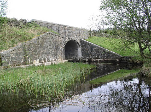
Troquhain Plantation Images

Images are sourced within 2km of 55.092033/-4.0625321 or Grid Reference NX6879. Thanks to Geograph Open Source API. All images are credited.

Road to Blackcraig Looking north-eastward on what, I presume, is an upgraded stretch of road that is servicing the construction of Blackcraig Wind Farm.
Road to Blackcraig
Looking north-eastward on what, I presume, is an upgraded stretch of road that is servicing the construction of Blackcraig Wind Farm.
Wet land Looking from the road, across the peaty moorland, towards Blackcraig and the windfarm hidden in low clouds.
Wet land
Looking from the road, across the peaty moorland, towards Blackcraig and the windfarm hidden in low clouds.
Approaching Bread and Beer Cottage on the A712
The A712 Looking west-northwest along the A712 near Bread and Beer Cottage.
The A712
Looking west-northwest along the A712 near Bread and Beer Cottage.
Feeding area Cattle were fed winter fodder here.
Feeding area
Cattle were fed winter fodder here.
The Lowes
The Lowes
Barscobe Hill Looking down from an outcrop towards Troquhain Loch.
Barscobe Hill
Looking down from an outcrop towards Troquhain Loch.
A tree in Glen Knowe This old hawthorn tree stands in an area of rough and improved grazing for cattle and sheep.
A tree in Glen Knowe
This old hawthorn tree stands in an area of rough and improved grazing for cattle and sheep.
Hill countryside in The Glenkens A mixture of bracken, boggy ground and rough grazing for cattle and sheep. I disturbed a fox here.
Hill countryside in The Glenkens
A mixture of bracken, boggy ground and rough grazing for cattle and sheep. I disturbed a fox here.
Trees in Blawrinnie Glen Hawthorn trees viewed on a fine March afternoon.
Trees in Blawrinnie Glen
Hawthorn trees viewed on a fine March afternoon.
The summit cairn on Barscobe Hill The white marked stones on the top of the cairn indicates that this is a favourite perch for birds of prey.
The summit cairn on Barscobe Hill
The white marked stones on the top of the cairn indicates that this is a favourite perch for birds of prey.
Bogleknowe Bogleknowe Cottage on the A712 heading towards Balmaclellan
Bogleknowe
Bogleknowe Cottage on the A712 heading towards Balmaclellan
Troquhain Bridge
Troquhain Bridge
Horses in a field To the east of Ironlosh and viewed from the A712.
Horses in a field
To the east of Ironlosh and viewed from the A712.
Sheep pasture Near High Bridge of Barlay Farm.
Sheep pasture
Near High Bridge of Barlay Farm.
Pasture field To the west of Galrinnies Farm.
Pasture field
To the west of Galrinnies Farm.
Ornamental pond, Greenhead
Bartaggart Hill
Bartaggart Hill
Show me another place!

Troquhain Plantation is located at Grid Ref: NX6879 (Lat: 55.092033, Lng: -4.0625321)

Unitary Authority: Dumfries and Galloway

Police Authority: Dumfries and Galloway

What 3 Words

///riskiest.goofy.unhelpful. Near Castle Douglas, Dumfries & Galloway

Nearby Locations

Troquhain Plantation

Related Wikis

Barscobe Castle

Barscobe Castle is a 17th-century tower house in Balmaclellan, Kirkcudbrightshire, Scotland. It is a typical house of a country laird, and according to...

Balmaclellan

Balmaclellan (Scottish Gaelic: Baile Mac-a-ghille-dhiolan, meaning town of the MacLellans) is a small hillside village of stone houses with slate roofs...

Loch Howie

Loch Howie is a small, narrow, upland freshwater loch on the north side of Blackcraig Hill, approximately 18 miles (29 km) west of Dumfries, Scotland....

Ironmacannie Mill

Ironmacannie Mill is a historic watermill near Balmaclellan in Dumfries and Galloway, Scotland. Built in the 18th and 19th centuries, on the site of an...

Nearby Amenities

Located within 500m of 55.092033,-4.0625321
Troquhain
Naptan AtcoCode: 680001037333
Naptan Bearing: W
Naptan BusStopType: CUS
Naptan CommonName: Troquhain
Naptan Indicator: opp House
Naptan Landmark: Troquhain
Naptan NaptanCode: 34235963
Naptan Notes: none
Naptan Street: A712
Naptan Verified: no
Source: naptan_import
Lat/Long: 55.0918409/-4.069616
Troquhain
Naptan AtcoCode: 680001037444
Naptan Bearing: E
Naptan BusStopType: CUS
Naptan CommonName: Troquhain
Naptan Indicator: at House
Naptan Landmark: Troquhain
Naptan NaptanCode: 34235964
Naptan Notes: none
Naptan Street: A712
Naptan Verified: no
Source: naptan_import
Lat/Long: 55.0919198/-4.0697298
Power: pole
Lat/Long: 55.0913717/-4.0693772
Power: pole
Lat/Long: 55.0919437/-4.0697734
Power: pole
Lat/Long: 55.0920616/-4.0698605
Power: pole
Lat/Long: 55.0927035/-4.0698053
Power: pole
Lat/Long: 55.093326/-4.0697501
Power: pole
Lat/Long: 55.094025/-4.0684308
Power: pole
Lat/Long: 55.0941004/-4.0672092
Power: pole
Lat/Long: 55.0941721/-4.0659558
Power: pole
Lat/Long: 55.0944262/-4.0642541
The data included in this document is from www.openstreetmap.org. The data is made available under ODbL.

Have you been to Troquhain Plantation?

Leave your review of Troquhain Plantation below (or comments, questions and feedback).