Arrie Wood

Wood, Forest in Ross-shire

Scotland

Arrie Wood

Kilmuir Ruined late medieval church.
Kilmuir Credit: C Page

Arrie Wood is a picturesque forest located in Ross-shire, Scotland. Covering an area of approximately 500 acres, it is renowned for its natural beauty and diverse wildlife. The forest is situated near the small village of Arrie, surrounded by rolling hills and stunning landscapes.

The woodland is predominantly composed of native species such as oak, birch, and pine trees, which create a dense canopy overhead, providing a tranquil and peaceful atmosphere. Walking through the forest, visitors can enjoy the serene surroundings and the sound of birdsong, making it a perfect destination for nature enthusiasts and hikers.

Arrie Wood is home to a rich variety of wildlife, including red squirrels, roe deer, and a wide range of bird species. Birdwatchers can spot birds such as woodpeckers, cuckoos, and various songbirds throughout the year. The forest also provides a habitat for several rare plants and insects, adding to its ecological significance.

In addition to its natural wonders, Arrie Wood offers several recreational activities for visitors. There are well-maintained trails and paths that allow people to explore the forest on foot or by bike. Picnic areas and benches are available, offering a place to relax and enjoy a packed lunch amidst the picturesque surroundings.

Arrie Wood is a hidden gem in Ross-shire, offering a peaceful escape from the hustle and bustle of everyday life. Its natural beauty, diverse wildlife, and recreational opportunities make it a must-visit destination for those seeking a connection with nature.

If you have any feedback on the listing, please let us know in the comments section below.
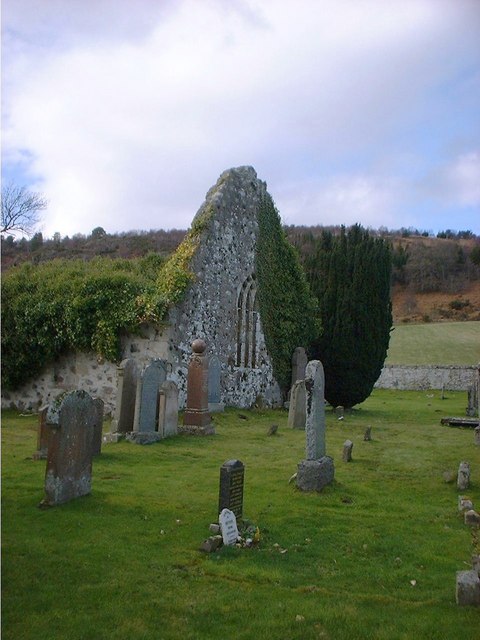
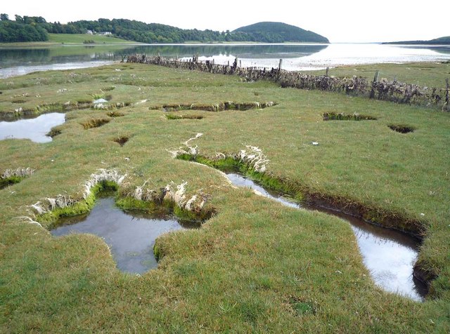
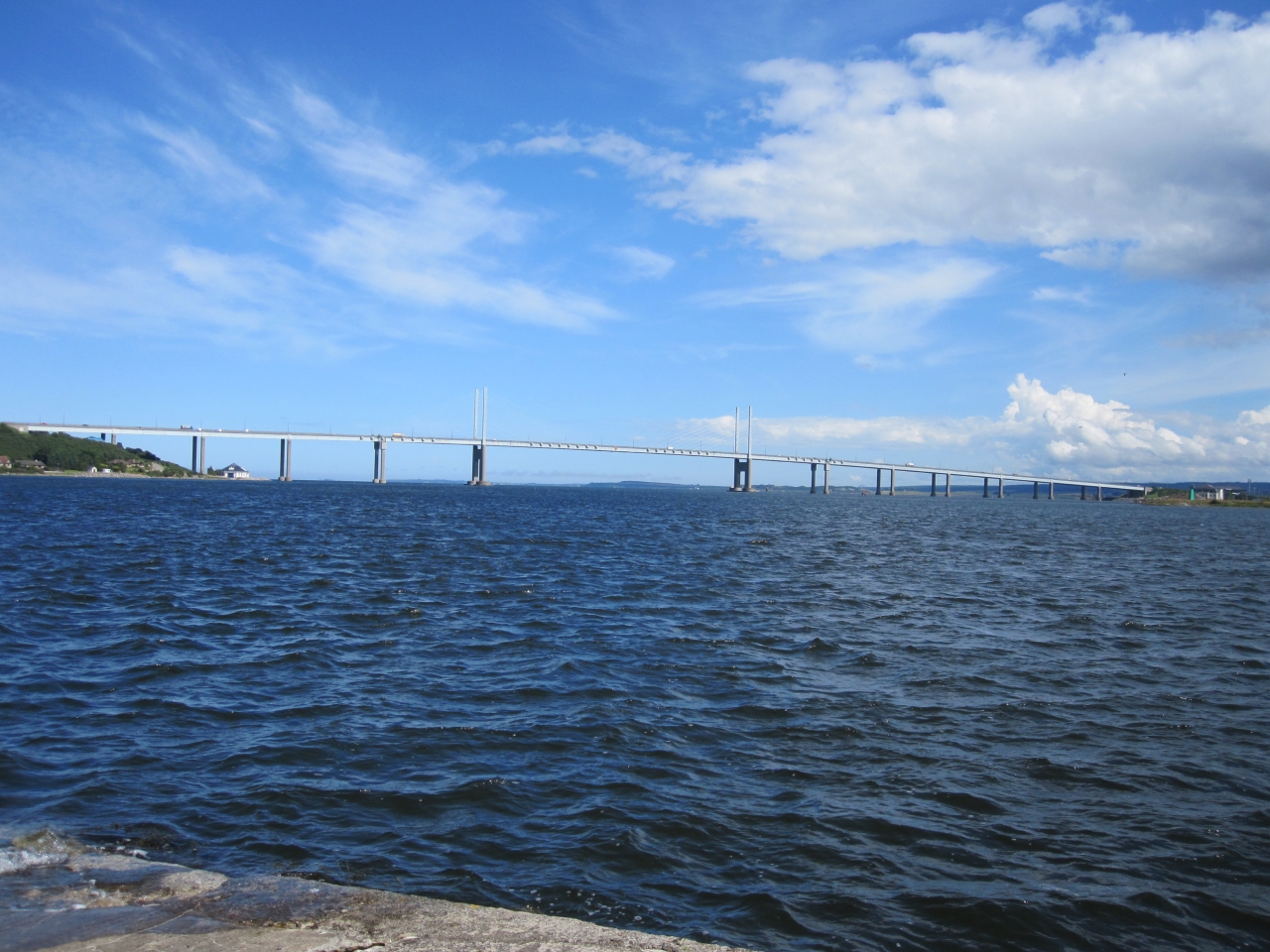
Arrie Wood Images

Images are sourced within 2km of 57.536324/-4.2002678 or Grid Reference NH6851. Thanks to Geograph Open Source API. All images are credited.

Kilmuir Ruined late medieval church.
Kilmuir
Ruined late medieval church.
Craigiehowe A small area of established deciduous woodland at Craigiehowe. Much of the land around here is used for growing coniferous trees.
Craigiehowe
A small area of established deciduous woodland at Craigiehowe. Much of the land around here is used for growing coniferous trees.
Track to Craigiewood
Told you the trig was in there! Pal Mike proudly shows off our combined handywork to free Wood Hill's trigpoint from its suffocating blanket of gorse.
Told you the trig was in there!
Pal Mike proudly shows off our combined handywork to free Wood Hill's trigpoint from its suffocating blanket of gorse.
Bay Farm inlet - Munlochy Bay It seems as if this inlet is man made to provide a dock for the large sandstone quarry that existed in this locality.
Bay Farm inlet - Munlochy Bay
It seems as if this inlet is man made to provide a dock for the large sandstone quarry that existed in this locality.
Mouth of Munlochy Bay Looking across to Craigiehowe across the mouth of Munlochy Bay. The walking in this area is unfrequented and provides some wonderful scenery.
Mouth of Munlochy Bay
Looking across to Craigiehowe across the mouth of Munlochy Bay. The walking in this area is unfrequented and provides some wonderful scenery.
Munlochy Bay north headland Looking across the mouth of Munlochy Bay towards Craigiehowe.
Munlochy Bay north headland
Looking across the mouth of Munlochy Bay towards Craigiehowe.
Ballone Farm Ballone Farm between Avoch and Munlochy.
Ballone Farm
Ballone Farm between Avoch and Munlochy.
Munlochy Bay and beyond One of my favourite areas on the Black Isle.
Munlochy Bay and beyond
One of my favourite areas on the Black Isle.
Clootie Well This is an ancient clootie well similar to the Munlochy well close by at <a href="https://www.geograph.org.uk/gridref/NH6453">NH6453</a>. People have believed in the magical healing properties of these wells since before Christianity.
Clootie Well
This is an ancient clootie well similar to the Munlochy well close by at NH6453. People have believed in the magical healing properties of these wells since before Christianity.
Signpost for footpaths to Munlochy, Drumderfit and Kilmuir A reassuring discovery on a circular walk from Munlochy.
Signpost for footpaths to Munlochy, Drumderfit and Kilmuir
A reassuring discovery on a circular walk from Munlochy.
Shoreline of the Moray Firth near Kilmuir A footpath leaves the marked track past the Kilmuir Burial Ground and emerges onto the foreshore for easy access towards Munlochy Bay
Shoreline of the Moray Firth near Kilmuir
A footpath leaves the marked track past the Kilmuir Burial Ground and emerges onto the foreshore for easy access towards Munlochy Bay
Pheasant feeding country The bracken covered slopes are home to thousands of pheasants that are fed at strategic points accessible by footpath from a farm on the skyline.
Pheasant feeding country
The bracken covered slopes are home to thousands of pheasants that are fed at strategic points accessible by footpath from a farm on the skyline.
Footpath from Taindore to the shore The route taken presumably to fill all the pheasant feeders in the area.
Footpath from Taindore to the shore
The route taken presumably to fill all the pheasant feeders in the area.
Old stone wall on the shoreline Why this wall was built remains a mystery to me.
Old stone wall on the shoreline
Why this wall was built remains a mystery to me.
Low tide on the Moray Firth So close to Inverness - just 4km away - but a world apart!  A track from Kilmuir leads to the shoreline which can be followed without difficulty towards Munlochy Bay.
Low tide on the Moray Firth
So close to Inverness - just 4km away - but a world apart! A track from Kilmuir leads to the shoreline which can be followed without difficulty towards Munlochy Bay.
After harvesting, Kilmuir An open prospect just beyond the Kilmuir Burial Ground.
After harvesting, Kilmuir
An open prospect just beyond the Kilmuir Burial Ground.
Foreshore of Munlochy Bay It is easy to walk along the south shore of Munlochy Bay for a couple of miles beyond Munlochy at high tide.  Then the shore-side route peters out amidst 2m high vegetation, gorse and fences and sea water.
Foreshore of Munlochy Bay
It is easy to walk along the south shore of Munlochy Bay for a couple of miles beyond Munlochy at high tide. Then the shore-side route peters out amidst 2m high vegetation, gorse and fences and sea water.
Show me another place!

Arrie Wood is located at Grid Ref: NH6851 (Lat: 57.536324, Lng: -4.2002678)

Unitary Authority: Highland

Police Authority: Highlands and Islands

What 3 Words

///tablets.stuffy.formless. Near Fortrose, Highland

Nearby Locations

Arrie Wood

Related Wikis

Ormond Castle

Ormond Castle, also known as Avoch Castle, was a powerful stronghold, overlooking the village of Avoch, on the Black Isle, in the former county of Ross...

Kilmuir, Black Isle

Kilmuir (from the Scottish Gaelic Cille Mhoire, meaning Mary's Church) is a former fishing village, located on the north coast of the Moray Firth in the...

Avoch railway station

Avoch railway station was a station on the single track branch of the Highland Railway, in north east Scotland. The line connected villages in The Black...

Avoch

Avoch ( OKH; from the Scottish Gaelic: Abhach – meaning mouth of the stream) is a harbour-village located on the south-east coast of the Black Isle, on...

Knockbain

Knockbain is a parish on the Black Isle, in the county of Ross and Cromarty in Highland council area, Scotland. It includes the villages of North Kessock...

Munlochy

Munlochy ( mən-LOKH-ee; Scottish Gaelic: Poll Lochaidh) is a small village, lying at the head of Munlochy Bay (Ob Poll Lochaidh), in the Black Isle in...

Munlochy railway station

Munlochy railway station served the village of Munlochy, Ross and Cromarty, Scotland, from 1894 to 1951 on the Fortrose Branch. == History == The station...

Beauly Firth

The Beauly Firth (Scottish Gaelic: Linne Fharair) is a firth in northern Scotland. It is the outlet for both the River Beauly and River Ness. The Beauly...

Nearby Amenities

Located within 500m of 57.536324,-4.2002678
Source: PGS
Lat/Long: 57.5325021/-4.1979527
Source: PGS
Lat/Long: 57.532915/-4.1974259
Source: PGS
Lat/Long: 57.5333527/-4.1970097
Created By: almien_coastlines
Source: PGS
Lat/Long: 57.533593/-4.196358
Created By: almien_coastlines
Source: PGS
Lat/Long: 57.533723/-4.196125
Source: PGS
Lat/Long: 57.5341536/-4.1957168
Source: PGS
Lat/Long: 57.5344381/-4.195359
Source: PGS
Lat/Long: 57.534762/-4.1948414
Source: PGS
Lat/Long: 57.5353748/-4.1943736
Created By: almien_coastlines
Source: PGS
Lat/Long: 57.536817/-4.193846
Created By: almien_coastlines
Source: PGS
Lat/Long: 57.538097/-4.193888
Source: PGS
Lat/Long: 57.538655/-4.1941692
Source: PGS
Lat/Long: 57.5401336/-4.1958923
Source: PGS
Lat/Long: 57.540398/-4.1975247
Source: PGS
Lat/Long: 57.5406104/-4.1982617
Craigiehowe
Place: locality
Lat/Long: 57.53853/-4.1993728
Crossing
Lat/Long: 57.5357678/-4.2025926
Power: pole
Lat/Long: 57.5335773/-4.2044085
Power: pole
Lat/Long: 57.5332102/-4.2049869
The data included in this document is from www.openstreetmap.org. The data is made available under ODbL.

Have you been to Arrie Wood?

Leave your review of Arrie Wood below (or comments, questions and feedback).