Riverside Wood
Wood, Forest in Perthshire
Scotland
Riverside Wood

The requested URL returned error: 429 Too Many Requests
If you have any feedback on the listing, please let us know in the comments section below.
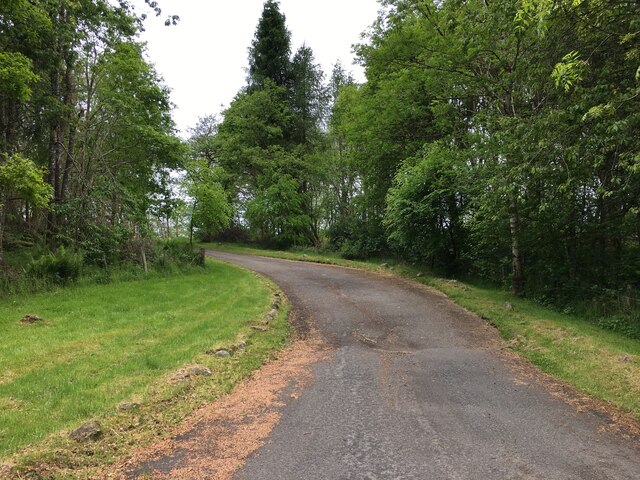
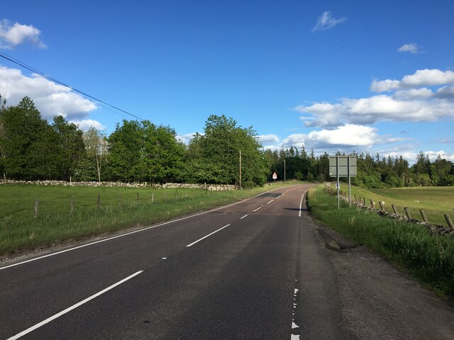
Riverside Wood Images
Images are sourced within 2km of 56.203782/-4.1240449 or Grid Reference NN6803. Thanks to Geograph Open Source API. All images are credited.


Riverside Wood is located at Grid Ref: NN6803 (Lat: 56.203782, Lng: -4.1240449)
Unitary Authority: Stirling
Police Authority: Forth Valley
What 3 Words
///bits.alienated.polygraph. Near Doune, Stirling
Nearby Locations
Related Wikis

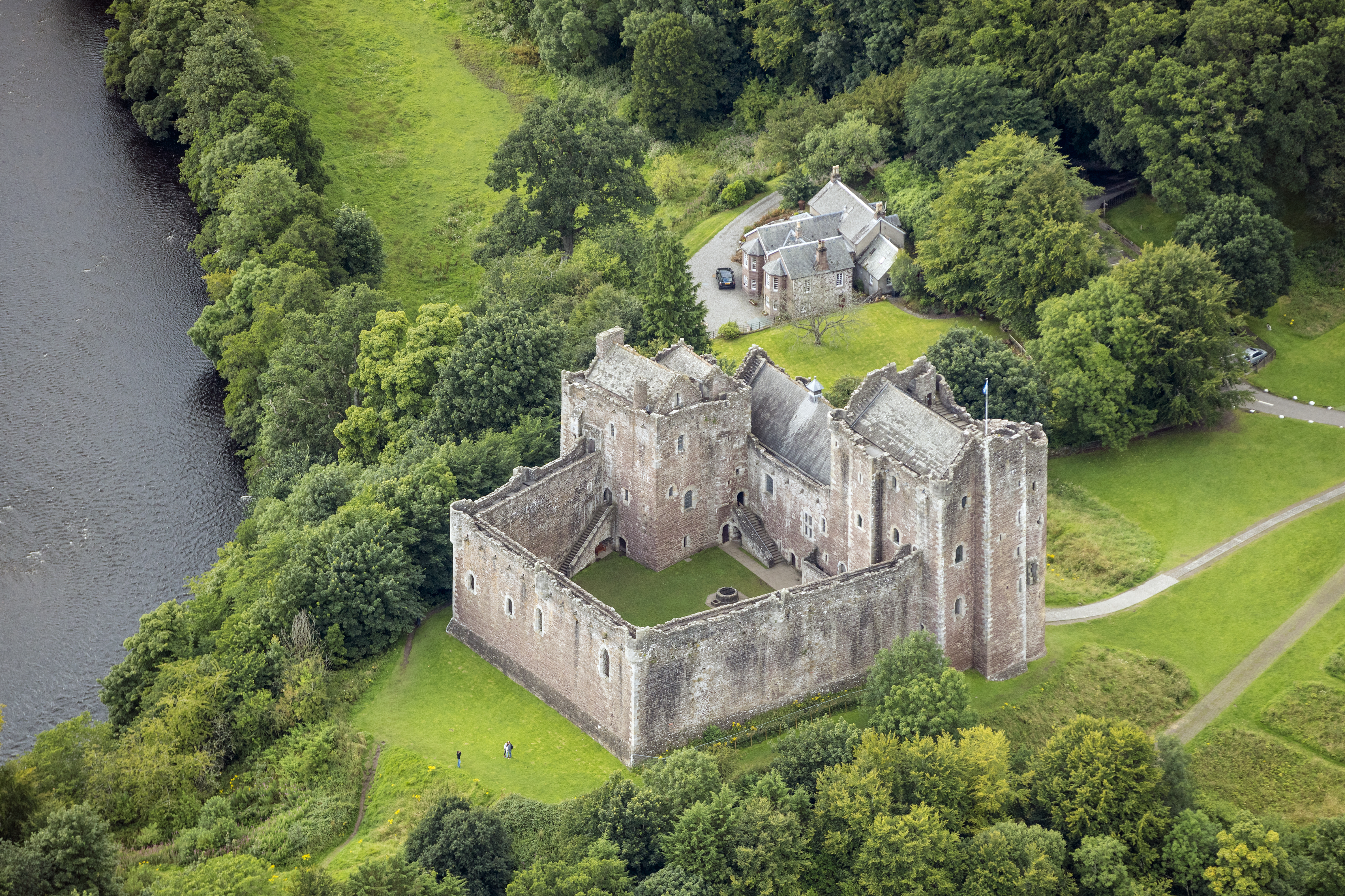
Lanrick Castle
Lanrick Castle was a late 18th-century country house near Doune in central Scotland. It was demolished in 2002 despite being protected as a category B...
Kilmadock
Kilmadock parish (Scottish Gaelic Cille Mo Dog), named for Saint Cadoc, containing the settlements of Doune, Deanston, Buchany, Argaty, Hill of Row, Drumvaich...
Doune Hillclimb
Doune Hillclimb, Carse of Cambus, near Doune in the district of Stirling, Scotland, is the home of the only round of the British Hill Climb Championship...
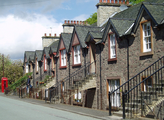
Deanston
Deanston (Scottish Gaelic: Baile an Deadhain) is a village in the Stirling council area, Scotland, on the south bank of the River Teith east of Doune,...
Nearby Amenities
Located within 500m of 56.203782,-4.1240449Have you been to Riverside Wood?
Leave your review of Riverside Wood below (or comments, questions and feedback).