Ceann-na-coille
Wood, Forest in Sutherland
Scotland
Ceann-na-coille

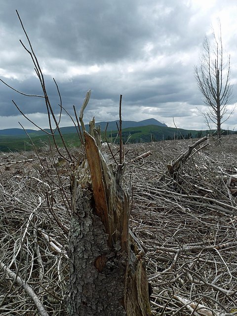
Ceann-na-coille, also known as Wood or Forest, is a small village located in the scenic county of Sutherland, Scotland. Situated in the northern part of the country, it is surrounded by lush greenery and breathtaking landscapes. The village is nestled in the heart of a dense forest, from which it derives its name.
Ceann-na-coille is known for its tranquil ambiance and natural beauty. The forest that envelops the village is home to a variety of wildlife, including deer, foxes, and numerous bird species. The dense foliage creates a peaceful atmosphere, making it a popular destination for nature lovers and those seeking a quiet retreat.
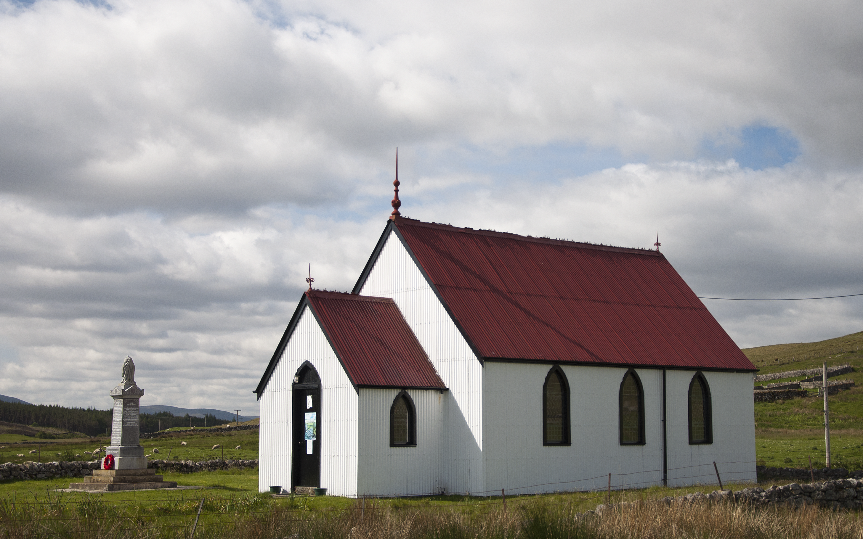
The village itself is small but charming, with a handful of traditional stone cottages and a quaint village square. The local community is close-knit and friendly, often organizing events and gatherings for residents and visitors alike. The village is also home to a small church, which serves as the spiritual center for the community.
Ceann-na-coille offers various outdoor activities for visitors to enjoy. There are numerous walking trails and biking paths that wind through the forest, providing stunning views of the surrounding landscape. Fishing is also a popular pastime in the nearby rivers and lochs, with ample opportunities to catch salmon and trout.
Overall, Ceann-na-coille is a hidden gem in the Sutherland countryside, offering a peaceful and idyllic setting for those seeking a retreat in nature. Its lush forest, friendly community, and outdoor activities make it a must-visit destination for nature enthusiasts and those looking to unwind amidst Scotland's natural beauty.
If you have any feedback on the listing, please let us know in the comments section below.
Ceann-na-coille Images
Images are sourced within 2km of 58.333866/-4.2590057 or Grid Reference NC6740. Thanks to Geograph Open Source API. All images are credited.


Ceann-na-coille is located at Grid Ref: NC6740 (Lat: 58.333866, Lng: -4.2590057)
Unitary Authority: Highland
Police Authority: Highlands and Islands
What 3 Words
///splendid.incisions.rephrase. Near Altnaharra, Highland
Nearby Locations
Related Wikis
Syre, Scotland
Syre (Scottish Gaelic: Saghair) is a small settlement, located within Strath Naver, in Sutherland, Scottish Highlands and is in the Scottish council area...

Strathnaver
Strathnaver or Strath Naver (Scottish Gaelic: Srath Nabhair) is the fertile strath of the River Naver, a famous salmon river that flows from Loch Naver...

Langdale Broch
Lanndale Broch is an Iron Age broch in Sutherland, Scotland. == Location == The broch is located next to Langdale Burn, a quarter mile from the River Naver...
Inshlampie Broch
Broch of Inshlampie is an Iron Age broch in Scotland. == Location == Located in Farr, Sutherland, this possible broch is situated in a highly defensible...

Loch Naver
Loch Naver is a loch in the Farr parish in Sutherland in the Highland council area of northern Scotland. It is situated upon the B873 main road. Upon the...
Loch Rimsdale
Loch Rimsdale is a loch in the Farr parish in Sutherland in the Highland Council Area of northern Scotland. It is located near the B871 main road. There...
Loch Nan Clar
Loch Nan Clar is a loch in Sutherland in the Highland Council Area of northern Scotland. It is located near the B871 main road, and there is no settlement...
Nearby Amenities
Located within 500m of 58.333866,-4.2590057Have you been to Ceann-na-coille?
Leave your review of Ceann-na-coille below (or comments, questions and feedback).