Barnshalloch Moor
Wood, Forest in Kirkcudbrightshire
Scotland
Barnshalloch Moor
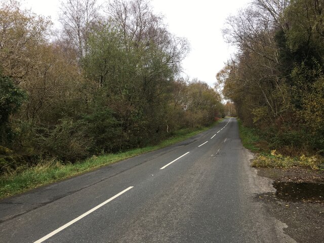
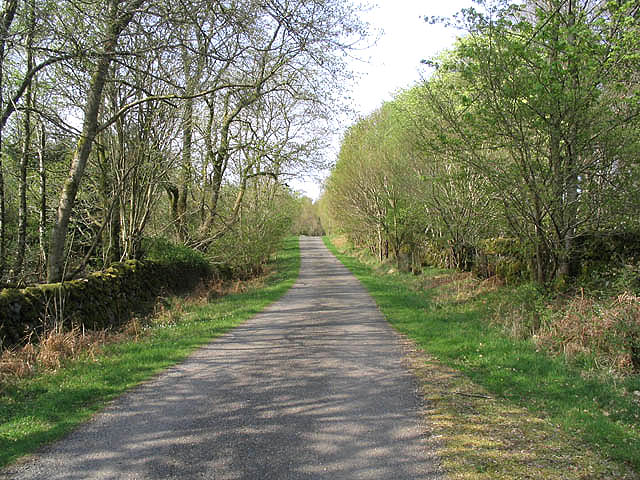
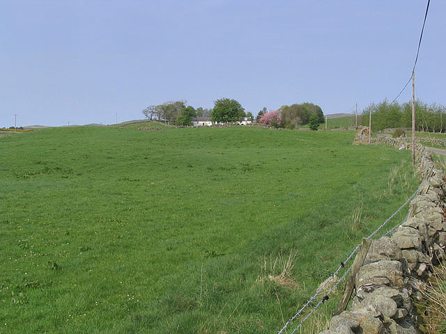
Barnshalloch Moor, located in Kirkcudbrightshire, is a picturesque wood and forest area that encompasses approximately 300 hectares of land. Situated in the southwest of Scotland, this moorland is renowned for its diverse ecosystem and natural beauty.
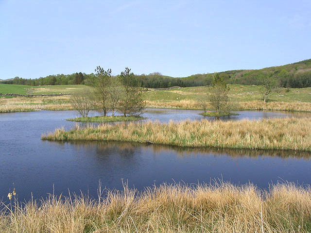
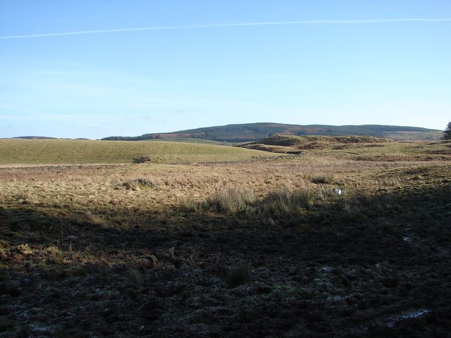
The moor is dominated by a mixture of ancient woodland, heather moorland, and wetland habitats, creating a rich landscape that supports a wide variety of flora and fauna. The woodlands consist of both native and non-native tree species, including oak, birch, and pine, providing a habitat for numerous bird species such as woodpeckers, owls, and finches.
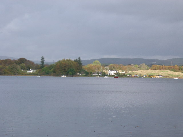
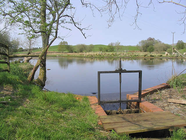
Barnshalloch Moor is also home to several mammal species, including red deer, foxes, and badgers. The wetland areas support a range of aquatic plants and insects, attracting species like dragonflies and water voles.
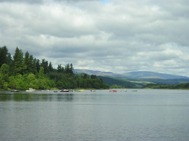
The moorland offers various recreational opportunities for visitors, including walking trails and birdwatching spots. The diverse range of habitats provides a unique experience for nature enthusiasts, allowing them to explore the different ecosystems and observe the wildlife that calls Barnshalloch Moor home.
Conservation efforts are in place to protect and preserve this natural environment, ensuring the continued existence of its diverse habitats and species. The moor is open to the public, and visitors are encouraged to respect the delicate balance of the ecosystem and adhere to any guidelines or restrictions in place to maintain its integrity. Overall, Barnshalloch Moor is a haven for nature lovers and a valuable asset to the Kirkcudbrightshire region.
If you have any feedback on the listing, please let us know in the comments section below.
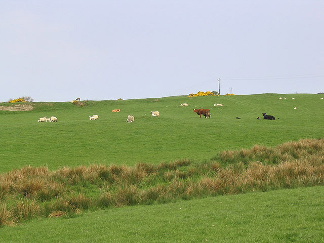
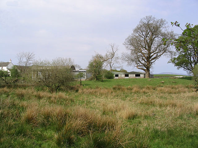
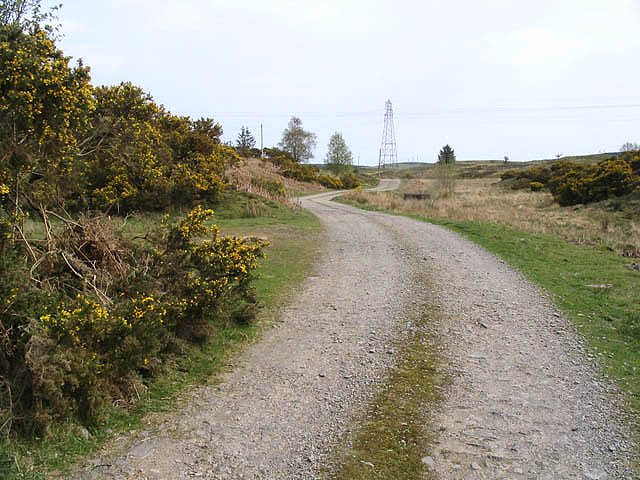
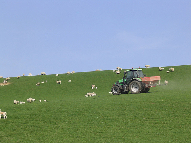
Barnshalloch Moor Images
Images are sourced within 2km of 55.04984/-4.08433 or Grid Reference NX6674. Thanks to Geograph Open Source API. All images are credited.


Barnshalloch Moor is located at Grid Ref: NX6674 (Lat: 55.04984, Lng: -4.08433)
Unitary Authority: Dumfries and Galloway
Police Authority: Dumfries and Galloway
What 3 Words
///sparrows.elaborate.printers. Near Castle Douglas, Dumfries & Galloway
Nearby Locations
Related Wikis

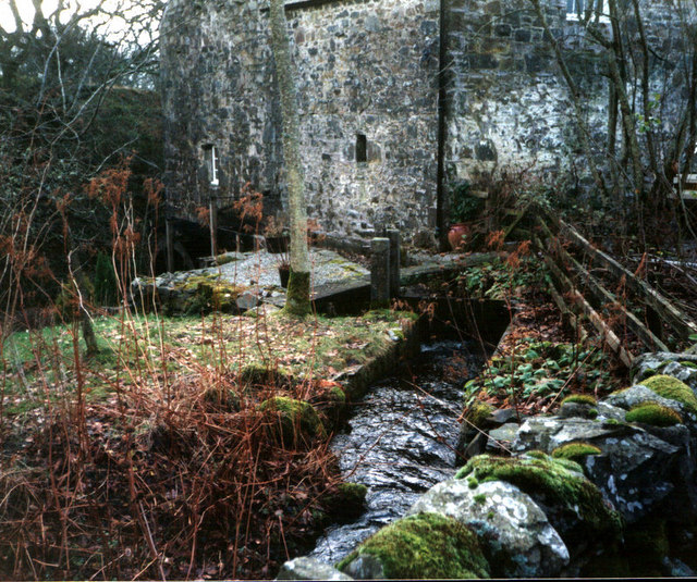
Ironmacannie Mill
Ironmacannie Mill is a historic watermill near Balmaclellan in Dumfries and Galloway, Scotland. Built in the 18th and 19th centuries, on the site of an...

Galloway
Galloway (Scottish Gaelic: Gall-Ghàidhealaibh [ˈkal̪ˠaɣəl̪ˠu]; Scots: Gallowa; Latin: Gallovidia) is a region in southwestern Scotland comprising the historic...

Kenmure Castle
Kenmure Castle is a fortified house or castle in The Glenkens, 1 mile (1.6 km) south of the town of New Galloway in Kirkcudbrightshire, Galloway, south...

New Galloway
New Galloway (Scottish Gaelic: Gall-Ghàidhealaibh Nuadh) is a town in the historical county of Kirkcudbrightshire in Dumfries and Galloway. It lies on...
Nearby Amenities
Located within 500m of 55.04984,-4.08433Have you been to Barnshalloch Moor?
Leave your review of Barnshalloch Moor below (or comments, questions and feedback).