Dasher Wood

Wood, Forest in Stirlingshire

Scotland

Dasher Wood

Young woodland Trees have recently been planted near Kippen Station.
Young woodland Credit: Richard Webb

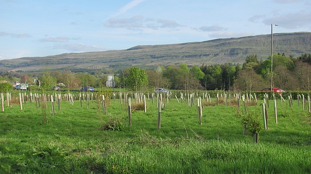
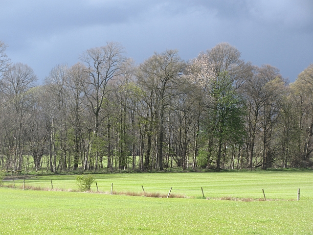
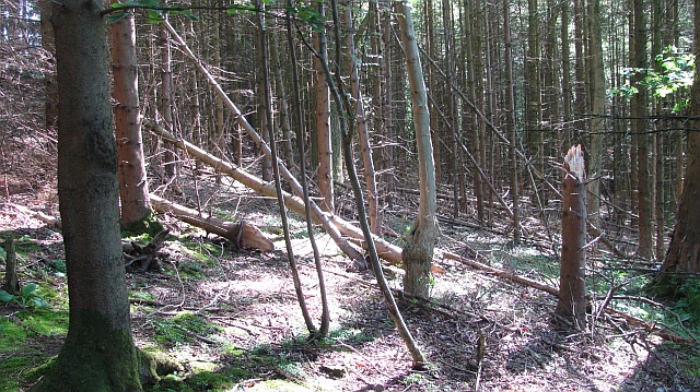
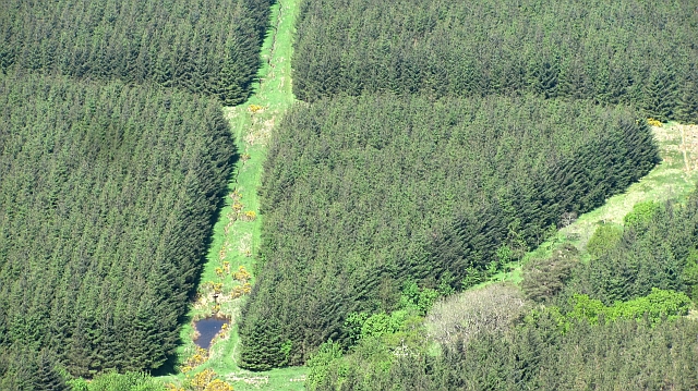
Dasher Wood is a picturesque forest located in the region of Stirlingshire, Scotland. Covering an area of approximately 450 acres, the wood is renowned for its natural beauty and diverse range of flora and fauna.

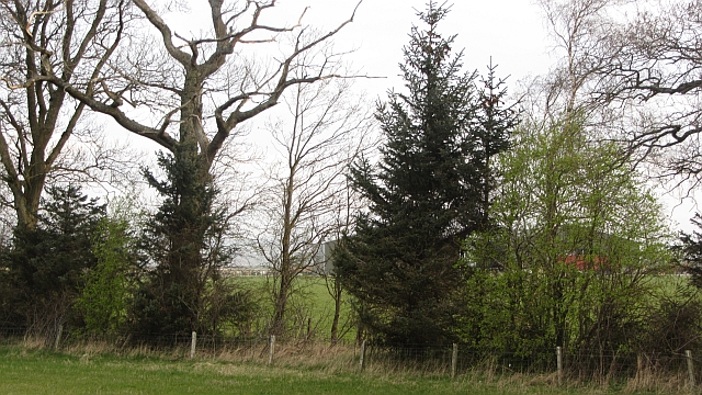
The wood is predominantly composed of broadleaf trees, including oak, birch, and beech, which create a vibrant and colorful canopy during the autumn months. These trees provide a habitat for various wildlife species, such as red squirrels, roe deer, and a wide array of bird species, making it a popular destination for nature enthusiasts and birdwatchers.

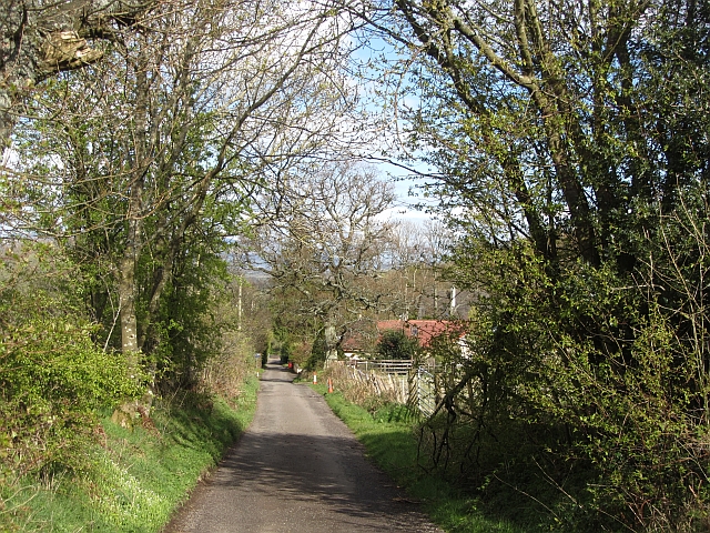
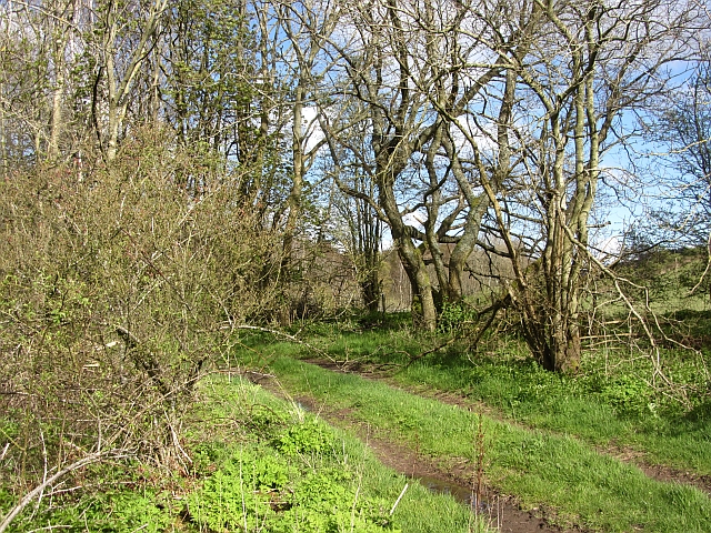
Dasher Wood is intersected by a network of well-maintained footpaths and trails, allowing visitors to explore its enchanting surroundings. The trails provide opportunities for leisurely walks, hiking, and cycling, catering to individuals of all fitness levels.

One of the highlights of Dasher Wood is its tranquil pond, which is home to a variety of aquatic plants, insects, and amphibians. The pond also attracts numerous bird species, making it a perfect spot for birdwatching and photography.

The wood is open to the public throughout the year, offering a peaceful and serene environment for relaxation and outdoor activities. It is advisable to bring appropriate footwear and clothing, as the terrain can be uneven and muddy during wet weather.

Dasher Wood is easily accessible, with car parking facilities available nearby. Whether for a leisurely stroll, wildlife observation, or simply enjoying the tranquility of nature, Dasher Wood is a must-visit destination for those seeking a serene and natural retreat in Stirlingshire.

If you have any feedback on the listing, please let us know in the comments section below.

Dasher Wood Images

Images are sourced within 2km of 56.121616/-4.1442727 or Grid Reference NS6694. Thanks to Geograph Open Source API. All images are credited.

Young woodland Trees have recently been planted near Kippen Station.
Young woodland
Trees have recently been planted near Kippen Station.
Watercourse, Boquhan A burn on the Forth floodplain has wooded banks. The surrounding fields are grass.
Watercourse, Boquhan
A burn on the Forth floodplain has wooded banks. The surrounding fields are grass.
Photovoltaic array, Kippen Station Behind a striking modern building and amongst new woodland there is a set of panels generating electricity.
Photovoltaic array, Kippen Station
Behind a striking modern building and amongst new woodland there is a set of panels generating electricity.
Fast growing grass Hillside at Kippen, above the sewage treatment plant.
Fast growing grass
Hillside at Kippen, above the sewage treatment plant.
Main Street, Kippen
Main Street, Kippen
Old Military Road Once the road between Dumbarton and Stirling, now a no through road lane.
Old Military Road
Once the road between Dumbarton and Stirling, now a no through road lane.
Woodland, Boquhan A strip of woodland between grass fields. There is some dairy farming here.
Woodland, Boquhan
A strip of woodland between grass fields. There is some dairy farming here.
Kippen Post Office Main Street, Kippen.
Kippen Post Office
Main Street, Kippen.
Bain's Bog Wood A long wood on the edge of the carse land.
Bain's Bog Wood
A long wood on the edge of the carse land.
Kippen Station Roundabout Approaching the Kippen Station Roundabout from the west on the A811 towards Stirling.
Kippen Station Roundabout
Approaching the Kippen Station Roundabout from the west on the A811 towards Stirling.
A811, Near Kippen
A811, Near Kippen
A811, Kippen Station Approaching the Kippen Station roundabout on the A811 from Stirling.
A811, Kippen Station
Approaching the Kippen Station roundabout on the A811 from Stirling.
A811, Crawfordston A  large barn next to the A811.
A811, Crawfordston
A large barn next to the A811.
Woodhouse cafe An attractive recent addition to the facilities beside Kippen Station roundabout on the A811 road.
Woodhouse cafe
An attractive recent addition to the facilities beside Kippen Station roundabout on the A811 road.
Bogle Glen Wood A small conifer plantation.
Bogle Glen Wood
A small conifer plantation.
Blair Moss Wood Conifer plantation beneath the Gargunnock Hills escarpment.
Blair Moss Wood
Conifer plantation beneath the Gargunnock Hills escarpment.
Field above the Boquhan Burn The burn flows through a deep ravine which looks like it might repay exploration. A long focus brings in the Perthshire Highlands in the background.
Field above the Boquhan Burn
The burn flows through a deep ravine which looks like it might repay exploration. A long focus brings in the Perthshire Highlands in the background.
A811 towards Crawfordston
Show me another place!

Dasher Wood is located at Grid Ref: NS6694 (Lat: 56.121616, Lng: -4.1442727)

Unitary Authority: Stirling

Police Authority: Forth Valley

What 3 Words

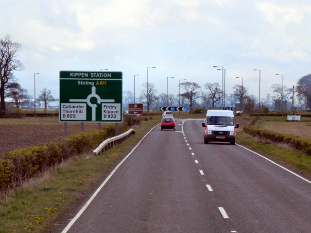
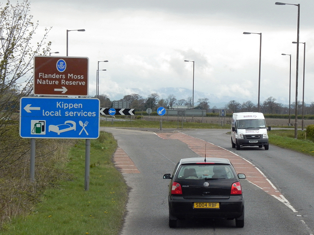
///rezoning.pigs.happier. Near Kippen, Stirling

Nearby Locations

Trough Wood Dasher Wood

Related Wikis

Kippen railway station

Kippen railway station co-served the village of Kippen, Stirling, Scotland, from 1856 to 1934 on the Forth and Clyde Junction Railway. == History == The...

Kippen

Kippen is a village in west Stirlingshire, Scotland. It lies between the Gargunnock Hills and the Fintry Hills and overlooks the Carse of Forth to the...

Leckie Broch

Leckie Broch is an iron-age broch located in Stirlingshire, Scotland. == Location == Just above the confluence of two streams with deep gulleys on the...

Gargunnock Hills

The Gargunnock Hills are a range of hills west of the city of Stirling, Scotland. They culminate in the peak of Carleatheran, whose 485-metre (1,591 ft...

Nearby Amenities

Located within 500m of 56.121616,-4.1442727
Power: pole
Lat/Long: 56.1198135/-4.1370979
Power: pole
Lat/Long: 56.1195138/-4.1381919
Power: pole
Lat/Long: 56.119213/-4.13929
Power: pole
Lat/Long: 56.118932/-4.1403004
Power: pole
Lat/Long: 56.1186626/-4.1413065
Power: pole
Lat/Long: 56.1184166/-4.1422603
Power: pole
Lat/Long: 56.1181507/-4.1432162
Power: pole
Lat/Long: 56.1178976/-4.1441784
Power: pole
Lat/Long: 56.1172563/-4.1450319
The data included in this document is from www.openstreetmap.org. The data is made available under ODbL.

Have you been to Dasher Wood?

Leave your review of Dasher Wood below (or comments, questions and feedback).