Garrique Wood
Wood, Forest in Stirlingshire
Scotland
Garrique Wood
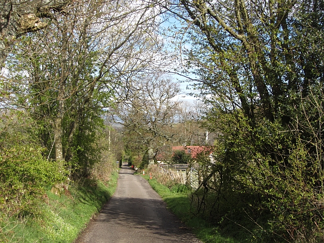
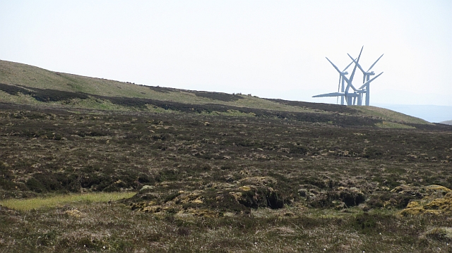
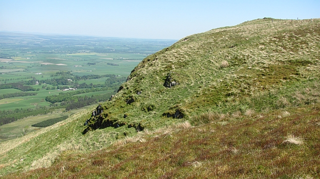
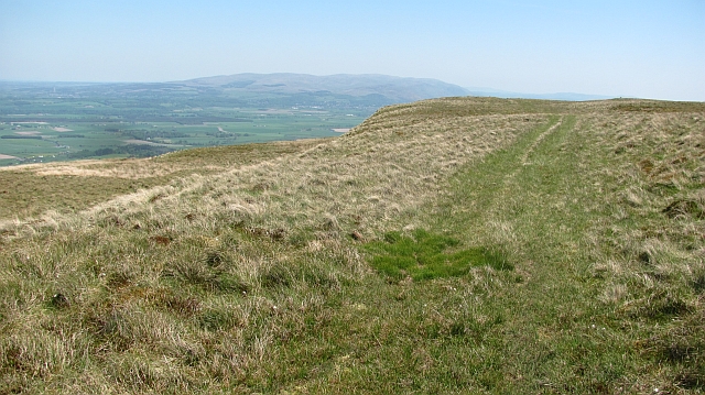
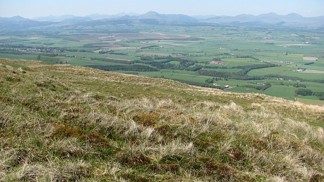
Garrigue Wood is a stunning natural haven situated in Stirlingshire, Scotland. Covering an area of approximately 500 acres, this enchanting forest is renowned for its outstanding beauty and diverse flora and fauna.
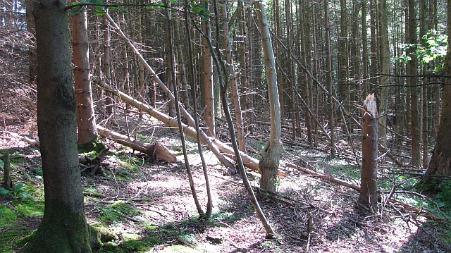
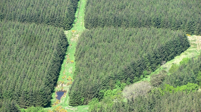
The wood is predominantly composed of native Scottish species, including oak, birch, and pine trees, which create a rich and vibrant ecosystem. The forest floor is adorned with an array of wildflowers, such as bluebells and primroses, adding bursts of color to the landscape.
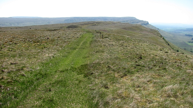
The wood is crisscrossed with a network of well-maintained walking trails, providing visitors with the opportunity to explore its serene surroundings. These paths cater to various difficulty levels, ensuring that individuals of all fitness levels can enjoy the wood at their own pace. Nature enthusiasts can revel in the numerous bird species that inhabit the wood, including woodpeckers, owls, and various songbirds.
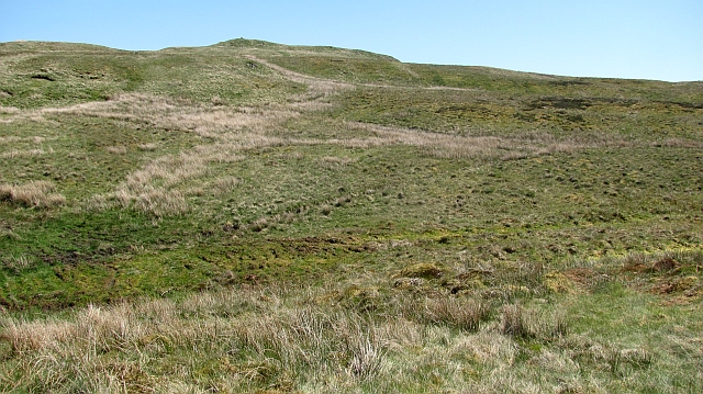
Garrigue Wood is also home to a diverse range of wildlife, including red deer, foxes, and badgers. Lucky visitors may even catch a glimpse of elusive pine martens or red squirrels. The wood offers a peaceful retreat for those seeking solitude and tranquility, as well as a haven for photographers, painters, and nature lovers alike.
Additionally, the wood boasts a visitor center that provides information about the local flora and fauna, maps of the trails, and educational displays on the history and conservation efforts of the wood. Overall, Garrigue Wood is a must-visit destination for those seeking to immerse themselves in the natural beauty of Stirlingshire.
If you have any feedback on the listing, please let us know in the comments section below.
Garrique Wood Images
Images are sourced within 2km of 56.109615/-4.145535 or Grid Reference NS6692. Thanks to Geograph Open Source API. All images are credited.


Garrique Wood is located at Grid Ref: NS6692 (Lat: 56.109615, Lng: -4.145535)
Unitary Authority: Stirling
Police Authority: Forth Valley
What 3 Words
///crowds.juicy.self. Near Kippen, Stirling
Nearby Locations
Related Wikis
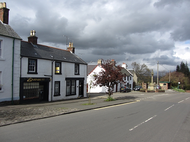
Kippen
Kippen is a village in west Stirlingshire, Scotland. It lies between the Gargunnock Hills and the Fintry Hills and overlooks the Carse of Forth to the...

Gargunnock Hills
The Gargunnock Hills are a range of hills west of the city of Stirling, Scotland. They culminate in the peak of Carleatheran, whose 485-metre (1,591 ft...

Leckie Broch
Leckie Broch is an iron-age broch located in Stirlingshire, Scotland. == Location == Just above the confluence of two streams with deep gulleys on the...

Kippen railway station
Kippen railway station co-served the village of Kippen, Stirling, Scotland, from 1856 to 1934 on the Forth and Clyde Junction Railway. == History == The...
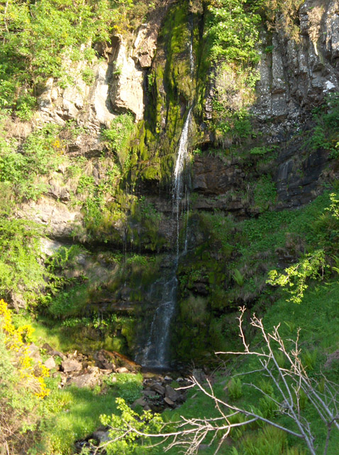
Downie's Loup
Downie's Loup is a waterfall of Scotland located near the village of Gargunnock. == See also == Waterfalls of Scotland == References ==

Stirling (UK Parliament constituency)
Stirling is a county constituency of the House of Commons of the Parliament of the United Kingdom. It elects one Member of Parliament (MP) by the first...

Fairfield Siding railway station
Fairfield Siding railway station co-served the village of Kippen, Stirling, Scotland, from 1861 to 1866 on the Forth and Clyde Junction Railway. ��2�...
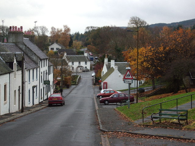
Gargunnock
Gargunnock is a small village in the Stirling council area with an active community trust, seven miles (eleven kilometres) west of Stirling, in Scotland...
Nearby Amenities
Located within 500m of 56.109615,-4.145535Have you been to Garrique Wood?
Leave your review of Garrique Wood below (or comments, questions and feedback).