Drumbane Strip
Wood, Forest in Perthshire
Scotland
Drumbane Strip
The requested URL returned error: 429 Too Many Requests
If you have any feedback on the listing, please let us know in the comments section below.
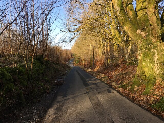
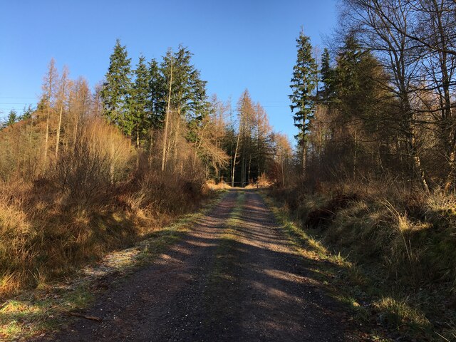
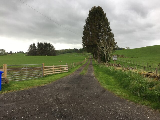
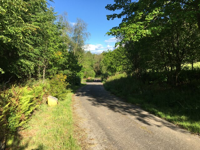
Drumbane Strip Images
Images are sourced within 2km of 56.230438/-4.1622894 or Grid Reference NN6606. Thanks to Geograph Open Source API. All images are credited.


Drumbane Strip is located at Grid Ref: NN6606 (Lat: 56.230438, Lng: -4.1622894)
Unitary Authority: Stirling
Police Authority: Forth Valley
What 3 Words
///pies.grouping.incensed. Near Callander, Stirling
Nearby Locations
Related Wikis

Cambusmore (Stirling)
Cambusmore is a country house in Stirling, Scotland, located 1 mile (1.6 km) southeast of the town of Callander. Situated on a tributary on the northern...

A84 road
The A84 is a major road in Scotland, United Kingdom. It links the city of Stirling with Lochearnhead, running an approximate 28 miles (45 km). == Road... ==

Bracklinn Falls
The Bracklinn Falls are a series of waterfalls north-east of Callander, Scotland on the course of the Keltie Water, where the river crosses the Highland...

McLaren High School
McLaren High School is a state comprehensive, non-denominational secondary school in Callander, central Scotland. It was founded in 1892 by Donald McLaren...
Nearby Amenities
Located within 500m of 56.230438,-4.1622894Have you been to Drumbane Strip?
Leave your review of Drumbane Strip below (or comments, questions and feedback).