Blackhills Wood

Wood, Forest in Ross-shire

Scotland

Blackhills Wood

Holy Wood Remains of a previous generation.
Holy Wood Credit: Richard Webb

Blackhills Wood, located in Ross-shire, Scotland, is a sprawling forest known for its breathtaking natural beauty and diverse wildlife. Spanning over a vast area, it is a popular destination for nature enthusiasts and hikers alike.

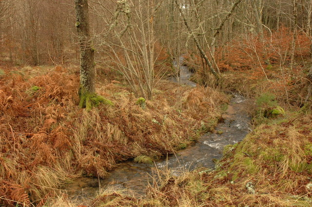
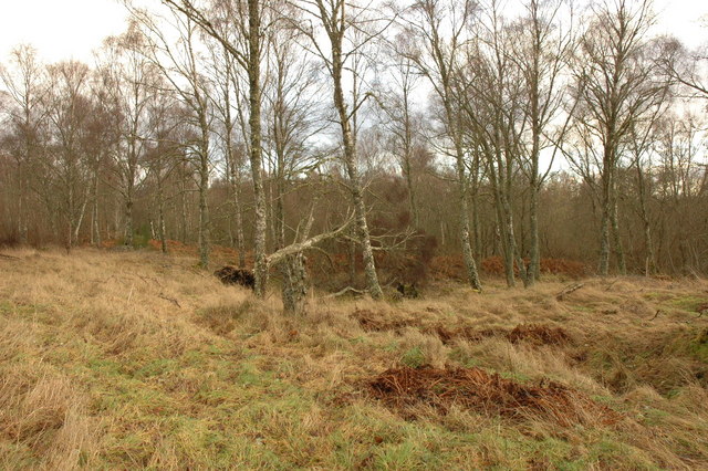
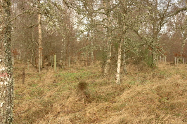
The wood is characterized by its dense canopy of towering trees, creating a serene and tranquil atmosphere. The predominant tree species found here include oak, birch, and pine, which provide shelter and sustenance for a variety of animals and birds. The forest floor is adorned with a rich carpet of wildflowers, adding a splash of vibrant colors during the spring and summer months.

Blackhills Wood boasts an impressive range of fauna. Red deer, roe deer, and squirrels are commonly spotted, along with elusive species like pine martens and tawny owls. Birdwatchers can delight in the presence of buzzards, golden eagles, and various other bird species that call this forest home.

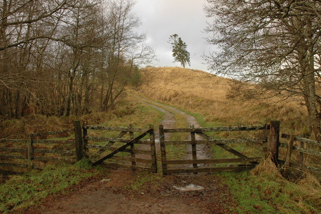
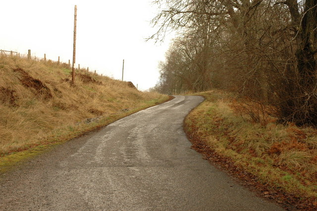
Several well-marked trails wind through the wood, offering visitors the opportunity to explore its hidden corners and discover its hidden gems. These trails cater to all levels of fitness and provide scenic viewpoints along the way.

Blackhills Wood not only serves as a recreational spot but also plays a vital role in the region's ecosystem. The forest acts as a carbon sink, absorbing greenhouse gases and contributing to the fight against climate change.

In conclusion, Blackhills Wood in Ross-shire is a picturesque forest teeming with biodiversity. Its stunning landscapes, abundant wildlife, and well-maintained trails make it a must-visit destination for nature lovers and outdoor enthusiasts.

If you have any feedback on the listing, please let us know in the comments section below.

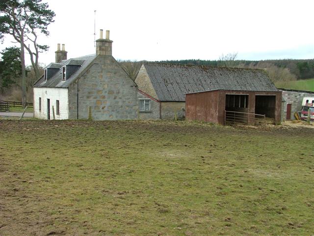
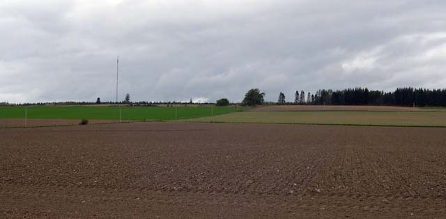
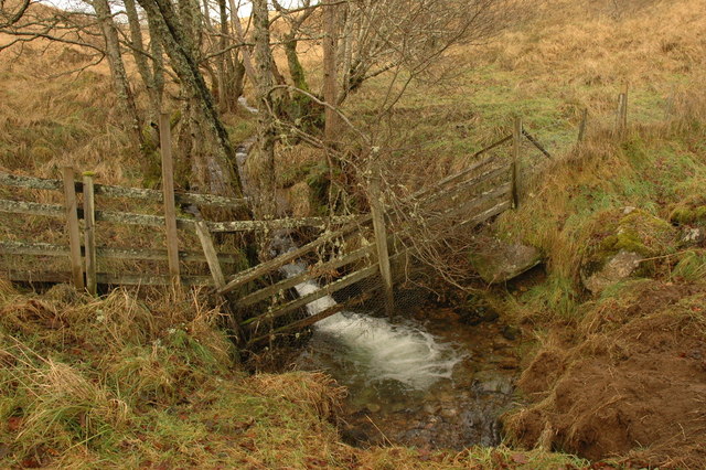
Blackhills Wood Images

Images are sourced within 2km of 57.57411/-4.2425036 or Grid Reference NH6555. Thanks to Geograph Open Source API. All images are credited.

Holy Wood Remains of a previous generation.
Holy Wood
Remains of a previous generation.
Tattie Field Potatoes seem to do well in the sandy soils on the slopes of the Millbuie ridge.
Tattie Field
Potatoes seem to do well in the sandy soils on the slopes of the Millbuie ridge.
Pink Lodge Hay field near the pink Pink Lodge. The triangle of grass is left after a particularly sharp bend was replaced by a smooth curve of wide road.  The Black Isle was once a place of little traffic, but with the Kessock Bridge, and Inverness commuters the single track roads are barely up to the task.
Pink Lodge
Hay field near the pink Pink Lodge. The triangle of grass is left after a particularly sharp bend was replaced by a smooth curve of wide road. The Black Isle was once a place of little traffic, but with the Kessock Bridge, and Inverness commuters the single track roads are barely up to the task.
Sandy soils Glacial sands can provide a challenge for those wishing to make a living from the land. Much of the sandy soil on the Black Isle is covered in big pine plantations. There are also potato fields. Here one shows off a white stripe, where a particular seed stock is flowering.
Sandy soils
Glacial sands can provide a challenge for those wishing to make a living from the land. Much of the sandy soil on the Black Isle is covered in big pine plantations. There are also potato fields. Here one shows off a white stripe, where a particular seed stock is flowering.
Roskill A wheat crop beside the access road to Roskill House.
Roskill
A wheat crop beside the access road to Roskill House.
Killen Smithy To the west of Killen.
Killen Smithy
To the west of Killen.
Tullich Steading It was the tree to the right that caught my eye in the first instance, but for a surprise concerning the green silo, go to <a href="https://www.geograph.org.uk/photo/1606019">NH6554 : The tree at Tullich Steading</a>where Dr. Julian Paren explains.
Tullich Steading
It was the tree to the right that caught my eye in the first instance, but for a surprise concerning the green silo, go to NH6554 : The tree at Tullich Steadingwhere Dr. Julian Paren explains.
Beech Hedge and Trees On the driveway to Roskill House.
Beech Hedge and Trees
On the driveway to Roskill House.
By Bellton Wood An arbitrary passing place on the Black Isle.
By Bellton Wood
An arbitrary passing place on the Black Isle.
Auchterflow fields A typical Black Isle agricultural scene.
Auchterflow fields
A typical Black Isle agricultural scene.
Surviving Tree The edge of the now cleared forestry plantation is marked by this sole tree.
Surviving Tree
The edge of the now cleared forestry plantation is marked by this sole tree.
Gate and farm track near Killen
Small unnamed burn near Killen This flows into Killen Burn.
Small unnamed burn near Killen
This flows into Killen Burn.
Small unnamed burn near Killen
Minor road near Killen
Woodland near Killen Burn
Estate track through an avenue of trees In Rosehaugh Estate
Estate track through an avenue of trees
In Rosehaugh Estate
Show me another place!

Blackhills Wood is located at Grid Ref: NH6555 (Lat: 57.57411, Lng: -4.2425036)

Unitary Authority: Highland

Police Authority: Highlands and Islands

What 3 Words

///birthing.launched.thumbnail. Near Fortrose, Highland

Related Wikis

Black Isle

The Black Isle (Scottish Gaelic: an t-Eilean Dubh, pronounced [ən̪ˠ ˈtʲʰelan ˈt̪uh]) is a peninsula within Ross and Cromarty, in the Scottish Highlands...

Mounteagle transmitting station

The Mounteagle transmitting station is a broadcasting and telecommunications facility, situated close to the town of Fortrose, Scotland, in Highland (grid...

Munlochy

Munlochy ( mən-LOKH-ee; Scottish Gaelic: Poll Lochaidh) is a small village, lying at the head of Munlochy Bay (Ob Poll Lochaidh), in the Black Isle in...

Killen, Highland

Killen is a small remote rural hamlet, located 2 miles northwest of Avoch and Fortrose, in the Black Isle, Ross-shire, Scottish Highlands and is in the...

Nearby Amenities

Located within 500m of 57.57411,-4.2425036
Power: pole
Lat/Long: 57.570968/-4.2380649
Power: pole
Lat/Long: 57.5711399/-4.2383328
Power: pole
Lat/Long: 57.5714686/-4.2391789
Power: pole
Lat/Long: 57.5718494/-4.2401327
Power: pole
Lat/Long: 57.5722259/-4.2412041
The data included in this document is from www.openstreetmap.org. The data is made available under ODbL.

Have you been to Blackhills Wood?

Leave your review of Blackhills Wood below (or comments, questions and feedback).