Coill' a' Bhad-daraich

Wood, Forest in Sutherland

Scotland

Coill' a' Bhad-daraich

Creich Wester Fearn beyond, viewed from the summit of A'Chraisg
Creich Credit: sylvia duckworth

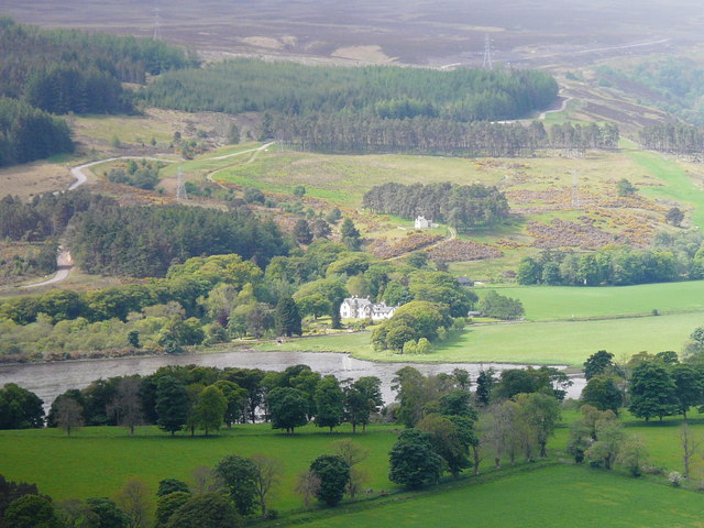
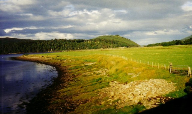
Coill' a' Bhad-daraich, located in Sutherland, Scotland, is a picturesque woodland area known for its abundant flora and fauna. The name itself translates to "Wood, Forest" in Gaelic, which is fitting considering the dense vegetation that characterizes the area.

Covering an extensive area, Coill' a' Bhad-daraich boasts a diverse range of tree species, including native Scots pines, birches, and rowans. These trees provide an ideal habitat for various wildlife species, such as red squirrels, roe deer, and numerous bird species. Birdwatchers are often drawn to the forest for the opportunity to spot rare species like the capercaillie and Scottish crossbill.

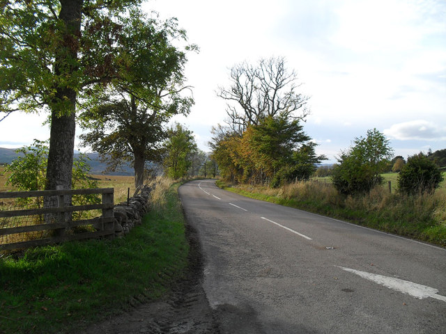
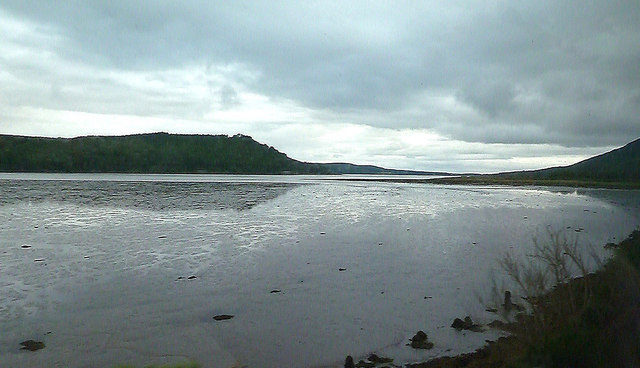
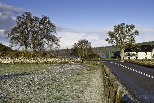
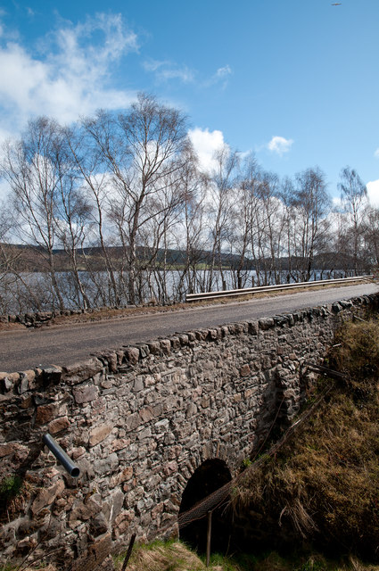
The woodland is crisscrossed by a network of walking trails, which allow visitors to explore the natural beauty of the area at their own pace. These pathways are well-maintained and offer stunning views of the surrounding countryside, including the nearby mountains and lochs.

Coill' a' Bhad-daraich is also a popular destination for outdoor enthusiasts interested in activities like hiking, camping, and nature photography. With its tranquil atmosphere and serene surroundings, it provides an opportunity for individuals to reconnect with nature and escape the hustle and bustle of everyday life.

Overall, Coill' a' Bhad-daraich in Sutherland offers a unique and immersive experience for nature lovers, providing a glimpse into the enchanting beauty of Scotland's woodlands.

If you have any feedback on the listing, please let us know in the comments section below.

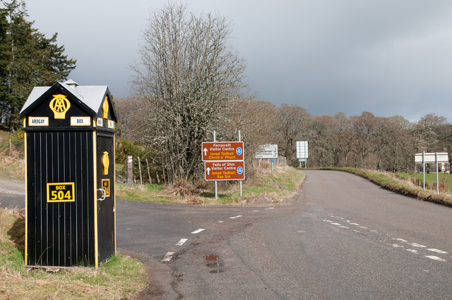
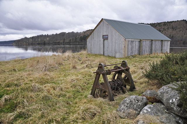
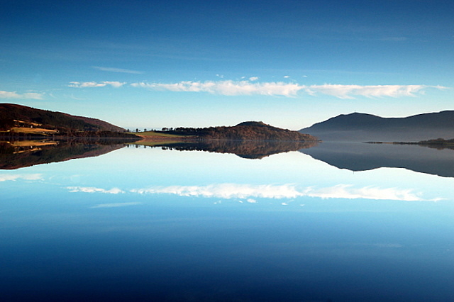
Coill' a' Bhad-daraich Images

Images are sourced within 2km of 57.866432/-4.2943025 or Grid Reference NH6388. Thanks to Geograph Open Source API. All images are credited.

Creich Wester Fearn beyond, viewed from the summit of A'Chraisg
Creich
Wester Fearn beyond, viewed from the summit of A'Chraisg
St Demhan's Cross Standing Stone near Bonar Bridge at Creich Church
St Demhan's Cross
Standing Stone near Bonar Bridge at Creich Church
Cottage courtyard at the gate to Fearn Lodge
Creich Mains
Creich Mains
Old A9 near Creich
Old A9 near Creich
Ardgay AA Box This beautifully preserved AA box stands at the junction of the A836 and the B9176 - although until the bridge over the Dornoch Firth was built what is now the A836 was the A9 and the B9176 was the A836! AA boxes, and their counterparts the RAC boxes, were once common sights on the highways of Great Britain and they offered members not only the opportunity to 'phone for rescue but also useful equipment such as a light and local maps. Each box carried a unique number and members were issued with a key to allow access. As motoring changed so the need for the boxes diminished and the widespread adoption of mobile phones was the final nail in their coffin. There are very few left now and it is doubtful if any are in as good a condition as this one.
Ardgay AA Box
This beautifully preserved AA box stands at the junction of the A836 and the B9176 - although until the bridge over the Dornoch Firth was built what is now the A836 was the A9 and the B9176 was the A836! AA boxes, and their counterparts the RAC boxes, were once common sights on the highways of Great Britain and they offered members not only the opportunity to 'phone for rescue but also useful equipment such as a light and local maps. Each box carried a unique number and members were issued with a key to allow access. As motoring changed so the need for the boxes diminished and the widespread adoption of mobile phones was the final nail in their coffin. There are very few left now and it is doubtful if any are in as good a condition as this one.
Ardgay AA Box This delightful old AA box greets travellers on the old A9 road (now the A836) where it meets the B9176 a few mile south east of Ardgay village.
Ardgay AA Box
This delightful old AA box greets travellers on the old A9 road (now the A836) where it meets the B9176 a few mile south east of Ardgay village.
Railway near Easter Fearn Point Long, undulating straight
Railway near Easter Fearn Point
Long, undulating straight
Shoreline near Wester Fearn The view from the train in August 1999.
Shoreline near Wester Fearn
The view from the train in August 1999.
Dornoch Firth View Viewed from the train on the way to Thurso.
Dornoch Firth View
Viewed from the train on the way to Thurso.
Trees by Wester Fearn
A836 alongside Dornoch Firth A stretch of the A836 between Ardchronie and Wester Fearn where a bridge carries the road over a minor stream.
A836 alongside Dornoch Firth
A stretch of the A836 between Ardchronie and Wester Fearn where a bridge carries the road over a minor stream.
AA box No. 504 The box is at the junction of the A836 and the B9176; its location is known as Ardgay, a village a few miles away, and is in good repair. Despite that, the box no longer houses a telephone - the AA abandoned their system around the year 2002.
AA box No. 504
The box is at the junction of the A836 and the B9176; its location is known as Ardgay, a village a few miles away, and is in good repair. Despite that, the box no longer houses a telephone - the AA abandoned their system around the year 2002.
Boat House and old windlass at Easter Fearn Point
A rare visitor to the Far North Line LMS Black Five 44871 hauling the Cathedrals Explorer heading for Dunrobin Castle and Brora
A rare visitor to the Far North Line
LMS Black Five 44871 hauling the Cathedrals Explorer heading for Dunrobin Castle and Brora
AA box near Ardgay
AA box near Ardgay
A949 heading west Towards Bonar Bridge.
A949 heading west
Towards Bonar Bridge.
Farmland, Creich Mains South of the A949.
Farmland, Creich Mains
South of the A949.
Show me another place!

Coill' a' Bhad-daraich is located at Grid Ref: NH6388 (Lat: 57.866432, Lng: -4.2943025)

Unitary Authority: Highland

Police Authority: Highlands and Islands

What 3 Words

///bulb.prone.bolsters. Near Tain, Highland

Related Wikis

Creich

Creich (Scottish Gaelic: Craoich, pronounced [kʰɾɯːç]) is a substantial parish on the north side of the Dornoch Firth the largest settlement being Bonar...

Easter Fearn

Easter Fearn is a small settlement in the Ross-shire area of the Highland council area in Scotland, on the A836 and B9176 roads it is 3 miles from Ardgay...

Loch Migdale

Loch Migdale is a freshwater loch (Lake) near Bonar Bridge, in Sutherland, Highland, Scotland. The loch contains a crannog (artificial-island home) dating...

Ardchronie

Ardchronie (Scottish Gaelic: Àird Chrònaidh) is a hamlet in the Highland Council area of Scotland. It lies on the south side of the Dornoch Firth, about...

Nearby Amenities

Located within 500m of 57.866432,-4.2943025
Created By: almien_coastlines
Source: PGS
Lat/Long: 57.869109/-4.300922
Created By: almien_coastlines
Source: PGS
Lat/Long: 57.868858/-4.300433
Created By: almien_coastlines
Source: PGS
Lat/Long: 57.868351/-4.299934
Created By: almien_coastlines
Source: PGS
Lat/Long: 57.8681/-4.299444
Created By: almien_coastlines
Source: PGS
Lat/Long: 57.867844/-4.299435
Created By: almien_coastlines
Source: PGS
Lat/Long: 57.867588/-4.299426
Created By: almien_coastlines
Source: PGS
Lat/Long: 57.867337/-4.298937
Source: PGS
Lat/Long: 57.867093/-4.2981921
Source: PGS
Lat/Long: 57.8667098/-4.2972314
Created By: almien_coastlines
Source: PGS
Lat/Long: 57.866333/-4.296979
Created By: almien_coastlines
Source: PGS
Lat/Long: 57.865826/-4.29648
Created By: almien_coastlines
Source: PGS
Lat/Long: 57.865575/-4.295991
Created By: almien_coastlines
Source: PGS
Lat/Long: 57.865324/-4.295501
Created By: almien_coastlines
Source: PGS
Lat/Long: 57.864817/-4.295003
Created By: almien_coastlines
Source: PGS
Lat/Long: 57.864566/-4.294513
Created By: almien_coastlines
Source: PGS
Lat/Long: 57.864059/-4.294014
Created By: almien_coastlines
Source: PGS
Lat/Long: 57.863808/-4.293525
Created By: almien_coastlines
Source: PGS
Lat/Long: 57.863557/-4.293036
Created By: almien_coastlines
Source: PGS
Lat/Long: 57.862794/-4.292528
Created By: almien_coastlines
Source: PGS
Lat/Long: 57.862543/-4.292039
Created By: almien_coastlines
Source: PGS
Lat/Long: 57.862292/-4.291549
Power: pole
Lat/Long: 57.8681195/-4.2879927
Power: pole
Lat/Long: 57.8685178/-4.2889972
Power: pole
Lat/Long: 57.8687962/-4.2896384
Power: pole
Lat/Long: 57.869229/-4.290584
Power: pole
Lat/Long: 57.8696488/-4.2914586
Power: pole
Lat/Long: 57.8700773/-4.2923454
Power: pole
Lat/Long: 57.870482/-4.2932139
Power: pole
Lat/Long: 57.8709158/-4.2940945
Creich Mains
Place: isolated_dwelling
Lat/Long: 57.867891/-4.2881826
The data included in this document is from www.openstreetmap.org. The data is made available under ODbL.

Have you been to Coill' a' Bhad-daraich?

Leave your review of Coill' a' Bhad-daraich below (or comments, questions and feedback).