Boghead Wood
Wood, Forest in Ayrshire
Scotland
Boghead Wood
Boghead Wood is a woodland located in Ayrshire, Scotland. Covering an area of approximately 120 acres, it is known for its diverse flora and fauna, making it a popular destination for nature enthusiasts and walkers alike.
The wood is situated on the outskirts of the small village of Boghead, near the town of Mauchline. It is easily accessible by car, with a small parking area available for visitors. The wood is also well connected by public transport, with regular bus services passing by.
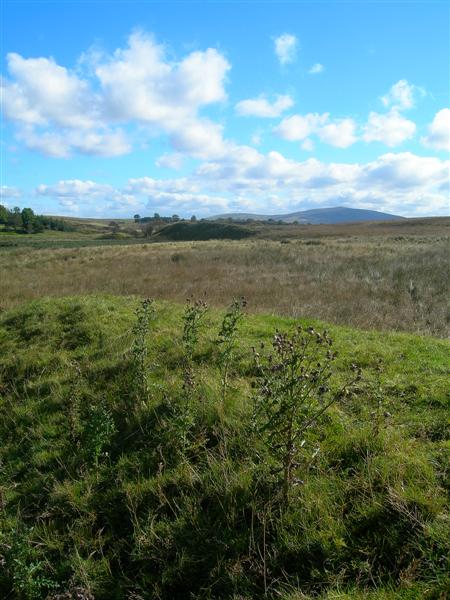
Boghead Wood is characterized by its mixed woodland, consisting of a variety of tree species such as oak, birch, and beech. The dense canopy provides a sheltered habitat for a range of wildlife, including red squirrels, roe deer, and various bird species. The wood is particularly renowned for its vibrant bird population, with species such as great spotted woodpeckers, long-tailed tits, and goldcrests frequently spotted.
The wood offers several walking trails that wind through its picturesque landscape. The paths are well-maintained, making them suitable for walkers of all abilities. Along the trails, visitors can enjoy the scenic beauty of the wood, with wildflowers blooming in the spring and vibrant autumn foliage.
Boghead Wood is a tranquil and peaceful haven, providing a welcome escape from the hustle and bustle of everyday life. Whether it's for a leisurely walk, bird watching, or simply enjoying the beauty of nature, Boghead Wood offers a serene and memorable experience for all who visit.
If you have any feedback on the listing, please let us know in the comments section below.
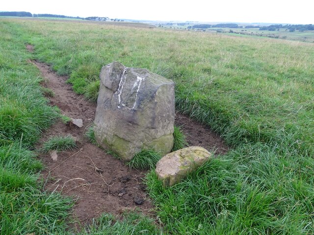
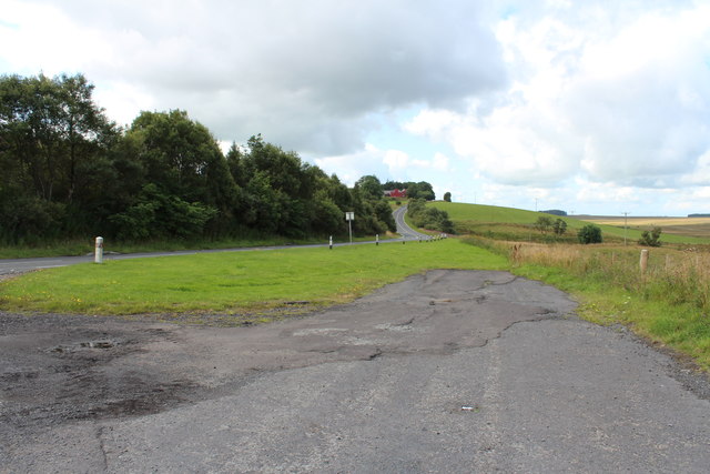
Boghead Wood Images
Images are sourced within 2km of 55.494224/-4.1621419 or Grid Reference NS6324. Thanks to Geograph Open Source API. All images are credited.


Boghead Wood is located at Grid Ref: NS6324 (Lat: 55.494224, Lng: -4.1621419)
Unitary Authority: East Ayrshire
Police Authority: Ayrshire
What 3 Words
///adventure.simulator.crinkled. Near Logan, East Ayrshire
Nearby Locations
Related Wikis

Greenock Water
Greenock Water is a river in East Ayrshire, Scotland. It flows out of the Dippal Burn, about 2 miles south of Dungavel Hill. A tributary of the River Ayr...

Cronberry railway station
Cronberry railway station was a railway station serving the hamlet of Cronberry, East Ayrshire, Scotland. The station was originally part of the Glasgow...
Airds Moss
Airds Moss is a large area of moor in East Ayrshire, the site is a protected area because of the extensive blanket bogs. In 1680 it was the location of...
Medieval turf building in Cronberry
Excavations in Cronberry, East Ayrshire, Scotland by Headland Archaeology revealed a medieval turf building and a nearby enclosure of unknown date. The...
Nearby Amenities
Located within 500m of 55.494224,-4.1621419Have you been to Boghead Wood?
Leave your review of Boghead Wood below (or comments, questions and feedback).