Bolt Wood

Wood, Forest in Ayrshire

Scotland

Bolt Wood

Large flat parking area south of Craigdarroch There have been a lot of forestry and wind turbine operations in the area;  this may have been related.
Large flat parking area south of Craigdarroch Credit: Gordon Brown

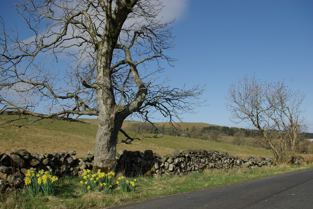
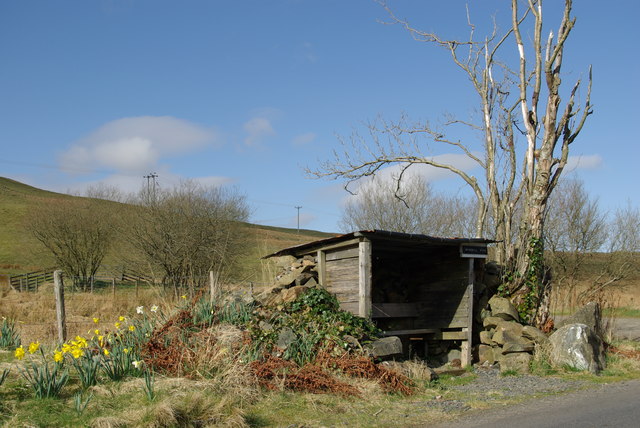
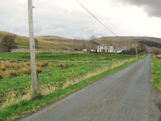
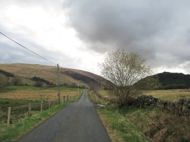
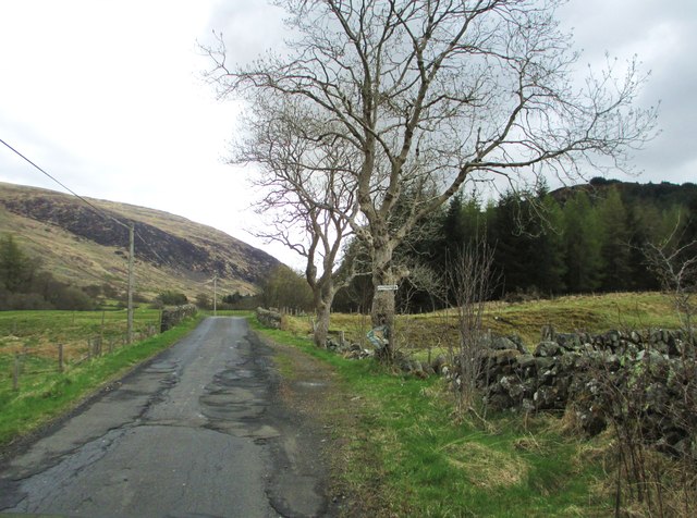
Bolt Wood, located in Ayrshire, Scotland, is a picturesque forest that spans approximately 100 acres. The wood is situated in close proximity to the small village of Bolt, adding to its charm and accessibility. It is a popular destination for nature enthusiasts, hikers, and birdwatchers, offering a serene and tranquil environment.

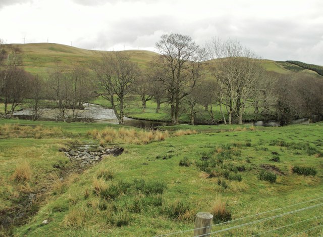
The woodland is predominantly composed of native broadleaf trees, including oak, birch, and beech, creating a diverse and vibrant ecosystem. The canopy of the trees provides a shaded and cool atmosphere during summer months, making it an ideal place for outdoor activities. The forest floor is covered in a thick layer of moss and fallen leaves, providing a soft and cushioned path for walkers.

Bolt Wood is home to an abundance of wildlife, including various bird species, such as woodpeckers, owls, and thrushes, making it a haven for birdwatching enthusiasts. Squirrels and rabbits can also be spotted darting through the undergrowth, adding to the woodland's charm.

There are several well-marked trails and footpaths within the wood, offering visitors the opportunity to explore the area at their own pace. These paths lead to scenic viewpoints and secluded picnic spots, allowing visitors to immerse themselves in the natural beauty of the surroundings.

Overall, Bolt Wood is a delightful destination for those seeking a peaceful retreat in nature. Its diverse flora and fauna, combined with its tranquil ambiance, make it a must-visit location for nature lovers and outdoor enthusiasts visiting Ayrshire.

If you have any feedback on the listing, please let us know in the comments section below.
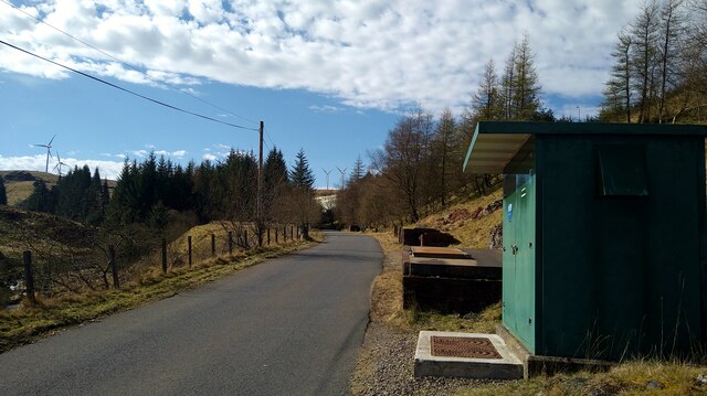
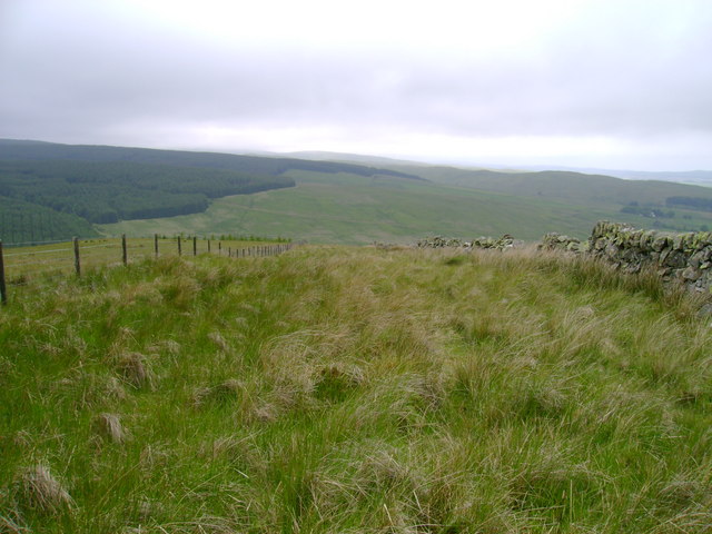
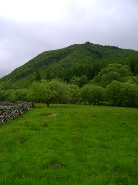
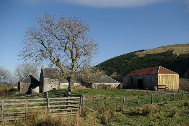
Bolt Wood Images

Images are sourced within 2km of 55.343744/-4.1604466 or Grid Reference NS6307. Thanks to Geograph Open Source API. All images are credited.

Large flat parking area south of Craigdarroch There have been a lot of forestry and wind turbine operations in the area;  this may have been related.
Large flat parking area south of Craigdarroch
There have been a lot of forestry and wind turbine operations in the area; this may have been related.
The road to the Afton Reservoir Although shown by the OS as a 'track' this is a well surfaced road leading to the reservoir and filter station.
The road to the Afton Reservoir
Although shown by the OS as a 'track' this is a well surfaced road leading to the reservoir and filter station.
The road to the Afton Reservoir and Filter Station The green cabinet is the Afton Regulatory Final Sample Point for the water supply.
The road to the Afton Reservoir and Filter Station
The green cabinet is the Afton Regulatory Final Sample Point for the water supply.
Between wall and fence Although this stretch of dry stone wall is dilapidated, allowing easy access from the right, sheep seem to have relatively little interest in this narrow parcel of land judging by the length of the grass.
Between wall and fence
Although this stretch of dry stone wall is dilapidated, allowing easy access from the right, sheep seem to have relatively little interest in this narrow parcel of land judging by the length of the grass.
Meadow near Blackcraig Meadow on the east bank of Afton Water with Boltcraig Hill in the background.
Meadow near Blackcraig
Meadow on the east bank of Afton Water with Boltcraig Hill in the background.
Lochingerroch Farm in Glen Afton
Lochingerroch
Farm in Glen Afton
Glen Afton road near Lochingerroch
Roadside shelter 'Windmill View' south of Lochingerroch One of several similar shelters to be found in Glen Afton
Roadside shelter 'Windmill View' south of Lochingerroch
One of several similar shelters to be found in Glen Afton
A minor road at Lochingerroch
The entrance to Lochingerroch
Heading into Glen Afton
Afton Water with Hare Hill Wind Farm in the distance
Bolt Burn Bridge
Bolt Burn Bridge
The entrance to Craigdarroch
Craigdarroch
Craigdarroch
A track to a bridge over Afton Water The minor road, on the right, leads to Afton Filter Station.
A track to a bridge over Afton Water
The minor road, on the right, leads to Afton Filter Station.
Heading towards Afton Filter Station
Old Storage Tank Discharge at Afton Filter Station
Show me another place!

Bolt Wood is located at Grid Ref: NS6307 (Lat: 55.343744, Lng: -4.1604466)

Unitary Authority: East Ayrshire

Police Authority: Ayrshire

What 3 Words

///opened.bloom.balconies. Near New Cumnock, East Ayrshire

Nearby Locations

Bolt Wood

Related Wikis

Blackcraig Hill

Blackcraig Hill is a hill in the Carsphairn and Scaur Hills range, part of the Southern Uplands of Scotland. It lies southeast of the town of New Cumnock...

Knockshinnoch disaster

The Knockshinnoch disaster was a mining accident that occurred in September 1950 in the village of New Cumnock, Ayrshire, Scotland. A glaciated lake filled...

New Cumnock Town Hall

New Cumnock Town Hall is a municipal building in Castle, New Cumnock, East Ayrshire, Scotland. The structure, which is used as a community events venue...

New Cumnock

New Cumnock is a town in East Ayrshire, Scotland. It expanded during the coal-mining era from the late 18th century, and mining remained its key industry...

Nearby Amenities

Located within 500m of 55.343744,-4.1604466
Barrier: cattle_grid
Source: survey
Lat/Long: 55.3467106/-4.1601727
Power: pole
Lat/Long: 55.3398095/-4.1613237
Power: pole
Lat/Long: 55.3405055/-4.1614572
Power: pole
Lat/Long: 55.3406097/-4.1604913
Power: pole
Lat/Long: 55.3407229/-4.1594417
Power: pole
Lat/Long: 55.3407988/-4.1587518
Power: pole
Lat/Long: 55.3408978/-4.157804
Power: pole
Lat/Long: 55.3468637/-4.1555216
Power: pole
Lat/Long: 55.3461652/-4.1551869
Power: pole
Lat/Long: 55.3454887/-4.154886
Power: pole
Lat/Long: 55.3447247/-4.1545286
Power: pole
Lat/Long: 55.3440519/-4.154221
Power: pole
Lat/Long: 55.3433908/-4.1543884
Power: pole
Lat/Long: 55.3426975/-4.1545603
Power: pole
Lat/Long: 55.3420594/-4.1547367
Power: pole
Lat/Long: 55.3413699/-4.1548905
Power: pole
Lat/Long: 55.3407332/-4.1550534
The data included in this document is from www.openstreetmap.org. The data is made available under ODbL.

Have you been to Bolt Wood?

Leave your review of Bolt Wood below (or comments, questions and feedback).