Barlaes Plantation

Wood, Forest in Kirkcudbrightshire

Scotland

Barlaes Plantation

Forest edge, Corseglass As is often the case with woodland edges, there was quite a lot of birdlife about.
Forest edge, Corseglass Credit: Richard Webb

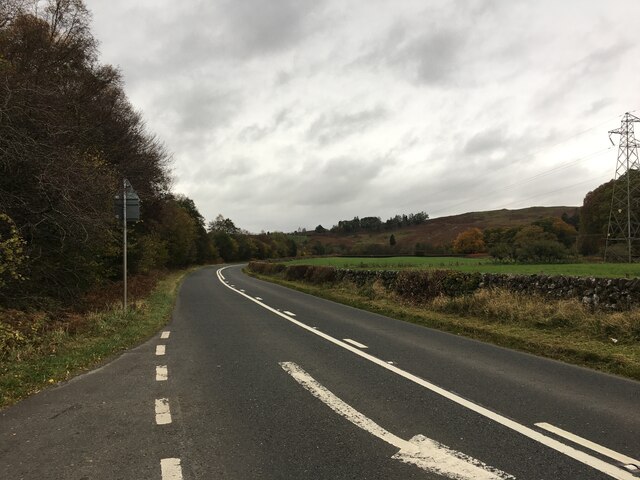
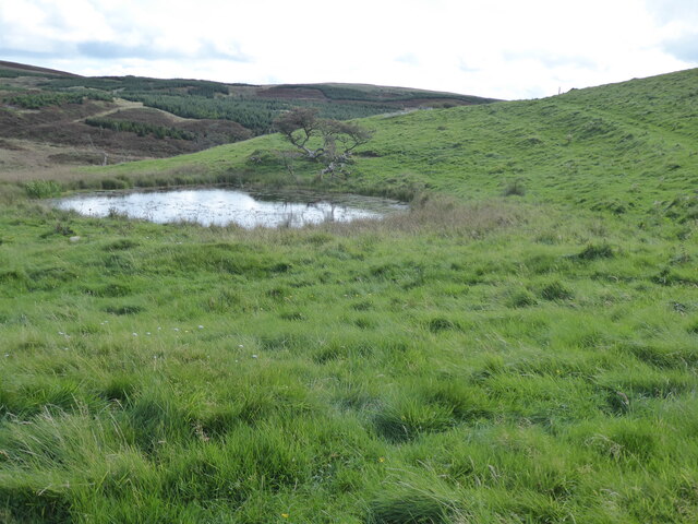
Barlaes Plantation is a picturesque woodland area located in Kirkcudbrightshire, Scotland. This plantation covers a vast area of land and is characterized by a diverse range of tree species, including oak, beech, and birch. The forest is known for its lush greenery, providing a tranquil and serene environment for visitors to explore and enjoy nature.

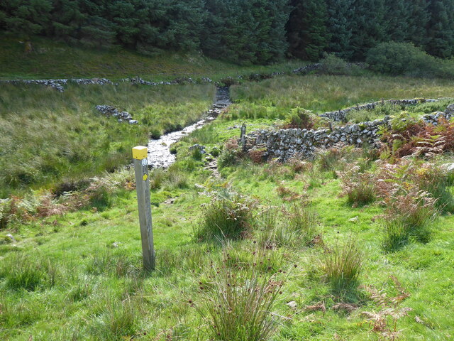
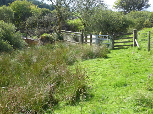
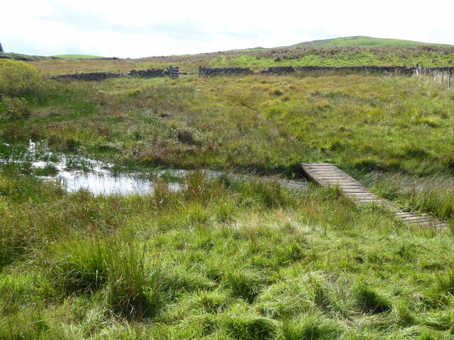
The woodland is home to a variety of wildlife, including deer, birds, and small mammals, making it a popular spot for birdwatching and wildlife enthusiasts. The plantation also boasts a network of walking trails that wind through the trees, allowing visitors to immerse themselves in the beauty of the natural surroundings.

Barlaes Plantation is a popular destination for outdoor activities such as hiking, picnicking, and photography. The forest is well-maintained and offers a peaceful retreat for those looking to escape the hustle and bustle of everyday life. Whether you are a nature lover, a hiker, or simply looking for a quiet place to relax, Barlaes Plantation is a must-visit destination in Kirkcudbrightshire.

If you have any feedback on the listing, please let us know in the comments section below.

Barlaes Plantation Images

Images are sourced within 2km of 55.139558/-4.1597221 or Grid Reference NX6284. Thanks to Geograph Open Source API. All images are credited.

Forest edge, Corseglass As is often the case with woodland edges, there was quite a lot of birdlife about.
Forest edge, Corseglass
As is often the case with woodland edges, there was quite a lot of birdlife about.
Moving plant, Corseglass Minor roads in Galloway often have a lot of heavy vehicles moving on them, usually related to the forestry industry. There were trucks on the move before 6am here today.
Moving plant, Corseglass
Minor roads in Galloway often have a lot of heavy vehicles moving on them, usually related to the forestry industry. There were trucks on the move before 6am here today.
Road from Lochinvar and Corseglass
Rough grazing, Corseglass Waterlogged and tussocky.  Typical upland Galloway terrain and usually ending up under conifers. Grazed by sheep and cattle.
Rough grazing, Corseglass
Waterlogged and tussocky. Typical upland Galloway terrain and usually ending up under conifers. Grazed by sheep and cattle.
Road to Cuckoostone A minor road in Galloway
Road to Cuckoostone
A minor road in Galloway
Road from Lochinvar, Mackilston
Rough grazing, Barlaes Hill
Rough grazing, Mackilston
A713 towards Castle Douglas
The Southern Upland Way near Earlstoun Burn
The Southern Upland Way near Brown Rig
The Glenkens from the air On the Southern Upland Way. This <span class="nowrap"><a title="http://www.theglenkens.org.uk/" rel="nofollow ugc noopener" href="http://www.theglenkens.org.uk/">Link</a><img style="margin-left:2px;" alt="External link" title="External link - shift click to open in new window" src="https://s1.geograph.org.uk/img/external.png" width="10" height="10"/></span> reveals all.
The Glenkens from the air
On the Southern Upland Way. This LinkExternal link reveals all.
Ruin of Corseglass School
Cattle grazing at Earlstoun
Earlstoun Loch
Earlstoun Loch
Scrubland near White Hill
Show me another place!

Barlaes Plantation is located at Grid Ref: NX6284 (Lat: 55.139558, Lng: -4.1597221)

Unitary Authority: Dumfries and Galloway

Police Authority: Dumfries and Galloway

What 3 Words

///teach.ship.hazel. Near Bellsbank, East Ayrshire

Nearby Locations

Barlaes Plantation

Related Wikis

Earlstoun Castle

Earlstoun Castle, sometimes spelled Earlston Castle, is a derelict tower house near St John's Town of Dalry in Dumfries and Galloway, Scotland. Built in...

Polharrow Burn

Polharrow Burn is a small watercourse in Dumfries and Galloway, Scotland, in the historic county of Kirkcudbrightshire. It rises in Loch Harrow and flows...

Lochinvar

Lochinvar (or Lan Var) is a loch in the civil parish of Dalry in the historic county of Kirkcudbrightshire, Dumfries and Galloway Scotland. It is located...

St John's Town of Dalry

St John's Town of Dalry (Scottish Gaelic: Clachan Eòin), usually referred to simply as Dalry (/dæl'raɪ/ / 'dal-RYE'), is a village in Dumfries and Galloway...

Nearby Amenities

Located within 500m of 55.139558,-4.1597221
Power: pole
Lat/Long: 55.1368609/-4.1535026
Power: pole
Lat/Long: 55.1373394/-4.1529949
Ford: yes
Lat/Long: 55.1368712/-4.1637241
Barrier: cattle_grid
Lat/Long: 55.1366887/-4.1645824
The data included in this document is from www.openstreetmap.org. The data is made available under ODbL.

Have you been to Barlaes Plantation?

Leave your review of Barlaes Plantation below (or comments, questions and feedback).