Finniescroft Wood

Wood, Forest in Stirlingshire

Scotland

Finniescroft Wood

Small hill behind Upper Carleston 110m spot height behind the farm.
Small hill behind Upper Carleston Credit: Stephen Sweeney

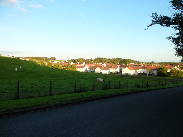
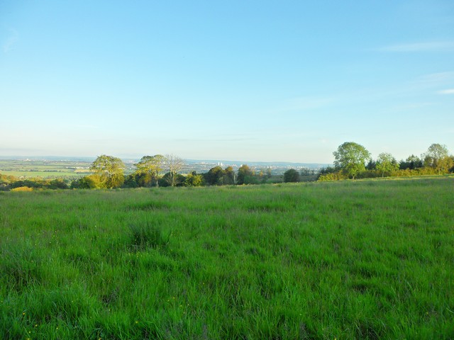
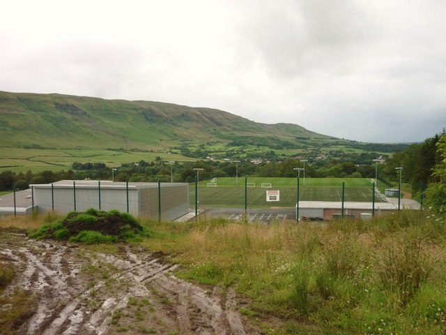
Finniescroft Wood is a picturesque forest located in Stirlingshire, Scotland. Covering an area of approximately 50 hectares, it is a popular destination for nature enthusiasts and outdoor lovers.

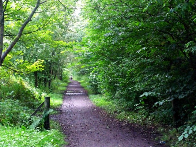
The wood is predominantly made up of broadleaf trees, including oak, beech, and birch, which create a vibrant and diverse ecosystem. The dense canopy provides a cool and shaded environment, making it a perfect spot for a leisurely walk or a picnic on a sunny day.

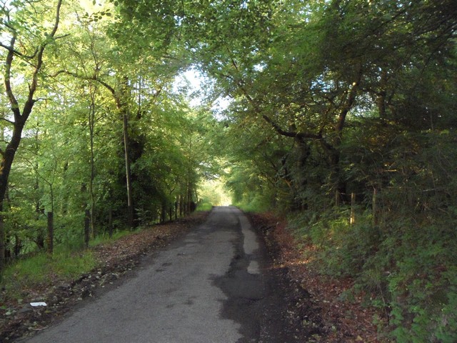
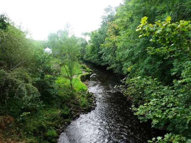
The wood is intersected by several well-maintained trails, allowing visitors to explore its beauty at their own pace. These pathways wind through the forest, passing by tranquil streams, small ponds, and open glades filled with wildflowers. Along the way, visitors may encounter a variety of wildlife, including squirrels, birds, and occasional deer.

Finniescroft Wood is also home to a rich array of plant species, with an impressive display of bluebells in the spring and a vibrant carpet of autumnal foliage in the fall. The forest is carefully managed to preserve its natural beauty, with regular monitoring of tree health and controlled thinning of certain areas.

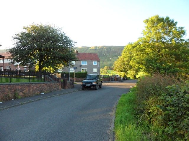
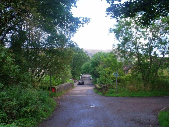
The wood is easily accessible, with a car park located nearby and clear signposting from the main road. It is a wonderful place to escape the hustle and bustle of daily life and immerse oneself in the tranquility of nature. Whether you are a nature lover, a photographer, or simply seeking a peaceful retreat, Finniescroft Wood offers a serene and enchanting experience for all.

If you have any feedback on the listing, please let us know in the comments section below.

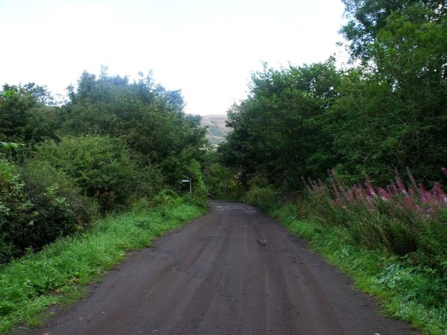
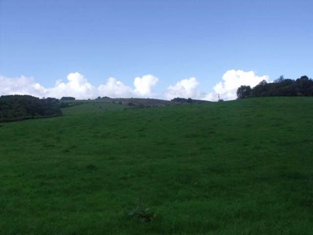
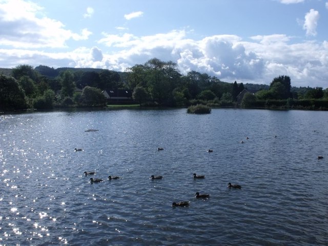
Finniescroft Wood Images

Images are sourced within 2km of 55.965067/-4.2071472 or Grid Reference NS6276. Thanks to Geograph Open Source API. All images are credited.

Small hill behind Upper Carleston 110m spot height behind the farm.
Small hill behind Upper Carleston
110m spot height behind the farm.
Rolling hills in East Dunbartonshire Opposite Redmoss Farm Road.
Rolling hills in East Dunbartonshire
Opposite Redmoss Farm Road.
North edge of Lennoxtown Seen from North Birbiston Road.
North edge of Lennoxtown
Seen from North Birbiston Road.
Bencloich Crescent, Lennoxtown Stunningly set beneath the Campsie Fells.
Bencloich Crescent, Lennoxtown
Stunningly set beneath the Campsie Fells.
Public path behind Lennoxtown A lot of work going on around here - I think it may be a new housing development.
Public path behind Lennoxtown
A lot of work going on around here - I think it may be a new housing development.
North Birbiston Road, Lennoxtown
Road to Lennoxtown Just east of Muirhead Farm.
Road to Lennoxtown
Just east of Muirhead Farm.
Field west of Muirhead Farm Overlooking Glasgow.
Field west of Muirhead Farm
Overlooking Glasgow.
Approaching Lennoxtown on the B822 From the south.
Approaching Lennoxtown on the B822
From the south.
South Gate Lodge, Lennox Castle Hospital
Looking northeast from track to Lennox Castle A splendid view over Celtic F.C.'s training facility and beyond.
Looking northeast from track to Lennox Castle
A splendid view over Celtic F.C.'s training facility and beyond.
Lennoxtown, Glazert Water
Lennoxtown, path to Milton of Campsie Follows the old track of the LNER railway which connected Kirkintilloch with the near north.
Lennoxtown, path to Milton of Campsie
Follows the old track of the LNER railway which connected Kirkintilloch with the near north.
Lennoxtown, road, paths and bridge The path from Strathblane to Kirkintilloch crosses the scene and the bridge over the Glazert leads into the town via Chestnut Walk seen in the distance.
Lennoxtown, road, paths and bridge
The path from Strathblane to Kirkintilloch crosses the scene and the bridge over the Glazert leads into the town via Chestnut Walk seen in the distance.
Lennoxtown, road from Finniescroft Wood
Lennoxtown, South Brae View towards the South Brae area.
Lennoxtown, South Brae
View towards the South Brae area.
Lennoxtown, Crosshill Street A George VI letter box for the Geograph collection of such things.
Lennoxtown, Crosshill Street
A George VI letter box for the Geograph collection of such things.
Lennoxtown, Whitefield Dam Dug out and formed in the early nineteenth century to store water for the Lennox Mill Printworks. 
The pond is fed from a series of drains coming off the Campsies which eventually are channelled into a small canal which enters the pond from the north. The overflow leaves by a weir situated at the north east corner.
Lennoxtown, Whitefield Dam
Dug out and formed in the early nineteenth century to store water for the Lennox Mill Printworks. The pond is fed from a series of drains coming off the Campsies which eventually are channelled into a small canal which enters the pond from the north. The overflow leaves by a weir situated at the north east corner.
Show me another place!

Finniescroft Wood is located at Grid Ref: NS6276 (Lat: 55.965067, Lng: -4.2071472)

Unitary Authority: East Dunbartonshire

Police Authority: Greater Glasgow

What 3 Words

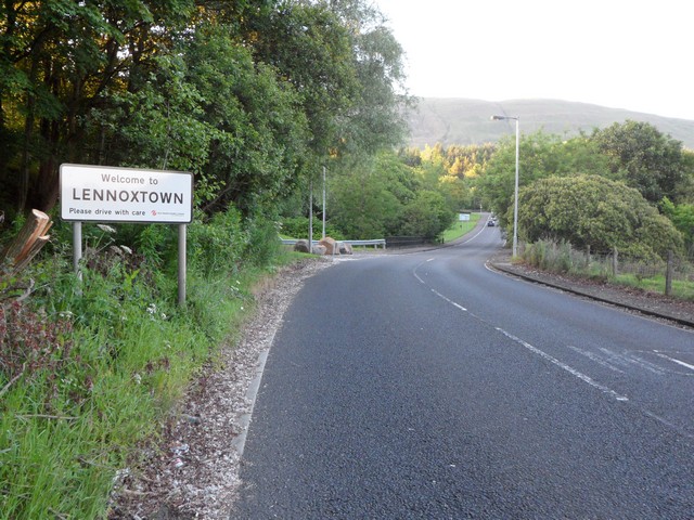
///ritual.fully.outwards. Near Lennoxtown, East Dunbartonshire

Nearby Locations

Finniescroft Wood

Related Wikis

Lennoxtown (New) railway station

Lennoxtown railway station served the town of Lennoxtown, Dunbartonshire, Scotland from 1867 to 1951 on the Blane Valley Railway. == History == The station...

Lennoxtown

Lennoxtown (Scottish Gaelic: Baile na Leamhnachd, pronounced [ˈpalə nə ˈʎãũnəxk]) is a town in the East Dunbartonshire council area and the historic county...

The Lennox

The Lennox (Scottish Gaelic: Leamhnachd, pronounced [ˈʎãũnəxk]) is a region of Scotland centred on The Vale of Leven, including its great loch: Loch Lomond...

Lennoxtown (Old) railway station

Lennoxtown railway station served the town of Lennoxtown, Dunbartonshire, Scotland from 1848 to 1881 on the Blane Valley Railway. == History == The station...

Nearby Amenities

Located within 500m of 55.965067,-4.2071472
Information: guidepost
Tourism: information
Lat/Long: 55.9662999/-4.2097889
Information: guidepost
Tourism: information
Lat/Long: 55.9635784/-4.2145173
Power: pole
Lat/Long: 55.9652988/-4.2099171
Power: pole
Lat/Long: 55.9649019/-4.211319
Power: pole
Lat/Long: 55.9646749/-4.212353
Power: pole
Lat/Long: 55.9644275/-4.2135851
Power: pole
Lat/Long: 55.9644181/-4.2146475
Power: pole
Lat/Long: 55.967435/-4.2006397
Power: pole
Lat/Long: 55.9666141/-4.2005727
Power: pole
Lat/Long: 55.9658108/-4.2004909
Power: pole
Lat/Long: 55.9648596/-4.2004386
Power: pole
Lat/Long: 55.964095/-4.2003631
Power: pole
Lat/Long: 55.9630805/-4.2003065
The data included in this document is from www.openstreetmap.org. The data is made available under ODbL.

Have you been to Finniescroft Wood?

Leave your review of Finniescroft Wood below (or comments, questions and feedback).