Balameanoch Woods

Wood, Forest in Perthshire

Scotland

Balameanoch Woods

Tesco Express, Callander
Tesco Express, Callander Credit: Steven Brown

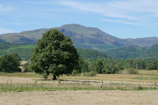
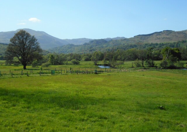
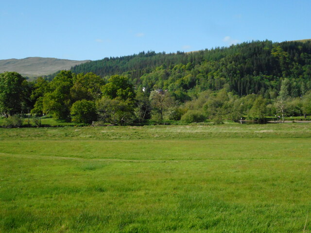
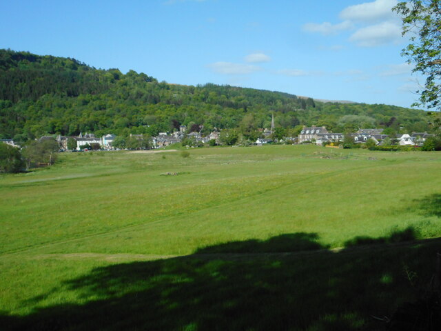
Balameanoch Woods is a captivating forest located in Perthshire, Scotland. Spanning over a vast area, this woodland is a haven for nature enthusiasts and those seeking tranquility amidst the lush greenery. The woods are situated on the eastern slopes of the Ochil Hills, offering breathtaking views of the surrounding countryside.

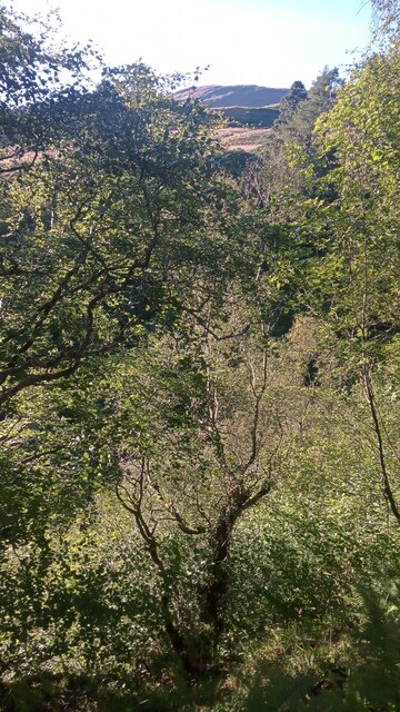
The forest is predominantly composed of native Scottish trees, including oak, birch, and rowan, creating a diverse and vibrant ecosystem. Its rich biodiversity attracts a myriad of wildlife, making it a prime spot for birdwatching and animal spotting. Visitors may have the chance to encounter red squirrels, roe deer, and a variety of bird species.

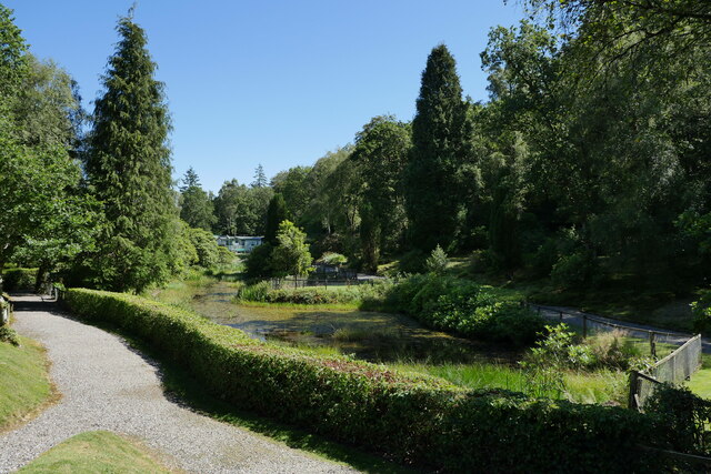
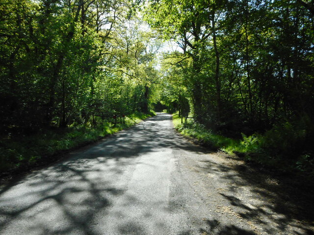
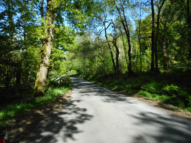
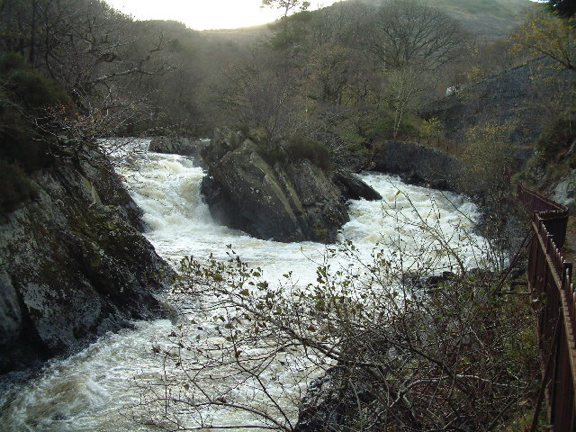
Balameanoch Woods offers a network of well-maintained trails, making it an ideal destination for walkers, hikers, and nature lovers of all abilities. These paths meander through the forest, leading adventurers past babbling brooks, ancient ruins, and hidden waterfalls. The peaceful atmosphere and enchanting beauty of the woodland provide an idyllic setting for a leisurely stroll or a picnic with family and friends.

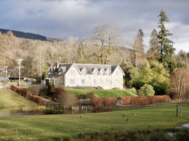
In addition to its natural wonders, Balameanoch Woods boasts a rich history. Ruins of an old castle can be found nestled within its depths, providing a glimpse into the area's past. Visitors can explore these remnants and imagine the stories they hold.

Overall, Balameanoch Woods is a captivating destination that offers a perfect blend of natural beauty, wildlife, and historical intrigue. It is an enchanting place where visitors can immerse themselves in the wonders of nature and create lasting memories.

If you have any feedback on the listing, please let us know in the comments section below.

Balameanoch Woods Images

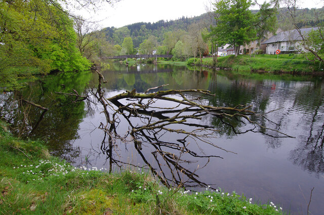
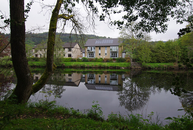
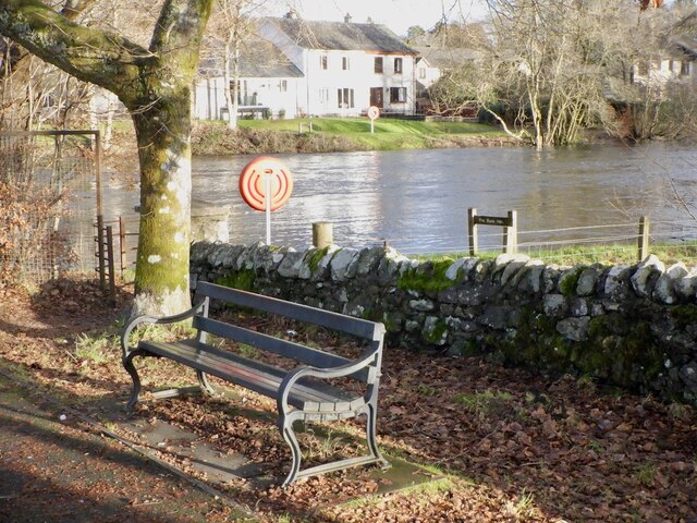
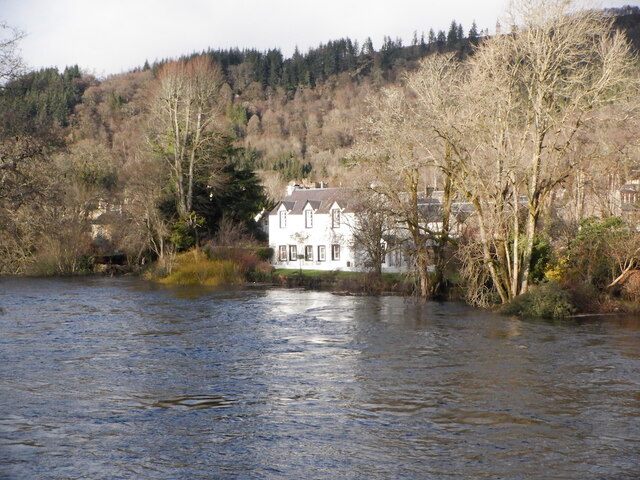
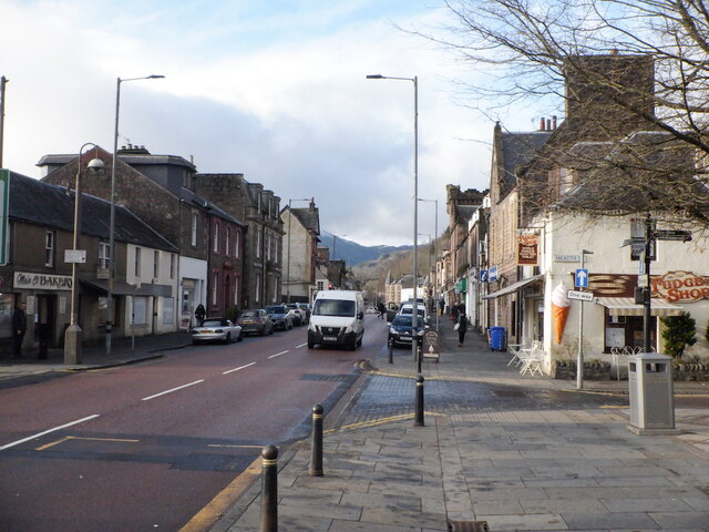
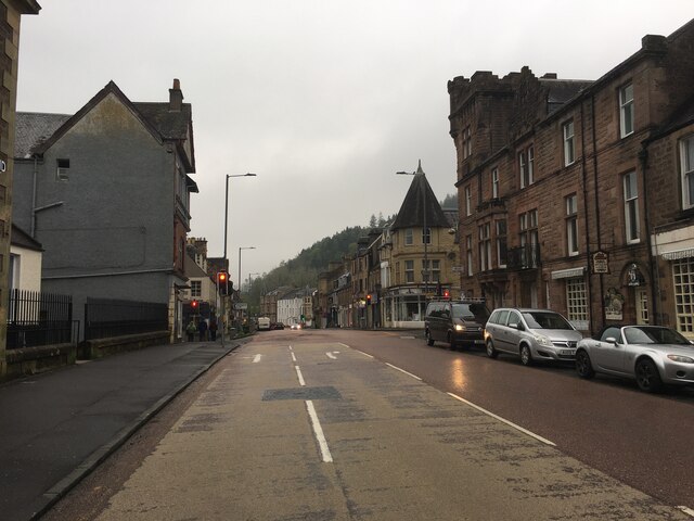
Images are sourced within 2km of 56.253626/-4.2280271 or Grid Reference NN6209. Thanks to Geograph Open Source API. All images are credited.

Tesco Express, Callander
River Teith, Callander Looking upstream to the footbridge. Fishermen call this the black hole, but it's taking time to absorb the fallen tree.
River Teith, Callander
Looking upstream to the footbridge. Fishermen call this the black hole, but it's taking time to absorb the fallen tree.
River Teith, Callander Looking across to modern housing on Buchanan Place.
River Teith, Callander
Looking across to modern housing on Buchanan Place.
Roadworks on the A84 approaching Callander
Making hay whilst the sun shines Hay fields by the Eas Gobhain at Callander, with the backdrop of Ben Ledi.

This photograph was taken during the Coronavirus (COVID-19) pandemic of 2020/21/22.
Making hay whilst the sun shines
Hay fields by the Eas Gobhain at Callander, with the backdrop of Ben Ledi. This photograph was taken during the Coronavirus (COVID-19) pandemic of 2020/21/22.
The pond in Callander Holiday Park There have been quite a few changes in the site since I holidayed there 30 years previously.  The pond still remains, with grounds more neatly manicured now.

This photograph was taken during the Coronavirus (COVID-19) pandemic of 2020/21/22.
The pond in Callander Holiday Park
There have been quite a few changes in the site since I holidayed there 30 years previously. The pond still remains, with grounds more neatly manicured now. This photograph was taken during the Coronavirus (COVID-19) pandemic of 2020/21/22.
Above Eas Dearg The South bank of Eas Dearg - which roughly translates from the Gaelic as 'fast-flowing red burn', although I didn't notice the water colour being anything unusual - is extremely steep. Had I known it was quite so steep I wouldn't have made the  heart-racing climb to the top, but fallen trees and very bushy bushes put paid to my original plan of following the course of the burn to the main road below, and it always looked a bit easier to make my way through increasingly higher ground...until it got a bit dangerous - but at a certain point, there is no going back!
And there is always a certain high when getting to the top of such a climb - having had to test out shrub trunks' ability to take your weight for a good while, whilst always trying not to look down - with your body pretty much intact. That will do for this year's adrenaline excitement I think!
Above Eas Dearg
The South bank of Eas Dearg - which roughly translates from the Gaelic as 'fast-flowing red burn', although I didn't notice the water colour being anything unusual - is extremely steep. Had I known it was quite so steep I wouldn't have made the heart-racing climb to the top, but fallen trees and very bushy bushes put paid to my original plan of following the course of the burn to the main road below, and it always looked a bit easier to make my way through increasingly higher ground...until it got a bit dangerous - but at a certain point, there is no going back! And there is always a certain high when getting to the top of such a climb - having had to test out shrub trunks' ability to take your weight for a good while, whilst always trying not to look down - with your body pretty much intact. That will do for this year's adrenaline excitement I think!
Churchfields, Callander
The Black Hole Beat on the Teith, Callander
The Black Hole
Beat on the Teith, Callander
River Teith, Callander
Main Street, Callander Taken while waiting for a bus.
Main Street, Callander
Taken while waiting for a bus.
The Well of the Cailleach Cailleach = old woman or, sometimes, hag.  This well has been cleaned up and given new steps and a plaque quite recently.
The Well of the Cailleach
Cailleach = old woman or, sometimes, hag. This well has been cleaned up and given new steps and a plaque quite recently.
A84 in Callander
A84 in Callander
Minor road to Gartchonzie From Callander.
Minor road to Gartchonzie
From Callander.
Minor road to Callander From Gartchonzie.
Minor road to Callander
From Gartchonzie.
Eas Gobhain The river meanders slightly just before being joined by the Garbh Uisge, just out of view to the right.
Eas Gobhain
The river meanders slightly just before being joined by the Garbh Uisge, just out of view to the right.
Hidden confluence The Eas Gobhain is joined by the Garbh Uisge (just visible on the right).
Hidden confluence
The Eas Gobhain is joined by the Garbh Uisge (just visible on the right).
View towards Callander With the Eas Gobhain flowing through the left centre of the view.
View towards Callander
With the Eas Gobhain flowing through the left centre of the view.
Show me another place!

Balameanoch Woods is located at Grid Ref: NN6209 (Lat: 56.253626, Lng: -4.2280271)

Unitary Authority: Stirling

Police Authority: Forth Valley

What 3 Words

///skipped.revival.mush. Near Callander, Stirling

Nearby Locations

Balameanoch Woods

Related Wikis

Callander railway station

Callander was a railway station located in Callander, in the council area of Stirling, Scotland. == History == The first station at Callander was a terminus...

Garbh Uisge

Garbh Uisge is a river of approximately 7 km in the Trossachs of Scotland just north-west Callander. It is the outflow of Loch Lubnaig and joins with Eas...

Kilmahog

Kilmahog (Scottish Gaelic: Cille MoChùig: Cell of St. Chug) is a hamlet situated half a mile to the west of Callander, Scotland. == Toponym == Kilmahog...

Callander Jazz and Blues Festival

TheCallander Jazz and Blues Festival is a music festival held in the town of Callander in Loch Lomond and the Trossachs National Park, Scotland. It was...

Nearby Amenities

Located within 500m of 56.253626,-4.2280271
Power: pole
Lat/Long: 56.2505559/-4.233843
Power: pole
Lat/Long: 56.2501271/-4.2330419
The data included in this document is from www.openstreetmap.org. The data is made available under ODbL.

Have you been to Balameanoch Woods?

Leave your review of Balameanoch Woods below (or comments, questions and feedback).