Avenue Plantation

Wood, Forest in Ross-shire

Scotland

Avenue Plantation

Cattle Grazing Fields at Glackmore
Cattle Grazing Credit: Dave Fergusson

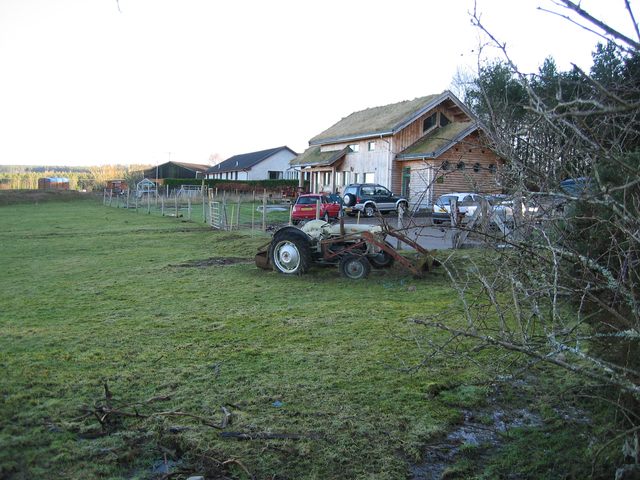
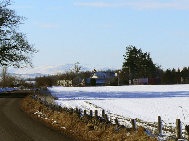
Avenue Plantation, located in Ross-shire, Scotland, is a picturesque woodland area known for its natural beauty and diverse plant life. Stretching over an area of approximately 100 acres, this plantation offers a tranquil escape for nature enthusiasts and outdoor lovers.

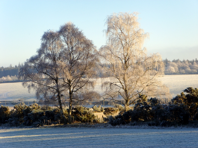
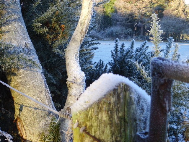
The plantation is primarily composed of a mix of deciduous and coniferous trees, creating a varied and vibrant landscape. Oak, birch, and beech trees dominate the area, providing a lush green canopy that changes with the seasons. The forest floor is covered in a carpet of moss, ferns, and wildflowers, adding to the enchanting ambiance of the plantation.

Avenue Plantation is home to a rich and diverse wildlife population. Birdwatchers can spot various species of birds, including woodpeckers, owls, and thrushes, while small mammals like squirrels, rabbits, and badgers can also be seen scurrying through the undergrowth. In the summer months, the air is filled with the melodious songs of songbirds, creating a soothing and harmonious atmosphere.

Visitors to Avenue Plantation can explore the area through a network of well-maintained footpaths and trails. These paths wind their way through the woods, offering breathtaking views of the surrounding countryside. The plantation also features picnic areas, allowing visitors to relax and soak in the natural beauty while enjoying a packed lunch.

Whether it's for a leisurely stroll, birdwatching, or a family picnic, Avenue Plantation in Ross-shire offers a peaceful and idyllic setting for nature lovers to connect with the great outdoors.

If you have any feedback on the listing, please let us know in the comments section below.

Avenue Plantation Images

Images are sourced within 2km of 57.535858/-4.3083356 or Grid Reference NH6151. Thanks to Geograph Open Source API. All images are credited.

Cattle Grazing Fields at Glackmore
Cattle Grazing
Fields at Glackmore
Glackmore Farm In the district of Glackmore
Glackmore Farm
In the district of Glackmore
Looking Westward to the Tore roundabout.
Mains of Tore A major and prosperous looking farm northeast of Tore village.
Mains of Tore
A major and prosperous looking farm northeast of Tore village.
Teanahuig A secluded house on the edge of the wood of the same name.
Teanahuig
A secluded house on the edge of the wood of the same name.
Allangrange All that remains of a 13th century church.
Allangrange
All that remains of a 13th century church.
Forestry at Broomhill A small area of forest recovering from being cleared, probably a few years ago. A few tall trees have been left behind and the ground is returning to its natural state among the stumps of the felled trees.
Forestry at Broomhill
A small area of forest recovering from being cleared, probably a few years ago. A few tall trees have been left behind and the ground is returning to its natural state among the stumps of the felled trees.
Stubble A field of stubble next to the A9, which runs in the trees on the far side.
Stubble
A field of stubble next to the A9, which runs in the trees on the far side.
Barn at Cotterton Used today as a shelter for horses.
Barn at Cotterton
Used today as a shelter for horses.
Glachbeg Croft Glachbeg Croft is an education centre that is part of a six hectare croft on the Black Isle. It offers community events, training for adults with special needs and programmes around farming, the countryside and environmental education. Note the turf roof.
Glachbeg Croft
Glachbeg Croft is an education centre that is part of a six hectare croft on the Black Isle. It offers community events, training for adults with special needs and programmes around farming, the countryside and environmental education. Note the turf roof.
Road building at Cotterton A substantial foundation being put in place to improve the track that runs from here at Cotterton through the forest to Littleburn.
Road building at Cotterton
A substantial foundation being put in place to improve the track that runs from here at Cotterton through the forest to Littleburn.
Drumore Farm East of the village of Munlochy.
Drumore Farm
East of the village of Munlochy.
Black Isle Brewery Small organic brewery southeast of Munlochy village.
Black Isle Brewery
Small organic brewery southeast of Munlochy village.
House near the Black Isle Brewery One half (the nearest) is in NH6251, while the other is in NH6351.
House near the Black Isle Brewery
One half (the nearest) is in NH6251, while the other is in NH6351.
Black Isle Brewery Opened in 1998 at Old Allangrange, Black Isle.
Black Isle Brewery
Opened in 1998 at Old Allangrange, Black Isle.
Near Glachbeg, on a frosty morning.
Frosty corner, Glachbeg
Forestry track through Gallowhill Wood This track ends abruptly, but enterprising walkers have created a way to link up with another forestry track to create a circular walk from Arpafeelie to Redcastle.
Forestry track through Gallowhill Wood
This track ends abruptly, but enterprising walkers have created a way to link up with another forestry track to create a circular walk from Arpafeelie to Redcastle.
Show me another place!

Avenue Plantation is located at Grid Ref: NH6151 (Lat: 57.535858, Lng: -4.3083356)

Unitary Authority: Highland

Police Authority: Highlands and Islands

What 3 Words

///loafer.trifling.unspoiled. Near Inverness, Highland

Nearby Locations

Avenue Plantation

Related Wikis

Allangrange railway station

Allangrange railway station was a station on the single track branch of the Highland Railway, in north east Scotland. The line connected villages in The...

Tore, Scotland

Tore (Scottish Gaelic: An Todhar) is a small village on the Black Isle, in Ross and Cromarty, Highland, Scotland. == Settlements == It is located 7 miles...

Arpafeelie

Arpafeelie (Scottish Gaelic: Arpa Phìlidh) is a hamlet on the Black Isle, in Ross and Cromarty, in the Highland council area of Scotland. It is situated...

Knockbain

Knockbain is a parish on the Black Isle, in the county of Ross and Cromarty in Highland council area, Scotland. It includes the villages of North Kessock...

Nearby Amenities

Located within 500m of 57.535858,-4.3083356
Black Isle Brewery
Addr City: Black Isle
Addr Postcode: IV8 8NZ
Building: brewery
Craft: brewery
Real Ale: yes
Source: survey
Tourism: attraction
Website: https://www.blackislebrewery.com/
Lat/Long: 57.5325781/-4.3027004
Power: pole
Lat/Long: 57.5317064/-4.3081404
Power: pole
Lat/Long: 57.5323861/-4.3090292
Power: pole
Lat/Long: 57.533044/-4.3098855
Power: pole
Lat/Long: 57.5337042/-4.3107135
Power: pole
Lat/Long: 57.5344035/-4.3116104
Power: pole
Lat/Long: 57.534983/-4.3123733
Power: pole
Lat/Long: 57.5355646/-4.3133575
Power: pole
Lat/Long: 57.5360831/-4.3142098
Power: pole
Lat/Long: 57.5366429/-4.3151635
Power: pole
Lat/Long: 57.5372594/-4.3159792
Power: pole
Lat/Long: 57.5355396/-4.3160746
Power: pole
Lat/Long: 57.536094/-4.3143457
Power: pole
Lat/Long: 57.5364643/-4.3134062
Power: pole
Lat/Long: 57.5367568/-4.3124849
Power: pole
Lat/Long: 57.5376281/-4.3098044
Power: pole
Lat/Long: 57.5379189/-4.3089014
Power: pole
Lat/Long: 57.5381901/-4.3078888
Power: pole
Lat/Long: 57.5384384/-4.3069777
Power: pole
Lat/Long: 57.5386955/-4.306024
Power: pole
Lat/Long: 57.5389394/-4.3051047
Power: pole
Lat/Long: 57.5392128/-4.3041104
Power: pole
Lat/Long: 57.5385092/-4.3063101
Power: pole
Lat/Long: 57.5385528/-4.3055897
Power: pole
Lat/Long: 57.5347609/-4.3008688
Power: pole
Lat/Long: 57.5351832/-4.3018121
Power: pole
Lat/Long: 57.5356203/-4.3028104
Power: pole
Lat/Long: 57.5360858/-4.303722
Power: pole
Lat/Long: 57.5364695/-4.3044707
Power: pole
Lat/Long: 57.5368964/-4.3053357
Power: pole
Lat/Long: 57.5373232/-4.306169
Power: pole
Lat/Long: 57.5377569/-4.3070256
The data included in this document is from www.openstreetmap.org. The data is made available under ODbL.

Have you been to Avenue Plantation?

Leave your review of Avenue Plantation below (or comments, questions and feedback).