Ballangrew Wood

Wood, Forest in Perthshire

Scotland

Ballangrew Wood

Road near Ballangrew
Road near Ballangrew Credit: Alex McGregor

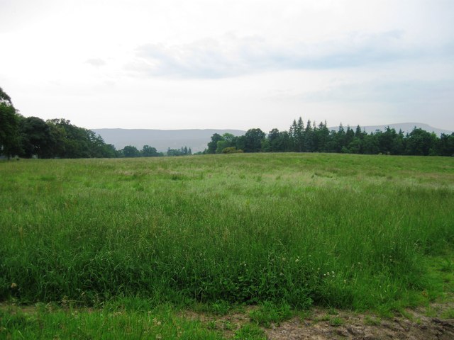
Ballangrew Wood is a picturesque forest located in Perthshire, Scotland. Spanning approximately 500 acres, this woodland is renowned for its natural beauty and diverse ecosystem. The forest is situated near the village of Ballangrew, hence the name, and is easily accessible to visitors from nearby towns and cities.

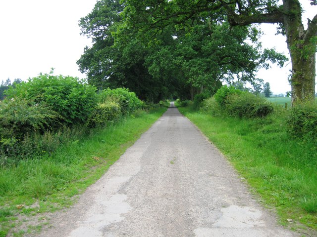
Ballangrew Wood is characterized by its dense canopy of towering trees, predominantly consisting of oak, beech, and birch. The forest floor is covered in a rich carpet of mosses, ferns, and wildflowers, creating a vibrant and enchanting atmosphere. The wood is also home to a variety of wildlife, including red squirrels, deer, and a vast array of bird species.

There are several well-maintained trails that wind through the wood, offering visitors the opportunity to explore its natural wonders. These paths are suitable for both leisurely strolls and more adventurous hikes, catering to all levels of fitness and ability. Along the way, there are informative signposts that provide details about the different tree species and wildlife that can be found in the area.

Ballangrew Wood is a popular destination for nature lovers, hikers, and photographers who seek tranquility and stunning scenery. The forest's location in Perthshire, known as the "Gateway to the Highlands," adds to its appeal, as it is surrounded by breathtaking landscapes and other outdoor attractions.

Overall, Ballangrew Wood offers a peaceful and immersive experience in the heart of Perthshire's natural beauty, making it a must-visit destination for those seeking a connection with nature.

If you have any feedback on the listing, please let us know in the comments section below.

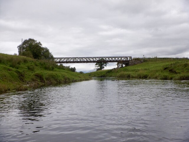
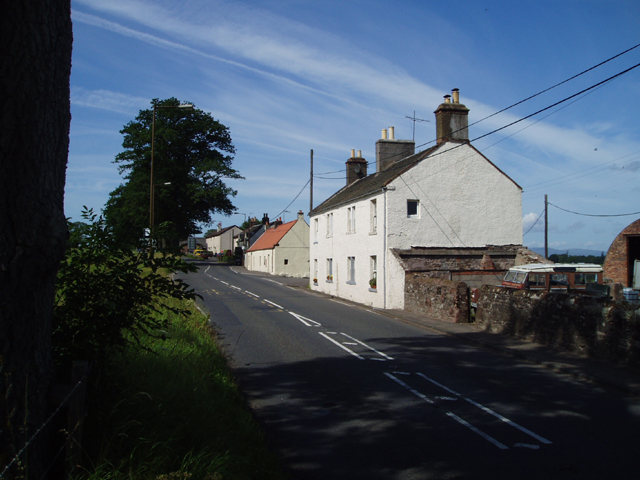
Ballangrew Wood Images

Images are sourced within 2km of 56.156546/-4.2256873 or Grid Reference NS6198. Thanks to Geograph Open Source API. All images are credited.

Road near Ballangrew
Field near Ballangrew
Ballangrew
Ballangrew
The Forth Near Faraway The River Forth captured in a view looking upstream near the confluence with the Garden Burn, opposite Faraway.
The Forth Near Faraway
The River Forth captured in a view looking upstream near the confluence with the Garden Burn, opposite Faraway.
Fodder In The Floodplain Grass for fodder being grown in the Forth floodplain near Arnprior.  Station Wood can be noted in the distance.
Fodder In The Floodplain
Grass for fodder being grown in the Forth floodplain near Arnprior. Station Wood can be noted in the distance.
The Garden Burn The burn is pictured in a senescent stage near its confluence with the River Forth.
The Garden Burn
The burn is pictured in a senescent stage near its confluence with the River Forth.
River Forth, Cardross Parkland on the north, Perthshire, side of the river.
River Forth, Cardross
Parkland on the north, Perthshire, side of the river.
River Forth, Cardross Upstream view. I was being watched by cattle on the north bank.
River Forth, Cardross
Upstream view. I was being watched by cattle on the north bank.
River Forth, opposite Faraway The river has a canalised feel, no shallow riffles and steep banks. It was used to carry the peat away when Flanders Moss was cleared for agriculture. Every now and then there is a view of surrounding hills.
River Forth, opposite Faraway
The river has a canalised feel, no shallow riffles and steep banks. It was used to carry the peat away when Flanders Moss was cleared for agriculture. Every now and then there is a view of surrounding hills.
Banks of the Forth, Faraway The Forth is infested and I had to look for a safe place to get out beforehand.
Banks of the Forth, Faraway
The Forth is infested and I had to look for a safe place to get out beforehand.
Banks of the Forth, Faraway A stretch that is grazed and free of giant hogweed.
Banks of the Forth, Faraway
A stretch that is grazed and free of giant hogweed.
Faraway from the river Buildings in the sparsely populated Flanders Moss.
Faraway from the river
Buildings in the sparsely populated Flanders Moss.
River Forth passing Faraway A farm carved out of the peat of Flanders Moss. The peat was floated down the river. Today the water was very peat stained after heavy rain.
River Forth passing Faraway
A farm carved out of the peat of Flanders Moss. The peat was floated down the river. Today the water was very peat stained after heavy rain.
Garden Burn meets the Forth A burn draining Arnprior.
Garden Burn meets the Forth
A burn draining Arnprior.
River Forth near Faraway The direction changes but little else - tall banks, uniform flow.
River Forth near Faraway
The direction changes but little else - tall banks, uniform flow.
River Forth Passing what the settlers who cleared the moss on the Perthshire /north bank called Pendicles of Wester Poldar. Now the farm of Wester Flanders.
River Forth
Passing what the settlers who cleared the moss on the Perthshire /north bank called Pendicles of Wester Poldar. Now the farm of Wester Flanders.
Poldar Bridge Crossing the Forth on an old access road to Flanders Moss, now the drive for Faraway and South Flanders. The original bridge was a suspension bridge with a toll.
Poldar Bridge
Crossing the Forth on an old access road to Flanders Moss, now the drive for Faraway and South Flanders. The original bridge was a suspension bridge with a toll.
Show me another place!

Ballangrew Wood is located at Grid Ref: NS6198 (Lat: 56.156546, Lng: -4.2256873)

Unitary Authority: Stirling

Police Authority: Forth Valley

What 3 Words

///memory.hires.lateral. Near Kippen, Stirling

Nearby Locations

Ballangrew Wood

Related Wikis

Flanders Moss

Flanders Moss (Scottish Gaelic: A’ Mhòine Fhlànrasach) is an area of raised bog lying in the Carse of Forth in west Stirlingshire, Scotland. The villages...

Ruskie

Ruskie is a hamlet in Stirling, Scotland. It is located 4.5 kilometres (2+3⁄4 mi) from Thornhill. It lies within the FK postcode area. == About the... ==

Port of Menteith railway station

Port of Menteith railway station served the village of Port of Menteith, Stirling, Scotland, from 1856 by 1934 on the Forth and Clyde Junction Railway...

Ladylands Platform railway station

Ladylands Platform railway station co-served the village of Kippen, Stirling, Scotland, from 1861 to 1934 on the Forth and Clyde Junction Railway. ��2...

Fairfield Siding railway station

Fairfield Siding railway station co-served the village of Kippen, Stirling, Scotland, from 1861 to 1866 on the Forth and Clyde Junction Railway. ��2�...

A811 road

The A811 is a road in central Scotland. It runs from Stirling to Balloch. == Route == The road starts off in the centre of Stirling, at the Craigs Roundabout...

Arnprior, Stirling

Arnprior is a hamlet in the Stirling council area of Scotland on the A811 about 12 miles west of Stirling and is one of the smallest community council...

Boquhapple

Boquhapple is an area in Stirling council area, Scotland near Thornhill. == References ==

Have you been to Ballangrew Wood?

Leave your review of Ballangrew Wood below (or comments, questions and feedback).