Glenwynd Wood
Wood, Forest in Stirlingshire
Scotland
Glenwynd Wood

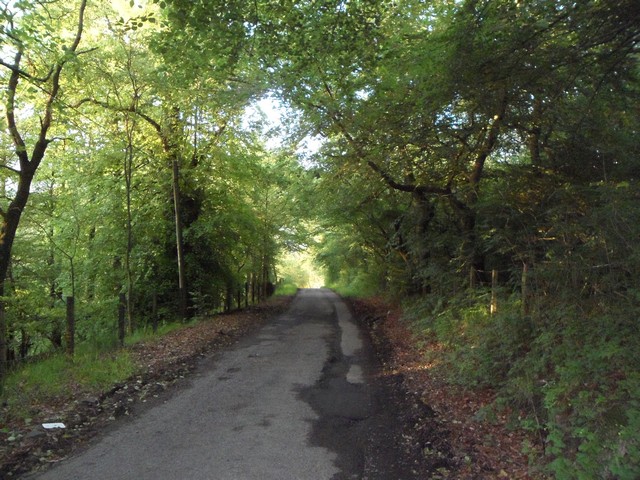
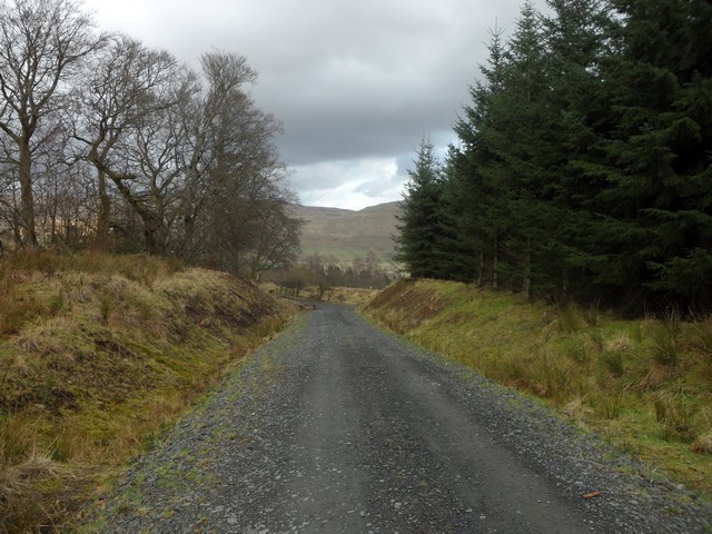
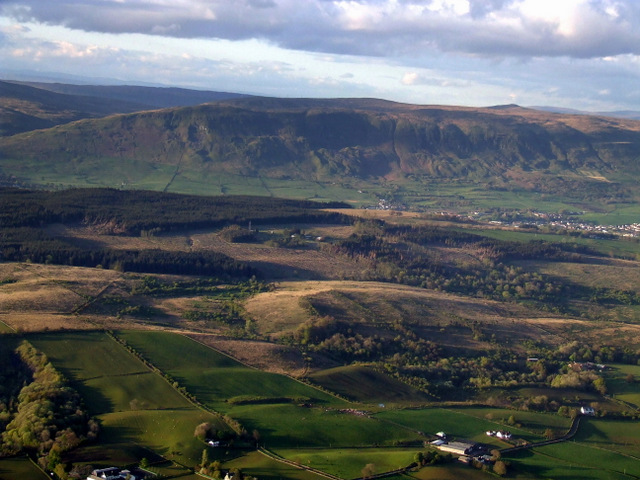
Glenwynd Wood is a picturesque forest located in Stirlingshire, Scotland. Spread over an area of approximately 100 hectares, this woodland is a hidden gem for nature enthusiasts and outdoor adventurers alike.
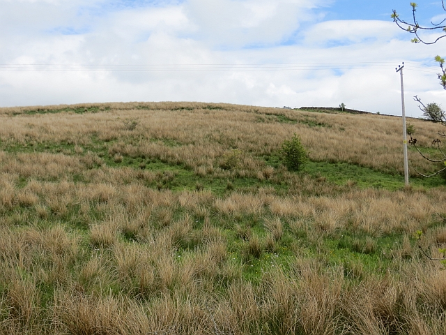
The wood is characterized by its diverse range of tree species, including oak, birch, and Scots pine, which create a rich and vibrant canopy. The forest floor is covered with a lush carpet of ferns, mosses, and wildflowers, adding to its natural beauty. The wood is home to a variety of wildlife, including red squirrels, roe deer, and a plethora of bird species, making it an ideal spot for birdwatching and animal spotting.
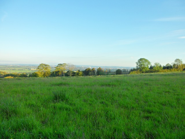
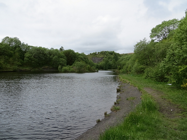
A network of well-maintained walking trails winds through the wood, allowing visitors to explore its many hidden corners. These trails vary in difficulty, catering to both casual strollers and more experienced hikers. Along the way, visitors can enjoy breathtaking views of the surrounding countryside, including rolling hills and meandering streams.
Glenwynd Wood is also known for its historical significance. The remains of an ancient settlement, dating back to the Iron Age, can be found within the woodland. Archaeological enthusiasts can explore these ruins and learn about the area's past.
Overall, Glenwynd Wood offers a tranquil escape from the hustle and bustle of everyday life. Its natural beauty, diverse wildlife, and historical charm make it a must-visit destination for nature lovers and history enthusiasts in Stirlingshire.
If you have any feedback on the listing, please let us know in the comments section below.
Glenwynd Wood Images
Images are sourced within 2km of 55.957469/-4.2288226 or Grid Reference NS6076. Thanks to Geograph Open Source API. All images are credited.


Glenwynd Wood is located at Grid Ref: NS6076 (Lat: 55.957469, Lng: -4.2288226)
Unitary Authority: East Dunbartonshire
Police Authority: Greater Glasgow
What 3 Words
///rots.quench.feared. Near Torrance, East Dunbartonshire
Nearby Locations
Related Wikis

Lennoxtown training centre
Lennoxtown Training Centre is Celtic F.C.'s training centre, located at Lennoxtown, East Dunbartonshire in Scotland. The complex houses the club's training...

Torrance, East Dunbartonshire
Torrance is a relatively affluent village in East Dunbartonshire, formerly Stirlingshire, Scotland, located eight miles (thirteen kilometres) north of...

Torrance railway station
Torrance railway station was opened in 1879 on the Kelvin Valley Railway and served the area of the village of Torrance in East Dunbartonshire until 1951...

Lennox Castle
Lennox Castle is an abandoned castle in Lennoxtown, East Dunbartonshire, Scotland, approximately 12 miles (19 kilometres) north of Glasgow. It is infamous...
Nearby Amenities
Located within 500m of 55.957469,-4.2288226Have you been to Glenwynd Wood?
Leave your review of Glenwynd Wood below (or comments, questions and feedback).