Dail Gheal
Wood, Forest in Ross-shire
Scotland
Dail Gheal

Dail Gheal, located in Ross-shire, Scotland, is a picturesque woodland area renowned for its natural beauty. Covering an expansive area, Dail Gheal is a haven for nature enthusiasts and outdoor adventurers alike.
The woodland is characterized by its dense forests, consisting primarily of native tree species such as Scots pine, birch, and oak. These trees create a lush and vibrant environment, providing a habitat for a diverse range of flora and fauna. Walking through Dail Gheal, visitors can expect to encounter a variety of wildflowers, ferns, and mosses, adding to the area's enchanting atmosphere.
The woodland is crisscrossed with numerous walking trails, allowing visitors to explore its hidden treasures. These trails cater to all levels of fitness and provide opportunities for leisurely strolls or more challenging hikes. Along the way, one may come across babbling brooks and small waterfalls, adding to the serenity of the surroundings.
Dail Gheal also boasts a rich history, with remnants of ancient settlements dating back thousands of years. Archaeological sites within the woodland provide a glimpse into the lives of those who once called this place home. Additionally, the area has cultural significance, with traditional folklore and legends associated with its landscapes.
With its natural beauty, diverse wildlife, and historical significance, Dail Gheal is a must-visit destination for those seeking a tranquil escape in the heart of Ross-shire. Whether it's a leisurely walk, a wildlife spotting adventure, or an exploration of ancient ruins, this woodland offers something for everyone.
If you have any feedback on the listing, please let us know in the comments section below.
Dail Gheal Images
Images are sourced within 2km of 57.676234/-4.3354363 or Grid Reference NH6067. Thanks to Geograph Open Source API. All images are credited.


Dail Gheal is located at Grid Ref: NH6067 (Lat: 57.676234, Lng: -4.3354363)
Unitary Authority: Highland
Police Authority: Highlands and Islands
What 3 Words
///thunder.showering.crops. Near Evanton, Highland
Nearby Locations
Related Wikis
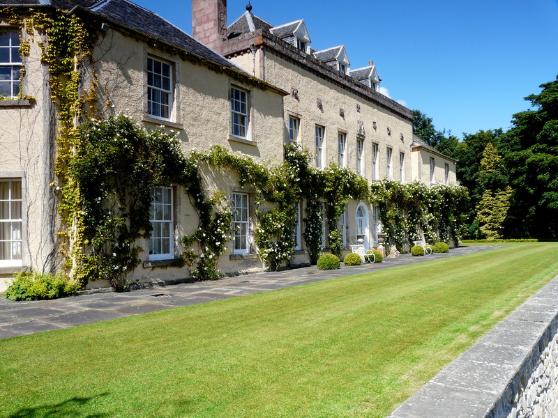
Novar House
Novar House is an 18th-century building, located 0.7 miles north of the village of Evanton in Ross, Scotland. It is built on the site of an earlier castle...

Evanton railway station
Evanton railway station was a railway station on the Inverness and Ross-shire Railway, on the Inverness to Dingwall section. It was situated to the east...

Kiltearn
Kiltearn (Gaelic: Cill Tighearna) is a parish in Ross and Cromarty, Scotland. It is in the Presbytery of Ross. The principal settlement is the village...
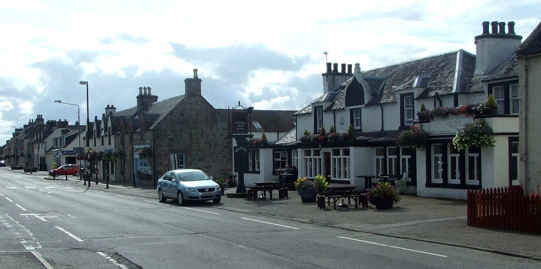
Evanton
Evanton (Scottish Gaelic: Baile Eòghainn or Scottish Gaelic: Am Baile Ùr) is a small village in Easter Ross, in the Highland council area of Scotland....
Have you been to Dail Gheal?
Leave your review of Dail Gheal below (or comments, questions and feedback).