Back Moss

Wood, Forest in Ayrshire

Scotland

Back Moss

Sheepfolds and timber stacks by a track in the Afton Wind Farm
Sheepfolds and timber stacks by a track in the Afton Wind Farm Credit: Gordon Brown

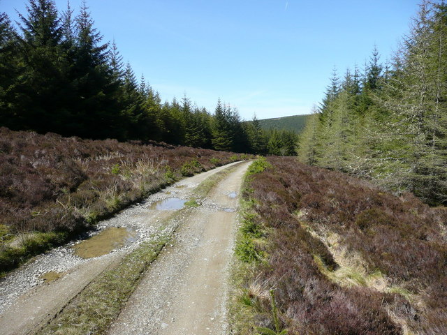
Back Moss is a small woodland area located in Ayrshire, Scotland. It is situated in the western part of the county, near the town of Ayr. Covering an area of approximately 50 acres, Back Moss is primarily composed of a dense forest, with a variety of different tree species.

The woodland is known for its rich biodiversity, providing a habitat for a wide range of flora and fauna. The dominant tree species in Back Moss include oak, birch, and beech, which contribute to the overall beauty of the forest. The forest floor is covered in a thick layer of moss, giving it a lush and vibrant appearance.

Back Moss is a popular destination for nature enthusiasts and outdoor enthusiasts alike. The woodland offers numerous walking trails, allowing visitors to explore its natural beauty and discover the diverse wildlife that resides within it. Common sightings in the area include squirrels, rabbits, and various bird species.

The woodland is also home to a diverse range of plant life, including ferns, wildflowers, and fungi. These provide a picturesque setting, especially during the spring and summer months when the forest is in full bloom.

Back Moss is a tranquil and peaceful location, offering visitors a chance to escape the hustle and bustle of everyday life. Whether it's taking a leisurely stroll, birdwatching, or simply enjoying the serenity of nature, Back Moss provides a serene environment for all to enjoy.

If you have any feedback on the listing, please let us know in the comments section below.
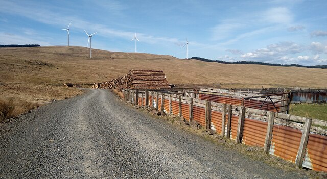
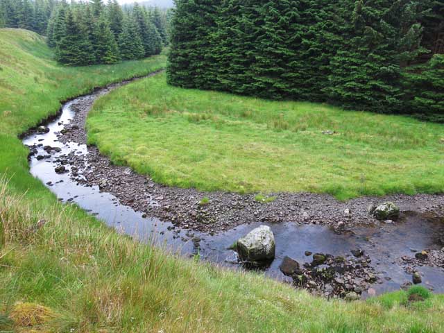
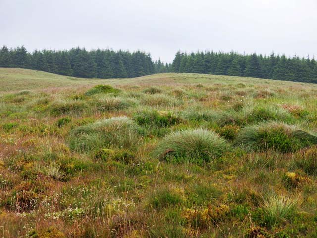
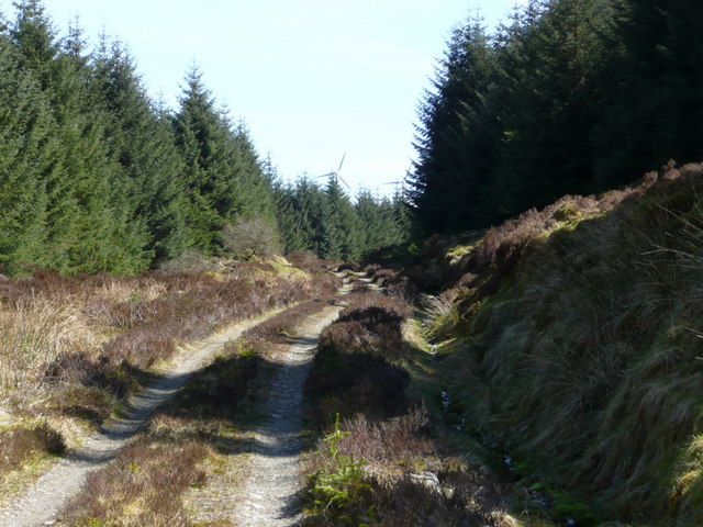
Back Moss Images

Images are sourced within 2km of 55.317615/-4.1967566 or Grid Reference NS6004. Thanks to Geograph Open Source API. All images are credited.

Sheepfolds and timber stacks by a track in the Afton Wind Farm
Water of Deugh near Finglandfoot There were no obvious signs of the old building shown on the map
Water of Deugh near Finglandfoot
There were no obvious signs of the old building shown on the map
Top of Milray Hill A flat boggy summit surrounded by forest
Top of Milray Hill
A flat boggy summit surrounded by forest
Deteriorating path South of Black Loch, the marked path deteriorates from a forest track to an indistinct line through a maze of rarely trodden firebreaks.
Deteriorating path
South of Black Loch, the marked path deteriorates from a forest track to an indistinct line through a maze of rarely trodden firebreaks.
Glenlee The ruin Glenlee on the northern bank of the Water of Deugh is a useful landmark for those navigating their way through a confusing maze of firebreaks.
Glenlee
The ruin Glenlee on the northern bank of the Water of Deugh is a useful landmark for those navigating their way through a confusing maze of firebreaks.
Water of Deugh The Water of Deugh just upstream of Glenlee.
Water of Deugh
The Water of Deugh just upstream of Glenlee.
ATV track to the mast on White Knowes Associated with the many wind farms around Glen Afton
ATV track to the mast on White Knowes
Associated with the many wind farms around Glen Afton
Dry stane dyke and fence on Struther's Brae On moorland west of Glen Afton
Dry stane dyke and fence on Struther's Brae
On moorland west of Glen Afton
Dry stane dyke in the forest west of Glen Afton The dyke gives a good reference point for navigation
Dry stane dyke in the forest west of Glen Afton
The dyke gives a good reference point for navigation
Water of Deugh A welcome break in the forest
Water of Deugh
A welcome break in the forest
Mast on White Knowes Associated with the many wind farm around Glen Afton
Mast on White Knowes
Associated with the many wind farm around Glen Afton
Forestry road Forestry road and the bridge over Fingland burn.
Forestry road
Forestry road and the bridge over Fingland burn.
Forestry road
Forestry road
Forestry road
Forestry road
Forestry road junction
Old sheepfold
Old sheepfold
Castle William at the head of Glen Afton Blind Hary tells us that William Wallace the patriot held a royal house here
Castle William at the head of Glen Afton
Blind Hary tells us that William Wallace the patriot held a royal house here
Wind turbine
Wind turbine
Show me another place!

Back Moss is located at Grid Ref: NS6004 (Lat: 55.317615, Lng: -4.1967566)

Unitary Authority: East Ayrshire

Police Authority: Ayrshire

What 3 Words

///strain.companies.prettiest. Near New Cumnock, East Ayrshire

Nearby Locations

Glenlee Back Moss

Related Wikis

Windy Standard

Windy Standard is a hill in the Carsphairn and Scaur Hills range, part of the Southern Uplands of Scotland. It lies in Dumfries and Galloway, south of...

Blackcraig Hill

Blackcraig Hill is a hill in the Carsphairn and Scaur Hills range, part of the Southern Uplands of Scotland. It lies southeast of the town of New Cumnock...

Cairnsmore of Carsphairn

Cairnsmore of Carsphairn is a hill in the Carsphairn and Scaur Hills range, part of the Southern Uplands of Scotland. An alternative name, rarely used...

Knockshinnoch disaster

The Knockshinnoch disaster was a mining accident that occurred in September 1950 in the village of New Cumnock, Ayrshire, Scotland. A glaciated lake filled...

Nearby Amenities

Located within 500m of 55.317615,-4.1967566
Power: tower
Lat/Long: 55.316814/-4.1893369
Power: tower
Lat/Long: 55.3160325/-4.1914827
Power: tower
Lat/Long: 55.3150984/-4.1942668
Power: tower
Lat/Long: 55.3141582/-4.1967505
Power: tower
Lat/Long: 55.314088/-4.2012432
The data included in this document is from www.openstreetmap.org. The data is made available under ODbL.

Have you been to Back Moss?

Leave your review of Back Moss below (or comments, questions and feedback).