Glenboig Wood

Wood, Forest in Stirlingshire

Scotland

Glenboig Wood

The Great Corrie of Balglass Looking South from B818 towards the corrie in the Campsie Fells some 3km distant.
The Great Corrie of Balglass Credit: JOHN MORELAND

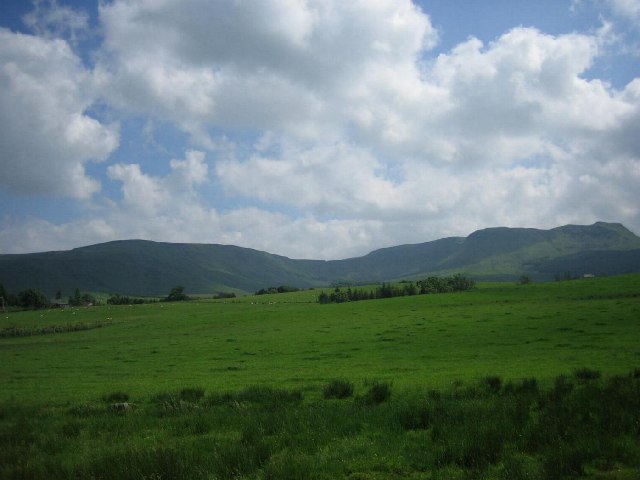
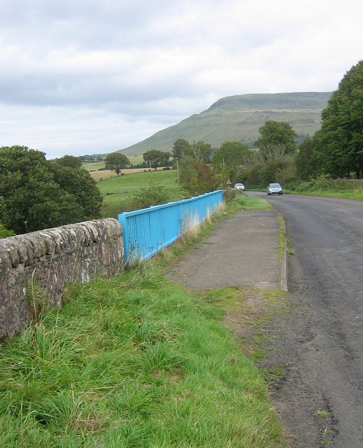
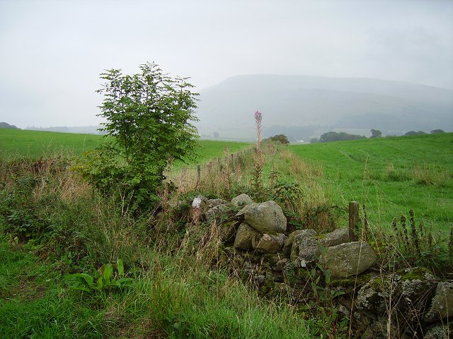
Glenboig Wood is a picturesque forest located in Stirlingshire, Scotland. Covering an area of approximately 100 hectares, it is a popular destination for nature enthusiasts and those seeking a peaceful retreat amidst the beauty of the Scottish countryside.

The wood is characterized by its diverse range of tree species, including oak, birch, beech, and Scots pine, which create a rich tapestry of colors throughout the seasons. The dense foliage provides a sanctuary for numerous wildlife species, including red squirrels, roe deer, and a variety of bird species.

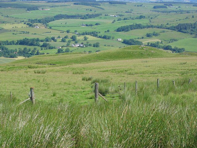
Traversing through Glenboig Wood, visitors can explore a network of well-maintained paths and trails that wind their way through the forest. These paths offer opportunities for leisurely walks, jogging, or cycling, allowing visitors to immerse themselves in the tranquility of nature.

For those with a keen interest in flora and fauna, Glenboig Wood offers a fascinating array of plant life, including rare orchids and wildflowers that bloom in the spring and summer months. The wood also boasts a small stream that meanders through its heart, adding to its charm and providing a habitat for aquatic wildlife.

Glenboig Wood is not only a haven for nature enthusiasts but also a valuable educational resource. It is frequently used by schools and environmental organizations as an outdoor classroom, where children and adults alike can learn about the importance of conservation, biodiversity, and the delicate balance of ecosystems.

Overall, Glenboig Wood is a natural gem within Stirlingshire, offering a serene escape from urban life and a chance to reconnect with the wonders of the natural world.

If you have any feedback on the listing, please let us know in the comments section below.

Glenboig Wood Images

Images are sourced within 2km of 56.059125/-4.2421552 or Grid Reference NS6087. Thanks to Geograph Open Source API. All images are credited.

The Great Corrie of Balglass Looking South from B818 towards the corrie in the Campsie Fells some 3km distant.
The Great Corrie of Balglass
Looking South from B818 towards the corrie in the Campsie Fells some 3km distant.
Gate above Balglass Gateway on the Campsie Fells, below the wide open spaces of rough grazing that make up this square.
Gate above Balglass
Gateway on the Campsie Fells, below the wide open spaces of rough grazing that make up this square.
B818 near Fintry. Bridge on the road leading west from Fintry. Looking towards Fintry with Stronend in the background.
B818 near Fintry.
Bridge on the road leading west from Fintry. Looking towards Fintry with Stronend in the background.
Hill of Balgair Dyke junction amongst grassland below the less fertile lands of Balgair Muir. The distant hill is Stronend above Fintry.
Hill of Balgair
Dyke junction amongst grassland below the less fertile lands of Balgair Muir. The distant hill is Stronend above Fintry.
Balgair Burn running off Balgair Moor. A damp morning but still showing off a fine berry crop.
Balgair
Burn running off Balgair Moor. A damp morning but still showing off a fine berry crop.
Road to Balfron Road heading away from Balgair in the direction of Balfron.
Road to Balfron
Road heading away from Balgair in the direction of Balfron.
Driveway to Overton Farm Looking towards Dunmore, the hill above Fintry
Driveway to Overton Farm
Looking towards Dunmore, the hill above Fintry
Walls and fences Crumbling dry stone walls have been replaced by fences which are now showing their age.
A view to Dunmore and Stronend.
Walls and fences
Crumbling dry stone walls have been replaced by fences which are now showing their age. A view to Dunmore and Stronend.
Crag, Corrie of Balglass Distinctive crag on the eastern side of the Corrie of Balglass.
Crag, Corrie of Balglass
Distinctive crag on the eastern side of the Corrie of Balglass.
Bungalow at Harvieston Farm
B818 near Balglass
B818 near Balglass
Driveway, Knockraich Knockraich is home to a very good cafe.
Driveway, Knockraich
Knockraich is home to a very good cafe.
Scrub vegetation on slope east of B822 Rough grass and some scrub-like vegetation on the slope which rises ultimately to rock bands below Stronend via an intermediate location named as Skiddaw.
Scrub vegetation on slope east of B822
Rough grass and some scrub-like vegetation on the slope which rises ultimately to rock bands below Stronend via an intermediate location named as Skiddaw.
Farmland, Strathendrick Arable land with some infertile looking upland area in the background.
Farmland, Strathendrick
Arable land with some infertile looking upland area in the background.
Cloch Burn A Campsie burn nears the Endrick in dairy farming country.
Cloch Burn
A Campsie burn nears the Endrick in dairy farming country.
Cloch Burn Burn flowing to the Endrick off the Campsie Fells.
Cloch Burn
Burn flowing to the Endrick off the Campsie Fells.
Balglass Burn A burn draining the north side of Earl's Seat via the Little Corrie but not the Balglass Corrie - that gives rise to the Cloch Burn.
Balglass Burn
A burn draining the north side of Earl's Seat via the Little Corrie but not the Balglass Corrie - that gives rise to the Cloch Burn.
Crags and scree in the Corrie of Balglass Descending slightly from the rim of the corrie gives a good view which contrasts the rocky corrie with the low farmlands in Strath Endrick. Some of the hills of the southern Highlands can be seen in the distance.
Crags and scree in the Corrie of Balglass
Descending slightly from the rim of the corrie gives a good view which contrasts the rocky corrie with the low farmlands in Strath Endrick. Some of the hills of the southern Highlands can be seen in the distance.
Show me another place!

Glenboig Wood is located at Grid Ref: NS6087 (Lat: 56.059125, Lng: -4.2421552)

Unitary Authority: Stirling

Police Authority: Forth Valley

What 3 Words

///albatross.obey.pipes. Near Balfron, Stirling

Nearby Locations

Glenboig Wood

Related Wikis

Fintry

Fintry is a small riverside village in Stirlingshire, central Scotland. It is located 16 miles (26 km) south-west of Stirling and around 19 miles (31 km...

Culcreuch Castle

Culcreuch Castle is a Scottish castle close to the village of Fintry, near Loch Lomond. It had been the home of the Barons of Culcreuch since 1699. In...
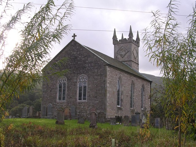
Fintry Kirk

Fintry Kirk is in the village of Fintry in Stirlingshire, Scotland. Fintry is a Church of Scotland Parish in the Presbytery of Stirling. The kirk is located...
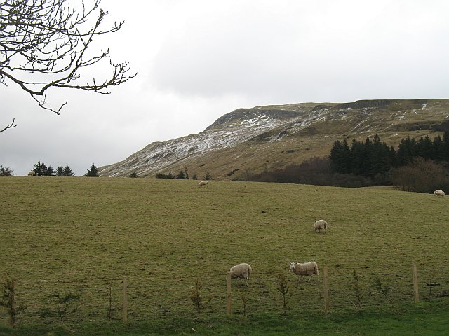
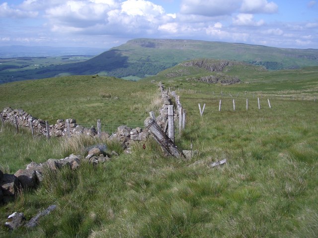
Stronend

Stronend (511 m) is the highest peak of the Fintry Hills in Stirlingshire, Scotland. Standing above the village of Fintry, it provides excellent views...

Nearby Amenities

Located within 500m of 56.059125,-4.2421552
Power: pole
Lat/Long: 56.0612314/-4.2441689
Power: pole
Lat/Long: 56.0616635/-4.2432088
Power: pole
Lat/Long: 56.0622626/-4.2424348
Power: pole
Lat/Long: 56.0627122/-4.2418219
Power: pole
Lat/Long: 56.0631735/-4.2412509
Power: pole
Lat/Long: 56.0569785/-4.2371009
Power: pole
Lat/Long: 56.0573324/-4.2359839
Power: pole
Lat/Long: 56.0576618/-4.2349192
Power: pole
Lat/Long: 56.0582516/-4.2354317
Power: pole
Lat/Long: 56.0586171/-4.2365821
Power: pole
Lat/Long: 56.0589792/-4.2376008
Power: pole
Lat/Long: 56.0593179/-4.2386132
Power: pole
Lat/Long: 56.0595655/-4.2393202
Power: pole
Lat/Long: 56.0598224/-4.2400921
Power: pole
Lat/Long: 56.0600583/-4.2407698
Power: pole
Lat/Long: 56.0603293/-4.2415354
Power: pole
Lat/Long: 56.0606201/-4.2424097
Power: pole
Lat/Long: 56.0609366/-4.2433301
Power: pole
Lat/Long: 56.06158/-4.2451373
Power: pole
Lat/Long: 56.0619747/-4.2464782
Power: pole
Lat/Long: 56.0592373/-4.2394645
Power: pole
Lat/Long: 56.0588729/-4.2396549
The data included in this document is from www.openstreetmap.org. The data is made available under ODbL.

Have you been to Glenboig Wood?

Leave your review of Glenboig Wood below (or comments, questions and feedback).