Clochcore Wood
Wood, Forest in Stirlingshire
Scotland
Clochcore Wood
Clochcore Wood is a picturesque forest located in Stirlingshire, Scotland. Covering an area of approximately 100 hectares, it is a popular destination for nature lovers, hikers, and wildlife enthusiasts. The wood is situated near the village of Thornhill, and it is easily accessible by car or public transportation.
The woodland is dominated by a diverse range of tree species, including oak, beech, birch, and Scots pine. These trees create a lush and vibrant canopy, providing a habitat for various animals and bird species. Visitors can expect to encounter squirrels, deer, foxes, and a wide variety of birdlife during their explorations.
Clochcore Wood boasts several well-maintained walking trails, ranging from easy strolls to more challenging hikes. These trails meander through the forest, offering breathtaking views of the surrounding countryside and the nearby Campsie Fells.
The wood is also home to a number of historic features, adding an extra layer of interest to the area. Ruins of old buildings and remnants of ancient settlements can be found scattered throughout the woodland, providing a glimpse into the rich history of the region.
Nature enthusiasts will appreciate the abundance of flora and fauna that can be found in Clochcore Wood. Wildflowers carpet the forest floor during spring and summer, while the autumn season brings a stunning display of vibrant colors as the leaves change.
Overall, Clochcore Wood is a captivating and enchanting destination for anyone seeking a peaceful escape into nature. With its scenic beauty, diverse wildlife, and rich history, it offers a truly immersive and unforgettable experience for visitors of all ages and interests.
If you have any feedback on the listing, please let us know in the comments section below.
Clochcore Wood Images
Images are sourced within 2km of 55.971914/-4.2381154 or Grid Reference NS6077. Thanks to Geograph Open Source API. All images are credited.


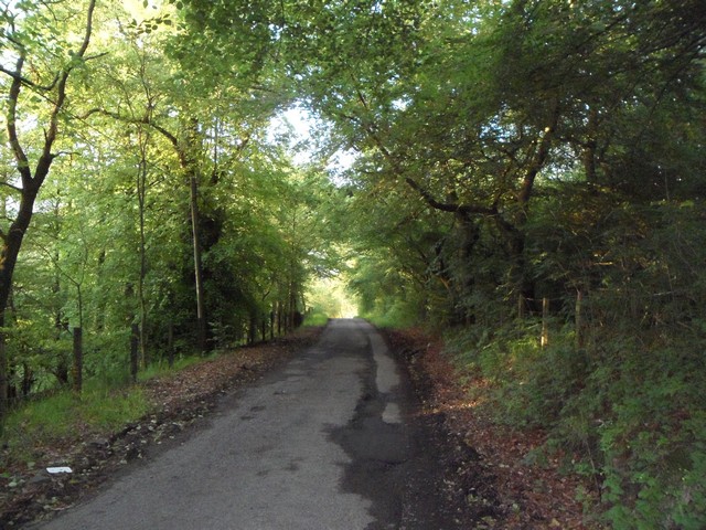
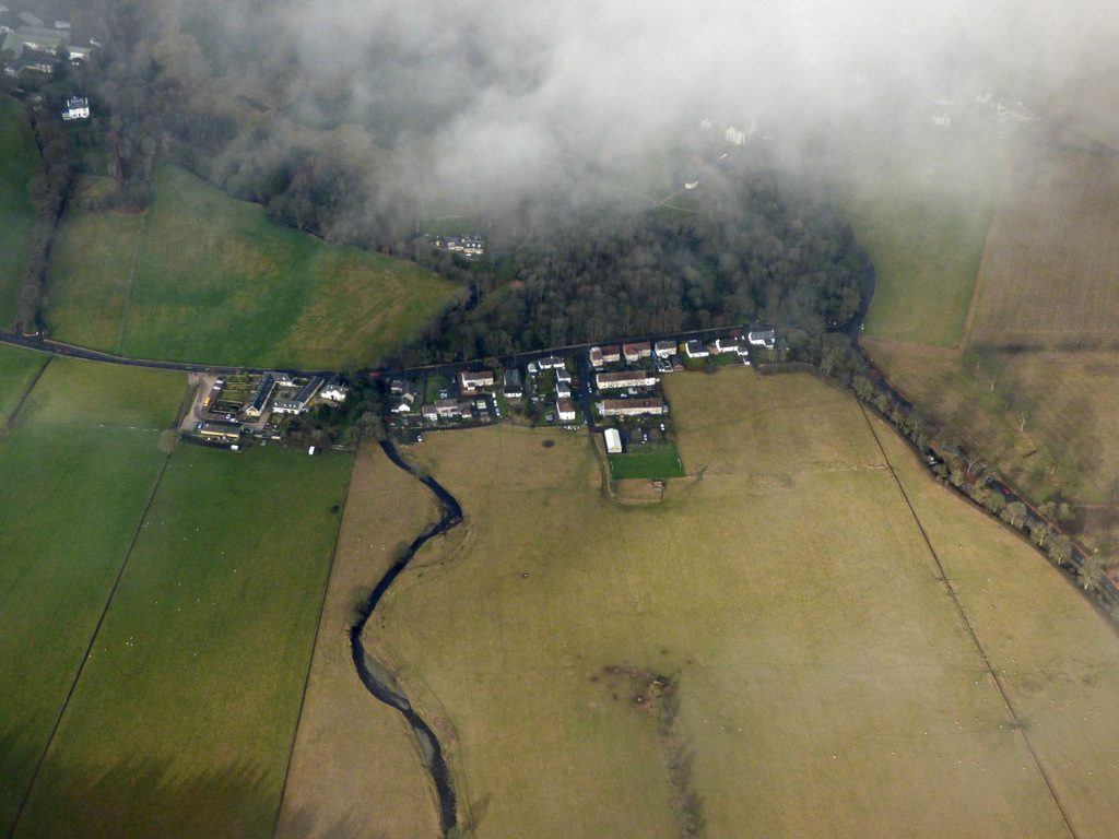
![Haughhead [2] Another view of the Haugh with the hamlet of the same name lying on the northern boundary.](https://s0.geograph.org.uk/geophotos/02/67/73/2677316_cf89a9e1.jpg)


Clochcore Wood is located at Grid Ref: NS6077 (Lat: 55.971914, Lng: -4.2381154)
Unitary Authority: East Dunbartonshire
Police Authority: Greater Glasgow
What 3 Words
///envy.outline.truckload. Near Lennoxtown, East Dunbartonshire
Nearby Locations
Related Wikis

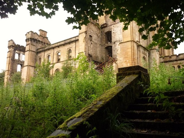
Lennox Castle
Lennox Castle is an abdandoned castle in Lennoxtown, East Dunbartonshire, Scotland, approximately 12 miles (19 kilometres) north of Glasgow. It is infamous...

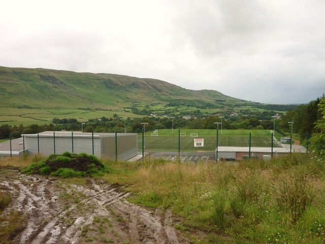
Lennoxtown training centre
Lennoxtown Training Centre is Celtic F.C.'s training centre, located at Lennoxtown, East Dunbartonshire in Scotland. The complex houses the club's training...

Finglen Burn
The Finglen Burn is a burn in Scotland that runs from north east of the Earl's Seat (the highest point on the Campsie Fells) to just north of Campsie Village...
Haughhead
Haughhead is a hamlet two miles from Lennoxtown in East Dunbartonshire, Scotland. It was historically part of Stirlingshire until 1975, when it became...

Campsie Glen railway station
Campsie Glen railway station served the village of Clachan of Campsie, East Dunbartonshire, Scotland from 1867 to 1951 on the Blane Valley Railway; the...

East Dunbartonshire (UK Parliament constituency)
East Dunbartonshire is a county constituency of the House of Commons of the Parliament of the United Kingdom (Westminster). It elects one Member of Parliament...

Clachan of Campsie
Clachan of Campsie or Campsie Glen (Scottish Gaelic: Clachan Chamais) is a settlement in the East Dunbartonshire area of Scotland. It was formerly part...

Lennoxtown
Lennoxtown (Scottish Gaelic: Baile na Leamhnachd, pronounced [ˈpalə nə ˈʎãũnəxk]) is a town in the East Dunbartonshire council area and the historic county...
Nearby Amenities
Located within 500m of 55.971914,-4.2381154Have you been to Clochcore Wood?
Leave your review of Clochcore Wood below (or comments, questions and feedback).