Black Bank Wood

Wood, Forest in Kirkcudbrightshire

Scotland

Black Bank Wood

The Southern Upland Way near Hannaston Wood
The Southern Upland Way near Hannaston Wood Credit: Dave Kelly

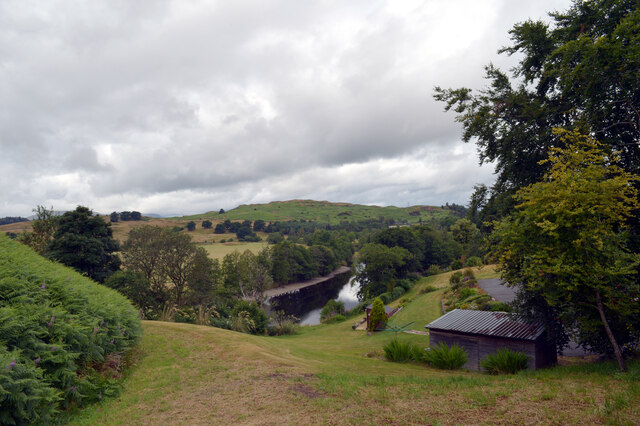
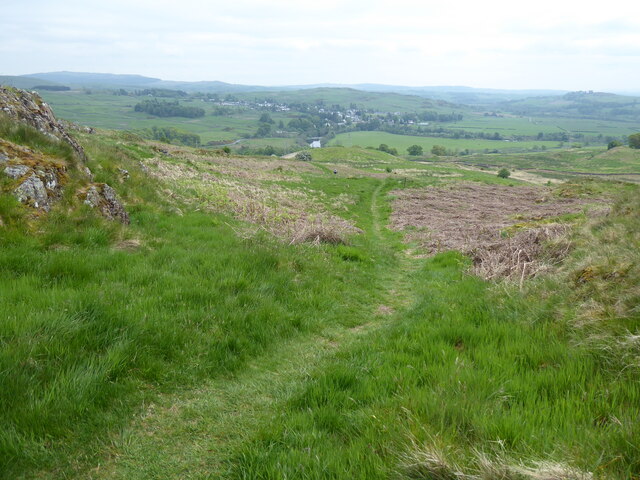
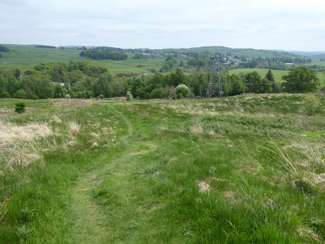
Black Bank Wood is a picturesque forest located in Kirkcudbrightshire, a historic county in southwest Scotland. Spanning an area of approximately 100 acres, this woodland is a prominent natural attraction in the region. The forest is situated alongside the Black Water river, providing visitors with a tranquil and serene environment to explore.

The woodland is mainly composed of a mixture of deciduous and coniferous trees, including oak, beech, and spruce. This diverse range of tree species creates a rich and vibrant ecosystem, attracting a wide variety of wildlife. Visitors to Black Bank Wood may have the opportunity to spot native animals such as red squirrels, roe deer, and various bird species.

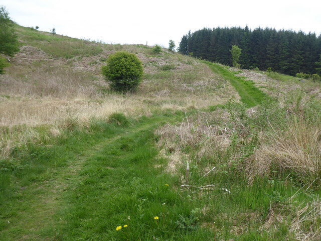
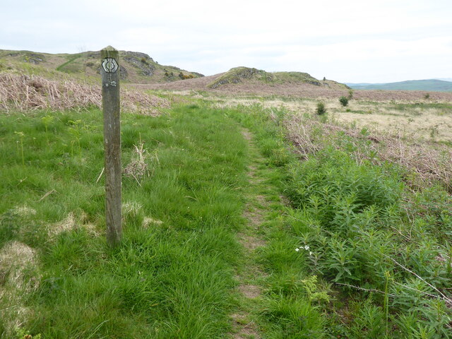
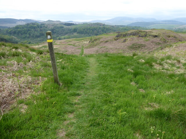
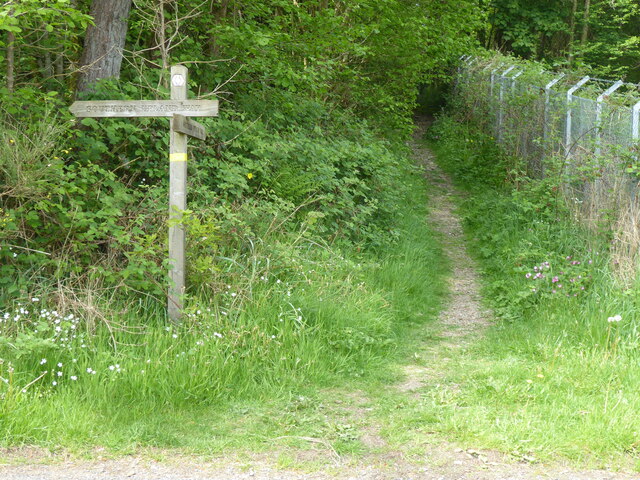
Well-maintained walking trails meander through the forest, offering visitors the chance to immerse themselves in the natural beauty of the area. These paths provide a gentle and accessible route for people of all ages and abilities to enjoy the woodland. In addition to walking, the forest also provides opportunities for activities such as cycling, birdwatching, and photography.

Black Bank Wood is a popular destination for nature enthusiasts and those seeking a peaceful escape from the hustle and bustle of everyday life. The forest offers a unique blend of tranquility, natural beauty, and recreational opportunities, making it a must-visit location for both locals and tourists alike.

If you have any feedback on the listing, please let us know in the comments section below.

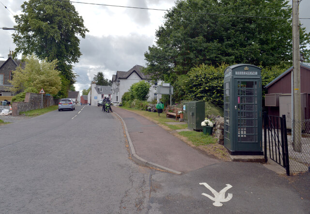
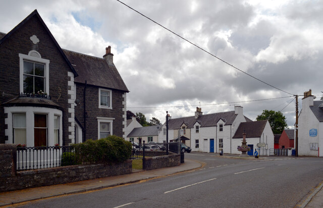
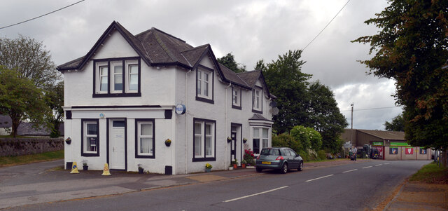
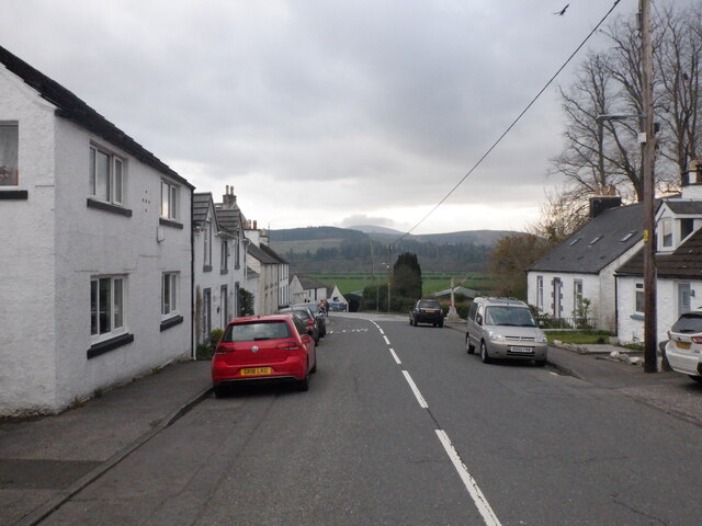
Black Bank Wood Images

Images are sourced within 2km of 55.096362/-4.1903219 or Grid Reference NX6080. Thanks to Geograph Open Source API. All images are credited.

The Southern Upland Way near Hannaston Wood
The Southern Upland Way near Drumwhill
Woodland footpath The Southern Upland Way utilising a narrow footpath passing through a woodland.
Woodland footpath
The Southern Upland Way utilising a narrow footpath passing through a woodland.
Footbridge crossing Garroch Burn A wooden footbridge carrying the Southern Upland Way over the Garroch Burn.
Footbridge crossing Garroch Burn
A wooden footbridge carrying the Southern Upland Way over the Garroch Burn.
Meadow beside the Garroch Burn A meadow beside the Garroch Burn crossed by the Southern Upland Way.
Meadow beside the Garroch Burn
A meadow beside the Garroch Burn crossed by the Southern Upland Way.
Meadow beside Hannaston Wood A meadow sandwiched between Hannaston Wood and the Garroch Burn. The Southern Upland Way crosses the field.
Meadow beside Hannaston Wood
A meadow sandwiched between Hannaston Wood and the Garroch Burn. The Southern Upland Way crosses the field.
Ayr Road (A713), St. John's Town of Dalry
Ayr Road (A713), St. John's Town of Dalry Looking towards its junction with Main Street.
Ayr Road (A713), St. John's Town of Dalry
Looking towards its junction with Main Street.
Police station, Ayr Road (A713), St. John's Town of Dalry
Water of Ken, St. John's Town of Dalry The view from the service station on Ayr Road.
Water of Ken, St. John's Town of Dalry
The view from the service station on Ayr Road.
Main Street, Dalry
Main Street, Dalry
The Southern Upland Way near Waterside Hill
The Southern Upland Way near Craiggubble Wood
Show me another place!

Black Bank Wood is located at Grid Ref: NX6080 (Lat: 55.096362, Lng: -4.1903219)

Unitary Authority: Dumfries and Galloway

Police Authority: Dumfries and Galloway

What 3 Words

///warnings.couriers.entitle. Near Castle Douglas, Dumfries & Galloway

Nearby Locations

Carse Wood Black Bank Wood

Related Wikis

St John's Town of Dalry

St John's Town of Dalry (Scottish Gaelic: Clachan Eòin), usually referred to simply as Dalry (/dæl'raɪ/ / 'dal-RYE'), is a village in Dumfries and Galloway...

Kells, Dumfries and Galloway

Kells parish, in the Stewartry of Kirkcudbright in Scotland, is located 14 miles (NWbN) from Castle-Douglas, and 19 miles (NbW) from Kirkcudbright. It...

Earlstoun Castle

Earlstoun Castle, sometimes spelled Earlston Castle, is a derelict tower house near St John's Town of Dalry in Dumfries and Galloway, Scotland. Built in...

New Galloway Town Hall

The New Galloway Town Hall is a municipal building in Dumfries and Galloway, Scotland, situated on the town's high street. A tolbooth has existed on the...

Nearby Amenities

Located within 500m of 55.096362,-4.1903219
Power: tower
Lat/Long: 55.0992849/-4.1858053
Power: tower
Lat/Long: 55.0988151/-4.1853246
Generator Method: water-storage
Generator Output Electricity: 12 MW
Generator Source: hydro
Power: generator
Lat/Long: 55.0997526/-4.1862394
Power: tower
Lat/Long: 55.0936845/-4.1924637
Power: tower
Lat/Long: 55.0964628/-4.1885485
Power: tower
Lat/Long: 55.0950201/-4.1905655
Generator Method: water-storage
Generator Output Electricity: 12 MW
Generator Source: hydro
Power: generator
Lat/Long: 55.0996909/-4.1861248
Power: pole
Lat/Long: 55.0998723/-4.1854128
Power: pole
Lat/Long: 55.0928735/-4.1866661
Power: pole
Lat/Long: 55.0931758/-4.1878283
Power: pole
Lat/Long: 55.0938662/-4.1878248
Power: pole
Lat/Long: 55.094716/-4.1878321
Power: pole
Lat/Long: 55.0947592/-4.1877929
Power: pole
Lat/Long: 55.0949777/-4.1886608
Power: pole
Lat/Long: 55.0955678/-4.1878086
Power: pole
Lat/Long: 55.095583/-4.1879584
Power: pole
Lat/Long: 55.094312/-4.1893445
Power: pole
Lat/Long: 55.0945895/-4.1907051
Power: pole
Lat/Long: 55.0947768/-4.1915555
Power: pole
Lat/Long: 55.0949119/-4.1918144
Power: pole
Lat/Long: 55.0954857/-4.1928578
Power: pole
Lat/Long: 55.0959345/-4.1926547
Power: pole
Lat/Long: 55.0963795/-4.1923973
Power: pole
Lat/Long: 55.0967594/-4.1917842
Power: pole
Lat/Long: 55.0971015/-4.1913209
Power: pole
Lat/Long: 55.0961722/-4.1873532
Power: pole
Lat/Long: 55.0961239/-4.1872536
Power: pole
Lat/Long: 55.096712/-4.1866212
Power: pole
Lat/Long: 55.0969349/-4.1865638
Power: pole
Lat/Long: 55.0922249/-4.1918086
Power: pole
Lat/Long: 55.0928097/-4.19113
Power: pole
Lat/Long: 55.0932953/-4.1905475
Power: pole
Lat/Long: 55.0937857/-4.1899918
The data included in this document is from www.openstreetmap.org. The data is made available under ODbL.

Have you been to Black Bank Wood?

Leave your review of Black Bank Wood below (or comments, questions and feedback).