Stellage Hill Plantation
Wood, Forest in Kirkcudbrightshire
Scotland
Stellage Hill Plantation

The requested URL returned error: 429 Too Many Requests
If you have any feedback on the listing, please let us know in the comments section below.
Stellage Hill Plantation Images
Images are sourced within 2km of 54.885294/-4.1809404 or Grid Reference NX6056. Thanks to Geograph Open Source API. All images are credited.


Stellage Hill Plantation is located at Grid Ref: NX6056 (Lat: 54.885294, Lng: -4.1809404)
Unitary Authority: Dumfries and Galloway
Police Authority: Dumfries and Galloway
What 3 Words
///titles.taps.timer. Near Kirkcudbright, Dumfries & Galloway
Nearby Locations
Related Wikis
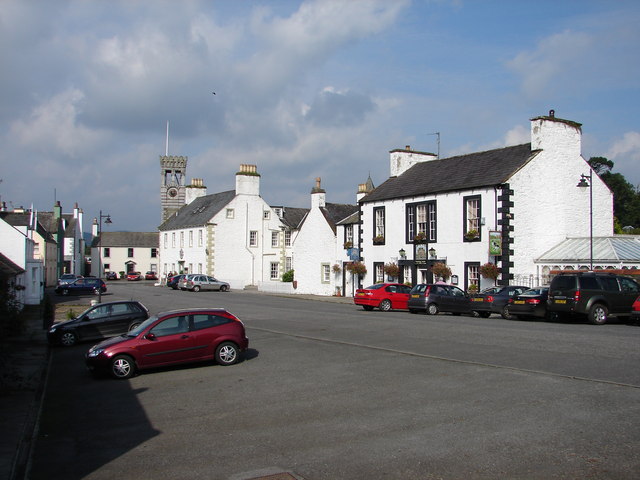
Gatehouse of Fleet
Gatehouse of Fleet (Scots: Gatehoose o Fleet Scottish Gaelic: Taigh an Rathaid) is a town half in the civil parish of Girthon and half in the parish of...

Gatehouse of Fleet Town Hall
Gatehouse of Fleet Town Hall is a former municipal building in the High Street in Gatehouse of Fleet, Dumfries and Galloway, Scotland. The structure, which...

Trusty's Hill
Trusty's Hill is a small vitrified hillfort about a mile to the west of the present-day town of Gatehouse of Fleet, in the parish of Anwoth in the Stewartry...
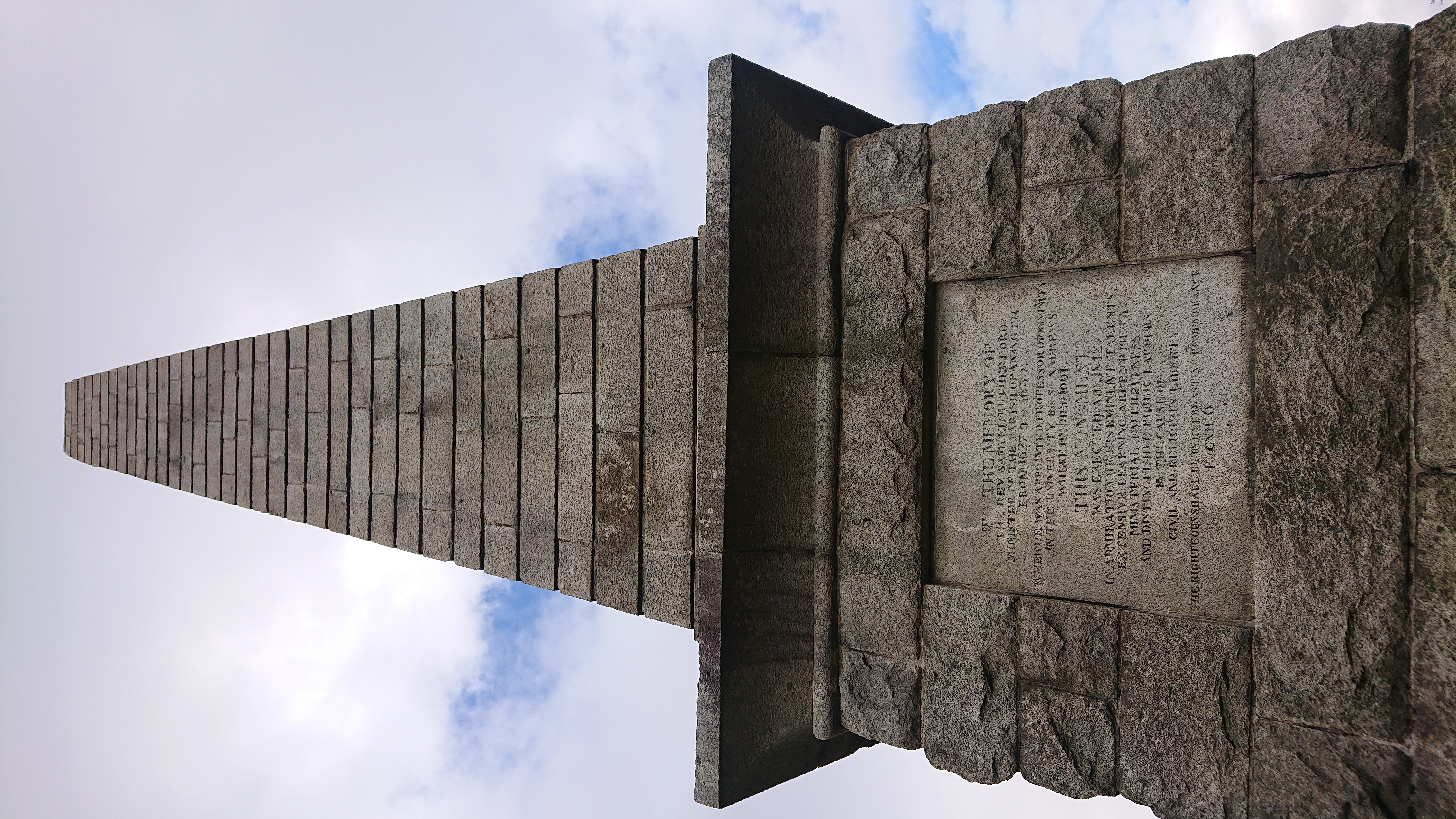
Rutherford's Monument
Rutherford's Monument is a commemorative monument between Anwoth and Gatehouse of Fleet in Dumfries and Galloway, Scotland. It is dedicated to the 17th...
Nearby Amenities
Located within 500m of 54.885294,-4.1809404Have you been to Stellage Hill Plantation?
Leave your review of Stellage Hill Plantation below (or comments, questions and feedback).