Barchock Wood

Wood, Forest in Kirkcudbrightshire

Scotland

Barchock Wood

The Southern Upland Way near Hannaston Wood
The Southern Upland Way near Hannaston Wood Credit: Dave Kelly

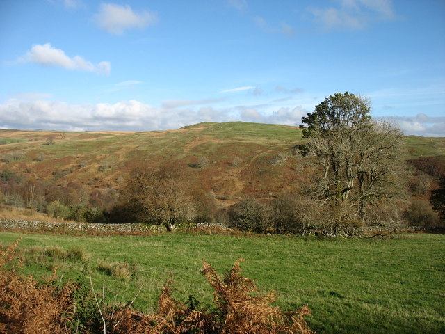
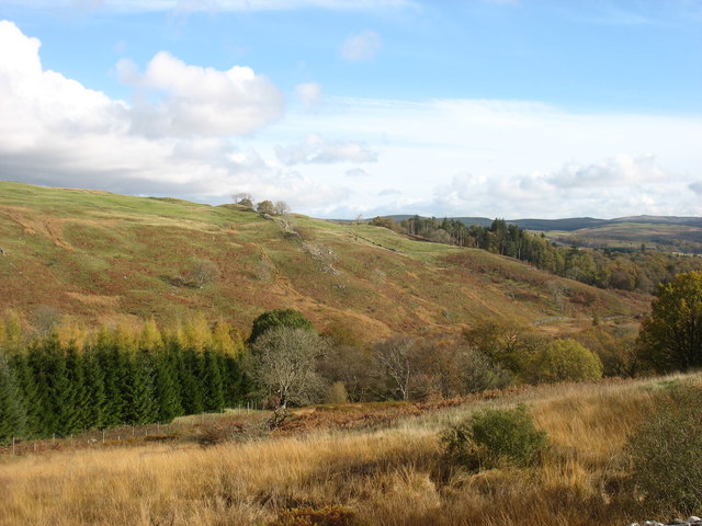
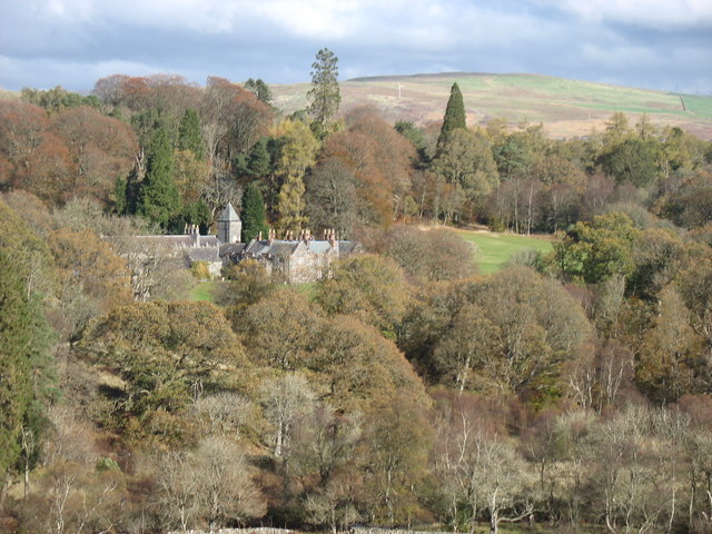
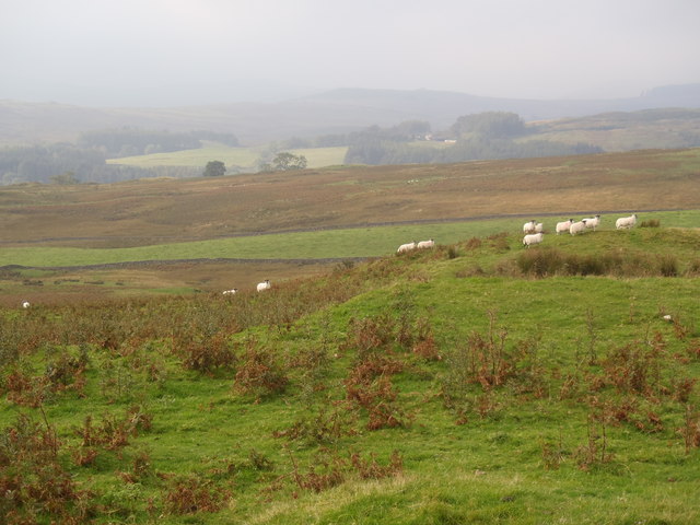
Barchock Wood is a picturesque woodland located in Kirkcudbrightshire, Scotland. Covering an area of approximately 100 acres, it is a popular destination for nature lovers and outdoor enthusiasts. The wood is situated just a few miles outside the town of Kirkcudbright, making it easily accessible for both locals and visitors.

The woodland is predominantly made up of a mix of native tree species such as oak, ash, birch, and beech. These trees create a dense canopy that provides a haven for a diverse range of wildlife. Birdwatchers can spot various species including woodpeckers, owls, and songbirds, while small mammals like squirrels and foxes can also be found roaming the forest floor.

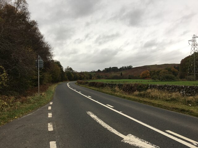
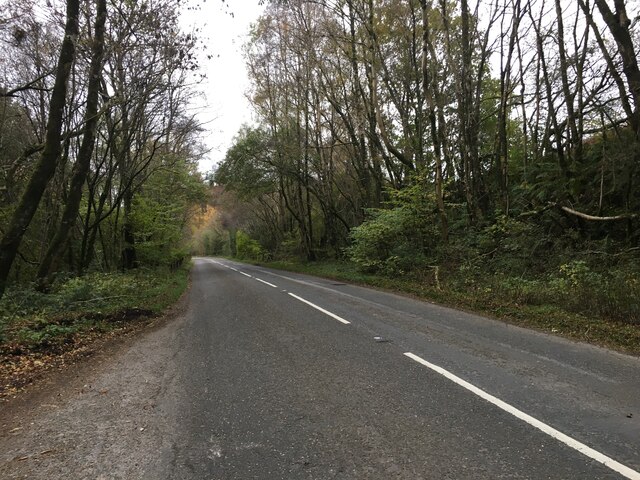
Barchock Wood is crisscrossed with a network of well-maintained footpaths, making it a great location for walking and hiking. The paths meander through the trees, offering stunning views of the surrounding countryside and the nearby River Dee. Along the way, visitors may come across clearings where they can rest and enjoy a picnic amidst the tranquil surroundings.

The wood is also home to a number of historical features, including the remnants of an old sawmill that once operated here. These remnants serve as a reminder of the area's industrial past and add a touch of intrigue to the woodland experience.

Overall, Barchock Wood is a delightful destination for those seeking a peaceful retreat into nature. With its diverse flora and fauna, well-maintained trails, and historical elements, it offers a truly immersive experience for all who venture into its leafy embrace.

If you have any feedback on the listing, please let us know in the comments section below.

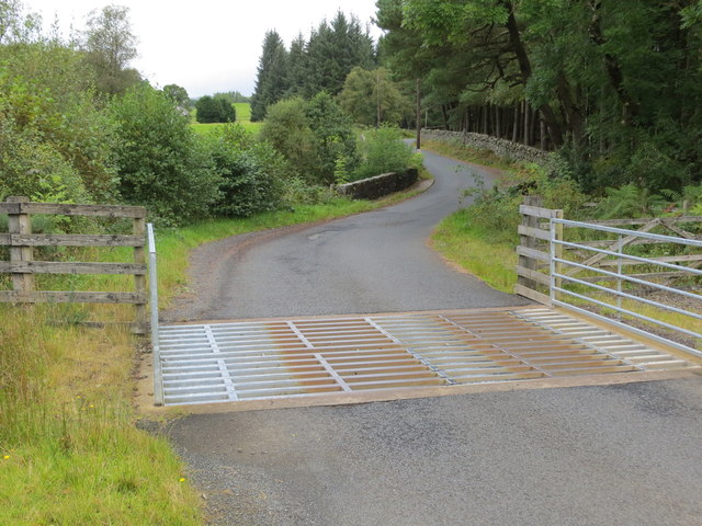
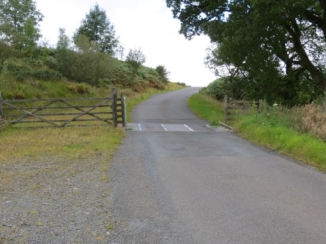
Barchock Wood Images

Images are sourced within 2km of 55.129531/-4.1956992 or Grid Reference NX6083. Thanks to Geograph Open Source API. All images are credited.

The Southern Upland Way near Hannaston Wood
The Southern Upland Way near Garroch Bridge
The Southern Upland Way near Hannaston Wood
The Southern Upland Way near Drumwhill
Road, Cattle Grid and Crummy Bridge
Cattle gridded road near Woodhall Looking north-westward.
Cattle gridded road near Woodhall
Looking north-westward.
Across the Polharrow Burn From the minor road to Forrest Lodge.
Across the Polharrow Burn
From the minor road to Forrest Lodge.
Across the Polharrow Burn From the lane to Forrest Lodge.
Across the Polharrow Burn
From the lane to Forrest Lodge.
Knocknalling House Seen from the road to Forrest Lodge.
Knocknalling House
Seen from the road to Forrest Lodge.
Grassland beside the Garroch Burn Long grass growing beside the Garroch Burn seen from the Southern Upland Way.
Grassland beside the Garroch Burn
Long grass growing beside the Garroch Burn seen from the Southern Upland Way.
Woodland footpath The Southern Upland Way utilising a narrow footpath passing through a woodland.
Woodland footpath
The Southern Upland Way utilising a narrow footpath passing through a woodland.
Footbridge crossing Garroch Burn A wooden footbridge carrying the Southern Upland Way over the Garroch Burn.
Footbridge crossing Garroch Burn
A wooden footbridge carrying the Southern Upland Way over the Garroch Burn.
Meadow beside the Garroch Burn A meadow beside the Garroch Burn crossed by the Southern Upland Way.
Meadow beside the Garroch Burn
A meadow beside the Garroch Burn crossed by the Southern Upland Way.
Meadow beside Hannaston Wood A meadow sandwiched between Hannaston Wood and the Garroch Burn. The Southern Upland Way crosses the field.
Meadow beside Hannaston Wood
A meadow sandwiched between Hannaston Wood and the Garroch Burn. The Southern Upland Way crosses the field.
A713 towards Castle Douglas
Old Enclosure beside the Pack Road The Pack Road is an old Pilgrim route from the Kingdom of Strathclyde to Whithorn. Carsfad Loch can be seen in the middle ground.
Old Enclosure beside the Pack Road
The Pack Road is an old Pilgrim route from the Kingdom of Strathclyde to Whithorn. Carsfad Loch can be seen in the middle ground.
View from Stroangassel Hill Stranfasket can be seen between the trees to the right of centre.  Early morning haze obscures the detail of the Rhinns of Kells
View from Stroangassel Hill
Stranfasket can be seen between the trees to the right of centre. Early morning haze obscures the detail of the Rhinns of Kells
Show me another place!

Barchock Wood is located at Grid Ref: NX6083 (Lat: 55.129531, Lng: -4.1956992)

Unitary Authority: Dumfries and Galloway

Police Authority: Dumfries and Galloway

What 3 Words

///foresight.punt.weddings. Near Bellsbank, East Ayrshire

Related Wikis

Polharrow Burn

Polharrow Burn is a small watercourse in Dumfries and Galloway, Scotland, in the historic county of Kirkcudbrightshire. It rises in Loch Harrow and flows...

Earlstoun Castle

Earlstoun Castle, sometimes spelled Earlston Castle, is a derelict tower house near St John's Town of Dalry in Dumfries and Galloway, Scotland. Built in...

Waukers Linn

Waukers Linn is a waterfall on Polharrow Burn in Dumfries and Galloway, Scotland. == See also == Waterfalls of Scotland == References ==

St John's Town of Dalry

St John's Town of Dalry (Scottish Gaelic: Clachan Eòin), usually referred to simply as Dalry (/dæl'raɪ/ / 'dal-RYE'), is a village in Dumfries and Galloway...

Nearby Amenities

Located within 500m of 55.129531,-4.1956992
Polharrow Br
Naptan AtcoCode: 680001025111
Naptan Bearing: N
Naptan BusStopType: CUS
Naptan CommonName: Polharrow Br
Naptan Indicator: Road end
Naptan Landmark: U1
Naptan NaptanCode: 34235848
Naptan Notes: none
Naptan Street: A713
Naptan Verified: no
Source: naptan_import
Lat/Long: 55.1329826/-4.1917918
Polharrow Br
Naptan AtcoCode: 680001025222
Naptan Bearing: S
Naptan BusStopType: CUS
Naptan CommonName: Polharrow Br
Naptan Indicator: opp Road End
Naptan Landmark: U1
Naptan NaptanCode: 34235849
Naptan Notes: none
Naptan Street: A713
Naptan Verified: no
Source: naptan_import
Lat/Long: 55.1330491/-4.1915915
Power: pole
Lat/Long: 55.1335047/-4.19542
Power: pole
Lat/Long: 55.1262459/-4.1916118
Power: pole
Lat/Long: 55.1268514/-4.1918517
Power: pole
Lat/Long: 55.12754/-4.1921426
Power: pole
Lat/Long: 55.1283833/-4.1924462
Power: pole
Lat/Long: 55.1292543/-4.1927958
Power: pole
Lat/Long: 55.1298962/-4.1930689
Power: pole
Lat/Long: 55.1306038/-4.1933853
Power: pole
Lat/Long: 55.1313259/-4.1937017
Power: pole
Lat/Long: 55.1320626/-4.194036
Power: pole
Lat/Long: 55.1325965/-4.1928341
Power: tower
Lat/Long: 55.1330405/-4.1908398
Power: pole
Lat/Long: 55.132849/-4.1943891
Power: pole
Lat/Long: 55.133603/-4.1947229
Power: pole
Lat/Long: 55.1330742/-4.1985371
Power: pole
Lat/Long: 55.1331698/-4.1978054
Power: pole
Lat/Long: 55.1332079/-4.1968312
Power: pole
Lat/Long: 55.1331637/-4.1960844
Power: pole
Lat/Long: 55.1329625/-4.1953291
Power: pole
Lat/Long: 55.132581/-4.1941597
Power: pole
Lat/Long: 55.1325774/-4.1934773
Power: pole
Lat/Long: 55.1327761/-4.1928122
Power: pole
Lat/Long: 55.1330276/-4.1996288
Line Management: termination
Material: wood
Power: pole
Transformer: distribution
Lat/Long: 55.1323249/-4.1903313
Material: wood
Power: pole
Lat/Long: 55.1324532/-4.1914594
Power: tower
Lat/Long: 55.1274604/-4.1906313
Power: tower
Lat/Long: 55.1295749/-4.1906982
Power: tower
Lat/Long: 55.1316359/-4.1908037
The data included in this document is from www.openstreetmap.org. The data is made available under ODbL.

Have you been to Barchock Wood?

Leave your review of Barchock Wood below (or comments, questions and feedback).