Barwhill Plantation
Wood, Forest in Kirkcudbrightshire
Scotland
Barwhill Plantation

Barwhill Plantation is a picturesque woodland located in Kirkcudbrightshire, a historic county in southwest Scotland. Spanning over a vast area, this forested landscape is a haven of natural beauty and tranquility.
The plantation is predominantly composed of native tree species, such as oak, beech, and birch, creating a diverse and vibrant ecosystem. The trees form a dense canopy, allowing only dappled sunlight to filter through, creating a magical atmosphere within the forest. Walking through the plantation, visitors can enjoy the calming sound of leaves rustling in the breeze and the sweet scent of pine lingering in the air.
The woodland boasts a rich biodiversity, providing a habitat for a wide range of flora and fauna. Numerous bird species, including woodpeckers and owls, call this woodland home, while mammals like red squirrels and roe deer can often be spotted among the trees. The forest floor is carpeted with a variety of wildflowers, adding bursts of color to the green surroundings.
For outdoor enthusiasts, Barwhill Plantation offers various recreational activities. There are well-maintained trails that wind through the forest, perfect for walking, jogging, or cycling. Nature lovers can explore the hidden corners of the woodland, discovering secluded spots for picnics or simply to enjoy the serenity of the surroundings.
With its natural beauty and abundant wildlife, Barwhill Plantation is a cherished gem in Kirkcudbrightshire, attracting visitors seeking solace in nature and the breathtaking landscapes it offers.
If you have any feedback on the listing, please let us know in the comments section below.
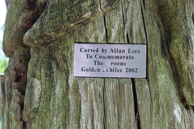
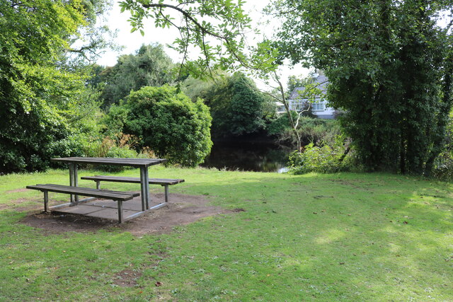
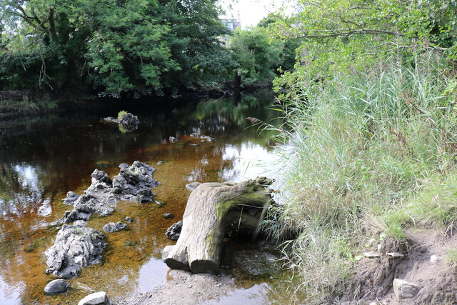
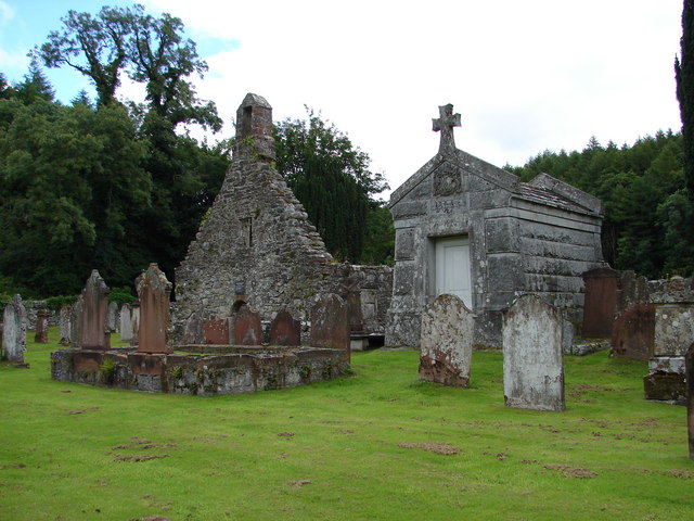
Barwhill Plantation Images
Images are sourced within 2km of 54.887708/-4.1846883 or Grid Reference NX5956. Thanks to Geograph Open Source API. All images are credited.


Barwhill Plantation is located at Grid Ref: NX5956 (Lat: 54.887708, Lng: -4.1846883)
Unitary Authority: Dumfries and Galloway
Police Authority: Dumfries and Galloway
What 3 Words
///juggles.retrial.raking. Near Kirkcudbright, Dumfries & Galloway
Nearby Locations
Related Wikis

Gatehouse of Fleet
Gatehouse of Fleet (Scots: Gatehoose o Fleet Scottish Gaelic: Taigh an Rathaid) is a town half in the civil parish of Girthon and half in the parish of...

Gatehouse of Fleet Town Hall
Gatehouse of Fleet Town Hall is a former municipal building in the High Street in Gatehouse of Fleet, Dumfries and Galloway, Scotland. The structure, which...

Trusty's Hill
Trusty's Hill is a small vitrified hillfort about a mile to the west of the present-day town of Gatehouse of Fleet, in the parish of Anwoth in the Stewartry...
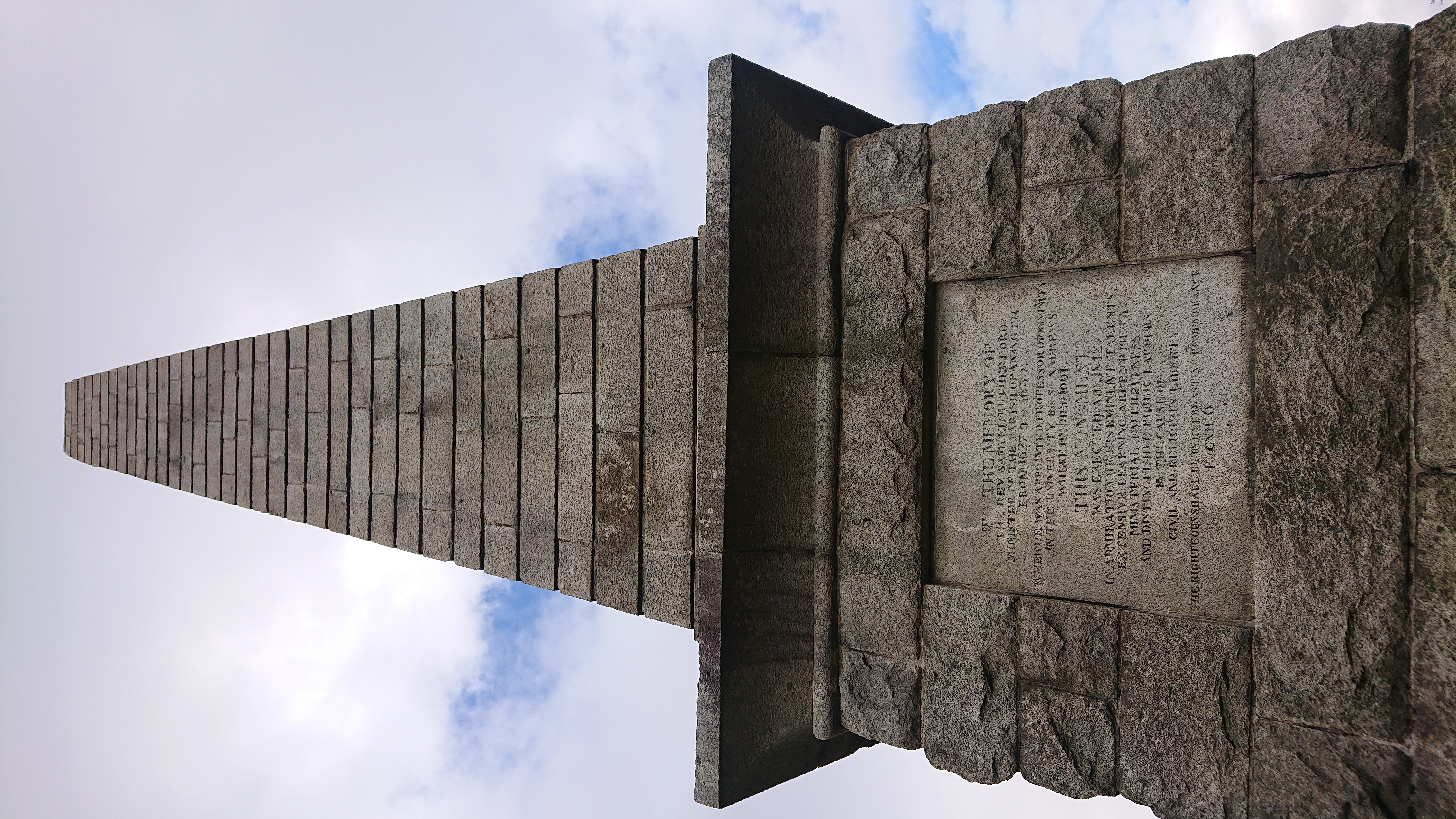
Rutherford's Monument
Rutherford's Monument is a commemorative monument between Anwoth and Gatehouse of Fleet in Dumfries and Galloway, Scotland. It is dedicated to the 17th...
Anwoth Old Church
Anwoth Old Church is a ruined church building which was built in 1626 to serve the parish of Anwoth in Dumfries and Galloway, Scotland. It is roofless...

Cardoness Castle
Cardoness Castle is a well-preserved 15th-century tower house just south west of Gatehouse of Fleet, in the historical county of Kirkcudbrightshire in...
Anwoth
Anwoth is a settlement near the Solway Firth in the historic county of Kirkcudbrightshire, southwest Scotland, within a parish of the same name in the...

Cally Palace
Cally Palace, formerly known as Cally House, is an 18th-century country house in the historical county of Kirkcudbrightshire in Dumfries and Galloway...
Nearby Amenities
Located within 500m of 54.887708,-4.1846883Have you been to Barwhill Plantation?
Leave your review of Barwhill Plantation below (or comments, questions and feedback).