Craigend Wood
Wood, Forest in Stirlingshire
Scotland
Craigend Wood
Craigend Wood is a picturesque forest located in Stirlingshire, Scotland. Covering an area of approximately 54 hectares, this woodland offers visitors a tranquil and scenic escape from the hustle and bustle of city life. The wood is situated on the eastern outskirts of Stirling, just a short distance from the historic Stirling Castle.
Craigend Wood is predominantly composed of native Scottish tree species, including oak, birch, and Scots pine. These trees create a diverse and rich ecosystem, providing habitat for a variety of wildlife. Visitors can often spot red squirrels, deer, and a wide range of bird species while exploring the wood.
The forest is crisscrossed by a network of well-maintained trails, making it a popular destination for walkers and nature enthusiasts. These paths wind through the wood, offering stunning views of the surrounding countryside and the River Forth. Some trails lead to elevated viewpoints, allowing visitors to admire the panoramic vistas of Stirling and its iconic landmarks.
In addition to its natural beauty, Craigend Wood also holds historical significance. The wood is believed to have been a hunting ground for Scottish kings and nobles in the past, and remnants of ancient settlements can still be found within its boundaries. These historical features add an extra layer of intrigue to the wood, making it a fascinating destination for those interested in the region's past.
Overall, Craigend Wood is a captivating destination that combines natural beauty, biodiversity, and historical charm. Whether visitors are seeking a peaceful stroll, wildlife spotting, or a glimpse into the past, this woodland offers something for everyone.
If you have any feedback on the listing, please let us know in the comments section below.
Craigend Wood Images
Images are sourced within 2km of 55.975357/-4.2489407 or Grid Reference NS5978. Thanks to Geograph Open Source API. All images are credited.


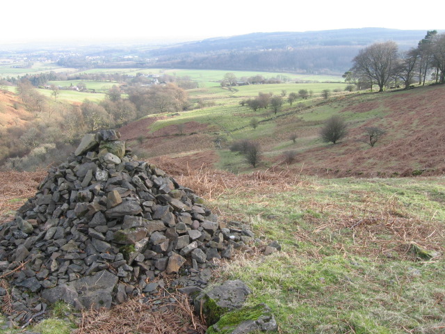
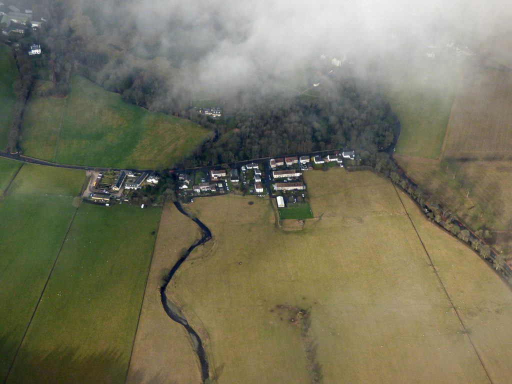
![Haughhead [2] Another view of the Haugh with the hamlet of the same name lying on the northern boundary.](https://s0.geograph.org.uk/geophotos/02/67/73/2677316_cf89a9e1.jpg)


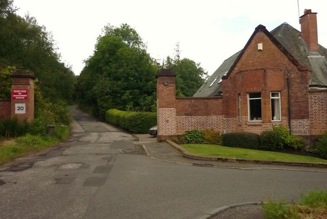
![Clachan of Campsie, Knowehead Road [2] Ballenclreoch Cottage up the brae on the left.](https://s3.geograph.org.uk/geophotos/02/67/73/2677335_b1a61bf9.jpg)
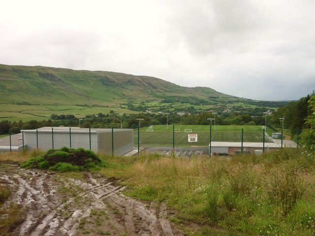
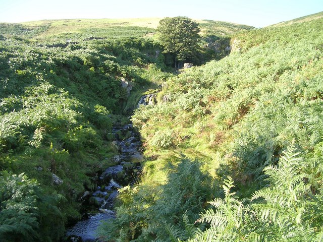
![Clachan of Campsie [2] View to the forestry enclosing the Kirk Burn.](https://s0.geograph.org.uk/geophotos/02/67/73/2677336_eed94dd5.jpg)
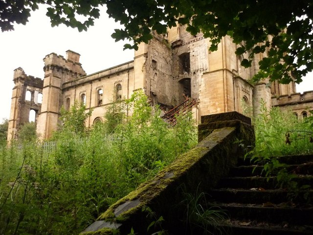
![Clachan of Campsie, Kirk Burn [2] Grid square runs through the centre of the burn here.](https://s2.geograph.org.uk/geophotos/02/67/73/2677338_66e4d8ee.jpg)
Craigend Wood is located at Grid Ref: NS5978 (Lat: 55.975357, Lng: -4.2489407)
Unitary Authority: East Dunbartonshire
Police Authority: Greater Glasgow
What 3 Words
///harmony.shackles.brink. Near Lennoxtown, East Dunbartonshire
Nearby Locations
Related Wikis

Lennox Castle
Lennox Castle is an abandoned castle in Lennoxtown, East Dunbartonshire, Scotland, approximately 12 miles (19 kilometres) north of Glasgow. It is infamous...

Lennoxtown training centre
Lennoxtown Training Centre is Celtic F.C.'s training centre, located at Lennoxtown, East Dunbartonshire in Scotland. The complex houses the club's training...

Finglen Burn
The Finglen Burn is a burn in Scotland that runs from north east of the Earl's Seat (the highest point on the Campsie Fells) to just north of Campsie Village...
Haughhead
Haughhead is a hamlet two miles from Lennoxtown in East Dunbartonshire, Scotland. It was historically part of Stirlingshire until 1975, when it became...

Campsie Glen railway station
Campsie Glen railway station served the village of Clachan of Campsie, East Dunbartonshire, Scotland from 1867 to 1951 on the Blane Valley Railway; the...

Clachan of Campsie
Clachan of Campsie or Campsie Glen (Scottish Gaelic: Clachan Chamais) is a settlement in the East Dunbartonshire area of Scotland. It was formerly part...
Aldessan Burn
Located in East Dunbartonshire, the Aldessan Burn (Scottish Gaelic: Allt Easain, meaning "burn of the falls"; also known as the Kirk Burn) is formed as...

East Dunbartonshire (UK Parliament constituency)
East Dunbartonshire is a county constituency of the House of Commons of the Parliament of the United Kingdom (Westminster). It elects one Member of Parliament...
Have you been to Craigend Wood?
Leave your review of Craigend Wood below (or comments, questions and feedback).