Braehead Plantation

Wood, Forest in Ayrshire

Scotland

Braehead Plantation

White Gate Recent crash damage to the remaining White Gate at the old level-crossing near Cronberry.
White Gate Credit: Rab McMurdo

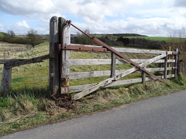
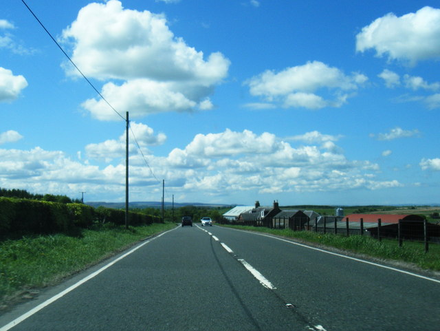
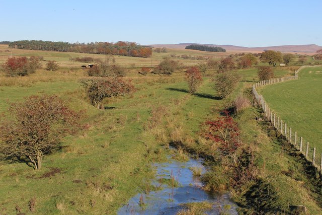
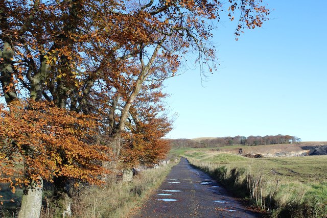
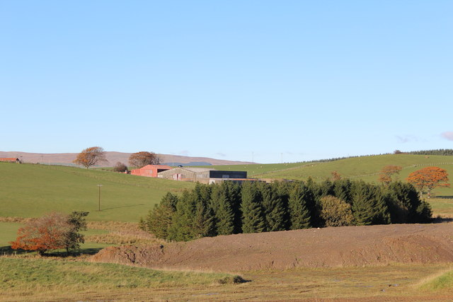
Braehead Plantation, located in Ayrshire, Scotland, is a sprawling wood and forest area that spans over several acres. Known for its picturesque beauty and rich biodiversity, this plantation serves as a popular destination for nature enthusiasts and those seeking tranquility in the midst of nature.

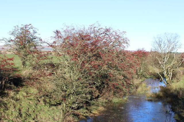
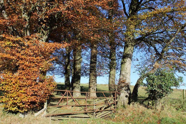
The plantation is primarily composed of a mix of deciduous and evergreen trees, including oak, beech, and pine, which create a diverse and vibrant ecosystem. These trees provide a habitat for a wide variety of wildlife, including birds, small mammals, and insects, making it an ideal spot for birdwatching and wildlife observation.

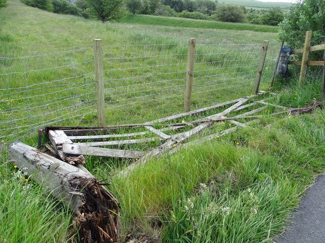
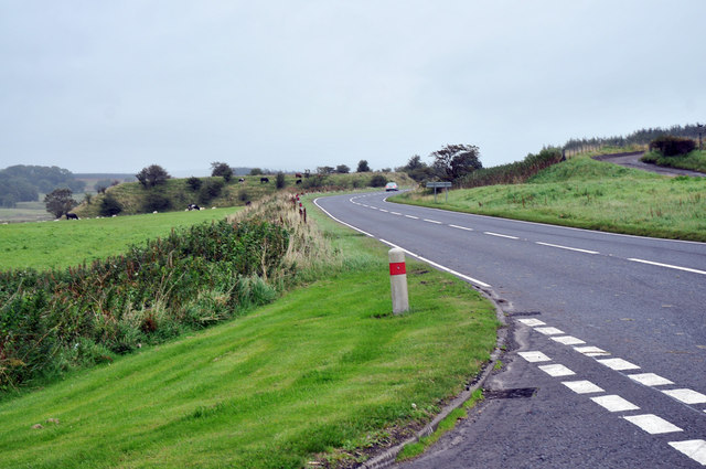
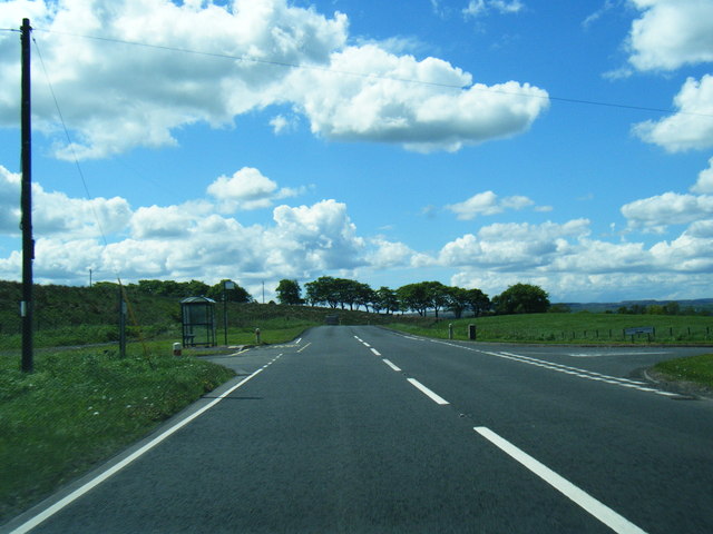
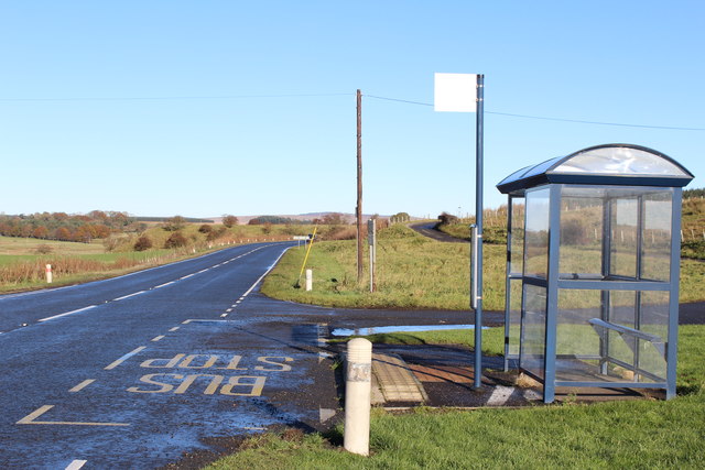
Visitors to Braehead Plantation can enjoy a network of well-maintained walking trails that wind through the forest, allowing them to explore the plantation at their own pace. These trails offer stunning views of the surrounding countryside and provide an opportunity to experience the peacefulness and serenity of the natural environment.

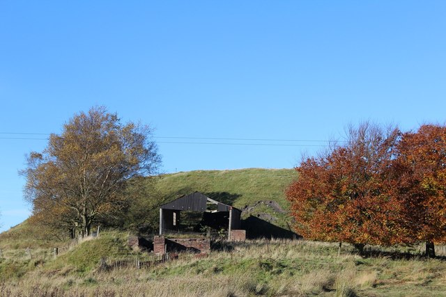
In addition to its natural beauty, Braehead Plantation also holds historical significance. The land has been used for centuries for timber production and was once a hunting ground for Scottish nobility. Today, remnants of this history can still be found, including the ruins of an old hunting lodge that add an air of mystery and intrigue to the plantation.

Overall, Braehead Plantation in Ayrshire is a captivating destination for nature lovers, with its diverse woodlands, abundant wildlife, and tranquil atmosphere. Whether visitors are seeking a peaceful walk in nature, a chance to spot rare bird species, or an opportunity to immerse themselves in history, this plantation offers a truly remarkable experience.

If you have any feedback on the listing, please let us know in the comments section below.

Braehead Plantation Images

Images are sourced within 2km of 55.46942/-4.2216965 or Grid Reference NS5921. Thanks to Geograph Open Source API. All images are credited.

White Gate Recent crash damage to the remaining White Gate at the old level-crossing near Cronberry.
White Gate
Recent crash damage to the remaining White Gate at the old level-crossing near Cronberry.
'White Gate' at Cronberry The remaining 'White Gate' belonging to the old level-crossing at Cronberry survived for many years after the old railway was removed.  Unfortunately, it suffered some damage from a vehicle sometime before the 18th April 2022.  Then, at some date before the 7th June 2022 the gate was seen to have been further damaged and knocked down.
This photo was taken while passing by on the 19th June 2022.
'White Gate' at Cronberry
The remaining 'White Gate' belonging to the old level-crossing at Cronberry survived for many years after the old railway was removed. Unfortunately, it suffered some damage from a vehicle sometime before the 18th April 2022. Then, at some date before the 7th June 2022 the gate was seen to have been further damaged and knocked down. This photo was taken while passing by on the 19th June 2022.
Thomarston Poultry Farm
A70 near Cronberry
A70 near Cronberry
Site of Cronberry station View NW from A70 road: ex-Glasgow & South Western junction of lines, via Auchinleck to left from Ayr and Kilmarnock via Mauchline and from Ayr via Drongan, to Muirkirk to right. The station closed to passengers on 10/9/51, to goods on 2/3/64. The passenger service from Auchinleck ceased from 1/7/50, so all lines were probably closed after 2/3/64 [- but I am not sure - help please!]
Site of Cronberry station
View NW from A70 road: ex-Glasgow & South Western junction of lines, via Auchinleck to left from Ayr and Kilmarnock via Mauchline and from Ayr via Drongan, to Muirkirk to right. The station closed to passengers on 10/9/51, to goods on 2/3/64. The passenger service from Auchinleck ceased from 1/7/50, so all lines were probably closed after 2/3/64 [- but I am not sure - help please!]
A70 westbound at Carbellow
A70 south of Cronberry
Flooded Railway Cutting south of Cronberry
Bus Shelter by A70 near Cronberry
Dismantled Railway near Cronberry
Bridge over Bellow Water near Cronberry
Derelict Shed & Pit Bing, Cronberry
Woodland & Farmland between Wallaceton & Blackcroft Bridge
Track leading to Duncanziemere
View towards Sunnyside
Duncanziemere Surface Mine
Woodland by Low Moss
Minor Road by Low Moss
Show me another place!

Braehead Plantation is located at Grid Ref: NS5921 (Lat: 55.46942, Lng: -4.2216965)

Unitary Authority: East Ayrshire

Police Authority: Ayrshire

What 3 Words

///regularly.baths.ballooned. Near Logan, East Ayrshire

Related Wikis

Bello Mill

Bello Mill (also spelt Bellow Mill) was a mill dating from the 18th century on the river called the Lugar Water, on the estate of James Boswell, Lord Auchinleck...

Murdoch's Cave

Murdoch's Cave, is a relatively small artificial cave created by William Murdoch (1754-1839) and his siblings in the soft red sandstone Lugar river bank...
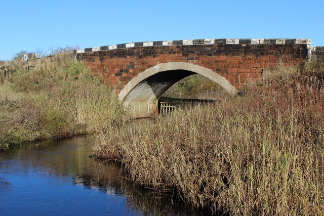
Glenmuir Water

The Glenmuir Water is a river in Ayrshire, Scotland.The river rises high in the hills south of Muirkirk. On reaching Lugar the Glenmuir is joined by the...

Cronberry

Cronberry is a small hamlet situated north-east of Cumnock and one mile north-east of Lugar, in East Ayrshire, Scotland. == History == Cronberry has a...

Nearby Amenities

Located within 500m of 55.46942,-4.2216965
Post Box
Post Box Type: lamp
Ref: KA18 17
Royal Cypher: scottish_crown
Source: survey
Lat/Long: 55.4665953/-4.2251872
Place: farm
Lat/Long: 55.4697068/-4.2178375
Power: pole
Lat/Long: 55.4667603/-4.2155909
Power: pole
Lat/Long: 55.4660999/-4.2169617
Power: pole
Lat/Long: 55.4674245/-4.2147924
Power: pole
Lat/Long: 55.4655844/-4.2249126
Power: pole
Lat/Long: 55.4657601/-4.2239332
Power: pole
Lat/Long: 55.4660922/-4.2221258
Power: pole
Lat/Long: 55.4663243/-4.2209066
Power: pole
Lat/Long: 55.4665833/-4.2194386
Power: pole
Lat/Long: 55.4671655/-4.2199068
Power: pole
Lat/Long: 55.4679143/-4.2204972
Power: pole
Lat/Long: 55.4684606/-4.2203139
Power: pole
Lat/Long: 55.4690812/-4.2202732
Power: pole
Lat/Long: 55.466064/-4.2263309
Power: pole
Lat/Long: 55.4655267/-4.2181922
Power: pole
Lat/Long: 55.4658729/-4.219339
Power: pole
Lat/Long: 55.4660666/-4.2200244
Power: pole
Lat/Long: 55.4657473/-4.2209224
Power: pole
Lat/Long: 55.4654382/-4.2218114
Power: pole
Lat/Long: 55.4654478/-4.2213861
Murdoch's Cave
Natural: cave_entrance
Lat/Long: 55.4674939/-4.2188025
The data included in this document is from www.openstreetmap.org. The data is made available under ODbL.

Have you been to Braehead Plantation?

Leave your review of Braehead Plantation below (or comments, questions and feedback).