Braidley Moss

Wood, Forest in Ayrshire

Scotland

Braidley Moss

Downstream view, Pogiven Burn A view from Pogiven Bridge, which has been rebuilt and strengthened, presumably for wind farm construction traffic.
Downstream view, Pogiven Burn Credit: Alan O'Dowd

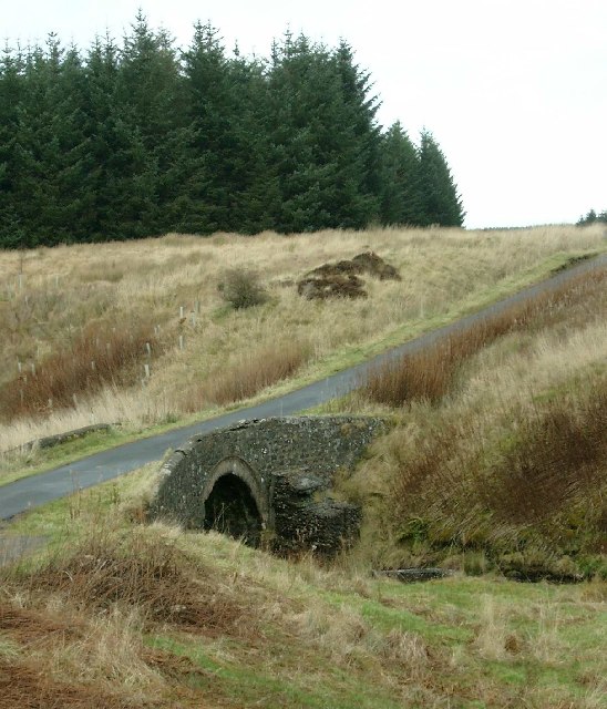
Braidley Moss is a wood located in Ayrshire, Scotland. Known for its picturesque landscape, it is a popular destination for nature enthusiasts, hikers, and birdwatchers. The moss is situated in a rural area, surrounded by rolling hills and farmland, providing a tranquil and peaceful atmosphere.

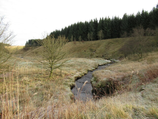
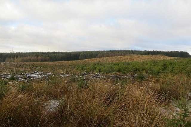
The wood itself is characterized by its dense canopy cover and diverse plant life. It is primarily composed of native tree species such as oak, beech, and birch, which create a beautiful mosaic of colors throughout the changing seasons. The forest floor is adorned with a variety of ferns, mosses, and wildflowers, adding to the area's natural charm.

Braidley Moss is also home to a variety of wildlife, making it a haven for nature lovers. Bird species such as woodpeckers, owls, and thrushes can be spotted throughout the wood, while mammals like squirrels and deer can often be seen foraging in the undergrowth. The wood provides an important habitat for these creatures and contributes to the overall biodiversity of the region.

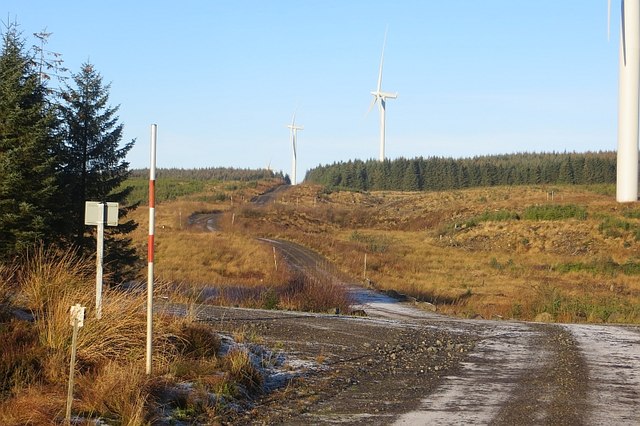
For those seeking outdoor activities, Braidley Moss offers several trails and paths that wind through the wood, allowing visitors to explore its beauty at their own pace. These paths are well-maintained and suitable for both casual strolls and more challenging hikes. The wood also features designated picnic areas, providing the perfect opportunity to relax and enjoy the peaceful surroundings.

In conclusion, Braidley Moss in Ayrshire is a stunning woodland area that offers a serene escape from the hustle and bustle of everyday life. With its diverse plant life, abundant wildlife, and well-maintained trails, it is a wonderful destination for nature lovers and outdoor enthusiasts alike.

If you have any feedback on the listing, please let us know in the comments section below.

Braidley Moss Images

Images are sourced within 2km of 55.646269/-4.2391886 or Grid Reference NS5941. Thanks to Geograph Open Source API. All images are credited.

Downstream view, Pogiven Burn A view from Pogiven Bridge, which has been rebuilt and strengthened, presumably for wind farm construction traffic.
Downstream view, Pogiven Burn
A view from Pogiven Bridge, which has been rebuilt and strengthened, presumably for wind farm construction traffic.
Clearing, Whitelee Forest Looking past one of Whitelee's turbines (off shot) to some of the newer, bigger Browncastle turbines outside the forest.
Clearing, Whitelee Forest
Looking past one of Whitelee's turbines (off shot) to some of the newer, bigger Browncastle turbines outside the forest.
Turbines, Rough Hill The 1:25,000 map shows this to be the southern extent of the road, but a branch has since appeared running further south. Diggers could be heard towards the end.
Turbines, Rough Hill
The 1:25,000 map shows this to be the southern extent of the road, but a branch has since appeared running further south. Diggers could be heard towards the end.
Road, Calder Moss A digger is at work on the skyline.
Road, Calder Moss
A digger is at work on the skyline.
Ride, Whitelee Forest Tussocky grass between two dense forestry blocks.
Ride, Whitelee Forest
Tussocky grass between two dense forestry blocks.
Henshaw Hill A short walk beyond a turbine gets into the square and a view over some replanted blocks of conifers.
Henshaw Hill
A short walk beyond a turbine gets into the square and a view over some replanted blocks of conifers.
Road, Whitelee Forest The road runs along the Lanarkshire / Ayrshire march.
Road, Whitelee Forest
The road runs along the Lanarkshire / Ayrshire march.
Road, Whitelee Forest Leading along the Lanarkshire / Ayrshire march towards a recent southwards extension of Whitelees Wind Farm.
Road, Whitelee Forest
Leading along the Lanarkshire / Ayrshire march towards a recent southwards extension of Whitelees Wind Farm.
Windshields farm
Windshields farm
Braidley Bridge over the Glen Water
Pogiven Bridge This bridge takes the single track dead end road over the Pogiven Burn and on up to High Overmuir Farm.
Pogiven Bridge
This bridge takes the single track dead end road over the Pogiven Burn and on up to High Overmuir Farm.
Low Overmuir Farm road end
Threap Syke A strangely named burn on Low Overmuir farm, it feeds into Glen Water and then to Darvel.
Threap Syke
A strangely named burn on Low Overmuir farm, it feeds into Glen Water and then to Darvel.
Lochfield Farm
Lochfield Farm
Ruined building on Lochfield farm This ruin is in its own fenced enclosure, presently fringed by two fallen trees.
Ruined building on Lochfield farm
This ruin is in its own fenced enclosure, presently fringed by two fallen trees.
Farm ruin Very old ruin in its own fenced enclosure.
Farm ruin
Very old ruin in its own fenced enclosure.
Fenced wooded enclosure This enclosure contains a ruined shell of a building.
Fenced wooded enclosure
This enclosure contains a ruined shell of a building.
Whitelee Forest A gap in Whitelee Forest on Rough Hill
Whitelee Forest
A gap in Whitelee Forest on Rough Hill
Show me another place!

Braidley Moss is located at Grid Ref: NS5941 (Lat: 55.646269, Lng: -4.2391886)

Unitary Authority: East Ayrshire

Police Authority: Ayrshire

What 3 Words

///greeting.dragonfly.excavated. Near Darvel, East Ayrshire

Nearby Locations

Braidley Moss

Related Wikis

Battle of Drumclog

The Battle of Drumclog was fought on 1 June 1679, between a group of Covenanters and the forces of John Graham of Claverhouse, at Drumclog, in South Lanarkshire...

Drumclog Moss

Drumclog Moss is a flat wilderness of broken bog and quagmire in Lanarkshire, Scotland. The Covenanters defeated Claverhouse's dragoons at the site in...
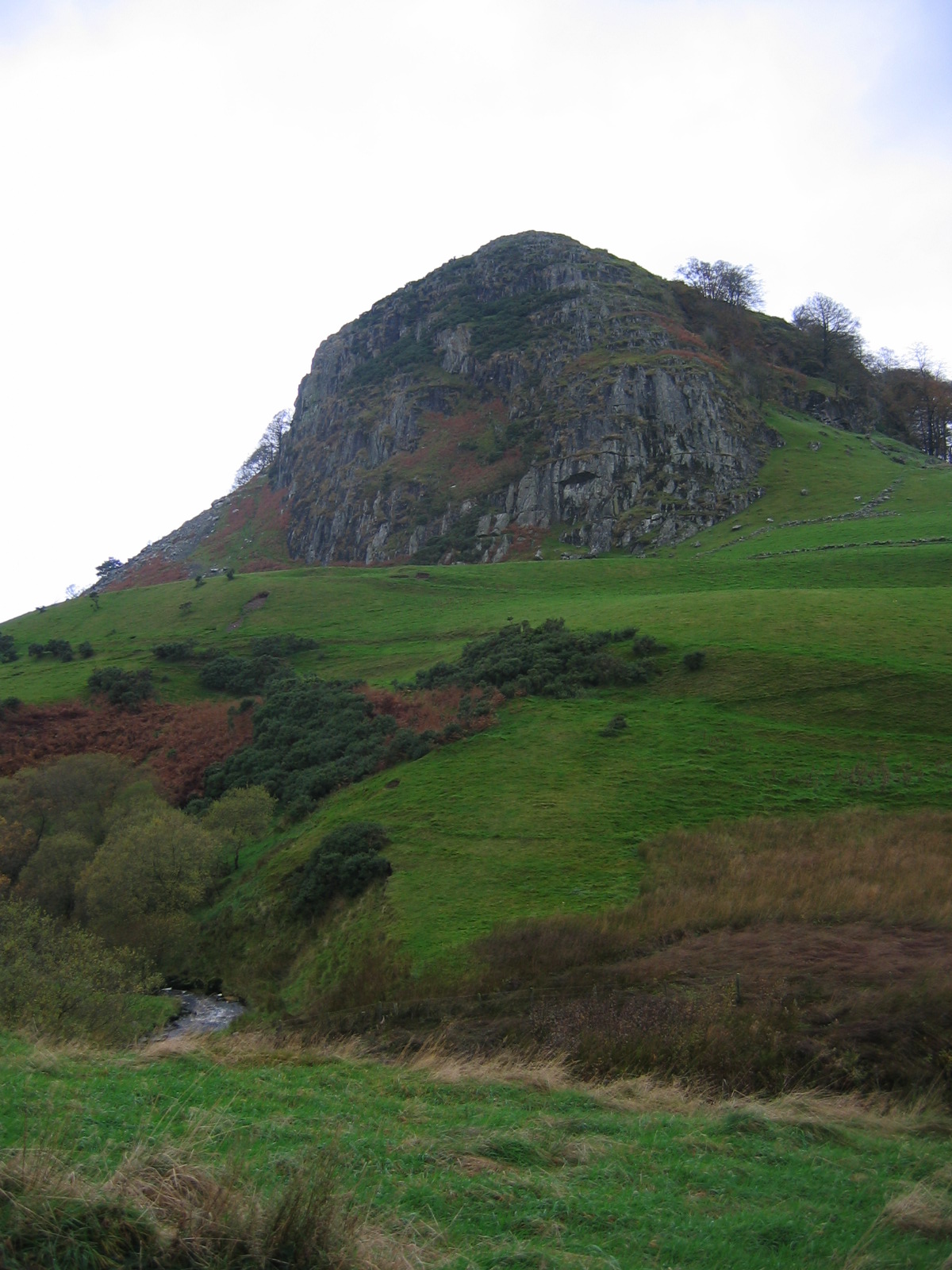
Loudoun Hill

Loudoun Hill (Scottish Gaelic: Beinn Lùghdain; also commonly Loudounhill) is a volcanic plug in East Ayrshire, Scotland. It is located near the head of...

Whitelee Wind Farm

Whitelee Wind Farm is a windfarm on the Eaglesham moor in Scotland. The main visitor centre is located in East Renfrewshire, but the majority of turbines...

Nearby Amenities

Located within 500m of 55.646269,-4.2391886
The data included in this document is from www.openstreetmap.org. The data is made available under ODbL.

Have you been to Braidley Moss?

Leave your review of Braidley Moss below (or comments, questions and feedback).