Broughmore Wood

Wood, Forest in Stirlingshire

Scotland

Broughmore Wood

Balgair Muir forest firebreak It is possible to walk through this firebreak which runs north-south
Balgair Muir forest firebreak Credit: AllanKnaik

The requested URL returned error: 429 Too Many Requests

If you have any feedback on the listing, please let us know in the comments section below.

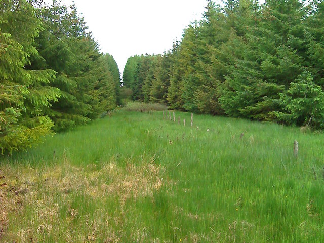
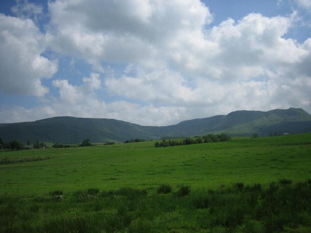
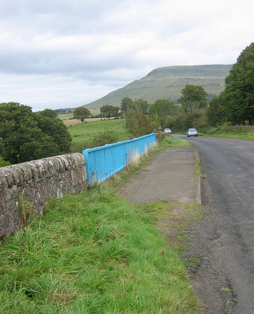
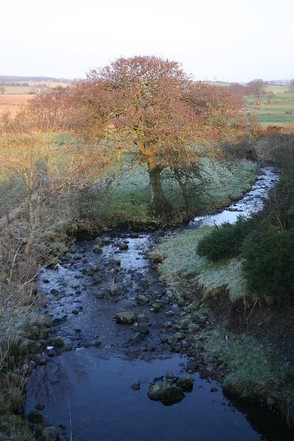
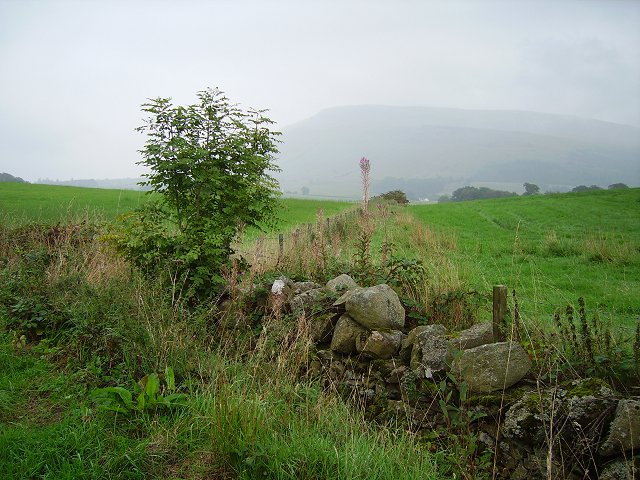
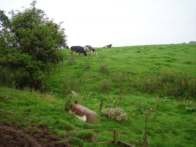
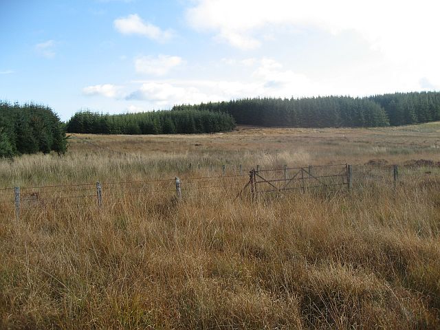
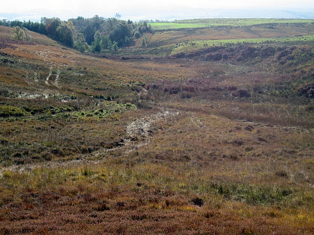
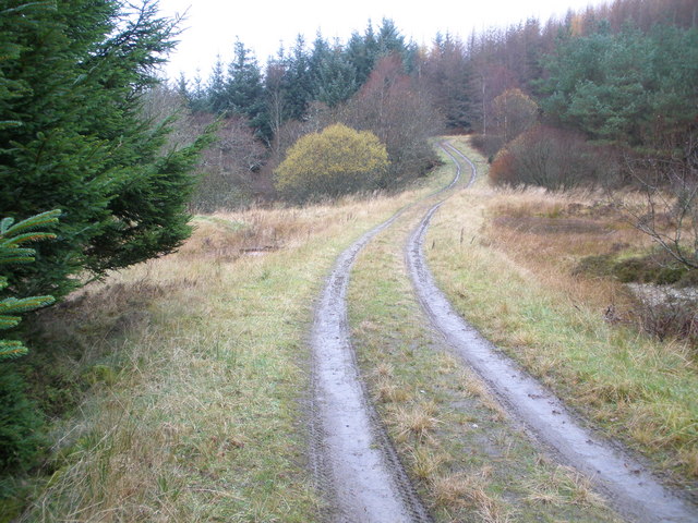
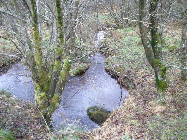
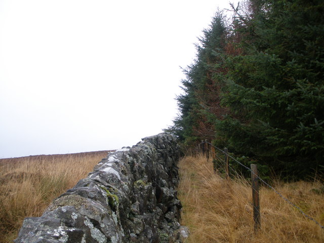
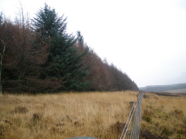
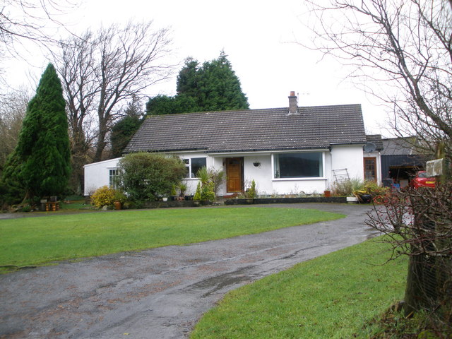
Broughmore Wood Images

Images are sourced within 2km of 56.076652/-4.268564 or Grid Reference NS5889. Thanks to Geograph Open Source API. All images are credited.

Balgair Muir forest firebreak It is possible to walk through this firebreak which runs north-south
Balgair Muir forest firebreak
It is possible to walk through this firebreak which runs north-south
The Great Corrie of Balglass Looking South from B818 towards the corrie in the Campsie Fells some 3km distant.
The Great Corrie of Balglass
Looking South from B818 towards the corrie in the Campsie Fells some 3km distant.
B818 near Fintry. Bridge on the road leading west from Fintry. Looking towards Fintry with Stronend in the background.
B818 near Fintry.
Bridge on the road leading west from Fintry. Looking towards Fintry with Stronend in the background.
Balglass Burn Looking NE from position
Balglass Burn
Looking NE from position
Hill of Balgair Dyke junction amongst grassland below the less fertile lands of Balgair Muir. The distant hill is Stronend above Fintry.
Hill of Balgair
Dyke junction amongst grassland below the less fertile lands of Balgair Muir. The distant hill is Stronend above Fintry.
Balgair Burn running off Balgair Moor. A damp morning but still showing off a fine berry crop.
Balgair
Burn running off Balgair Moor. A damp morning but still showing off a fine berry crop.
Road to Balfron Road heading away from Balgair in the direction of Balfron.
Road to Balfron
Road heading away from Balgair in the direction of Balfron.
The coupit bath Cattle ignore an old bath tub near Dalfoil. It was probably used once as a water trough, (and a bath).
The coupit bath
Cattle ignore an old bath tub near Dalfoil. It was probably used once as a water trough, (and a bath).
Driveway to Overton Farm Looking towards Dunmore, the hill above Fintry
Driveway to Overton Farm
Looking towards Dunmore, the hill above Fintry
Forest Edge
Forest Edge
Rough Moorland
Rough Moorland
Looking down the Holm Burn
Broughmore Farm Balfron
Track in the forest above Harvieston Farm
Small unnamed burn in the forest
Edge of the forest above Wester Balgair Farm
Forest edge above Wester Balgair Farm
Bungalow at Harvieston Farm
Show me another place!

Broughmore Wood is located at Grid Ref: NS5889 (Lat: 56.076652, Lng: -4.268564)

Unitary Authority: Stirling

Police Authority: Forth Valley

What 3 Words

///dinosaur.outsiders.segregate. Near Balfron, Stirling

Nearby Locations

Broughmore Wood

Related Wikis

Ballikinrain

Ballikinrain is an independent residential school in Stirling, central Scotland. It is run by CrossReach, a social care outreach arm of the Church of Scotland...

Culcreuch Castle

Culcreuch Castle is a Scottish castle close to the village of Fintry, near Loch Lomond. It had been the home of the Barons of Culcreuch since 1699. In...

Fintry

Fintry is a small riverside village in Stirlingshire, central Scotland. It is located 16 miles (26 km) south-west of Stirling and around 19 miles (31 km...

Balfron High School

Balfron High School is a secondary school situated in the village of Balfron, approximately 18 miles (29 km) west of Stirling and 16 miles (26 km) north...

Have you been to Broughmore Wood?

Leave your review of Broughmore Wood below (or comments, questions and feedback).