Boreland Wood

Wood, Forest in Kirkcudbrightshire

Scotland

Boreland Wood

Inlet, Knockbrex Bay Rock outcrops, almost covered by turf, at the side of an inlet on Knockbrex Bay. Knockbrex House can be seen over the coastal fields.
Inlet, Knockbrex Bay Credit: Jonathan Wilkins

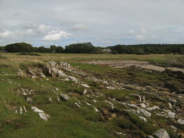
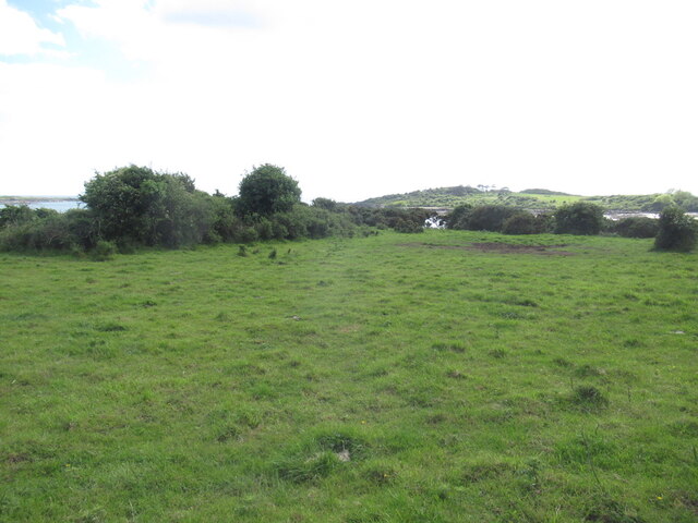
Boreland Wood is a beautiful woodland located in Kirkcudbrightshire, Scotland. It covers an area of approximately 100 acres and is known for its diverse range of flora and fauna. The wood is situated near the village of Boreland and is easily accessible to visitors.

The woodland is predominantly made up of native broad-leaved trees such as oak, birch, and beech, creating a rich and varied habitat. The canopy of the trees provides shelter for a wide range of bird species, including woodpeckers, owls, and various songbirds. It is a popular spot for birdwatchers who come to observe and listen to the melodic sounds of the woodland's avian inhabitants.

In addition to its avian population, Boreland Wood is also home to a variety of mammals, including red squirrels, badgers, and deer. The woodland provides an ideal habitat for these creatures, with its dense undergrowth and ample food sources. Visitors may be lucky enough to catch a glimpse of these elusive animals during their visit.

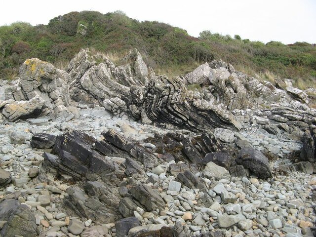
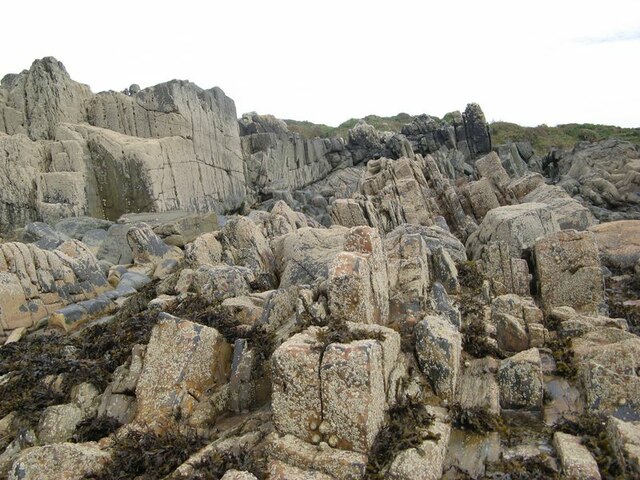
For nature enthusiasts, Boreland Wood offers several walking trails that wind through the trees, allowing visitors to explore the woodland at their own pace. The trails offer stunning views of the surrounding countryside, with glimpses of nearby lochs and rolling hills.

Boreland Wood is managed by the local forestry commission, who work to preserve the natural beauty of the area and ensure its sustainability for future generations. The woodland is a cherished local treasure and a haven for those seeking solace in nature.

If you have any feedback on the listing, please let us know in the comments section below.

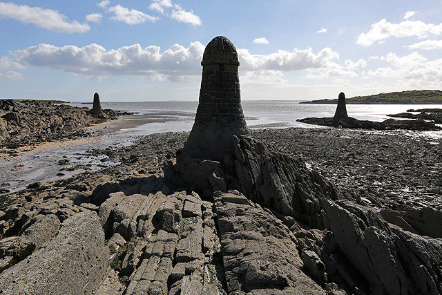
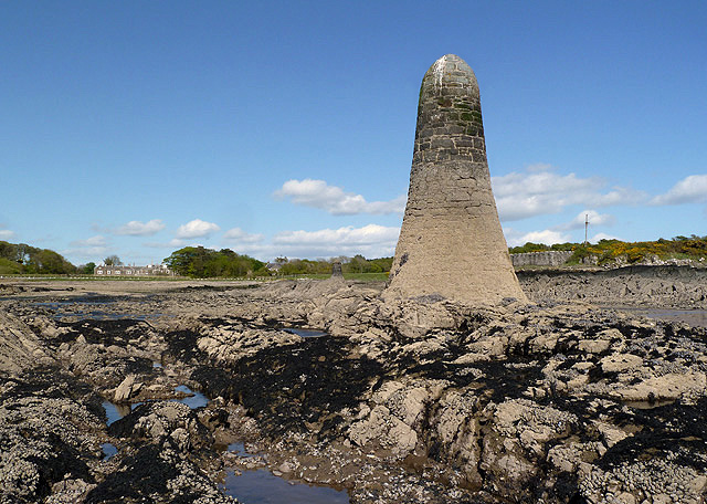
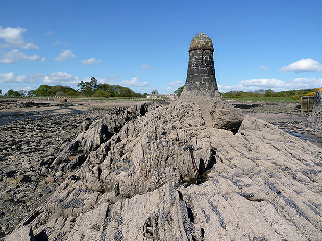
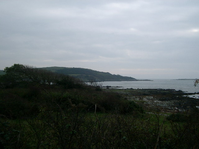
Boreland Wood Images

Images are sourced within 2km of 54.836438/-4.1995765 or Grid Reference NX5851. Thanks to Geograph Open Source API. All images are credited.

Inlet, Knockbrex Bay Rock outcrops, almost covered by turf, at the side of an inlet on Knockbrex Bay. Knockbrex House can be seen over the coastal fields.
Inlet, Knockbrex Bay
Rock outcrops, almost covered by turf, at the side of an inlet on Knockbrex Bay. Knockbrex House can be seen over the coastal fields.
Folded strata Rock outcrops on the shore are bedded greywackes belonging to the Kirkmaiden Formation, of Silurian (Llandovery) age. Their hardness and resistance to erosion is due to their state of metamorphism through deep burial during continental collision. The folding demonstrated here was caused by differential movement along faults separating adjacent slices of sediments as they were scraped off a descending oceanic plate (an "accretionary prism").
Folded strata
Rock outcrops on the shore are bedded greywackes belonging to the Kirkmaiden Formation, of Silurian (Llandovery) age. Their hardness and resistance to erosion is due to their state of metamorphism through deep burial during continental collision. The folding demonstrated here was caused by differential movement along faults separating adjacent slices of sediments as they were scraped off a descending oceanic plate (an "accretionary prism").
Upright strata Large areas of the foreshore here comprise vertically disposed beds of Silurian greywacke which show only gentle folding. See also <a href="https://www.geograph.org.uk/photo/6968175">NX5749 : Folded strata</a> for an interpretation of the disposition and nature of the rocks here.
Upright strata
Large areas of the foreshore here comprise vertically disposed beds of Silurian greywacke which show only gentle folding. See also NX5749 : Folded strata for an interpretation of the disposition and nature of the rocks here.
Coastal pasture, Knockbrex
Unused gate Unused gate on the Knockbrex Estate.
Unused gate
Unused gate on the Knockbrex Estate.
Navigation pillars at Knockbrex Bay Three pillars in the bay act as navigation markers for a small harbour at Knockbrex. This was viewed at low tide.
Navigation pillars at Knockbrex Bay
Three pillars in the bay act as navigation markers for a small harbour at Knockbrex. This was viewed at low tide.
A navigation pillar at Knockbrex Bay This is one of three pillars that act as navigation markers for a small harbour at Knockbrex. For a view of all three pillars, see <a href="https://www.geograph.org.uk/photo/3507589">NX5849 : Navigation pillars at Knockbrex Bay</a>.
A navigation pillar at Knockbrex Bay
This is one of three pillars that act as navigation markers for a small harbour at Knockbrex. For a view of all three pillars, see NX5849 : Navigation pillars at Knockbrex Bay.
A navigation pillar at Knockbrex Bay This is one of three pillars that act as navigation markers for a small harbour at Knockbrex. The harbour is just out of shot to the right. For a view of all three pillars, see <a href="https://www.geograph.org.uk/photo/3507589">NX5849 : Navigation pillars at Knockbrex Bay</a>.
A navigation pillar at Knockbrex Bay
This is one of three pillars that act as navigation markers for a small harbour at Knockbrex. The harbour is just out of shot to the right. For a view of all three pillars, see NX5849 : Navigation pillars at Knockbrex Bay.
Shore at Knockbrex looking across the mouth of Knockbrex bay to Bar Hill
Shore at Knockbrex
looking across the mouth of Knockbrex bay to Bar Hill
Flight of Geese  Coming or going it's always a nice sight
Flight of Geese
Coming or going it's always a nice sight
Navigation Pillars The Navigation Pillars at Knockbrex, as marked on OS Map
Navigation Pillars
The Navigation Pillars at Knockbrex, as marked on OS Map
Knockbrex Castle Knockbrex Castle sits near the shore at Knockbrex Bay.  It is not an ancient building but dates from 1900.  The building was based on Warwick Castle and was originally the garage block for Knockbrex House!
Knockbrex Castle
Knockbrex Castle sits near the shore at Knockbrex Bay. It is not an ancient building but dates from 1900. The building was based on Warwick Castle and was originally the garage block for Knockbrex House!
Wall at Knockbrex Castle This wall is to the right of the castle entrance.
Wall at Knockbrex Castle
This wall is to the right of the castle entrance.
Pebbly beach near Knockbrex. This photograph was taken when the tide was half full.  Ardwall Isle is in the distance.
Pebbly beach near Knockbrex.
This photograph was taken when the tide was half full. Ardwall Isle is in the distance.
An area of grass next to the beach This is an area of grass where cars can park beside the beach.  Murray's Isles can be seen in the distance. These are some of the Islands of Fleet.
An area of grass next to the beach
This is an area of grass where cars can park beside the beach. Murray's Isles can be seen in the distance. These are some of the Islands of Fleet.
Grass above the shoreline This grassy area is above a rocky shoreline near Knockbrex.  Ardwall Isle is to the left and Murray's Isles can be seen on the right.  The Machars is on the horizon.
Grass above the shoreline
This grassy area is above a rocky shoreline near Knockbrex. Ardwall Isle is to the left and Murray's Isles can be seen on the right. The Machars is on the horizon.
Disused Gateway, Knockbrex.
Doon Wood Cottage near Knockbrex, Borgue. Used to be known as Barlocco Croft
Doon Wood Cottage near Knockbrex, Borgue.
Used to be known as Barlocco Croft
Show me another place!

Boreland Wood is located at Grid Ref: NX5851 (Lat: 54.836438, Lng: -4.1995765)

Unitary Authority: Dumfries and Galloway

Police Authority: Dumfries and Galloway

What 3 Words

///musical.baroness.unpacked. Near Kirkcudbright, Dumfries & Galloway

Nearby Locations

Boreland Wood

Related Wikis

Plunton Castle

Plunton Castle is a ruined L-plan tower house between Kirkandrews and Gatehouse of Fleet in Dumfries and Galloway, Scotland. Built around 1575 for the...

Girthon Old Parish Church

Girthon Old Parish Church is a ruined ecclesiastical building in Girthon, near Gatehouse of Fleet in Dumfries and Galloway. Built around 1620 on the foundations...

Corseyard Farm

Corseyard Farm, known locally as the Coo Palace and now marketed under that name, is an architecturally unusual dairy farm near Kirkandrews in Scotland...

Kirkandrews, Dumfries and Galloway

Kirkandrews, sometimes written as Kirkanders in older documents, is a coastal hamlet about 9 kilometres (6 mi) west-southwest of Kirkcudbright in Dumfries...

Ardwall House

Ardwall House is an eighteenth-century mansion near Gatehouse of Fleet in Dumfries and Galloway, Scotland. Built in 1762 for the McCullochs of Ardwall...

Cally Palace

Cally Palace, formerly known as Cally House, is an 18th-century country house in the historical county of Kirkcudbrightshire in Dumfries and Galloway...

Water of Fleet

The Water of Fleet is a river in Scotland flowing into Fleet Bay on the Solway Firth. Its two tributaries are the Big Water of Fleet, which begins around...

Cardoness Castle

Cardoness Castle is a well-preserved 15th-century tower house just south west of Gatehouse of Fleet, in the historical county of Kirkcudbrightshire in...

Nearby Amenities

Located within 500m of 54.836438,-4.1995765
Power: pole
Lat/Long: 54.8391545/-4.205412
Power: pole
Lat/Long: 54.8383312/-4.2049499
Power: pole
Lat/Long: 54.8378153/-4.2051015
Power: pole
Lat/Long: 54.8372403/-4.2057967
Power: pole
Lat/Long: 54.8366747/-4.2064289
Power: pole
Lat/Long: 54.8354561/-4.2066108
The data included in this document is from www.openstreetmap.org. The data is made available under ODbL.

Have you been to Boreland Wood?

Leave your review of Boreland Wood below (or comments, questions and feedback).