Cardonald
Settlement in Renfrewshire
Scotland
Cardonald

Cardonald is a residential suburb located in the southwestern part of Glasgow, Scotland, within the council area of Renfrewshire. It is situated approximately 5 miles from the city center and has a population of around 10,000 people. The area is well-connected to the rest of Glasgow through various transportation links, including regular bus services and nearby train stations.
Cardonald is known for its peaceful and family-friendly atmosphere, making it an ideal place to reside. The housing in the area consists of a mix of traditional tenement buildings, modern apartment complexes, and detached houses. There are also several green spaces and parks, such as Househill Park and Rosshall Park, providing residents with recreational opportunities and leisure activities.
The suburb has a range of amenities, including local shops, supermarkets, and restaurants, ensuring that residents have easy access to essential goods and services. Additionally, the nearby Silverburn Shopping Centre offers a wider selection of high street stores and entertainment options.
Education is well-catered for in Cardonald, with several primary and secondary schools located within the area. The nearby Cardonald College provides further education and vocational courses, offering opportunities for skill development and career advancement.
Overall, Cardonald is a peaceful and well-connected suburb, providing a comfortable living environment with a range of amenities and educational facilities.
If you have any feedback on the listing, please let us know in the comments section below.
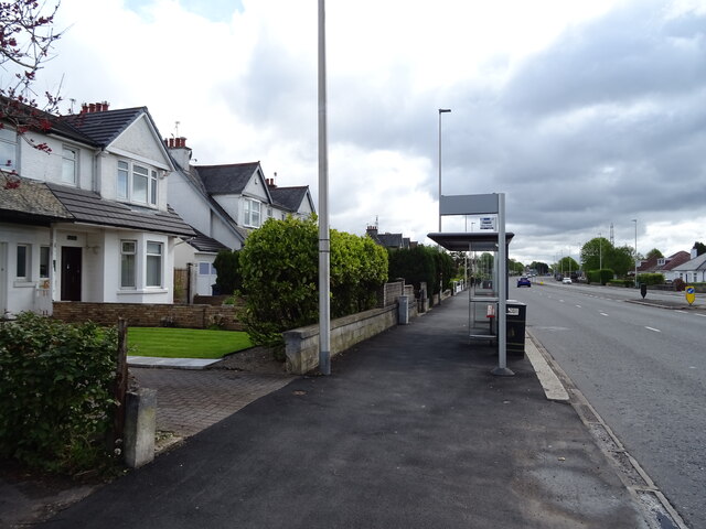
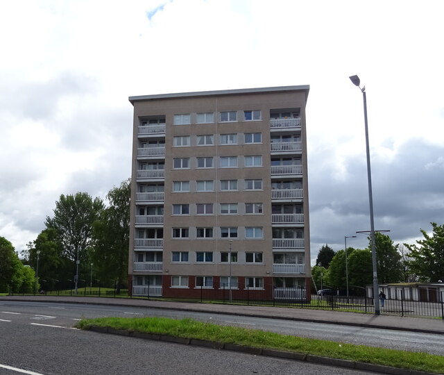
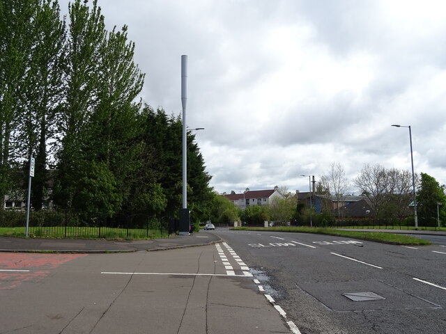
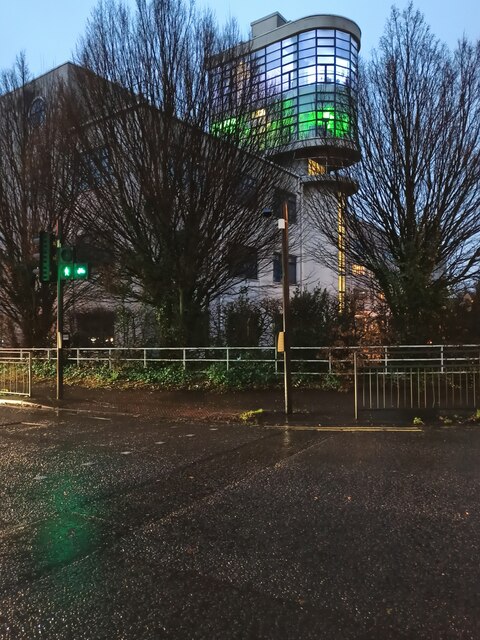
Cardonald Images
Images are sourced within 2km of 55.848456/-4.3601755 or Grid Reference NS5264. Thanks to Geograph Open Source API. All images are credited.


Cardonald is located at Grid Ref: NS5264 (Lat: 55.848456, Lng: -4.3601755)
Unitary Authority: City of Glasgow
Police Authority: Greater Glasgow
What 3 Words
///rocky.play.invite. Near Renfrew, Renfrewshire
Nearby Locations
Related Wikis

Hillington, Scotland
Hillington (Scots: Hullintoun, Scottish Gaelic: Hileantan) is an area on the southwestern edge of the Scottish city of Glasgow comprising a residential...
St Nicholas' Cardonald Church
The Parish Church of Saint Nicholas, also known as St Nicholas' Cardonald, is a 20th century Parish church of the Church of Scotland, located in the Hillington...
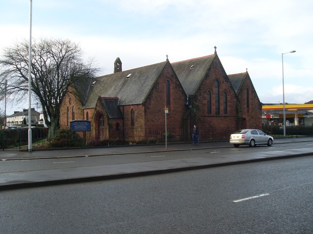
Cardonald Parish Church
Cardonald Parish Church is a 19th-century Parish church of the Church of Scotland, located in the Cardonald area of Glasgow. == History of the Congregation... ==

Cardonald
Cardonald (; Scots: Cardonal, Scottish Gaelic: Cair Dhòmhnaill) is an outlying suburb of the Scottish city of Glasgow. Formerly a village in its own right...
Nearby Amenities
Located within 500m of 55.848456,-4.3601755Have you been to Cardonald?
Leave your review of Cardonald below (or comments, questions and feedback).