Slateford Plantation
Wood, Forest in Ayrshire
Scotland
Slateford Plantation
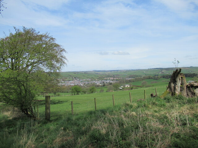
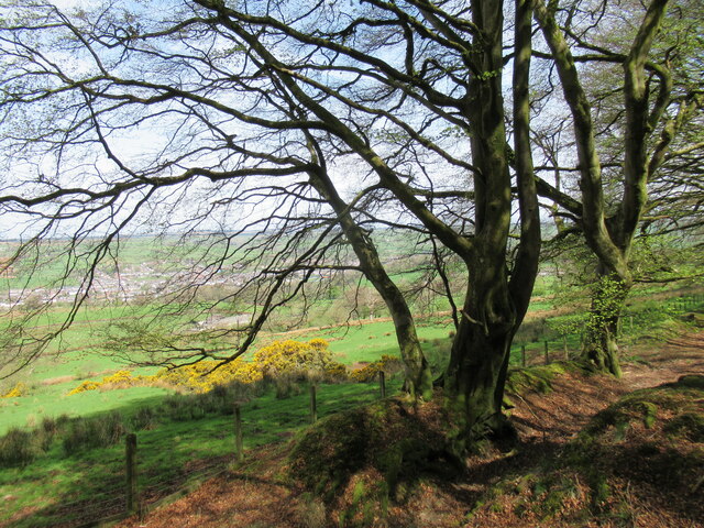
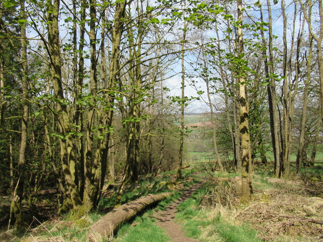
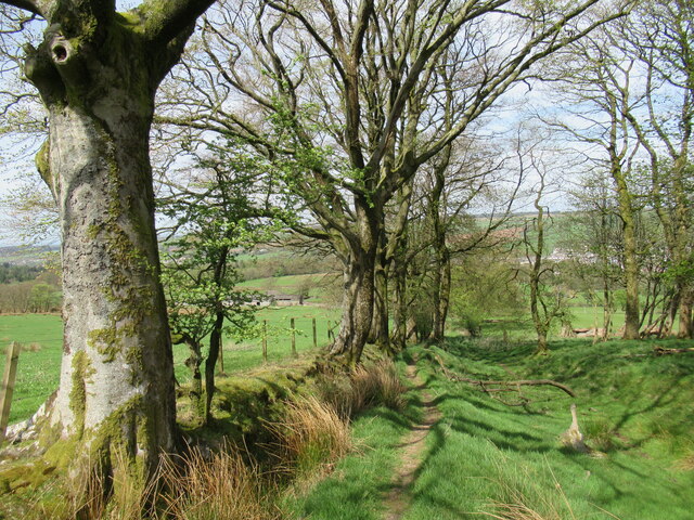
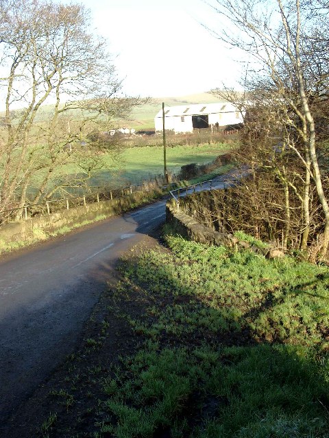
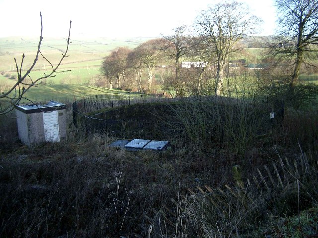
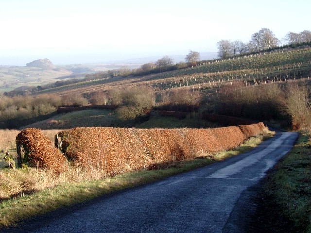
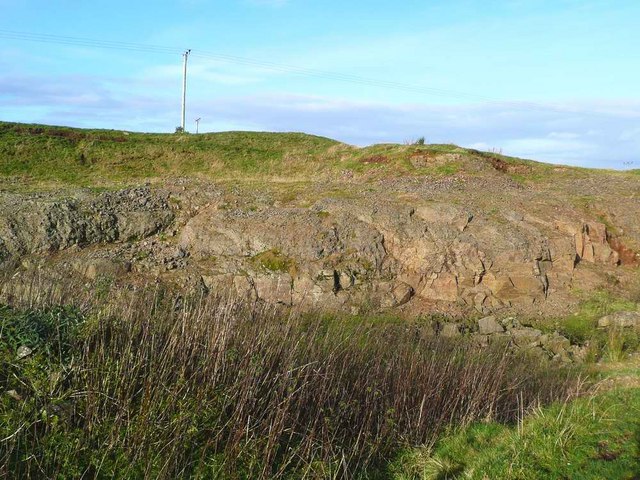
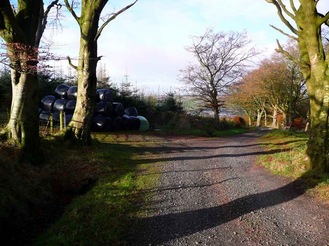
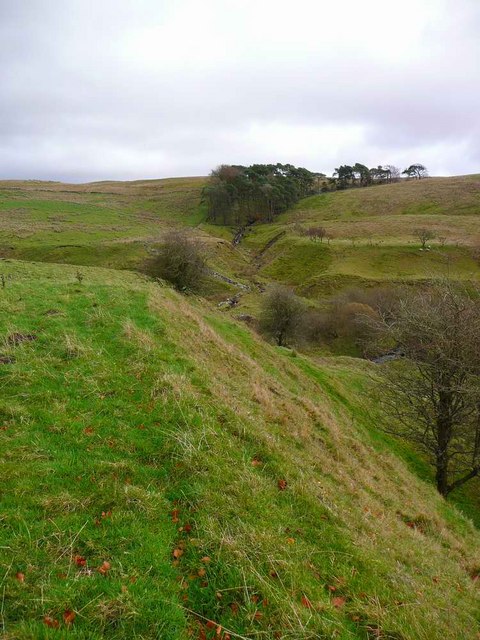
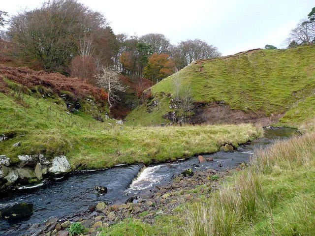
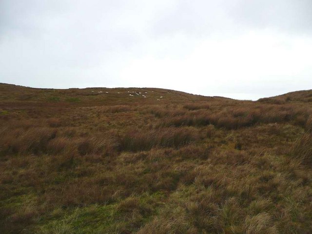
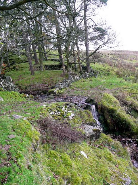
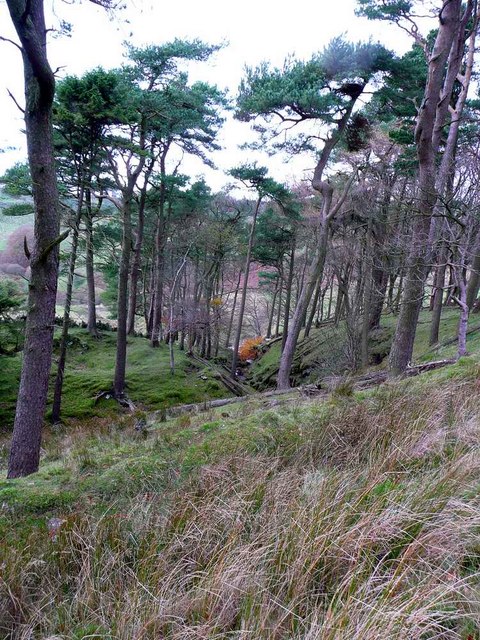
Slateford Plantation is a picturesque woodland located in Ayrshire, Scotland. Covering an area of approximately 200 acres, the plantation is known for its diverse range of tree species including oak, beech, and Scots pine. The woodland is a popular destination for nature lovers and outdoor enthusiasts, offering a tranquil setting for walking, birdwatching, and wildlife spotting.
Slateford Plantation features well-maintained trails that wind through the dense forest, providing visitors with the opportunity to explore the natural beauty of the area. The woodland is also home to a variety of wildlife, including deer, squirrels, and numerous bird species.
In addition to its natural attractions, Slateford Plantation has historical significance as well. The site was once part of a larger estate owned by a prominent local family, and remnants of the estate's past can still be seen throughout the woodland.
Overall, Slateford Plantation is a serene and captivating destination for those looking to escape the hustle and bustle of city life and immerse themselves in the beauty of nature.
If you have any feedback on the listing, please let us know in the comments section below.
Slateford Plantation Images
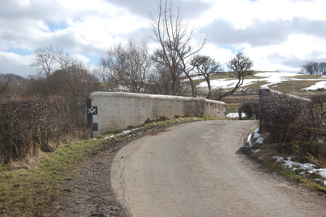
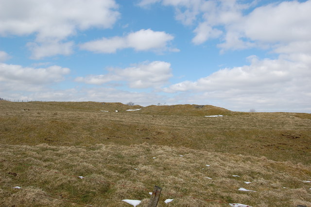
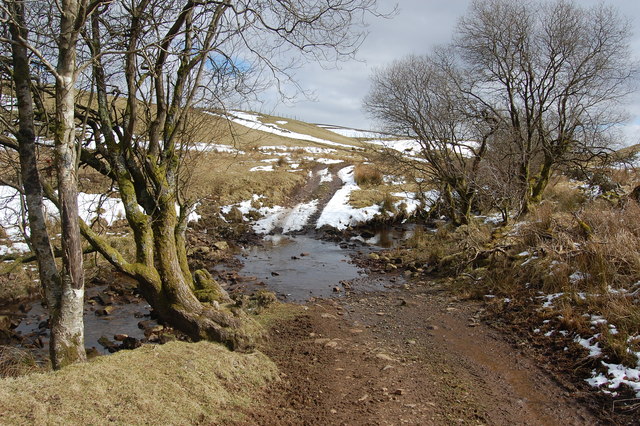
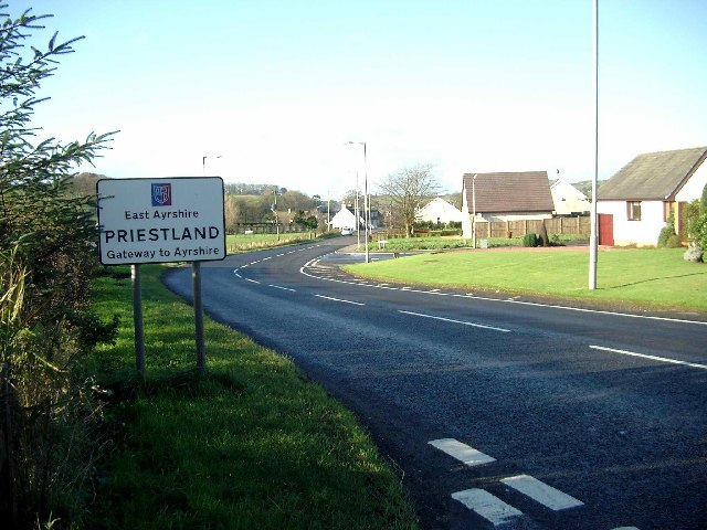
Images are sourced within 2km of 55.591273/-4.2583052 or Grid Reference NS5735. Thanks to Geograph Open Source API. All images are credited.
Slateford Plantation is located at Grid Ref: NS5735 (Lat: 55.591273, Lng: -4.2583052)
Unitary Authority: East Ayrshire
Police Authority: Ayrshire
What 3 Words
///bristle.headed.pesky. Near Darvel, East Ayrshire
Nearby Locations
Related Wikis

Priestland
Priestland is a village in East Ayrshire, Scotland. It has a population of 121 (Census 2001) and lies on the A71, around two miles west of Loudoun Hill...
Darvel F.C.
Darvel Football Club are a Scottish football club based in the town of Darvel, Ayrshire. Nicknamed "The Vale" and formed in 1889, the club play at Recreation...
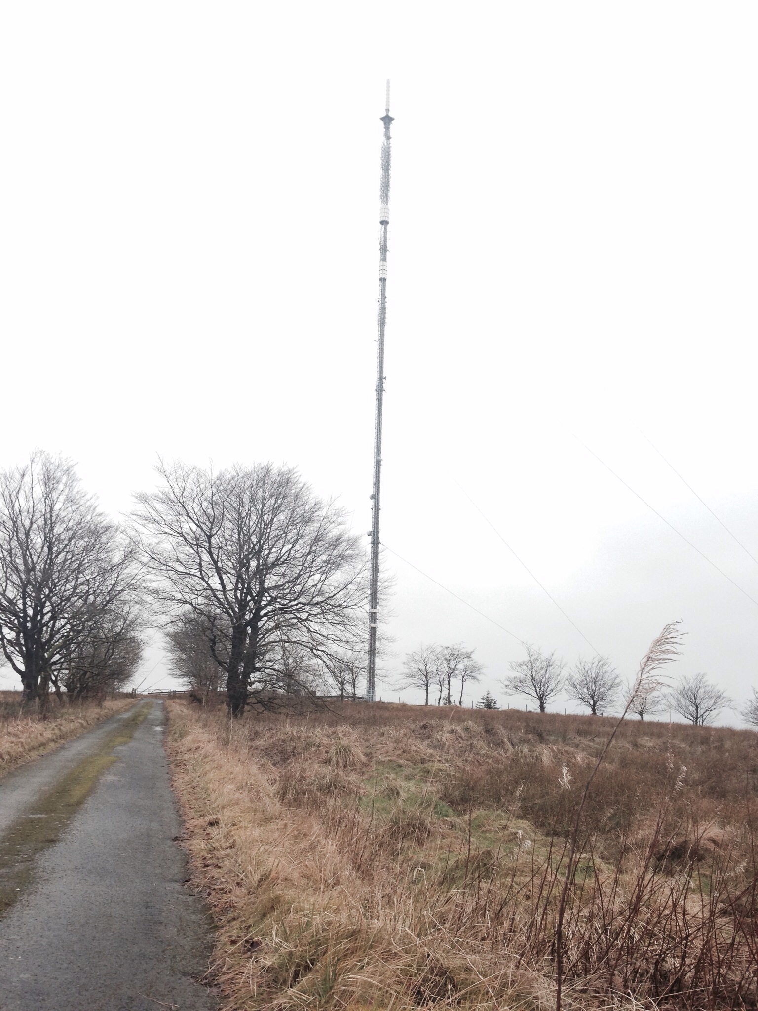
Darvel transmitting station
Darvel transmitting station is a broadcasting and telecommunications facility located near Darvel, East Ayrshire, Scotland (grid reference NS5567234132...

Kilmarnock and Loudoun (UK Parliament constituency)
Kilmarnock and Loudoun is a county constituency of the House of Commons of the Parliament of the United Kingdom. It elects one Member of Parliament (MP...
Have you been to Slateford Plantation?
Leave your review of Slateford Plantation below (or comments, questions and feedback).