Broom Braes
Wood, Forest in Ayrshire
Scotland
Broom Braes
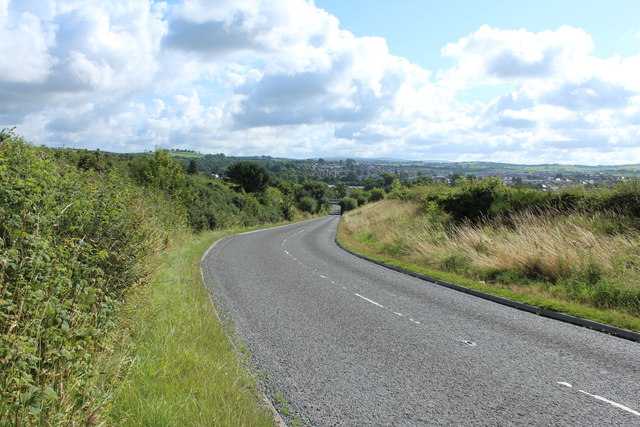
![Site of Cumnock station View SE on the A76 leaving Cumnock, where the ex-Glasgow &amp; South Western line from Ayr via Annbank and Drongan (to the right) - (to the left) Cronberry and Muirkirk used to cross by an overbridge. The station had been on the right: it was closed along with the line Annbank - Drongan - Cronberry from 10/9/51 to passengers, 1/7/59 to goods. (See also <a href="https://www.geograph.org.uk/photo/3233133">NS4024 : Junction at site of Annbank station, 1994</a>). [Apologies for an uninspiring scene].](https://s2.geograph.org.uk/geophotos/03/35/94/3359410_7855e0da.jpg)
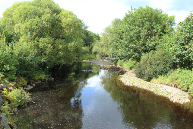
Broom Braes is a picturesque wood located in Ayrshire, Scotland. Spanning over a vast area, it is known for its lush greenery, diverse flora, and tranquil atmosphere. The wood is situated near the town of Ayr, making it easily accessible for both locals and tourists.
Broom Braes is a haven for nature enthusiasts, offering a wide range of activities to enjoy. Walking trails meander through the wood, allowing visitors to immerse themselves in the beauty of the surroundings. These trails are well-maintained, making it easy for hikers of all levels to explore the area.
The wood boasts a rich variety of trees, including oak, birch, and pine, which provide a habitat for numerous species of wildlife. Birdwatchers can spot various avian species, such as woodpeckers, jays, and finches, while nature lovers might come across rabbits, squirrels, and deer. The wood is also home to a diverse array of plant life, with bluebells and wildflowers adding a burst of color during the spring and summer months.
Broom Braes offers a peaceful retreat from the hustle and bustle of everyday life. Its serene atmosphere, coupled with the gentle rustling of leaves and the occasional chirping of birds, creates a sense of tranquility that can be truly rejuvenating. Whether one seeks solitude, a family picnic, or a leisurely stroll, Broom Braes provides a natural escape that is sure to captivate visitors of all ages.
If you have any feedback on the listing, please let us know in the comments section below.
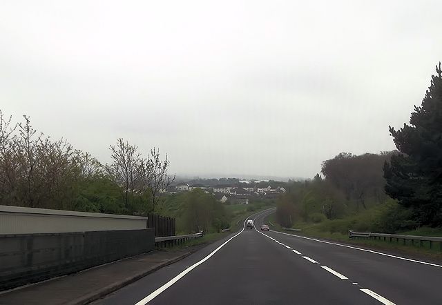
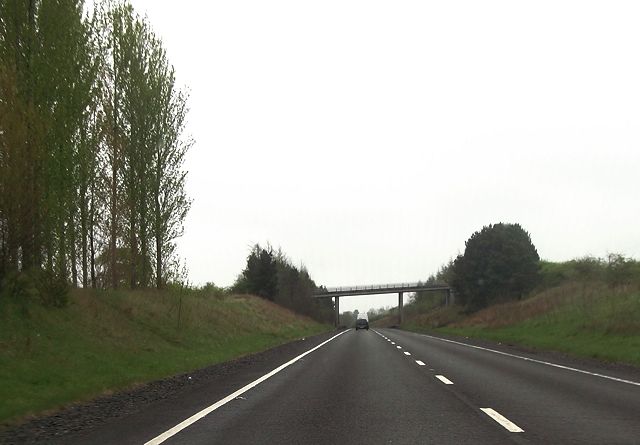
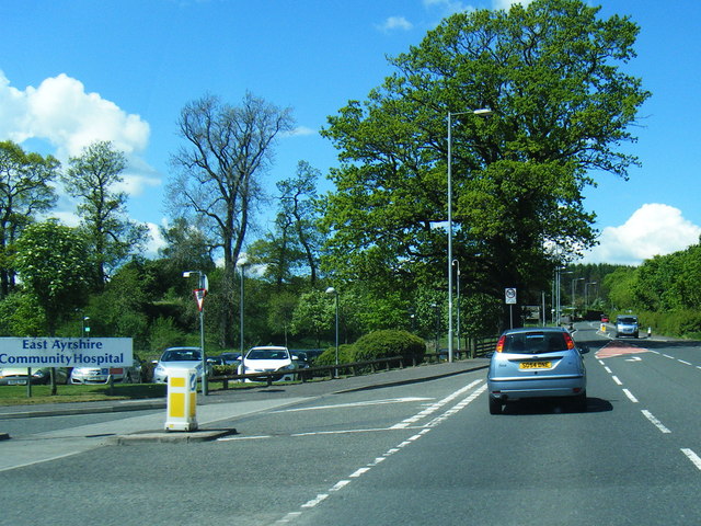
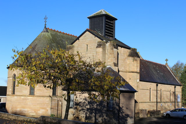
Broom Braes Images
Images are sourced within 2km of 55.460258/-4.2553007 or Grid Reference NS5720. Thanks to Geograph Open Source API. All images are credited.


Broom Braes is located at Grid Ref: NS5720 (Lat: 55.460258, Lng: -4.2553007)
Unitary Authority: East Ayrshire
Police Authority: Ayrshire
What 3 Words
///curries.blaring.lotteries. Near Cumnock, East Ayrshire
Nearby Locations
Related Wikis


Nearby Amenities
Located within 500m of 55.460258,-4.2553007Have you been to Broom Braes?
Leave your review of Broom Braes below (or comments, questions and feedback).