Smithy Wood
Wood, Forest in Stirlingshire
Scotland
Smithy Wood
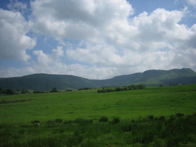
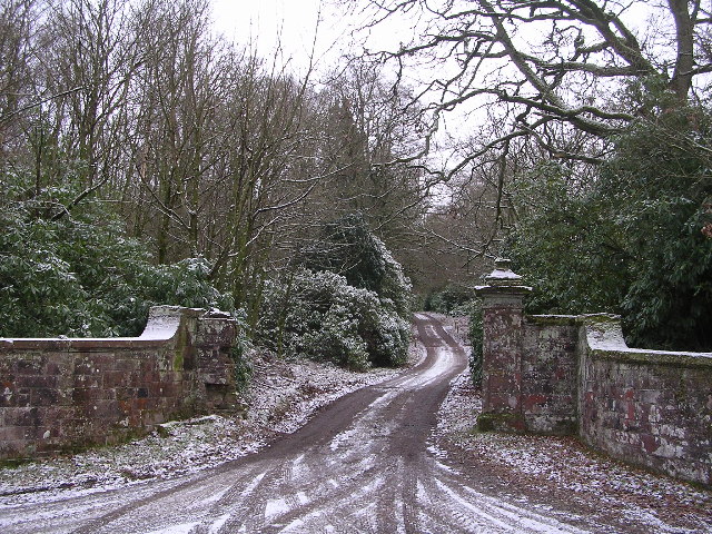
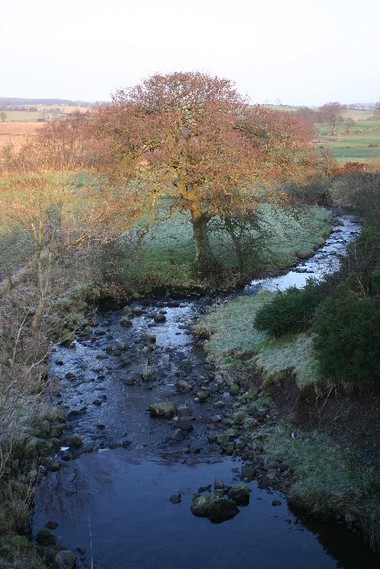
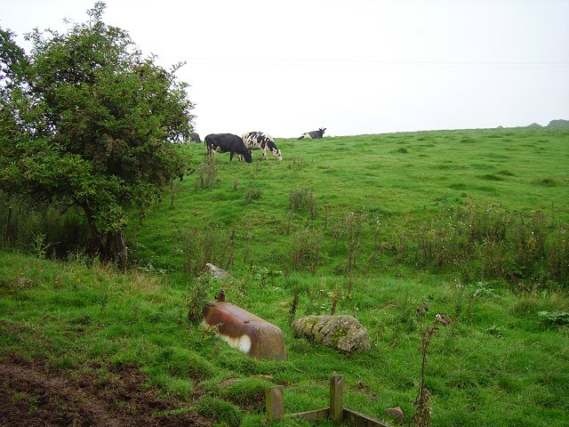
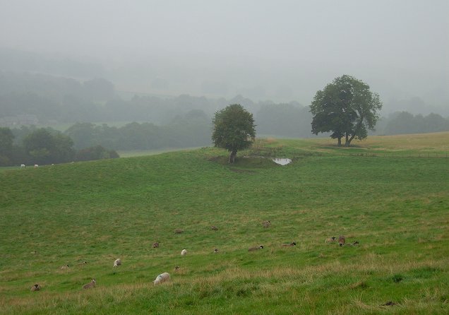
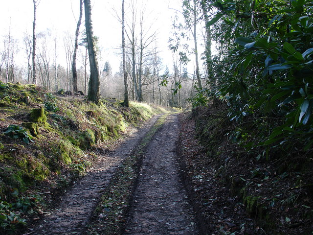
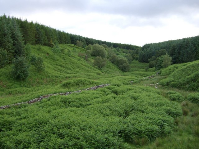
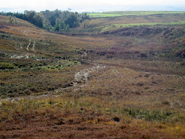
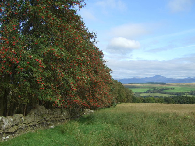
Smithy Wood is a beautiful forest located in Stirlingshire, Scotland. It covers an area of approximately 150 acres and is home to a diverse range of flora and fauna. The wood is predominantly made up of native species such as oak, birch, and pine trees, creating a lush and vibrant environment.
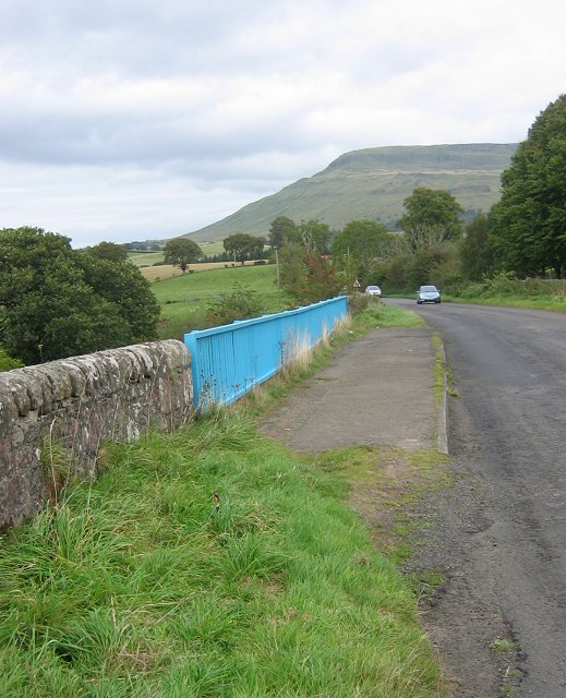
The wood is a popular destination for nature lovers and outdoor enthusiasts, offering a network of well-maintained walking trails that wind through the forest. Visitors can enjoy peaceful walks, birdwatching, and picnicking in the tranquil surroundings of Smithy Wood.
In addition to its natural beauty, Smithy Wood also has a rich cultural history. The wood was once home to a traditional blacksmith's forge, hence its name, and remnants of this industrial past can still be seen throughout the forest.
Smithy Wood is a valuable green space for the local community, providing a place for relaxation, recreation, and education. It is managed by the Stirlingshire Forestry Commission, who work to preserve and protect this important natural resource for future generations to enjoy.
If you have any feedback on the listing, please let us know in the comments section below.
Smithy Wood Images
Images are sourced within 2km of 56.063051/-4.2915883 or Grid Reference NS5787. Thanks to Geograph Open Source API. All images are credited.


Smithy Wood is located at Grid Ref: NS5787 (Lat: 56.063051, Lng: -4.2915883)
Unitary Authority: Stirling
Police Authority: Forth Valley
What 3 Words
///beeline.cheerful.cuddled. Near Balfron, Stirling
Nearby Locations
Related Wikis

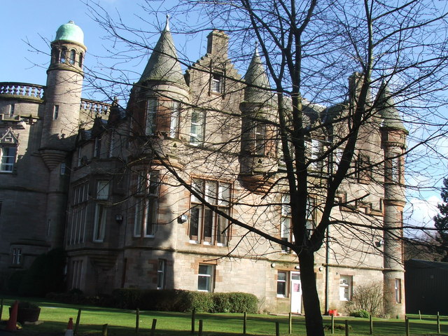
Ballikinrain
Ballikinrain is an independent residential school in Stirling, central Scotland. It is run by CrossReach, a social care outreach arm of the Church of Scotland...

Balfron High School
Balfron High School is a secondary school situated in the village of Balfron, approximately 18 miles (29 km) west of Stirling and 16 miles (26 km) north...

Balfron
Balfron (Scottish Gaelic: Both Fron) is a village in the Stirling council area of Scotland. It is situated near Endrick Water on the A875 road, 18 miles...

Boquhan
Boquhan (pronounced Bowhan) is a hamlet in Stirling, Scotland, sometimes known as Wester Boquhan to distinguish it from the other nearby Boquhan, near...
Nearby Amenities
Located within 500m of 56.063051,-4.2915883Have you been to Smithy Wood?
Leave your review of Smithy Wood below (or comments, questions and feedback).