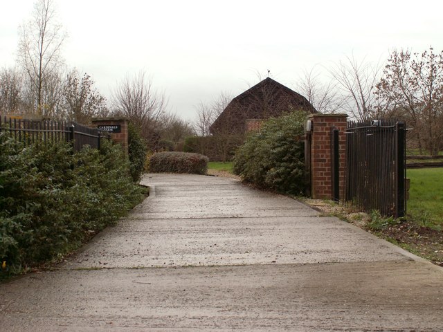
Cardinal's Green
Settlement in Cambridgeshire South Cambridgeshire
England
Cardinal's Green
Cardinal's Green is a small village located in the county of Cambridgeshire, England. Situated approximately 10 miles south of the city of Cambridge, it falls within the administrative district of South Cambridgeshire.
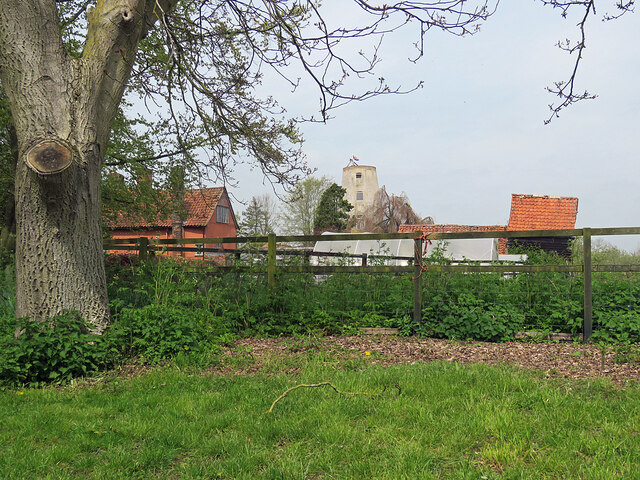
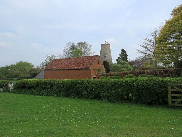
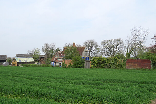
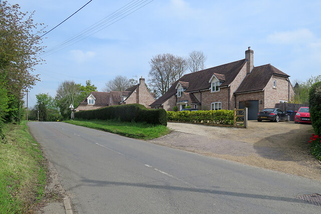
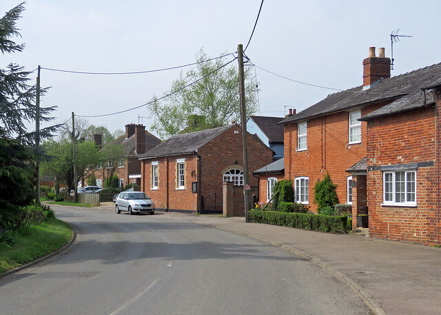
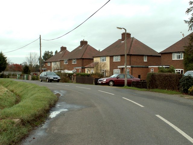
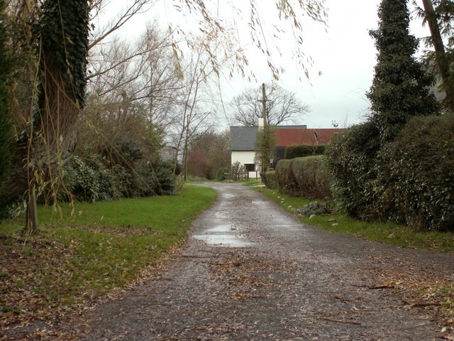
The village is known for its picturesque rural setting, characterized by rolling green fields, lush meadows, and charming country lanes. It is surrounded by a rich agricultural landscape, with farms and fields dominating the area.
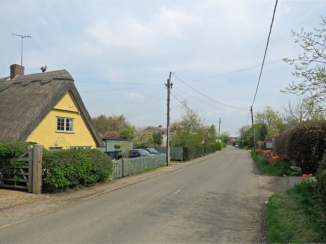
Cardinal's Green has a small and close-knit community, with a population of around 200 residents. The village primarily consists of traditional stone cottages and houses, giving it a quaint and timeless feel. Many of these properties boast beautiful gardens, adding to the village's overall charm.
The heart of Cardinal's Green is its village green, a well-maintained open space that serves as a focal point for community events and gatherings. The green is also home to a playground, offering recreational activities for children.
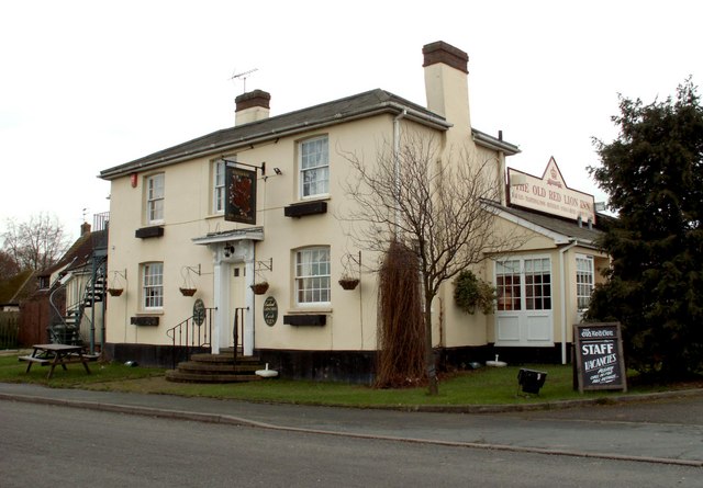
Although small in size, Cardinal's Green benefits from its proximity to nearby amenities. The village has a local pub, providing a social hub for residents and visitors alike. Additionally, the bustling city of Cambridge is just a short drive away, offering a wide range of amenities, including shops, restaurants, and cultural attractions.
Cardinal's Green is an idyllic and peaceful village that offers a tranquil escape from the hustle and bustle of city life, making it an attractive place to live for those seeking a rural lifestyle with convenient access to urban amenities.
If you have any feedback on the listing, please let us know in the comments section below.
Cardinal's Green Images
Images are sourced within 2km of 52.092684/0.36119 or Grid Reference TL6146. Thanks to Geograph Open Source API. All images are credited.
![Horseheath: the rear of Hartford House "House, formerly rectory, c 1700, extended on west side C19. Timber-framed [and] plaster rendered with hipped tiled roof and wood eaves" (Grade II listing). The picture was taken from All Saints' churchyard as a spring morning turned cloudy.](https://s0.geograph.org.uk/geophotos/07/46/96/7469652_da1c05bb.jpg)
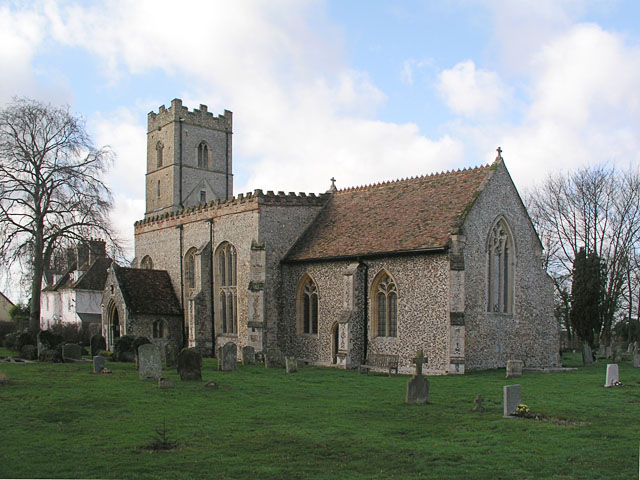
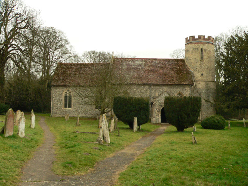
![Horseheath: All Saints - north side The church dates from the 14th and 15th centuries and was much restored in the 19th. "Nave without aisles Perp, a fine impression inside, with very large three-light transomed windows - a veritable glasshouse. The height of the nave was brought down [see evidence of the former roof line on the east wall of the tower] and brick battlements put up" (Nikolaus Pevsner).](https://s0.geograph.org.uk/geophotos/07/46/96/7469668_283c07e3.jpg)
![Horseheath: All Saints - south side The church dates from the 14th and 15th centuries and was much restored in the 19th. "Nave without aisles Perp, a fine impression inside, with very large three-light transomed windows - a veritable glasshouse. The height of the nave was brought down [see evidence of the former roof line on the east wall of the tower] and brick battlements put up" (Nikolaus Pevsner).](https://s0.geograph.org.uk/geophotos/07/46/96/7469672_b4f18483.jpg)


Cardinal's Green is located at Grid Ref: TL6146 (Lat: 52.092684, Lng: 0.36119)
Administrative County: Cambridgeshire
District: South Cambridgeshire
Police Authority: Cambridgeshire
What 3 Words
///whisk.clocking.update. Near Haverhill, Suffolk
Nearby Locations
Related Wikis

Horseheath
Horseheath is a village in Cambridgeshire, England, situated a few miles south-east of Cambridge, between Linton and Haverhill, on the A1307 road. It was...

Over and Lawn Woods
Over and Lawn Woods is a 43.3-hectare (107-acre) biological Site of Special Scientific Interest north-west of Haverhill in Suffolk. It is listed by Natural...

West Wickham, Cambridgeshire
West Wickham is a village and civil parish in South Cambridgeshire, England, 10 miles south-east of Cambridge on the border with Suffolk. == History... ==
Bartlow
Bartlow is a small village and civil parish in the South Cambridgeshire district of Cambridgeshire, England, about 12 miles (19 km) south-east of Cambridge...

Castle Camps (village)
Castle Camps is a village and civil parish in the South Cambridgeshire district, in the county of Cambridgeshire, England. It is 15 miles (24 km) south...
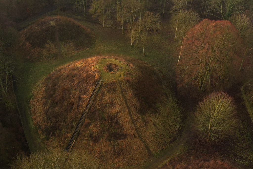
Bartlow Hills
Bartlow Hills is a Roman tumuli cemetery in Bartlow, Cambridgeshire, England. The site was in Essex until a boundary alteration in 1990. Four of the original...
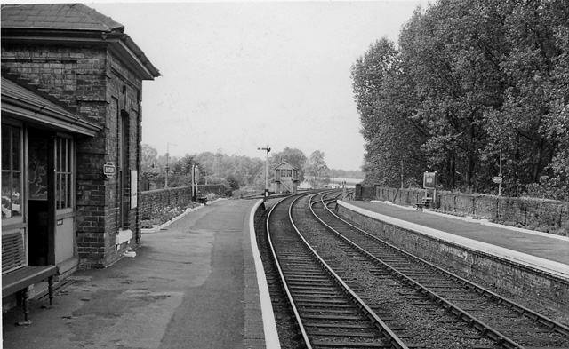
Bartlow railway station
Bartlow railway station was a station in Bartlow, Cambridgeshire on the Stour Valley Railway at the junction with the Saffron Walden Railway. There were...
Castle Camps
Castle Camps was a Norman Castle located in what is now the civil parish of Castle Camps, Cambridgeshire. == Owners == Castle Camps was originally a Saxon...
Nearby Amenities
Located within 500m of 52.092684,0.36119Have you been to Cardinal's Green?
Leave your review of Cardinal's Green below (or comments, questions and feedback).