Greenbank Plantation

Wood, Forest in Ayrshire

Scotland

Greenbank Plantation

Foulpapple Road at Knevocklaw Foulpapple Road heads uphill at left. Across the road is the farm road to Knevocklaw.
Foulpapple Road at Knevocklaw Credit: Alec MacKinnon

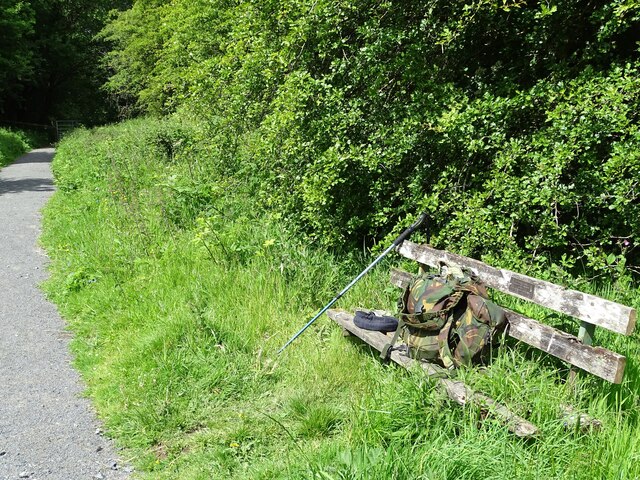
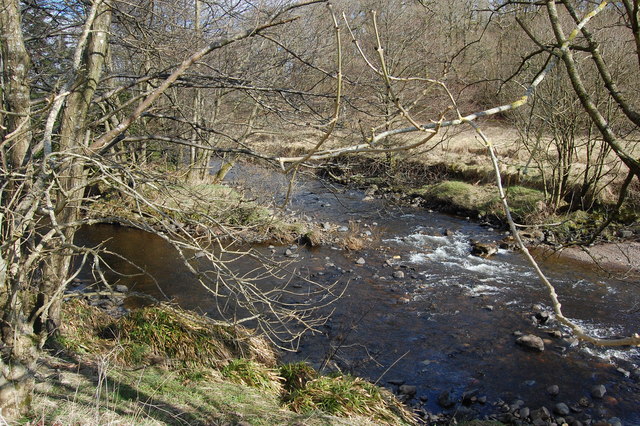
Greenbank Plantation is a historic woodland located in Ayrshire, Scotland. Covering an area of approximately 200 acres, the plantation is known for its diverse range of tree species including oak, beech, and pine. The woodland has been well-maintained over the years, with winding paths and trails allowing visitors to explore the natural beauty of the area.

Greenbank Plantation is home to a variety of wildlife, including deer, squirrels, and a wide range of bird species. The woodland provides a tranquil and peaceful environment for nature enthusiasts and hikers to enjoy the sights and sounds of the forest.

The plantation also has a rich history, dating back to the 18th century when it was originally established as a working estate. Today, it is managed by a conservation group dedicated to preserving and protecting the natural environment of the woodland.

Visitors to Greenbank Plantation can enjoy a leisurely stroll through the forest, taking in the sights of the towering trees and lush undergrowth. The woodland offers a peaceful retreat from the hustle and bustle of everyday life, making it a popular destination for outdoor enthusiasts and nature lovers alike.

If you have any feedback on the listing, please let us know in the comments section below.

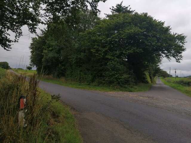
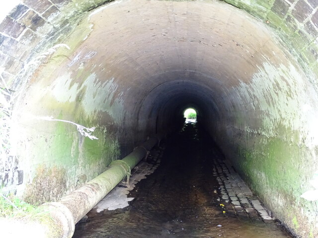
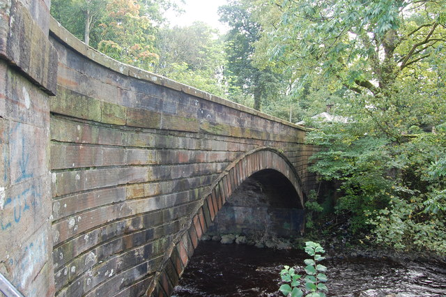
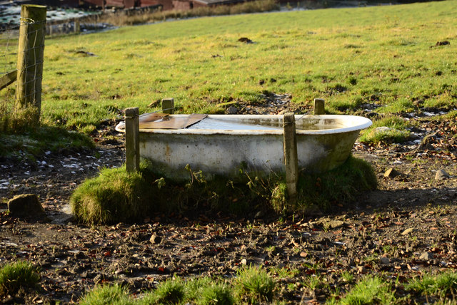
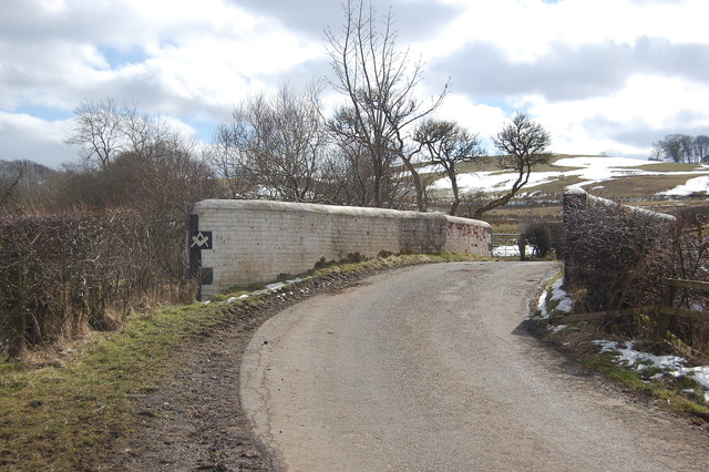
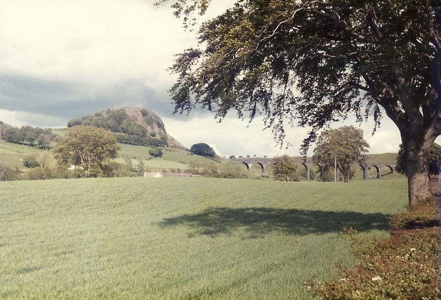
Greenbank Plantation Images

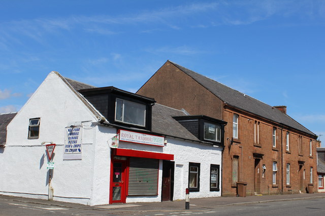
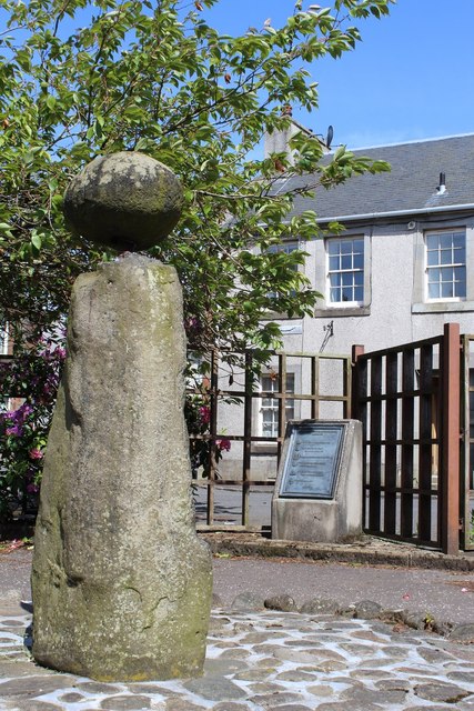
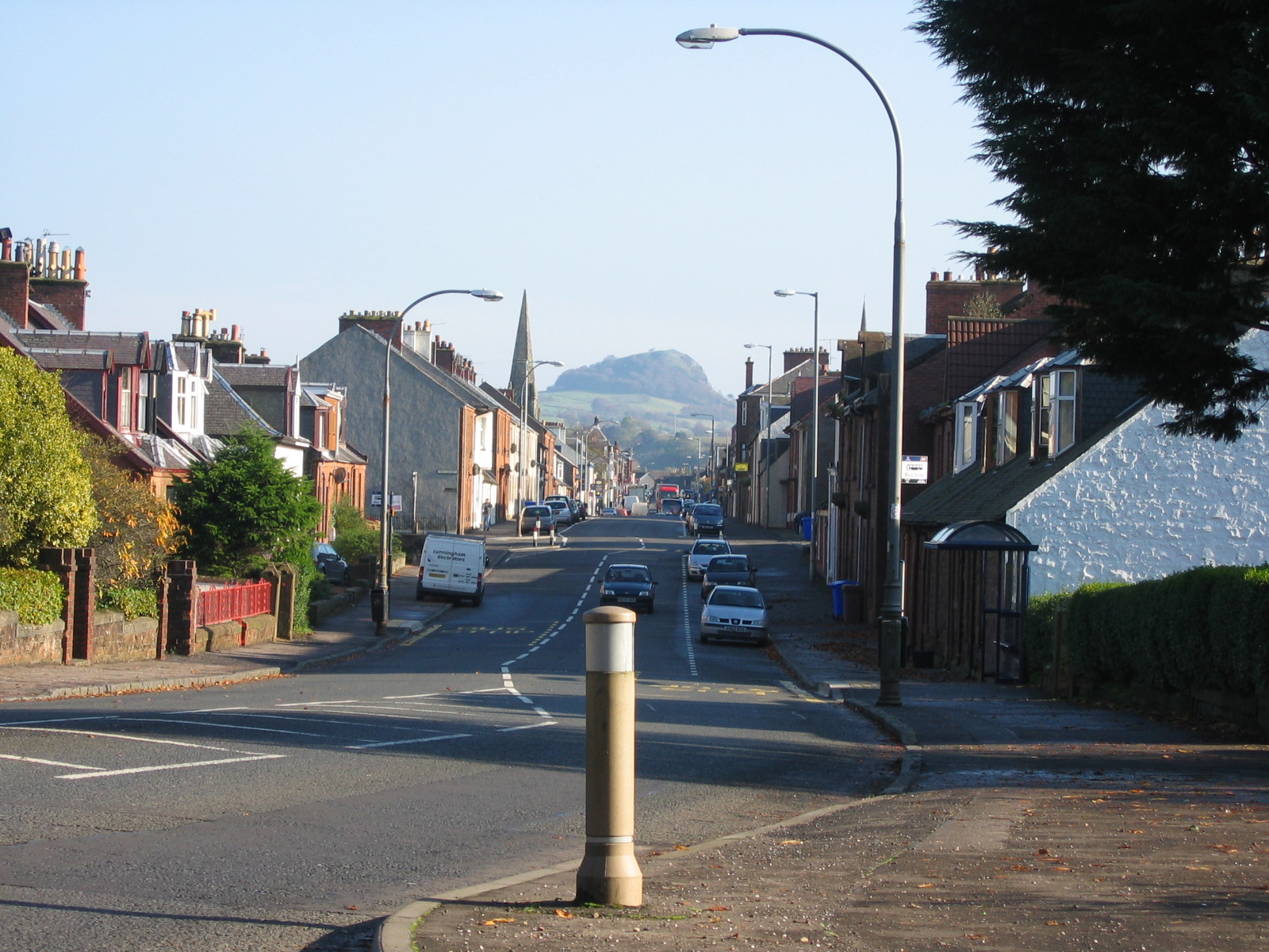
Images are sourced within 2km of 55.615608/-4.2696777 or Grid Reference NS5738. Thanks to Geograph Open Source API. All images are credited.

Foulpapple Road at Knevocklaw Foulpapple Road heads uphill at left. Across the road is the farm road to Knevocklaw.
Foulpapple Road at Knevocklaw
Foulpapple Road heads uphill at left. Across the road is the farm road to Knevocklaw.
The Hendryton Burn The Hendryton Burn runs through a culvert under the old 
Darvel & Strathaven Branch of the old G.&.S.W.R.
This photo was taken on the 19th June 2022.
The Hendryton Burn
The Hendryton Burn runs through a culvert under the old Darvel & Strathaven Branch of the old G.&.S.W.R. This photo was taken on the 19th June 2022.
Old Bench A summer seat beside the pathway on the old railway.
This photo was taken on the 19th June 2022.
Old Bench
A summer seat beside the pathway on the old railway. This photo was taken on the 19th June 2022.
Road bridge Bridge over the River Irvine
Road bridge
Bridge over the River Irvine
Cold bath
Cold bath
High Henryton Darvel This ruined steading hasn't been occupied for at least 150 years. It is divided up into three sections. Two would be accommodation and the other would be used as a byre.
High Henryton Darvel
This ruined steading hasn't been occupied for at least 150 years. It is divided up into three sections. Two would be accommodation and the other would be used as a byre.
Road Bridge Bridge on farm access road.
Road Bridge
Bridge on farm access road.
River meetings The Glen Water meets the River Irvine
River meetings
The Glen Water meets the River Irvine
Steel Bridge Private access bridge across River Irvine.
Steel Bridge
Private access bridge across River Irvine.
Looking across the fields from the A71 towards Loudoun Hill The railway line was demolished in 1986 - the year after I took this picture
Looking across the fields from the A71 towards Loudoun Hill
The railway line was demolished in 1986 - the year after I took this picture
Burgh of Darvel - birth place of Sir Alexander Fleming Sign by the A71
Burgh of Darvel - birth place of Sir Alexander Fleming
Sign by the A71
West Main Street, Darvel
The Turf Hotel, West Main Street, Darvel Category B-listed. Built c1840
The Turf Hotel, West Main Street, Darvel
Category B-listed. Built c1840
The Black Bull, West Main Street, Darvel Dated 1840
The Black Bull, West Main Street, Darvel
Dated 1840
Darvel Town Hall Category B-listed. Built late 19th-early 20th century.
Darvel Town Hall
Category B-listed. Built late 19th-early 20th century.
Darvel War Memorial
Darvel War Memorial
The Dagon Stone, Hastings Square, Darvel Possible standing stone which has been moved and re-erected on more than one occasion. The round boulder on top was added by a local blacksmith in the 19th century.
The Dagon Stone, Hastings Square, Darvel
Possible standing stone which has been moved and re-erected on more than one occasion. The round boulder on top was added by a local blacksmith in the 19th century.
Show me another place!

Greenbank Plantation is located at Grid Ref: NS5738 (Lat: 55.615608, Lng: -4.2696777)

Unitary Authority: East Ayrshire

Police Authority: Ayrshire

What 3 Words

///leap.advice.patching. Near Darvel, East Ayrshire

Nearby Locations

Greenbank Plantation

Related Wikis

Darvel F.C.

Darvel Football Club are a Scottish football club based in the town of Darvel, Ayrshire. Nicknamed "The Vale" and formed in 1889, the club play at Recreation...

Darvel

Darvel (Scots: Dairvel, Scottish Gaelic: Darbhail) is a small town in East Ayrshire, Scotland. It is at the eastern end of the Irvine Valley and is sometimes...

Priestland

Priestland is a village in East Ayrshire, Scotland. It has a population of 121 (Census 2001) and lies on the A71, around two miles west of Loudoun Hill...

Darvel Music Festival

Darvel Music Festival is a music festival that has been held in the town of Darvel, East Ayrshire, Ayrshire, Scotland, since 2002. The Darvel Music Festival...

Nearby Amenities

Located within 500m of 55.615608,-4.2696777
Post Box
Ref: KA17 113
Lat/Long: 55.6135431/-4.2752929
Turning Circle
Lat/Long: 55.6127608/-4.27434
Power: pole
Lat/Long: 55.6199465/-4.2699124
Power: pole
Lat/Long: 55.619663/-4.2704666
Power: pole
Lat/Long: 55.6193877/-4.2709896
Power: pole
Lat/Long: 55.6191241/-4.2715897
Power: pole
Lat/Long: 55.61931/-4.2726628
Power: pole
Lat/Long: 55.6182722/-4.2633634
Power: pole
Lat/Long: 55.6177168/-4.26313
Power: pole
Lat/Long: 55.617092/-4.2628654
Power: pole
Lat/Long: 55.6167543/-4.2627174
Power: pole
Lat/Long: 55.6161565/-4.2624445
Power: pole
Lat/Long: 55.6155011/-4.2621673
Power: pole
Lat/Long: 55.6148468/-4.2618798
Power: pole
Lat/Long: 55.6163448/-4.2633592
Power: pole
Lat/Long: 55.6159259/-4.2644052
Power: pole
Lat/Long: 55.6155222/-4.2654596
Power: pole
Lat/Long: 55.6151492/-4.2664055
Information: board
Tourism: information
Lat/Long: 55.6128587/-4.2663809
The data included in this document is from www.openstreetmap.org. The data is made available under ODbL.

Have you been to Greenbank Plantation?

Leave your review of Greenbank Plantation below (or comments, questions and feedback).