Craggach Wood

Wood, Forest in Inverness-shire

Scotland

Craggach Wood

Croft house and building, Altnacardoch Taken from an old croft road this shot shows a typical croft for this area.
Croft house and building, Altnacardoch Credit: Jim Bain

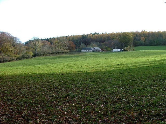
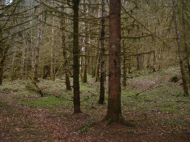
Craggach Wood is a picturesque forest located in Inverness-shire, Scotland. Covering an area of approximately 500 acres, it is known for its rich biodiversity and stunning natural beauty. The wood is situated near the village of Craggach, about 10 miles northwest of Inverness.

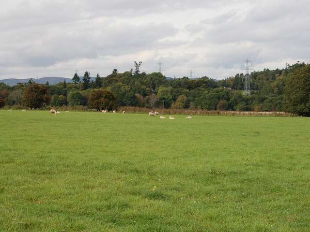
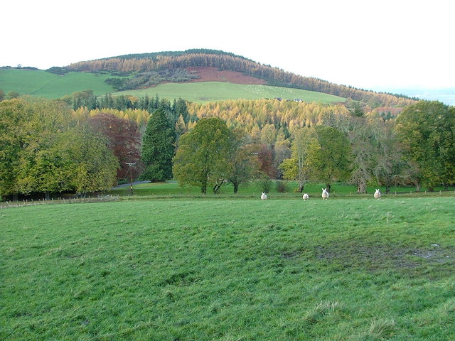
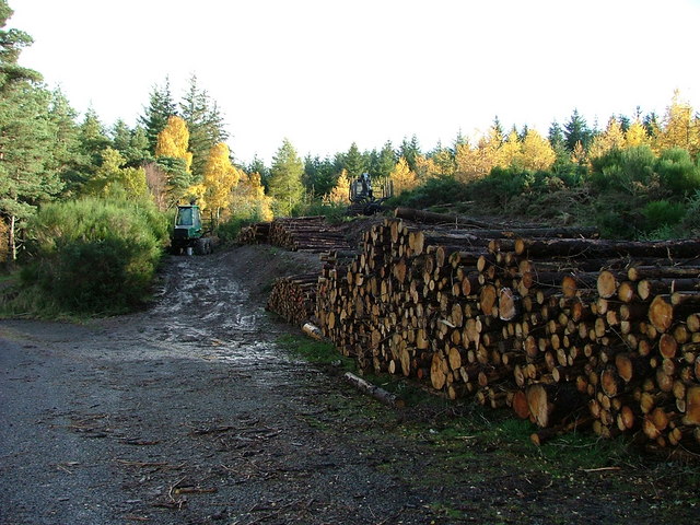
The woodland consists of a mix of broadleaf and coniferous trees, creating a diverse ecosystem that supports a wide range of plant and animal species. Visitors will find themselves surrounded by towering oak, birch, and pine trees, which provide a beautiful backdrop for leisurely walks and nature exploration.

Traversing through Craggach Wood, one can discover a network of well-maintained trails that wind through the forest, allowing visitors to explore its hidden treasures. The paths range in difficulty, catering to both casual strollers and avid hikers. Along the way, visitors may encounter a variety of wildlife, including red squirrels, roe deer, and numerous species of birds.

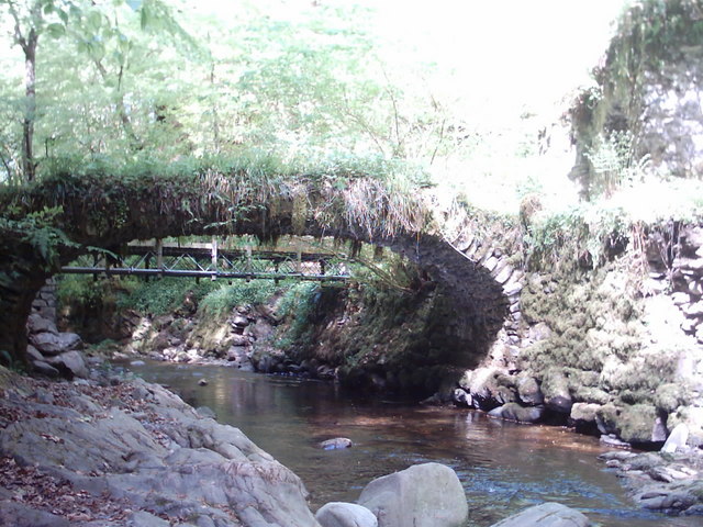
The wood is also home to a small stream that meanders through its heart, enhancing the tranquil ambiance and offering a serene spot for relaxation. The sound of running water adds to the overall sense of tranquility and provides a soothing background for those seeking solace in nature.

Craggach Wood is a popular destination for nature enthusiasts, photographers, and families looking for a peaceful escape from the hustle and bustle of everyday life. Its natural beauty, diverse flora and fauna, and well-maintained trails make it an ideal location for outdoor activities such as walking, birdwatching, and photography.

Overall, Craggach Wood is a true gem in the Inverness-shire region, offering visitors a chance to immerse themselves in the beauty of nature and experience the tranquility of a Scottish woodland.

If you have any feedback on the listing, please let us know in the comments section below.

Craggach Wood Images

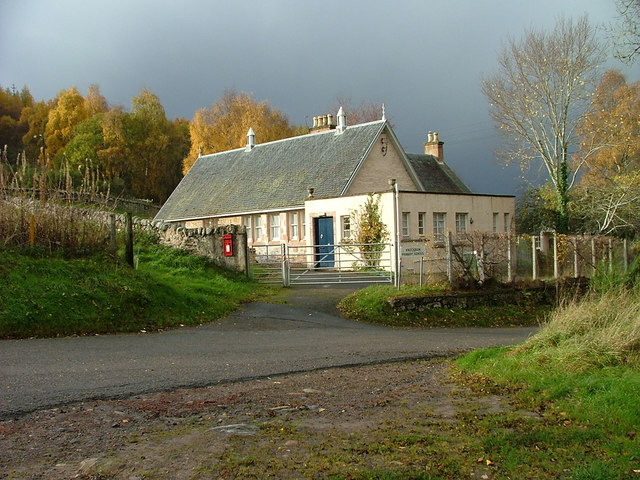
Images are sourced within 2km of 57.460905/-4.3857571 or Grid Reference NH5643. Thanks to Geograph Open Source API. All images are credited.

Croft house and building, Altnacardoch Taken from an old croft road this shot shows a typical croft for this area.
Croft house and building, Altnacardoch
Taken from an old croft road this shot shows a typical croft for this area.
Moniack Castle Winery Highland Wineries at Moniack Castle is a family enterprise.  The friendly visitors centre offers tastings of country wines, liqueurs and preserves.  Diana Gabaldon (author) fans should note - and visit!
Moniack Castle Winery
Highland Wineries at Moniack Castle is a family enterprise. The friendly visitors centre offers tastings of country wines, liqueurs and preserves. Diana Gabaldon (author) fans should note - and visit!
Reelig Glen 19th century stone bridge spanning the Moniack Burn, built by James Baillie Fraser (1783 - 1856), and based on works admired by the owner while travelling on the continent.
Reelig Glen
19th century stone bridge spanning the Moniack Burn, built by James Baillie Fraser (1783 - 1856), and based on works admired by the owner while travelling on the continent.
Moniack bridge
Moniack bridge
Sheep grazings at Moniack
Inchmore Gallery Once a church on the A9. The A9 now runs miles away from here since the Kessock Bridge <a href="https://www.geograph.org.uk/gridref/NH6647">NH6647</a> was opened in 1982, and the church is now a gallery.
Inchmore Gallery
Once a church on the A9. The A9 now runs miles away from here since the Kessock Bridge NH6647 was opened in 1982, and the church is now a gallery.
Ardmachdunie Farm Southeast of Moniack Castle
Ardmachdunie Farm
Southeast of Moniack Castle
Pasture Land at Rebeg Phoineas Hill in the distance.
Pasture Land at Rebeg
Phoineas Hill in the distance.
Timber Operations at The Aird Southwest of Newtonhill.
Timber Operations at The Aird
Southwest of Newtonhill.
Dilapidated Croft Building On the Lentran Estate.
Dilapidated Croft Building
On the Lentran Estate.
Abandoned Project? On closer inspection, this building appeared to be sinking dramatically.
Abandoned Project?
On closer inspection, this building appeared to be sinking dramatically.
Road to Newton House and Balcarse Farm East of Kirkhill village.
Road to Newton House and Balcarse Farm
East of Kirkhill village.
Knockbain Primary School South of Moniack Castle
Knockbain Primary School
South of Moniack Castle
Reelig Glen Reelig glen is home to some of the tallest trees in Britain and home to the mighty Dughall Mor (meaning dark stranger) sadly not photographed.
Reelig Glen
Reelig glen is home to some of the tallest trees in Britain and home to the mighty Dughall Mor (meaning dark stranger) sadly not photographed.
Rear View of Moniack Castle Winery Moniack Castle, the seat of the Frasers, dates from 1580.
Rear View of Moniack Castle Winery
Moniack Castle, the seat of the Frasers, dates from 1580.
Farm building at Holme Showing a farm building and the junction from the public road into the farm at Holme.
Farm building at Holme
Showing a farm building and the junction from the public road into the farm at Holme.
Craggach Farm Craggach Farm and fields taken from the public road to Newtonhill
Craggach Farm
Craggach Farm and fields taken from the public road to Newtonhill
Forest access track A gate at the entrance to a small area of forest.
Forest access track
A gate at the entrance to a small area of forest.
Show me another place!

Craggach Wood is located at Grid Ref: NH5643 (Lat: 57.460905, Lng: -4.3857571)

Unitary Authority: Highland

Police Authority: Highlands and Islands

What 3 Words

///newer.surely.mops. Near Beauly, Highland

Nearby Locations

Craggach Wood

Related Wikis

Inchmore, Kirkhill

Inchmore (Scottish Gaelic: Innis Mhòr, meaning "Large Island in the Marsh") in the Highland council area of Scotland, just south of the Beauly Firth. It...

The Aird

The Aird (from Scottish Gaelic: An Àird (IPA: [an ˈaːɾʃt̪]) meaning "The High Place") is an area of the County of Inverness, to the west of the City of...
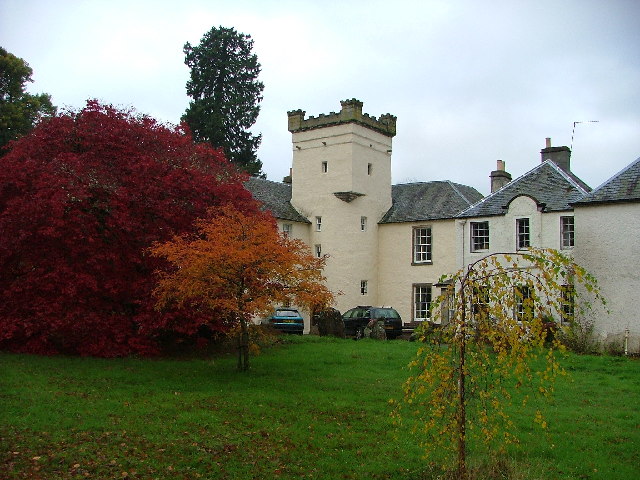
Moniack Castle

Moniack Castle is a 16th-century tower house located 7 miles (11 km) west of Inverness, and just south of Beauly in Highland, Scotland. The castle was...

Lentran

Lentran is a small hamlet in the Highland council area of Scotland. It is 1.8 miles (3 km) east of Kirkhill and 5 miles (8 km) west of Inverness, on the...

Nearby Amenities

Located within 500m of 57.460905,-4.3857571
Power: pole
Lat/Long: 57.456773/-4.3854941
Power: pole
Lat/Long: 57.4573068/-4.3856753
Power: pole
Lat/Long: 57.457497/-4.3853041
Power: pole
Lat/Long: 57.4576075/-4.3850831
Power: pole
Lat/Long: 57.4578773/-4.384555
Power: pole
Lat/Long: 57.4581923/-4.3839362
Power: pole
Lat/Long: 57.4587058/-4.3829529
Power: pole
Lat/Long: 57.4588176/-4.3818193
Power: pole
Lat/Long: 57.4589448/-4.3806172
Power: pole
Lat/Long: 57.4590517/-4.3793952
Power: pole
Lat/Long: 57.4622711/-4.3885277
Power: pole
Lat/Long: 57.4618418/-4.3913121
Power: pole
Lat/Long: 57.457835/-4.3864886
Power: pole
Lat/Long: 57.458211/-4.387107
Power: pole
Lat/Long: 57.4587525/-4.3879169
Power: pole
Lat/Long: 57.4591944/-4.3886042
Power: pole
Lat/Long: 57.4596807/-4.3893486
Power: pole
Lat/Long: 57.4600278/-4.389909
Power: pole
Lat/Long: 57.4606433/-4.3903795
Power: pole
Lat/Long: 57.4613225/-4.3909012
Power: pole
Lat/Long: 57.4624871/-4.3918238
Power: pole
Lat/Long: 57.4630176/-4.3925295
The data included in this document is from www.openstreetmap.org. The data is made available under ODbL.

Have you been to Craggach Wood?

Leave your review of Craggach Wood below (or comments, questions and feedback).