Viewfield Wood
Wood, Forest in Ross-shire
Scotland
Viewfield Wood
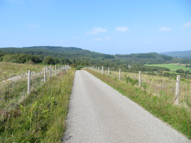
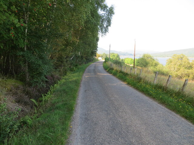
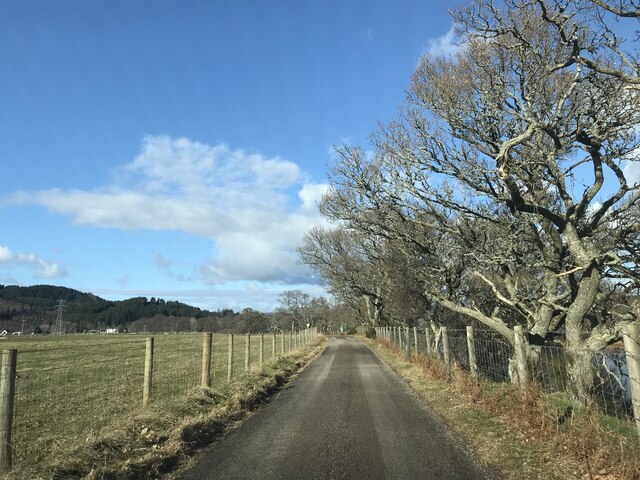
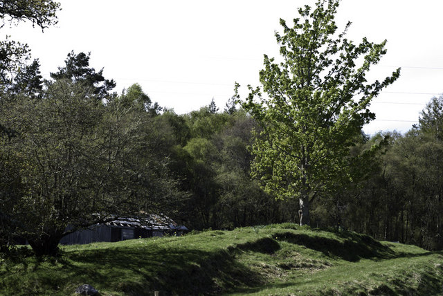
Viewfield Wood is a picturesque woodland located in Ross-shire, Scotland. Covering an area of approximately 50 acres, it is a popular destination for nature enthusiasts and those seeking solace in the peaceful surroundings. The wood is situated on a gentle slope, offering stunning views of the surrounding countryside.
The wood is predominantly composed of native tree species such as oak, birch, and pine, creating a diverse and vibrant ecosystem. The dense canopy provides shelter for a variety of wildlife, including red squirrels, roe deer, and a wide range of bird species. The tranquil atmosphere is further enhanced by the presence of a babbling brook that meanders through the wood, adding to its charm.
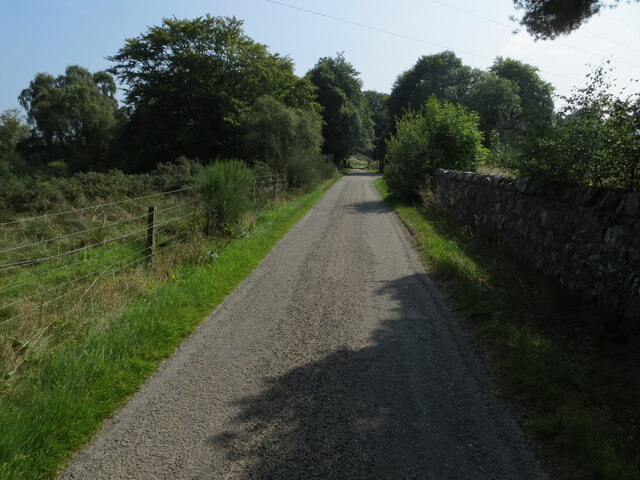
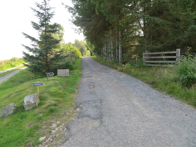
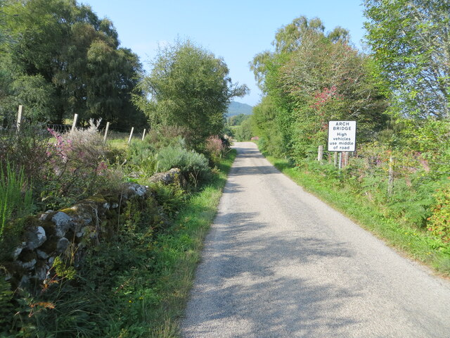
A network of well-maintained walking trails meanders through the wood, offering visitors the opportunity to explore its beauty at their own pace. These paths are suitable for both leisurely strolls and more rigorous hikes, accommodating visitors of all fitness levels. Along the trails, informative signposts provide interesting facts about the flora and fauna, adding an educational element to the experience.
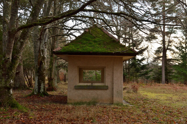
Viewfield Wood is also home to a small picnic area, complete with benches and tables, where visitors can relax and enjoy a meal amidst the natural surroundings. The wood is open to the public year-round, allowing visitors to witness the changing seasons and the stunning displays of autumn foliage or the vibrant blooms of spring.
Overall, Viewfield Wood is a hidden gem in Ross-shire, offering a peaceful retreat for nature lovers and a chance to appreciate the beauty of Scotland's woodlands.
If you have any feedback on the listing, please let us know in the comments section below.
Viewfield Wood Images
Images are sourced within 2km of 57.904796/-4.4164528 or Grid Reference NH5693. Thanks to Geograph Open Source API. All images are credited.


Viewfield Wood is located at Grid Ref: NH5693 (Lat: 57.904796, Lng: -4.4164528)
Unitary Authority: Highland
Police Authority: Highlands and Islands
What 3 Words
///unsightly.snapped.flatten. Near Lairg, Highland
Nearby Locations
Related Wikis

Battle of Carbisdale
The Battle of Carbisdale (also known as Invercarron) took place close to the village of Culrain, Sutherland, Scotland on 27 April 1650 and was part of...
Culrain
Culrain (Cul Raoin) is a small village in Sutherland, Highland, Scotland. == Location == Culrain lies west of Ardgay, beside the Kyle of Sutherland about...

Culrain railway station
Culrain railway station serves the village of Culrain in Kyle of Sutherland in the Highland council area of Scotland. It is located on the Far North Line...

Shin Railway Viaduct
The Shin Railway Viaduct (also known as the Invershin Viaduct or Oykel Viaduct) is a railway viaduct that crosses the Kyle of Sutherland.The viaduct carries...

Carbisdale Castle
Carbisdale Castle was built in 1907 for the Duchess of Sutherland on a hill across the Kyle of Sutherland from Invershin in the Scottish Highlands. Until...

Invershin
Invershin (Scottish Gaelic: Inbhir Sin) is a scattered village in the Parish of Creich, 6 miles (10 km) south of Lairg and 4 miles (6.4 km) north of Bonar...

Kyle of Sutherland
The Kyle of Sutherland (Scottish Gaelic: An Caol Catach) is a river estuary that separates Sutherland from Ross-shire. It flows into the Dornoch Firth...

Invershin railway station
Invershin railway station is a railway station in the Highland council area of Scotland. The station is on the Far North Line, 61 miles 34 chains (98.9...
Have you been to Viewfield Wood?
Leave your review of Viewfield Wood below (or comments, questions and feedback).