Cardigan Island
Island in Cardiganshire
Wales
Cardigan Island

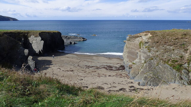
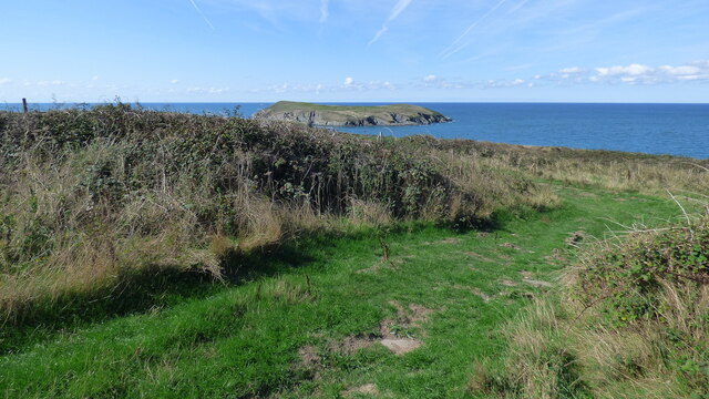
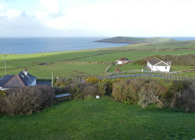
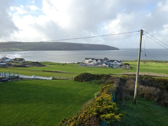
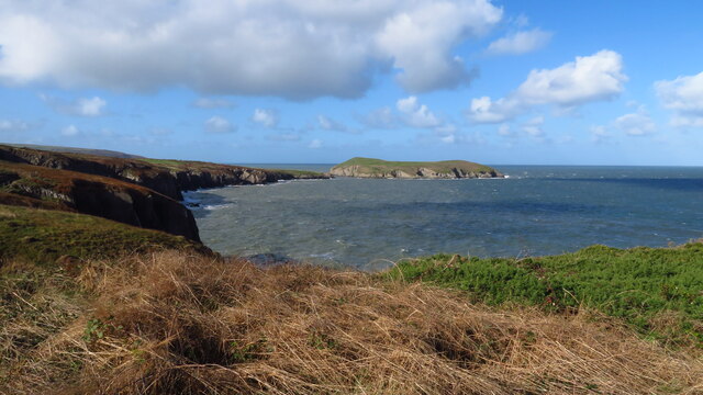
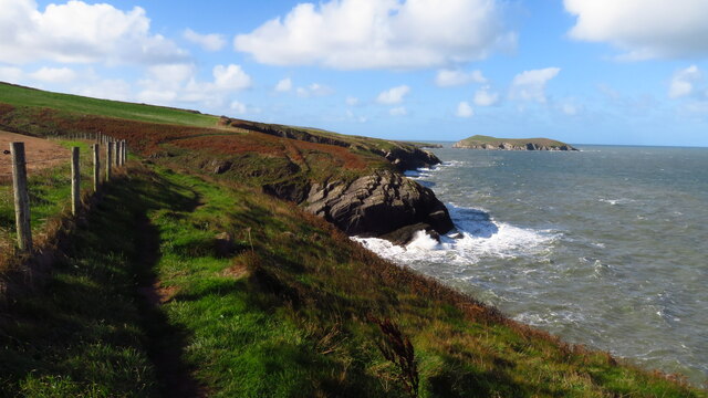
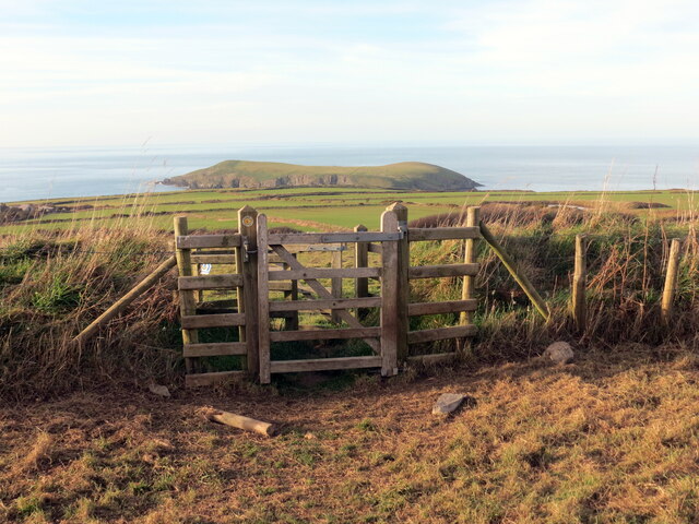
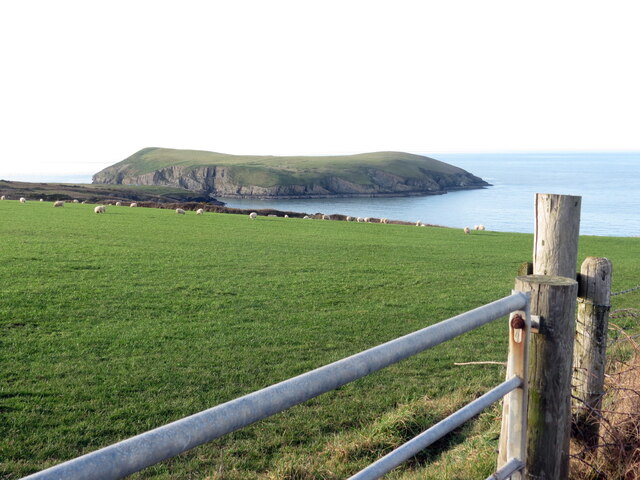
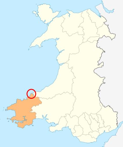
Cardigan Island is a small, uninhabited island located off the coast of Cardiganshire, Wales. Situated in the Irish Sea, it is approximately 1 mile offshore and can be accessed via boat from the nearby town of Gwbert-on-Sea. The island is part of the Cardigan Bay Special Area of Conservation, renowned for its diverse wildlife and stunning natural beauty.
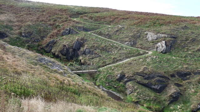
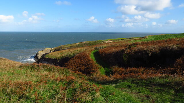
Covering an area of around 10 acres, Cardigan Island is predominantly made up of rugged cliffs that rise up to 50 meters above sea level. These cliffs provide a nesting site for a variety of seabirds, including guillemots, razorbills, and kittiwakes. The island is also home to a thriving population of Atlantic grey seals, which can often be seen basking on the rocks or swimming in the surrounding waters.
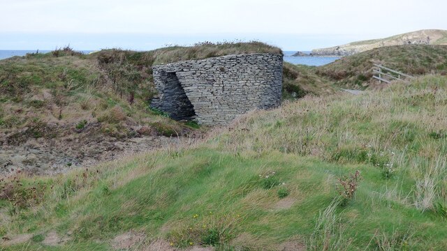
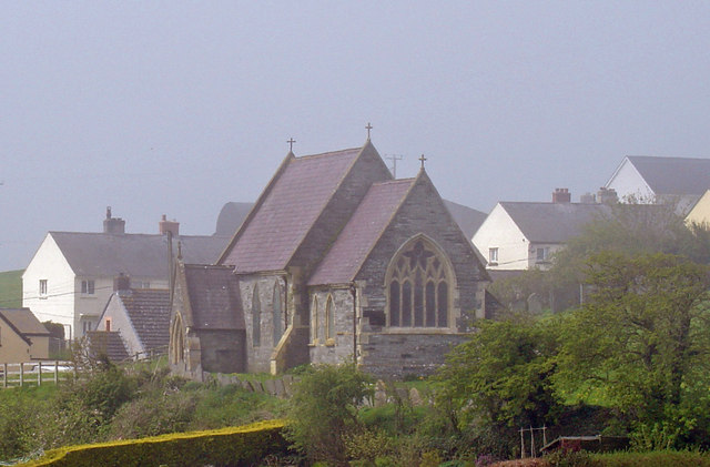
Although uninhabited by humans, Cardigan Island has a rich history. Ruins of an ancient chapel dedicated to Saint Dogmaels can still be seen on the island, dating back to the 12th century. It is believed that monks used to live on the island during this time.
Visitors to Cardigan Island can enjoy breathtaking views of the surrounding coastline, observe the diverse birdlife, and even spot dolphins and porpoises in the waters surrounding the island. The island is privately owned and managed as a nature reserve, providing a peaceful and unspoiled environment for both wildlife and visitors alike.
Overall, Cardigan Island is a hidden gem off the Cardiganshire coast, offering a unique opportunity to experience the beauty of Wales' natural landscapes and observe its diverse wildlife in their natural habitat.
If you have any feedback on the listing, please let us know in the comments section below.
Cardigan Island Images
Images are sourced within 2km of 52.1315/-4.69 or Grid Reference SN1551. Thanks to Geograph Open Source API. All images are credited.


Cardigan Island is located at Grid Ref: SN1551 (Lat: 52.1315, Lng: -4.69)
Unitary Authority: Ceredigion
Police Authority: Dyfed Powys
Also known as: Ynys Aberteifi
What 3 Words
///blip.musician.passes. Near Cardigan, Ceredigion
Nearby Locations
Related Wikis

Cardigan Island
Cardigan Island (Welsh: Ynys Aberteifi) is an uninhabited island north of Cardigan, Ceredigion, south-west Wales. It reaches a height of 52 metres (171...

Gwbert
Gwbert (Welsh pronunciation: [ˈɡubɛrt]), also known as Gwbert-on-Sea, is a cliff-top coastal village in Y Ferwig community, Ceredigion, Wales. It lies...
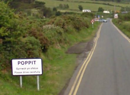
Poppit Sands
Poppit (Welsh: Poppit) is a small, dispersed settlement which lies on the southern side of the estuary of the River Teifi, near Cardigan, in northern Pembrokeshire...
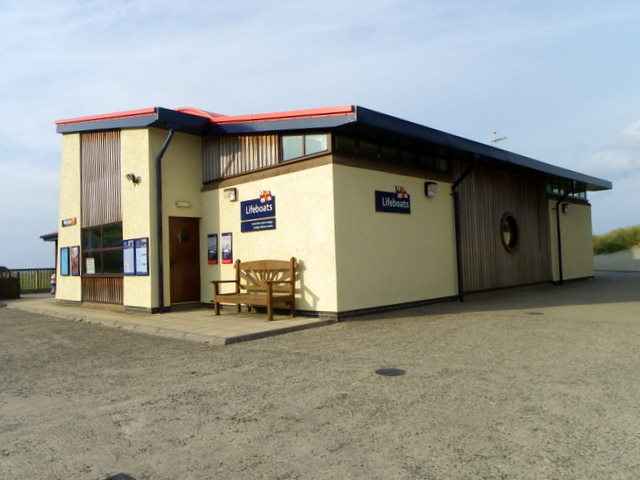
Cardigan Lifeboat Station
Cardigan Lifeboat Station, at Poppit Sands, North Pembrokeshire, near Cardigan, Ceredigion, Wales, is a Royal National Lifeboat Institution (RNLI) lifeboat...

River Teifi
The River Teifi (English: ; Welsh: Afon Teifi, pronounced [ˈavɔn ˈtəɪvɪ]) in Wales forms the boundary for most of its length between the counties of Ceredigion...
Y Ferwig
Y Ferwig (sometimes spelled Verwig) is a small village and community about 2 to 3 miles from Cardigan, Wales. == Amenities == The village is made up of...
Cemaes Head
Cemaes Head (formerly Cemais, and historically anglicised as Cemmaes, Kemmaes or Kemmes) (Welsh: Pen Cemaes or Trwyn Cemaes) is a headland and nature reserve...

Mwnt
Mwnt (Welsh: [ˈmʊnt]) is an ancient parish in Ceredigion, Wales, 4.5 miles (7.2 km) north of Cardigan. The Wales Coast Path passes through this very small...
Related Videos


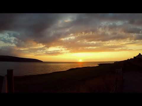

Gwbert coastal path , The Cliff hotel, coves, Cardigan island
Created with the #GoPro App on my iPad.
Nearby Amenities
Located within 500m of 52.1315,-4.69Have you been to Cardigan Island?
Leave your review of Cardigan Island below (or comments, questions and feedback).