Cardenden

Settlement in Fife

Scotland

Cardenden

Kinglassie Road, Cardenden
Kinglassie Road, Cardenden Credit: Douglas Nelson

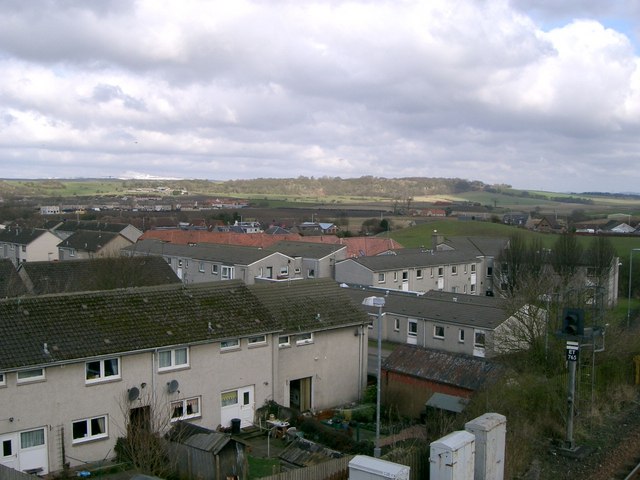
Cardenden is a small town located in Fife, Scotland. Situated approximately 5 miles west of Kirkcaldy, it is nestled in the heart of the beautiful Scottish countryside. The town has a population of around 5,000 residents.

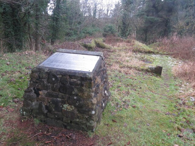
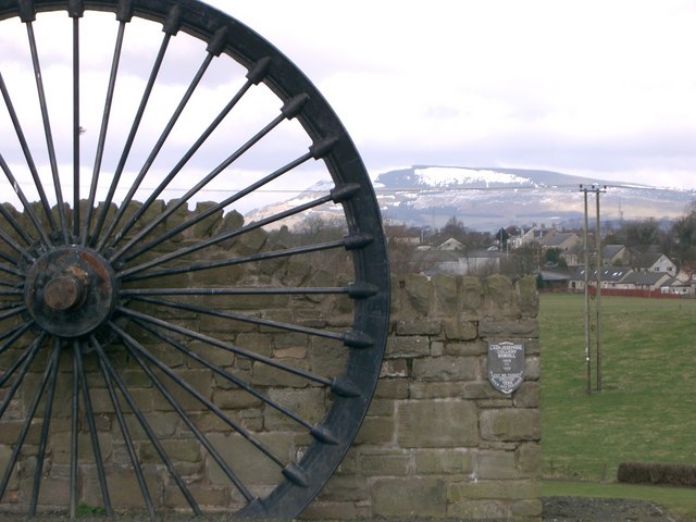
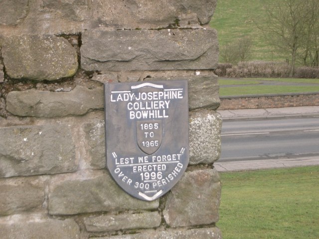
Cardenden has a rich history, with evidence of human habitation in the area dating back to the Iron Age. In more recent times, the town became renowned for its coal mining industry, which thrived from the late 19th century until the mid-20th century. Today, the remnants of the mining era can still be seen in the form of disused collieries and mining-related infrastructure.

The town offers a range of amenities to its residents, including a primary school, a community center, and a public library. There are also several shops, pubs, and restaurants that cater to the local community. The nearby Bowhill Industrial Estate provides employment opportunities for many locals.

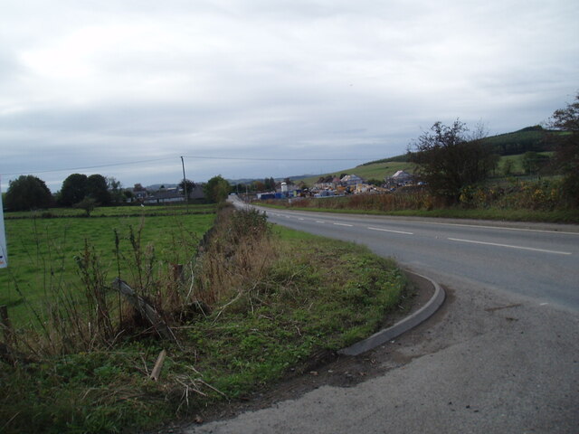
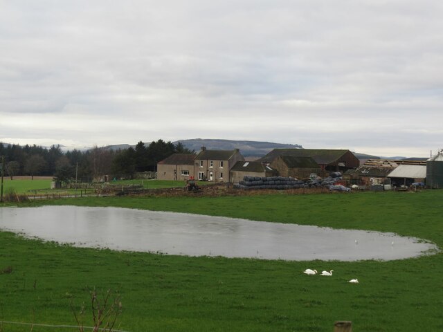
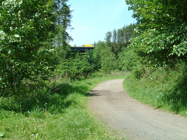
Cardenden benefits from its location in close proximity to both the A92 road and the main East Coast railway line, offering easy access to neighboring towns and cities. The beautiful surrounding countryside provides ample opportunities for outdoor activities such as walking, cycling, and fishing.

Overall, Cardenden is a charming town that combines its rich history with modern amenities and a friendly community. Whether you are interested in exploring its historical roots or enjoying the natural beauty of the area, Cardenden has something to offer for everyone.

If you have any feedback on the listing, please let us know in the comments section below.
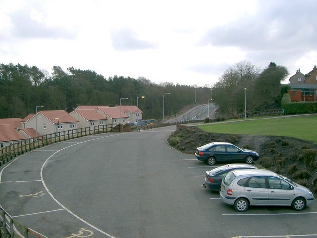
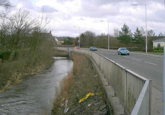
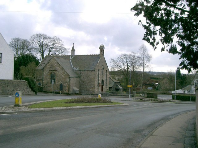
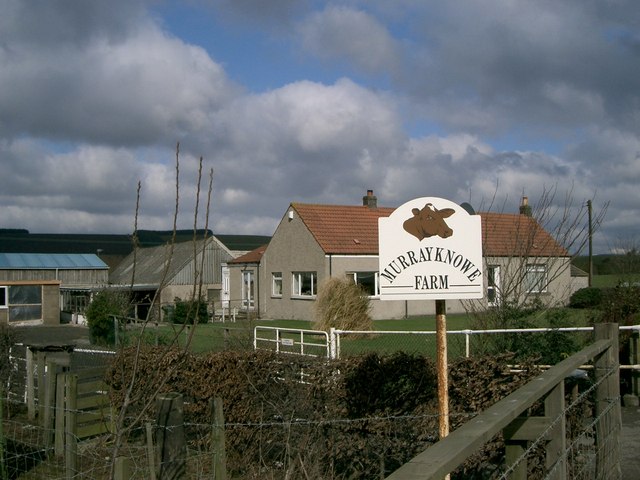
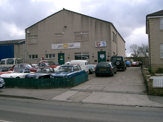
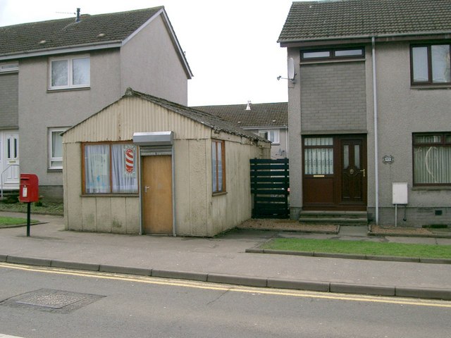
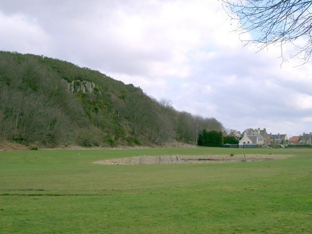
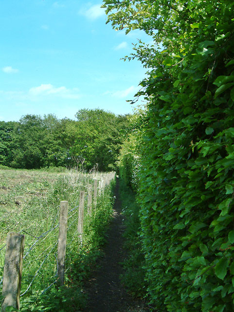
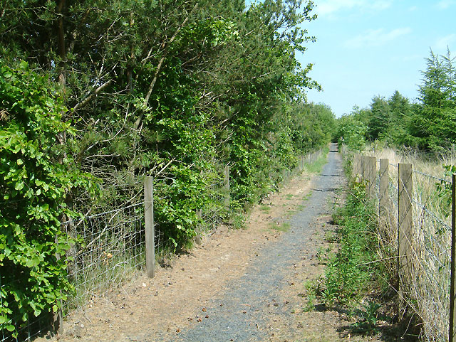
Cardenden Images

Images are sourced within 2km of 56.142545/-3.251768 or Grid Reference NT2295. Thanks to Geograph Open Source API. All images are credited.

Kinglassie Road, Cardenden
Remains of Carden Den Tower The tower was erected between 1432 and 1532 but has long since disappeared. For more information, see <span class="nowrap"><a title="https://canmore.org.uk/site/52960/carden-tower" rel="nofollow ugc noopener" href="https://canmore.org.uk/site/52960/carden-tower">Link</a><img style="margin-left:2px;" alt="External link" title="External link - shift click to open in new window" src="https://s1.geograph.org.uk/img/external.png" width="10" height="10"/></span>.
Remains of Carden Den Tower
The tower was erected between 1432 and 1532 but has long since disappeared. For more information, see LinkExternal link.
Trigpoint, Keir Brae
Flooded field at Cardenbarns With three Mute Swans in the foreground.
Flooded field at Cardenbarns
With three Mute Swans in the foreground.
Benchmark, Sunnyside Plantation near Cardenden This Ordnance Survey benchmark took a lot of finding. It was hidden beneath moss and brambles on an old and crumbling wall away from the main path through the woods. It is described on the database at <span class="nowrap"><a title="https://www.bench-marks.org.uk/bm147454" rel="nofollow ugc noopener" href="https://www.bench-marks.org.uk/bm147454">Link</a><img style="margin-left:2px;" alt="External link" title="External link - shift click to open in new window" src="https://s1.geograph.org.uk/img/external.png" width="10" height="10"/></span>.
Benchmark, Sunnyside Plantation near Cardenden
This Ordnance Survey benchmark took a lot of finding. It was hidden beneath moss and brambles on an old and crumbling wall away from the main path through the woods. It is described on the database at LinkExternal link.
Cardenden Cardenden Railway Station car park and new houses.
Cardenden
Cardenden Railway Station car park and new houses.
The River Ore The River Ore where it flows through Bowhill.
The River Ore
The River Ore where it flows through Bowhill.
Auchterderran Parish Church St.Fothads Church of Scotland.
Auchterderran Parish Church
St.Fothads Church of Scotland.
Murrayknowe Farm Situated on the Lochgelly to Cardenden Road (B981)
Murrayknowe Farm
Situated on the Lochgelly to Cardenden Road (B981)
Garage Situated on Jamphlars Road this garage seems to specialize in cars of a certain age.
Garage
Situated on Jamphlars Road this garage seems to specialize in cars of a certain age.
Memorial A view north to Bishop Hill from mining memorial at Jamphlars.
Memorial
A view north to Bishop Hill from mining memorial at Jamphlars.
Plaque Inscription on mining memorial.
Plaque
Inscription on mining memorial.
Barber's Shop Unusual site for a barber's shop on Station Road Cardenden.
Barber's Shop
Unusual site for a barber's shop on Station Road Cardenden.
Cardenden Housing in Cardenden.
Cardenden
Housing in Cardenden.
Craighead Plantation Marked on the 1940'S map as Craighead Plantation this is how it looks today.
Craighead Plantation
Marked on the 1940'S map as Craighead Plantation this is how it looks today.
Footpath to ??? I was puzzled by an obviously used and maintained footpath (the beech and hawthorn hedge is trimmed), that  according to the map came to a dead end where the A92 cut across it.  It starts from the minor road between Muirhead and Shawsmill.
Footpath to ???
I was puzzled by an obviously used and maintained footpath (the beech and hawthorn hedge is trimmed), that according to the map came to a dead end where the A92 cut across it. It starts from the minor road between Muirhead and Shawsmill.
New path Maps can only show what was on the ground at the time they were made.  This new section of footpath runs alongside the A92 and connects the path shown in <a href="https://www.geograph.org.uk/photo/184926">NT2193 : Footpath to ???</a> with the minor road going north to Cardenden.
New path
Maps can only show what was on the ground at the time they were made. This new section of footpath runs alongside the A92 and connects the path shown in NT2193 : Footpath to ??? with the minor road going north to Cardenden.
Carden Den A footpath leaves the minor road at Shawsmill to join this track which passes under the A92 and leads to the village of Cardenden. See <a href="https://www.geograph.org.uk/gridref/NT2194">NT2194</a>
Carden Den
A footpath leaves the minor road at Shawsmill to join this track which passes under the A92 and leads to the village of Cardenden. See NT2194
Show me another place!

Cardenden is located at Grid Ref: NT2295 (Lat: 56.142545, Lng: -3.251768)

Unitary Authority: Fife

Police Authority: Fife

What 3 Words

///rents.clean.weeds. Near Cardenden, Fife

Nearby Locations

Cardenden

Related Wikis

Cardenden railway station

Cardenden railway station is a railway station in Cardenden, Fife, Scotland. The station is managed by ScotRail and is on the Fife Circle Line, 27 miles...

Dundonald Bluebell F.C.

Dundonald Bluebell Football Club are a Scottish football club based in Cardenden, Fife. The team plays in the East of Scotland League Premier Division...

Cardenden

Cardenden ( ) is a Scottish town located on the south bank of the River Ore in the parish of Auchterderran, Fife. It is approximately 4 miles (6.4 km)...

Auchterderran

Auchterderran () is a village in Fife, Scotland. It is sometimes thought as part of the larger village, Cardenden, although Cardenden is part of the parish...

Nearby Amenities

Located within 500m of 56.142545,-3.251768
Direction: both
Surface: asphalt
Traffic Calming: cushion
Lat/Long: 56.1429289/-3.2556744
Direction: both
Surface: asphalt
Traffic Calming: cushion
Lat/Long: 56.1435524/-3.256739
Direction: both
Surface: asphalt
Traffic Calming: table
Lat/Long: 56.1400277/-3.2525648
Direction: both
Surface: asphalt
Traffic Calming: table
Lat/Long: 56.1411114/-3.2515578
Direction: both
Surface: asphalt
Traffic Calming: table
Lat/Long: 56.142558/-3.2471521
Direction: both
Surface: asphalt
Traffic Calming: table
Lat/Long: 56.1417278/-3.2452679
Direction: both
Surface: asphalt
Traffic Calming: cushion
Lat/Long: 56.140956/-3.2473633
Direction: both
Surface: asphalt
Traffic Calming: cushion
Lat/Long: 56.1444253/-3.2542384
New Carden
Place: neighbourhood
Lat/Long: 56.1415258/-3.2500213
Keystore
Shop: convenience
Lat/Long: 56.1425897/-3.2518796
Post Office
New Carden Post Office
Addr City: Cardenden
Addr Housenumber: 103
Addr Postcode: KY5 0PD
Addr Street: Cardenden Road
Brand: Post Office
Brand Wikidata: Q1783168
Check Date: 2023-09-27
Opening Hours: Mo-Fr 08:00-18:00; Sa 09:00-12:00
Ref Pol Id: 127841
Lat/Long: 56.1425733/-3.2519547
Post Box
Brand: Royal Mail
Brand Wikidata: Q638098
Brand Wikipedia: en:Royal Mail
Collection Times: Mo-Fr 17:00; Sa 10:15
Operator: Royal Mail
Operator Wikidata: Q638098
Post Box Type: pillar
Ref: KY5 172
Royal Cypher: GR
Royal Cypher Wikidata: Q33102273
Source: survey
Lat/Long: 56.1423996/-3.2524136
Direction: both
Surface: asphalt
Traffic Calming: cushion
Lat/Long: 56.1426942/-3.2552521
Direction: both
Surface: asphalt
Traffic Calming: cushion
Lat/Long: 56.1419835/-3.2509272
Bus Stop
Cardenden Road
Bus: yes
Departures Board: timetable
Naptan AtcoCode: 6500K0873
Naptan Bearing: E
Naptan CommonName: Cardenden Road
Naptan Indicator: adj 13
Naptan Landmark: Ore Valley Sheltered Housing
Naptan NaptanCode: 34327487
Naptan Street: Cardenden Road
Public Transport: platform
Ref: 34327487
Shelter: yes
Lat/Long: 56.1437472/-3.259338
Grit Bin
Lat/Long: 56.1437669/-3.2592557
Bus Stop
Cluny Park
Bus: yes
Departures Board: timetable
Naptan AtcoCode: 6500K0874
Naptan Bearing: W
Naptan CommonName: Cluny Park
Naptan Indicator: adj
Naptan Landmark: Cluny Park
Naptan NaptanCode: 34327482
Naptan Street: Cardenden Road
Public Transport: platform
Ref: 34327482
Shelter: yes
Lat/Long: 56.1431827/-3.2495043
Bus Stop
Cluny Park
Bus: yes
Departures Board: timetable
Naptan AtcoCode: 6500K0875
Naptan Bearing: E
Naptan CommonName: Cluny Park
Naptan Indicator: opp
Naptan Landmark: Cluny Park
Naptan NaptanCode: 34327484
Naptan Street: Cardenden Road
Public Transport: platform
Ref: 34327484
Shelter: yes
Lat/Long: 56.1433187/-3.2487989
Bus Stop
Cardenden Shops
Bus: yes
Departures Board: timetable
Naptan AtcoCode: 6500K0879
Naptan Bearing: E
Naptan CommonName: Cardenden Shops
Naptan Indicator: opp
Naptan Landmark: Cardenden Shops
Naptan NaptanCode: 34327478
Naptan Street: Cardenden Road
Public Transport: platform
Ref: 34327478
Shelter: yes
Lat/Long: 56.1425705/-3.2531069
Bus Stop
Cardenden Shops
Bus: yes
Departures Board: timetable
Naptan AtcoCode: 6500K0878
Naptan Bearing: W
Naptan CommonName: Cardenden Shops
Naptan Indicator: adj
Naptan Landmark: Cardenden Shops
Naptan NaptanCode: 34327476
Naptan Street: Cardenden Road
Public Transport: platform
Ref: 34327476
Shelter: yes
Lat/Long: 56.1424346/-3.2533976
Bus Stop
Cardenden Road
Bus: yes
Departures Board: timetable
Naptan AtcoCode: 6500K0780
Naptan Bearing: W
Naptan CommonName: Cardenden Road
Naptan Indicator: adj 30
Naptan Landmark: Scout Hall
Naptan NaptanCode: 34327486
Naptan Street: Cardenden Road
Public Transport: platform
Ref: 34327486
Shelter: no
Lat/Long: 56.1437548/-3.2582394
Bus Stop
Corrie Centre
Bus: yes
Departures Board: timetable
Naptan AtcoCode: 6500K0952
Naptan Bearing: NE
Naptan CommonName: Corrie Centre
Naptan Indicator: Opp
Naptan Landmark: Corrie Centre
Naptan NaptanCode: 34327867
Naptan Street: Carden Castle Avenue
Public Transport: platform
Ref: 34327867
Shelter: yes
Lat/Long: 56.1402112/-3.2495358
Bus Stop
Carden Castle Park
Bus: yes
Departures Board: timetable
Naptan AtcoCode: 6500K0890
Naptan Bearing: NW
Naptan CommonName: Carden Castle Park
Naptan Indicator: adj
Naptan Landmark: Carden Castle Park
Naptan NaptanCode: 34327469
Naptan Street: Carden Avenue
Public Transport: platform
Ref: 34327469
Shelter: yes
Lat/Long: 56.1410076/-3.2493423
Post Box
Collection Times: Mo-Fr 09:00; Sa 07:00
Operator: Royal Mail
Post Box Type: lamp
Ref: KY5 190D
Royal Cypher: scottish_crown
Source: survey
Lat/Long: 56.1399095/-3.2531664
Barrier: cycle_barrier
Lat/Long: 56.141865/-3.2584592
Barrier: cycle_barrier
Lat/Long: 56.1418914/-3.2584802
Direction: both
Surface: asphalt
Traffic Calming: cushion
Lat/Long: 56.1424995/-3.2536908
Direction: both
Surface: asphalt
Traffic Calming: cushion
Lat/Long: 56.1424743/-3.2520033
Crossing
Crossing: unmarked
Crossing Island: yes
Crossing Markings: no
Tactile Paving: yes
Lat/Long: 56.1437637/-3.256457
Surface: asphalt
Traffic Calming: table
Lat/Long: 56.1437847/-3.2561144
Direction: both
Surface: asphalt
Traffic Calming: cushion
Lat/Long: 56.1443482/-3.2551198
Direction: both
Surface: asphalt
Traffic Calming: cushion
Lat/Long: 56.144137/-3.2555857
Direction: both
Surface: asphalt
Traffic Calming: cushion
Lat/Long: 56.1416198/-3.2502798
Direction: both
Surface: asphalt
Traffic Calming: cushion
Lat/Long: 56.1411702/-3.2494829
Direction: both
Surface: asphalt
Traffic Calming: cushion
Lat/Long: 56.1387177/-3.2538424
Direction: both
Surface: asphalt
Traffic Calming: cushion
Lat/Long: 56.1391225/-3.2544551
Direction: both
Surface: asphalt
Traffic Calming: cushion
Lat/Long: 56.1397093/-3.2548043
Direction: both
Surface: asphalt
Traffic Calming: cushion
Lat/Long: 56.1405722/-3.246263
Direction: both
Surface: asphalt
Traffic Calming: cushion
Lat/Long: 56.140442/-3.2453372
The data included in this document is from www.openstreetmap.org. The data is made available under ODbL.

Have you been to Cardenden?

Leave your review of Cardenden below (or comments, questions and feedback).