Crosslees Wood

Wood, Forest in Renfrewshire

Scotland

Crosslees Wood

National Trust for Scotland small houses restoration plaque A cottage <a title="https://www.geograph.org.uk/photo/1871213" href="https://www.geograph.org.uk/photo/1871213">Link</a> in Polnoon Street was one of the first houses to be restored in Eaglesham.  A plaque indicates that this single-storey cottage was restored in association with the National Trust for Scotland.
National Trust for Scotland small houses restoration plaque Credit: Kenneth Mallard

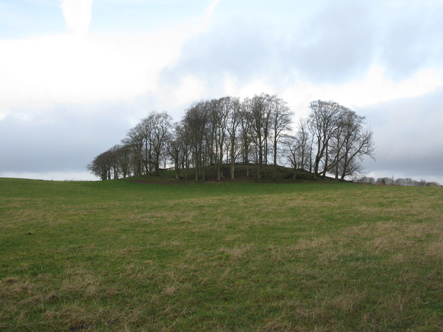
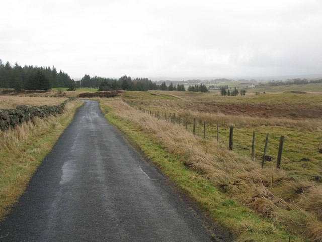
Crosslees Wood is a picturesque woodland located in the Renfrewshire region of Scotland. Covering an area of approximately 50 acres, it is a beautiful and diverse forest that attracts nature enthusiasts and hikers alike.

The wood boasts a range of tree species, including oak, birch, and beech, creating a rich and varied ecosystem. The dense canopy provides ample shade during the summer months, allowing for a cool and tranquil atmosphere. The forest floor is covered in a carpet of lush green moss and ferns, adding to the enchanting ambiance.

Numerous walking trails wind their way through the wood, allowing visitors to explore and discover its hidden gems. These paths are well-maintained, making it accessible for people of all ages and abilities. Along the way, one can encounter various wildlife species, such as deer, squirrels, and a variety of bird species, making it a haven for nature lovers.

Crosslees Wood is also home to a small stream that meanders through the forest, providing a calming soundtrack to the surrounding tranquility. This stream is an important water source for the local flora and fauna, further enhancing the biodiversity of the area.

The wood is open to the public year-round and is a popular destination for outdoor activities such as walking, picnicking, and photography. It offers a peaceful retreat from the hustle and bustle of everyday life, allowing visitors to reconnect with nature and enjoy the serenity of the woodland environment.

If you have any feedback on the listing, please let us know in the comments section below.

Crosslees Wood Images

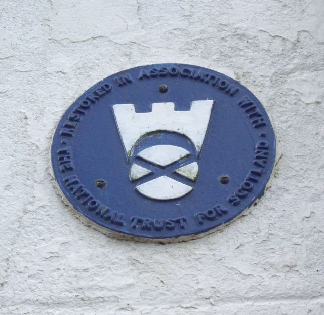
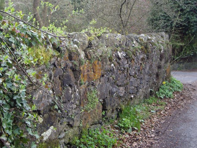
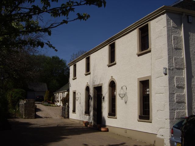
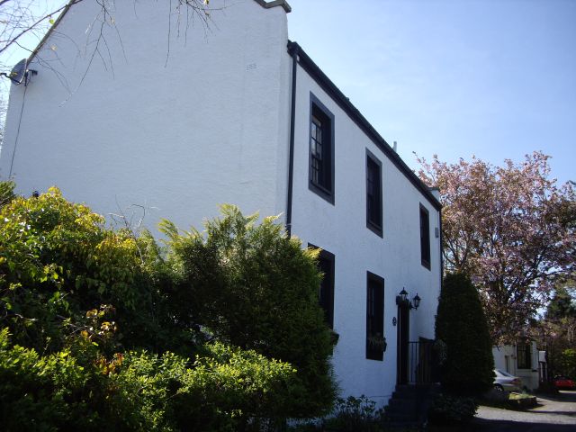
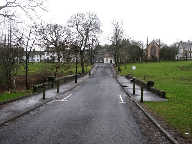
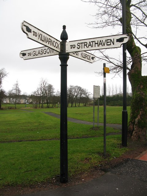
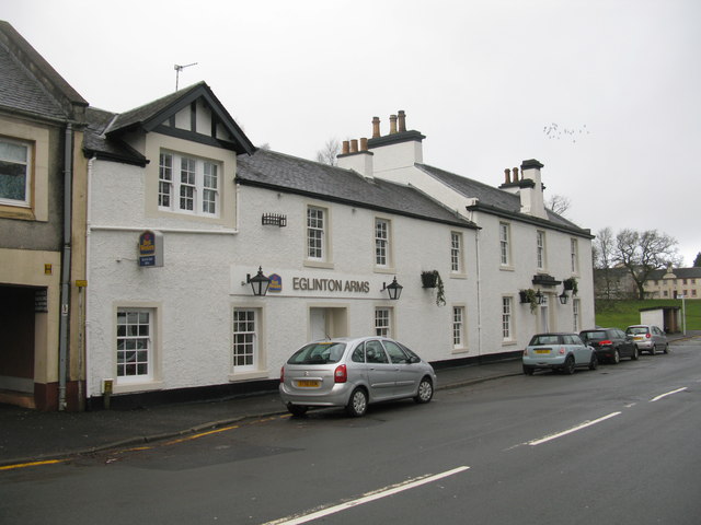
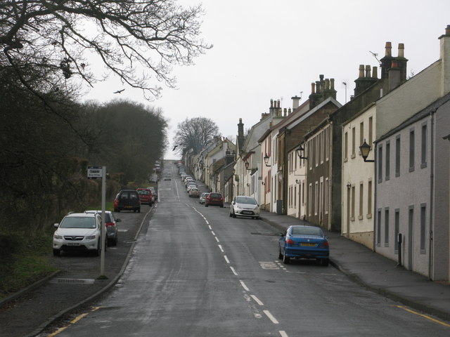
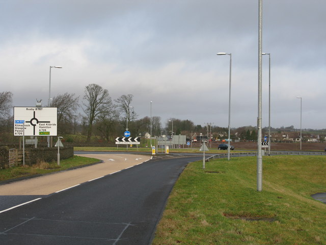
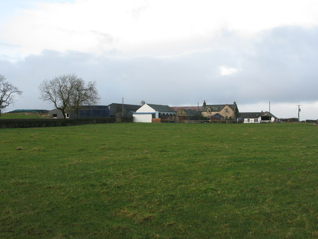
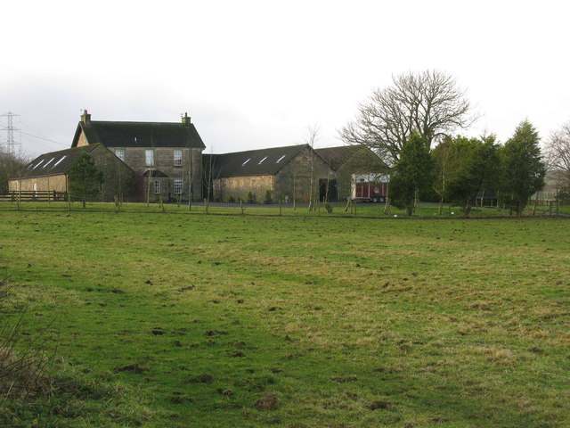
Images are sourced within 2km of 55.747175/-4.2941245 or Grid Reference NS5652. Thanks to Geograph Open Source API. All images are credited.

National Trust for Scotland small houses restoration plaque A cottage <a title="https://www.geograph.org.uk/photo/1871213" href="https://www.geograph.org.uk/photo/1871213">Link</a> in Polnoon Street was one of the first houses to be restored in Eaglesham.  A plaque indicates that this single-storey cottage was restored in association with the National Trust for Scotland.
National Trust for Scotland small houses restoration plaque
A cottage Link in Polnoon Street was one of the first houses to be restored in Eaglesham. A plaque indicates that this single-storey cottage was restored in association with the National Trust for Scotland.
Eaglesham Old Mill The first or Old Mill in Eaglesham was established in 1791 at Townhead.  Part of the mill wall survives in the garden of Picketlaw House.
Eaglesham Old Mill
The first or Old Mill in Eaglesham was established in 1791 at Townhead. Part of the mill wall survives in the garden of Picketlaw House.
Coo Lane Coo Lane once led to the pastures behind Polnoon Street. The building in the foreground was once a United Presbyterian Church before the congregation moved to a new building in Montgomery Street. Click on these links to discover about the churches and Covenanters <a title="https://www.geograph.org.uk/photo/1424798" href="https://www.geograph.org.uk/photo/1424798">Link</a> <a title="https://www.geograph.org.uk/photo/1897780" href="https://www.geograph.org.uk/photo/1897780">Link</a> <a title="https://www.geograph.org.uk/photo/1432415" href="https://www.geograph.org.uk/photo/1432415">Link</a> <a title="https://www.geograph.org.uk/photo/2385555" href="https://www.geograph.org.uk/photo/2385555">Link</a> .
Coo Lane
Coo Lane once led to the pastures behind Polnoon Street. The building in the foreground was once a United Presbyterian Church before the congregation moved to a new building in Montgomery Street. Click on these links to discover about the churches and Covenanters Link Link Link Link .
Glendinning Place The Secession Church broke away from the established church in 1733 and established a church of the Burgher Faction, the Cameronian Church in Glendinning Place. Sometime after the church closed, the meeting house became the Old Concert Hall for a time before being converted to a private residence. Click on these links to discover about the churches and Covenanters <a title="https://www.geograph.org.uk/photo/1424798" href="https://www.geograph.org.uk/photo/1424798">Link</a> <a title="https://www.geograph.org.uk/photo/1897780" href="https://www.geograph.org.uk/photo/1897780">Link</a> <a title="https://www.geograph.org.uk/photo/1432415" href="https://www.geograph.org.uk/photo/1432415">Link</a> .
Glendinning Place
The Secession Church broke away from the established church in 1733 and established a church of the Burgher Faction, the Cameronian Church in Glendinning Place. Sometime after the church closed, the meeting house became the Old Concert Hall for a time before being converted to a private residence. Click on these links to discover about the churches and Covenanters Link Link Link .
Montgomerie Armorial Arms Panel The Montgomerie armorial arms panel from Polnoon Castle <a title="https://www.geograph.org.uk/photo/1480519" href="https://www.geograph.org.uk/photo/1480519">Link</a> can be seen above the doorway of the former Cross Keys Inn <a title="https://www.geograph.org.uk/photo/1875376" href="https://www.geograph.org.uk/photo/1875376">Link</a> tacked in 1773. The panel was originally been set in a recess above the entrance to Polnoon Castle commemorates Sir John de Montgomerie's marriage to Elizabeth, daughter and heiress of Sir Hugh Eglinton of that Ilk, one of the two Justicaries of Scotland in 1361. Sir John de Montgomerie quartered with his own, the Eglinton arms which were "three gules, three rings or gemmed azure".
Montgomerie Armorial Arms Panel
The Montgomerie armorial arms panel from Polnoon Castle Link can be seen above the doorway of the former Cross Keys Inn Link tacked in 1773. The panel was originally been set in a recess above the entrance to Polnoon Castle commemorates Sir John de Montgomerie's marriage to Elizabeth, daughter and heiress of Sir Hugh Eglinton of that Ilk, one of the two Justicaries of Scotland in 1361. Sir John de Montgomerie quartered with his own, the Eglinton arms which were "three gules, three rings or gemmed azure".
Eaglesham, The Common View across the elongated triangular village green towards the parish church.
<span class="nowrap"><a title="http://en.wikipedia.org/wiki/Eaglesham" rel="nofollow ugc noopener" href="http://en.wikipedia.org/wiki/Eaglesham">Link</a><img style="margin-left:2px;" alt="External link" title="External link - shift click to open in new window" src="https://s1.geograph.org.uk/img/external.png" width="10" height="10"/></span>
Eaglesham, The Common
View across the elongated triangular village green towards the parish church. LinkExternal link
Eaglesham, Montgomery Street Main street, named after the Earls of Eglinton, in the planned village of Eaglesham.
Eaglesham, Montgomery Street
Main street, named after the Earls of Eglinton, in the planned village of Eaglesham.
Masonic Lodge, Eaglesham, Scotland. Lodge Eaglesham No.1265, Eaglesham, Scotland.
Masonic Lodge, Eaglesham, Scotland.
Lodge Eaglesham No.1265, Eaglesham, Scotland.
Mid Road, Eaglesham Looking across a bridge over Eaglesham Burn towards Montgomery Street.
Mid Road, Eaglesham
Looking across a bridge over Eaglesham Burn towards Montgomery Street.
Old Signpost in Eaglesham At the main crossroads in Eaglesham.
Old Signpost in Eaglesham
At the main crossroads in Eaglesham.
Eglinton Arms, Eaglesham Hotel on Gilmour Street in Eaglesham.
Eglinton Arms, Eaglesham
Hotel on Gilmour Street in Eaglesham.
Polnoon Street, Eaglesham Looking up Polnoon Street from Gilmour Street.
Polnoon Street, Eaglesham
Looking up Polnoon Street from Gilmour Street.
Belle Craig Roundabout The intersection of the A726, East Kilbride to Kimarnock road, and the B767, Eaglesham to Busby road, from which the photograph is taken.
Belle Craig Roundabout
The intersection of the A726, East Kilbride to Kimarnock road, and the B767, Eaglesham to Busby road, from which the photograph is taken.
Small copse of trees at Waterfoot At the corner of Glasgow Road (B767) and Floors Road (a minor road).
Small copse of trees at Waterfoot
At the corner of Glasgow Road (B767) and Floors Road (a minor road).
Floors Farm South of Newton Mearns and just north of the minor road Floors Road.
Floors Farm
South of Newton Mearns and just north of the minor road Floors Road.
Bonnyton Farm On Bonnyton Moor Road just south of the A726.
Bonnyton Farm
On Bonnyton Moor Road just south of the A726.
Kirkton Moor Road Heading towards Bonnyton Golf Course with the mist beginning to settle in on the Eaglesham Moors.
Kirkton Moor Road
Heading towards Bonnyton Golf Course with the mist beginning to settle in on the Eaglesham Moors.
Burn on Bonnyton Golf Course Also 4 bridges across the burn.
Burn on Bonnyton Golf Course
Also 4 bridges across the burn.
Show me another place!

Crosslees Wood is located at Grid Ref: NS5652 (Lat: 55.747175, Lng: -4.2941245)

Unitary Authority: East Renfrewshire

Police Authority: Greater Glasgow

What 3 Words

///formal.dates.enjoyable. Near Eaglesham, East Renfrewshire

Nearby Locations

Crosslees Wood

Related Wikis

A726 road

The A726 road in Scotland is a major route with several distinct sections with different characteristics and names; owing to its stages of construction...

Eaglesham

Eaglesham ( EE-gəl-səm) is a village in East Renfrewshire, Scotland, situated about 10 miles (16 km) south of Glasgow, 3 miles (5 km) southeast of Newton...

Waterfoot, East Renfrewshire

Waterfoot (Scots: Watterfit) is a village in East Renfrewshire, Scotland. It is on the B767 road between Clarkston and Eaglesham, which are 1 mile (1.6...
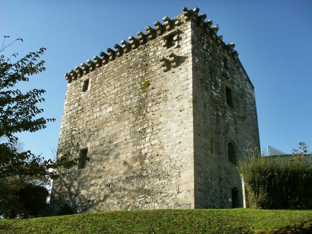
Mearns Castle

Mearns Castle is a 15th-century tower house in Newton Mearns, East Renfrewshire, south of Glasgow, Scotland. It is a Category A listed building. The castle...

Have you been to Crosslees Wood?

Leave your review of Crosslees Wood below (or comments, questions and feedback).