Blood Moss

Wood, Forest in Ayrshire

Scotland

Blood Moss

Whitelee wind farm from the air Tod Knowes is near the centre. Lochgoin Reservoir is in the distance.
Whitelee wind farm from the air Credit: Thomas Nugent

Blood Moss is a small woodland area located in the county of Ayrshire, Scotland. Situated on the western coast of the country, this forest is known for its unique and captivating features. Covering an area of approximately 20 acres, Blood Moss is a mix of deciduous and coniferous trees, creating a diverse and rich ecosystem.

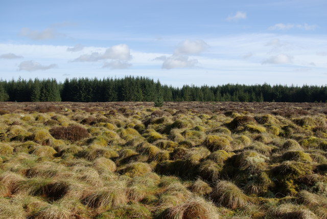
The name "Blood Moss" is derived from the crimson-colored moss that covers the forest floor, giving it a striking appearance. This moss is a result of a combination of factors, including the damp climate and the presence of iron-rich soil in the area. The vibrant red hue of the moss adds an enchanting and almost eerie ambiance to the woodland.

The forest is home to a variety of wildlife, including numerous bird species such as woodpeckers and owls. It is also a habitat for small mammals like squirrels, foxes, and badgers. The dense vegetation and tall trees provide ample hiding places for these creatures, making Blood Moss an important sanctuary for local wildlife.

Blood Moss is a popular destination for nature enthusiasts and hikers due to its tranquil and picturesque surroundings. The forest offers several walking trails that wind through the trees, allowing visitors to fully immerse themselves in the natural beauty of the area. The vibrant colors of the moss, combined with the fresh scent of pine and the gentle rustling of leaves, create a serene and soothing atmosphere.

Overall, Blood Moss is a captivating woodland area that offers a unique and memorable experience for those who visit. With its distinctive crimson moss, diverse wildlife, and peaceful ambiance, this forest in Ayrshire is undoubtedly a hidden gem in Scotland's natural landscape.

If you have any feedback on the listing, please let us know in the comments section below.
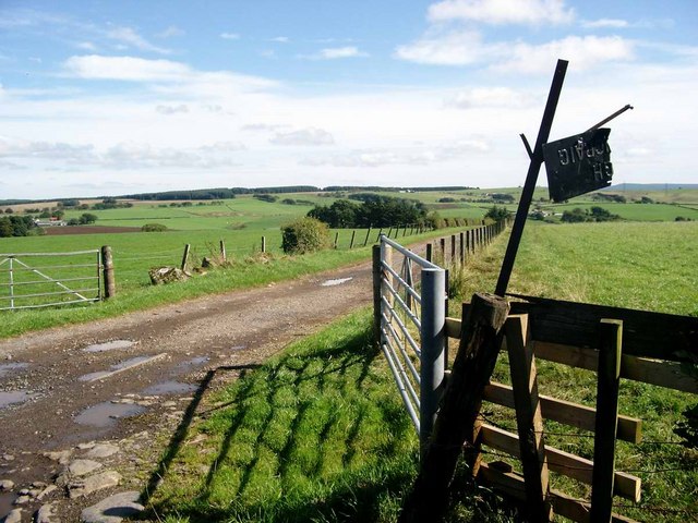
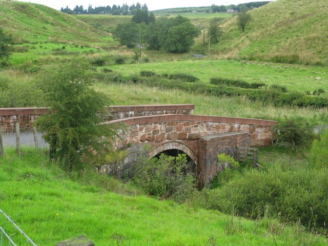
Blood Moss Images

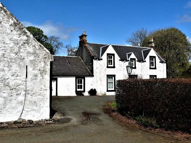
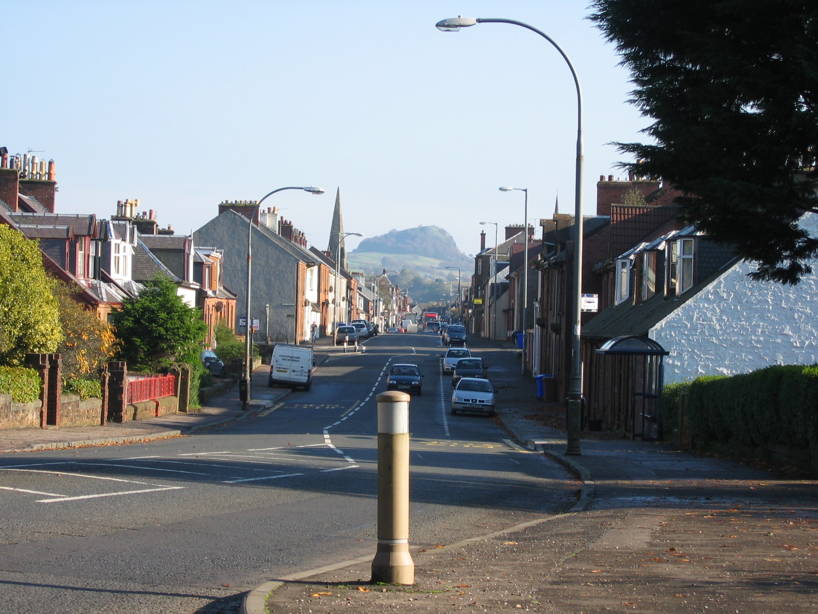
Images are sourced within 2km of 55.639581/-4.3018443 or Grid Reference NS5540. Thanks to Geograph Open Source API. All images are credited.

Whitelee wind farm from the air Tod Knowes is near the centre. Lochgoin Reservoir is in the distance.
Whitelee wind farm from the air
Tod Knowes is near the centre. Lochgoin Reservoir is in the distance.
Whitelee wind farm from the air Whitelee Windfarm is the UK's largest onshore windfarm. It is located on Eaglesham Moor just 20 minutes south of central Glasgow. The windfarm has 215 turbines which can generate 539MW of electricity, enough to power over 300,000 homes.

You can access the windfarm for free and experience the wind turbines up close with over 130kms of trails to explore.  The Visitor Centre <span class="nowrap"><a title="https://www.scottishpower.co.uk/whitelee/visitor-centre" rel="nofollow ugc noopener" href="https://www.scottishpower.co.uk/whitelee/visitor-centre">Link</a><img style="margin-left:2px;" alt="External link" title="External link - shift click to open in new window" src="https://s1.geograph.org.uk/img/external.png" width="10" height="10"/></span> is also free and has an interactive exhibition and a Cafe to relax after the long walk on the windfarm.
Whitelee wind farm from the air
Whitelee Windfarm is the UK's largest onshore windfarm. It is located on Eaglesham Moor just 20 minutes south of central Glasgow. The windfarm has 215 turbines which can generate 539MW of electricity, enough to power over 300,000 homes. You can access the windfarm for free and experience the wind turbines up close with over 130kms of trails to explore. The Visitor Centre LinkExternal link is also free and has an interactive exhibition and a Cafe to relax after the long walk on the windfarm.
Whitelee wind farm from the air Whiteleehill Cottage <a href="https://www.geograph.org.uk/photo/757179">NS5442 : Daffs at Whiteleehill</a> can be seen to the right, alongside the disused quarry <a href="https://www.geograph.org.uk/photo/757169">NS5442 : What do you find in a disused quarry?</a>.
Whitelee wind farm from the air
Whiteleehill Cottage NS5442 : Daffs at Whiteleehill can be seen to the right, alongside the disused quarry NS5442 : What do you find in a disused quarry?.
Whitelee wind farm from the air Whiteleehill Cottage <a href="https://www.geograph.org.uk/photo/757179">NS5442 : Daffs at Whiteleehill</a> can be seen to the top right, alongside the disused quarry <a href="https://www.geograph.org.uk/photo/757169">NS5442 : What do you find in a disused quarry?</a>.
Whitelee wind farm from the air
Whiteleehill Cottage NS5442 : Daffs at Whiteleehill can be seen to the top right, alongside the disused quarry NS5442 : What do you find in a disused quarry?.
Minor road east of Brownhill
Gorse hedges near Cronan farm Gorse is common in these parts, but these gorse hedges have been nicely trimmed and look great.
Gorse hedges near Cronan farm
Gorse is common in these parts, but these gorse hedges have been nicely trimmed and look great.
Small quarry near Cronan
The track to High Carlingcraig Sign could do with a touch of attention.
The track to High Carlingcraig
Sign could do with a touch of attention.
Scratchy, scratchy! Gorse and barbed wire make a painful combination.
Scratchy, scratchy!
Gorse and barbed wire make a painful combination.
Track north of Cronan
Wind pump remains & a view towards the farm of Brownhill
Firebreak north of Cronan
Wind pump remains north of Cronan
Darvel Moss
Darvel Moss
Mucks Bridge, north of Darvel Mucks Bridge carries a minor road across Mucks Water, a tributary of Glen Water which in turn is a tributary of the River Irvine.
Mucks Bridge, north of Darvel
Mucks Bridge carries a minor road across Mucks Water, a tributary of Glen Water which in turn is a tributary of the River Irvine.
Gateside Farm - Darvel
Mucks Water above Mucks Bridge
Show me another place!

Blood Moss is located at Grid Ref: NS5540 (Lat: 55.639581, Lng: -4.3018443)

Unitary Authority: East Ayrshire

Police Authority: Ayrshire

What 3 Words

///vandalism.flesh.downs. Near Darvel, East Ayrshire

Nearby Locations

Darvel Moss Blood Moss

Related Wikis

Darvel Music Festival

Darvel Music Festival is a music festival that has been held in the town of Darvel, East Ayrshire, Ayrshire, Scotland, since 2002. The Darvel Music Festival...

Darvel Town Hall

Darvel Town Hall is a municipal building in West Main Street, Darvel, East Ayrshire, Scotland. The structure, which is used as a library and a community...

Darvel

Darvel (Scots: Dairvel, Scottish Gaelic: Darbhail) is a small town in East Ayrshire, Scotland. It is at the eastern end of the Irvine Valley and is sometimes...

Darvel F.C.

Darvel Football Club are a Scottish football club based in the town of Darvel, Ayrshire. Nicknamed "The Vale" and formed in 1889, the club play at Recreation...

Nearby Amenities

Located within 500m of 55.639581,-4.3018443
The data included in this document is from www.openstreetmap.org. The data is made available under ODbL.

Have you been to Blood Moss?

Leave your review of Blood Moss below (or comments, questions and feedback).