Glen Plantation
Wood, Forest in Kirkcudbrightshire
Scotland
Glen Plantation

Glen Plantation, located in Kirkcudbrightshire, Scotland, is an enchanting woodland area known for its lush greenery and serene atmosphere. Spanning over a vast expanse, the plantation is a haven for nature lovers and those seeking tranquility.
The plantation features a diverse array of trees, including oak, birch, beech, and pine, which create a picturesque landscape that changes with the seasons. The vibrant colors of the leaves in autumn and the fresh blooms in spring make Glen Plantation a stunning sight throughout the year.
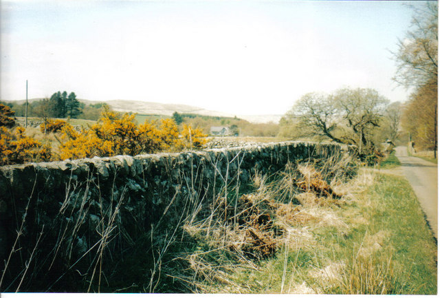
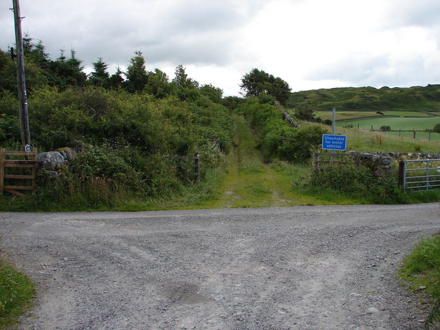
Visitors can explore the plantation's well-maintained trails that wind through the dense forest, offering glimpses of the local wildlife and stunning views of the surrounding countryside. The peaceful atmosphere is enhanced by the gentle sound of the nearby river that meanders through the plantation.
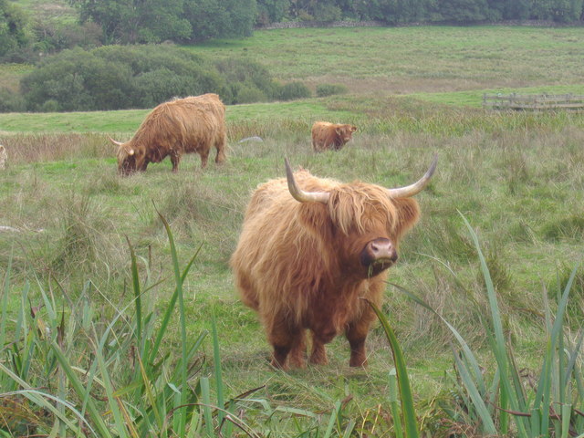
Glen Plantation is also home to a variety of bird species, making it a popular spot for birdwatching enthusiasts. The plantation provides a habitat for woodland birds such as blue tits, great tits, and chaffinches, as well as rarer species like the woodpecker and the tawny owl.
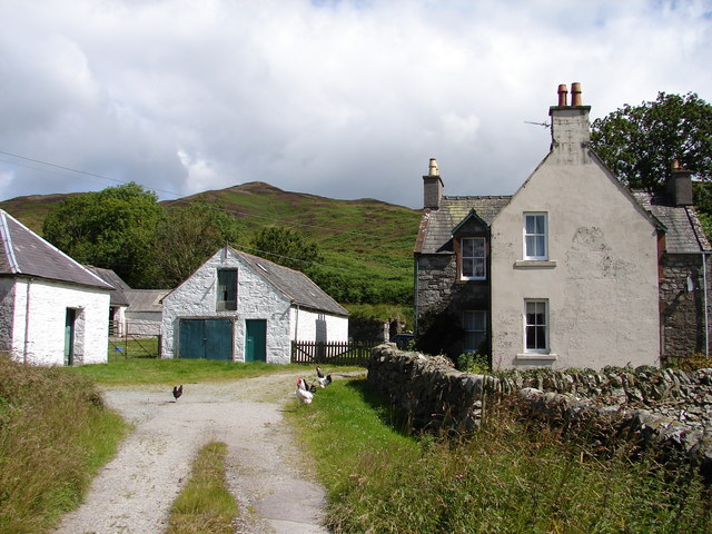
The plantation is easily accessible for visitors, with ample parking and well-marked paths. There are also picnic areas and benches scattered throughout the plantation, allowing visitors to relax and appreciate the natural beauty of their surroundings.
Overall, Glen Plantation in Kirkcudbrightshire is a haven of tranquility and natural beauty, offering visitors a chance to immerse themselves in the peacefulness of the woodland and connect with nature.
If you have any feedback on the listing, please let us know in the comments section below.
Glen Plantation Images
Images are sourced within 2km of 54.893304/-4.2653205 or Grid Reference NX5457. Thanks to Geograph Open Source API. All images are credited.


Glen Plantation is located at Grid Ref: NX5457 (Lat: 54.893304, Lng: -4.2653205)
Unitary Authority: Dumfries and Galloway
Police Authority: Dumfries and Galloway
What 3 Words
///universe.headstone.plus. Near Kirkcudbright, Dumfries & Galloway
Nearby Locations
Related Wikis
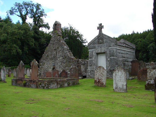
Anwoth Old Church
Anwoth Old Church is a ruined church building which was built in 1626 to serve the parish of Anwoth in Dumfries and Galloway, Scotland. It is roofless...

Anwoth
Anwoth is a settlement near the Solway Firth in the historic county of Kirkcudbrightshire, southwest Scotland, within a parish of the same name in the...

Anwoth Parish Church
Anwoth Parish Church was built in 1826 to serve the parish of Anwoth in Dumfries and Galloway, Scotland. Designed by Walter Newall, it replaced Anwoth...

Glenquicken stone circle
Glenquicken stone circle or Billy Diamond's Bridge stone circle (grid reference NX50965821) is an oval stone circle with a central pillar, two miles east...
Nearby Amenities
Located within 500m of 54.893304,-4.2653205Have you been to Glen Plantation?
Leave your review of Glen Plantation below (or comments, questions and feedback).