Tomaglass Wood
Wood, Forest in Stirlingshire
Scotland
Tomaglass Wood
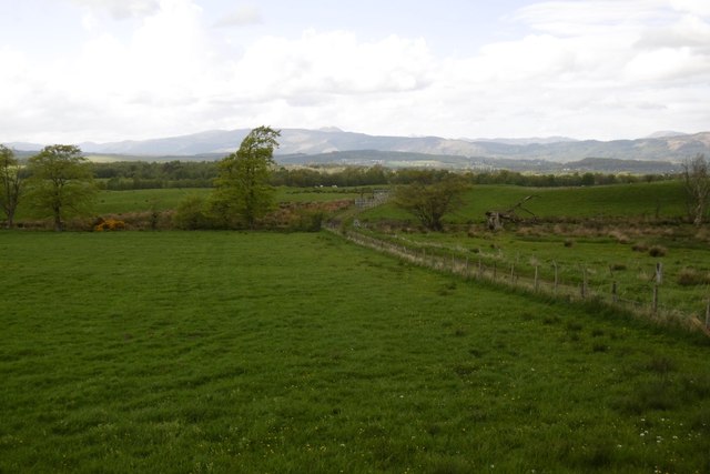
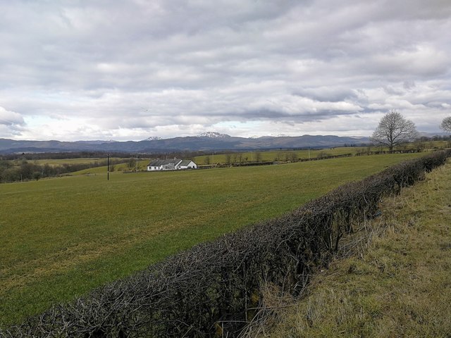
Tomaglass Wood is a picturesque forest located in Stirlingshire, Scotland. Covering an area of approximately 200 acres, this woodland is nestled in the heart of the stunning Scottish countryside. Known for its natural beauty and diverse flora and fauna, Tomaglass Wood is a popular destination for nature lovers and outdoor enthusiasts.
The forest is predominantly made up of native tree species, including oak, birch, and Scots pine. These majestic trees create a dense canopy overhead, providing shelter and habitat for a wide variety of wildlife. Visitors to the wood may catch glimpses of red squirrels, roe deer, and a myriad of bird species, making it a haven for wildlife observation and photography.
Tomaglass Wood offers a network of well-maintained trails, making it an excellent location for walking, hiking, and cycling. These trails wind through the wood, revealing breathtaking views and allowing visitors to immerse themselves in the tranquil surroundings. Additionally, the wood boasts a picnic area, providing a perfect spot for a leisurely lunch or a peaceful break.
The forest is managed by a local conservation organization, ensuring the preservation of its natural features and biodiversity. Tomaglass Wood also plays an important role in carbon sequestration and contributes to the overall health of the local ecosystem.
Overall, Tomaglass Wood is a captivating woodland that showcases the natural wonders of Stirlingshire. Its idyllic setting, diverse wildlife, and well-maintained trails make it a must-visit destination for those seeking a peaceful retreat in the midst of nature.
If you have any feedback on the listing, please let us know in the comments section below.
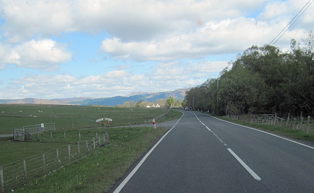
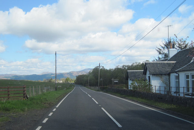
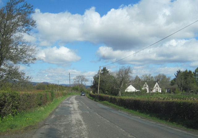
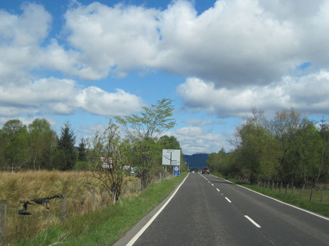
Tomaglass Wood Images
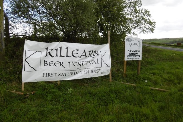
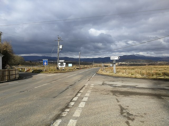
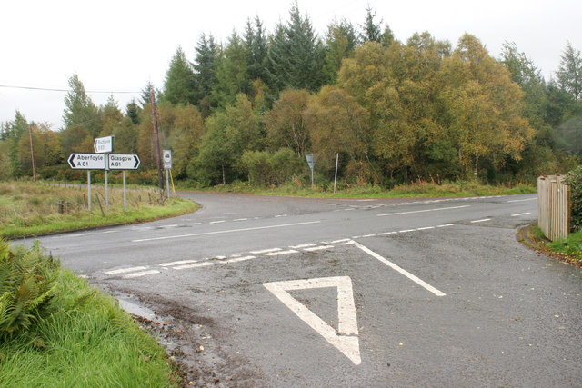
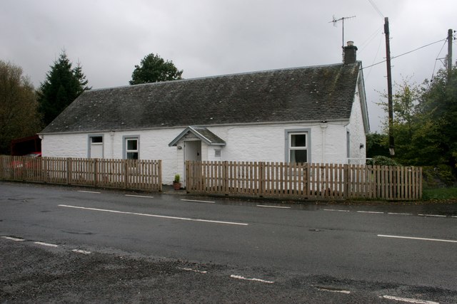
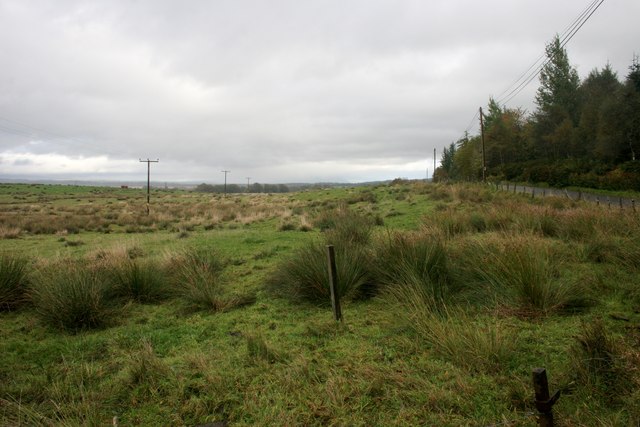
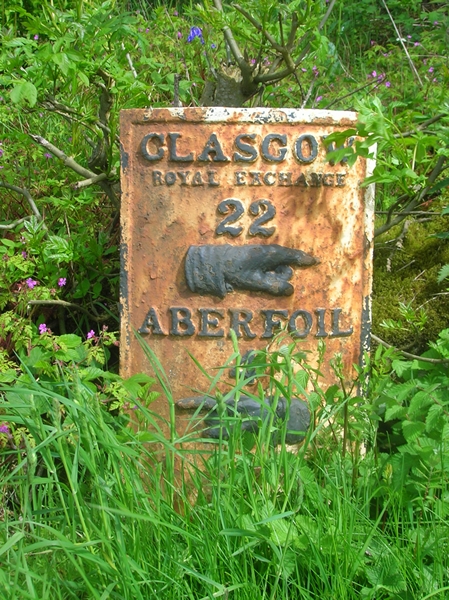
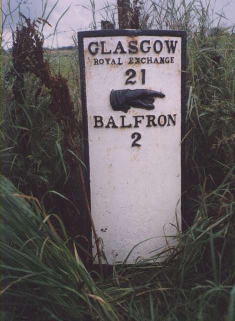
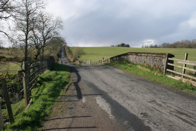
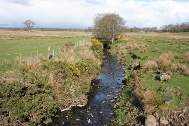
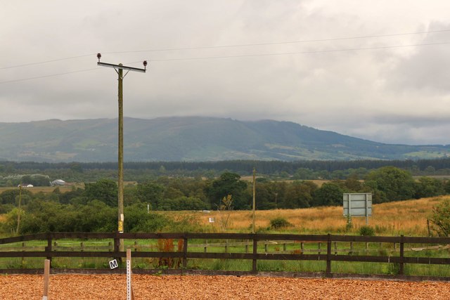
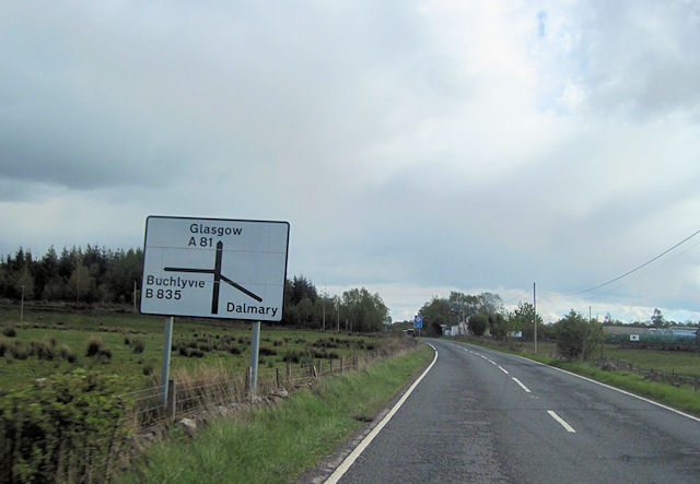
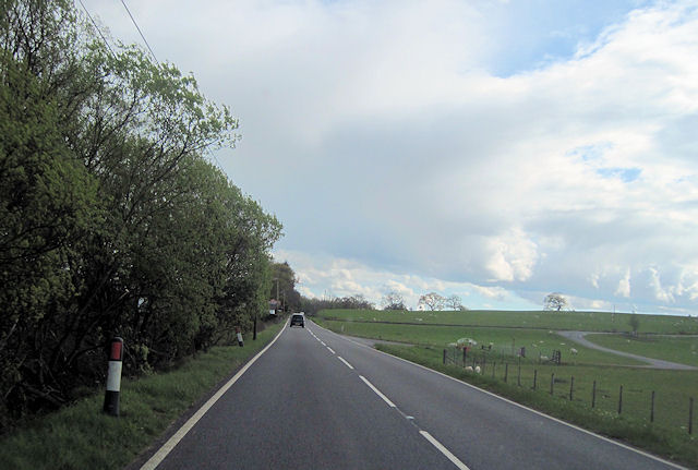
Images are sourced within 2km of 56.114093/-4.3445691 or Grid Reference NS5493. Thanks to Geograph Open Source API. All images are credited.
Tomaglass Wood is located at Grid Ref: NS5493 (Lat: 56.114093, Lng: -4.3445691)
Unitary Authority: Stirling
Police Authority: Forth Valley
What 3 Words
///parsnips.nipping.taking. Near Balfron, Stirling
Nearby Locations
Related Wikis
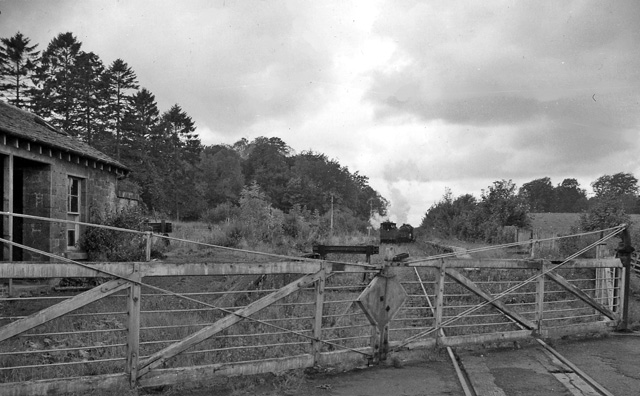
Buchlyvie railway station
Buchlyvie railway station served the village of Buchlyvie, Stirling, Scotland, from 1856 to 1959 on the Forth and Clyde Junction Railway. == History... ==
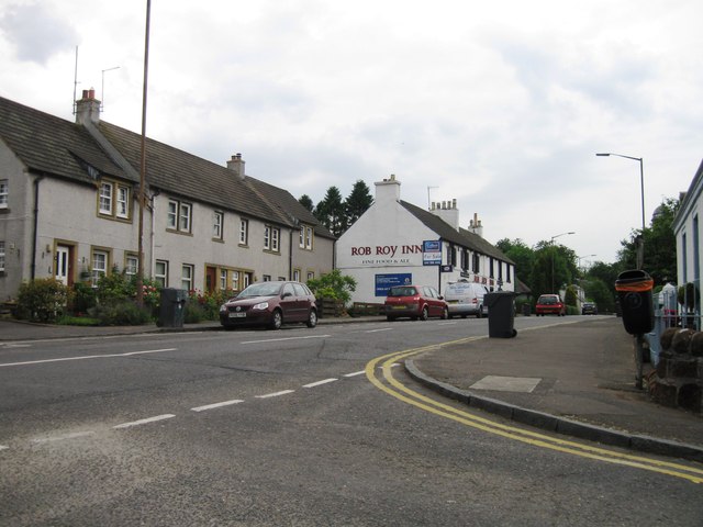
Buchlyvie
Buchlyvie is a village in the Stirling council area of Scotland. It is situated 14 miles (23 km) west of Stirling and 18 miles (29 km) north of Glasgow...

Dalmary
Dalmary is a small hamlet in Stirling, Scotland, situated in the civil parish of Drymen. Unlike other settlements in the Drymen civil parish, Dalmary has...

Gartmore
Gartmore (Scottish Gaelic An Gart Mòr) is a village in the Stirling council area, Scotland. It is a village with a view of the Wallace Monument in Stirling...
Nearby Amenities
Located within 500m of 56.114093,-4.3445691Have you been to Tomaglass Wood?
Leave your review of Tomaglass Wood below (or comments, questions and feedback).