Black Wood

Wood, Forest in Ayrshire

Scotland

Black Wood

Sorn bridge over the river Ayr
Sorn bridge over the river Ayr Credit: Gordon Brown

Black Wood is a renowned forest located in the region of Ayrshire, Scotland. Covering an area of approximately 600 hectares, it is known for its diverse range of flora and fauna, making it a significant conservation area. The forest is nestled between the towns of Ayr and Prestwick, attracting nature enthusiasts and visitors from all over.

The forest is predominantly composed of mixed woodland, with a significant presence of oak, birch, and beech trees. The dense canopy provides a perfect habitat for a variety of bird species, including woodpeckers and owls, making it a popular spot for birdwatching. Moreover, the forest is also home to small mammals such as red squirrels and badgers, adding to its biodiversity.

Black Wood offers several well-maintained walking trails, allowing visitors to explore its natural beauty. The trails vary in difficulty, catering to both casual walkers and experienced hikers. Along the paths, one can witness stunning vistas of the surrounding countryside and enjoy the peaceful ambiance of the forest.

Nature conservation is a priority in Black Wood, with careful management practices in place to preserve the forest's ecological balance. The forest is also part of a larger network of protected areas, contributing to the overall conservation efforts in the region.

For those seeking a tranquil escape from urban life, Black Wood in Ayrshire offers a serene environment, abundant wildlife, and a chance to immerse oneself in the natural beauty of Scotland's forests.

If you have any feedback on the listing, please let us know in the comments section below.
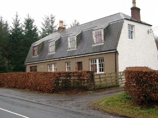
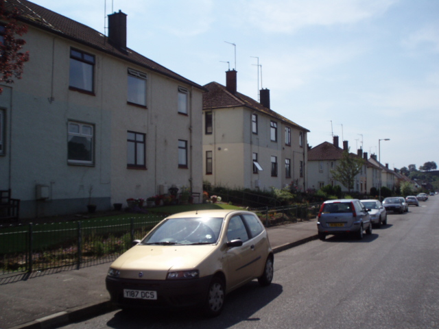
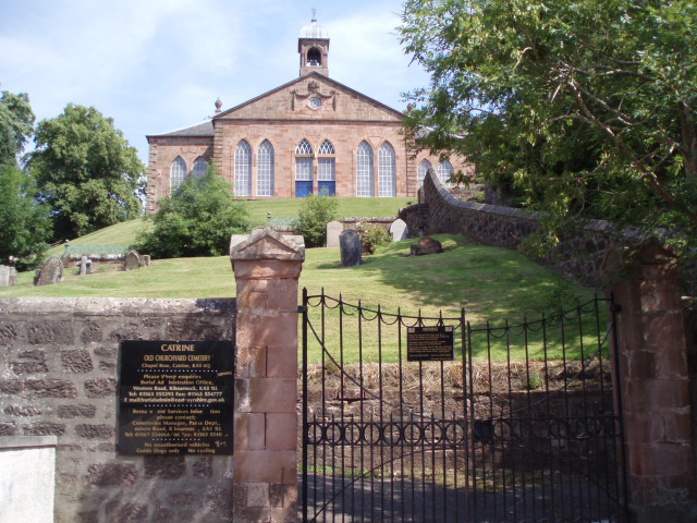
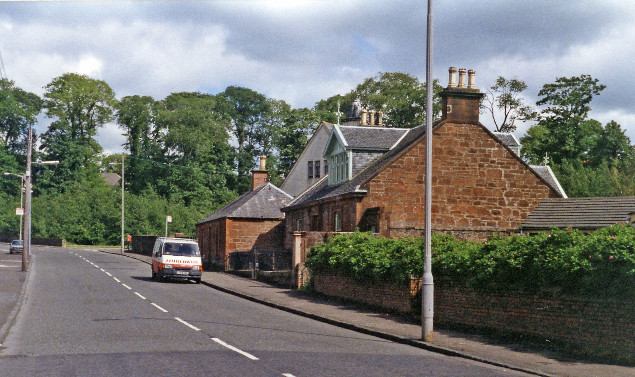
Black Wood Images

Images are sourced within 2km of 55.516545/-4.31569 or Grid Reference NS5327. Thanks to Geograph Open Source API. All images are credited.

Sorn bridge over the river Ayr
The Sorn Inn
The Sorn Inn
Old bridge over the river Ayr at Sorn
Sorn Castle
Sorn Castle
Sorn Castle gatehouse
"Wealth of Waters" Such is named this house.  Just behind is the confluence of the Burn O' Need and the Blairkibboch Burn.
"Wealth of Waters"
Such is named this house. Just behind is the confluence of the Burn O' Need and the Blairkibboch Burn.
Mauchline Road Council housing in Catrine
Mauchline Road
Council housing in Catrine
Old Church Yard Cemetery The cemetery in Catrine with Chapel Brae on the hill top
Old Church Yard Cemetery
The cemetery in Catrine with Chapel Brae on the hill top
Trees Farm fields by Logan in East Ayrshire
Trees
Farm fields by Logan in East Ayrshire
Sorn Church Church on road between village and Sorn Castle.
Sorn Church
Church on road between village and Sorn Castle.
Bridge Street A terrace of mill workers cottages dating from early 1800s. The town was developed utilising water power from the river. The cotton mill at the end of the street burnt down in the 1960s.
Bridge Street
A terrace of mill workers cottages dating from early 1800s. The town was developed utilising water power from the river. The cotton mill at the end of the street burnt down in the 1960s.
Mill Square and Bridge Street Mill workers housing from early 1800s. The photo was taken from the square which used to be occupied by the mill building. The mill burnt down in the 1960s.
Mill Square and Bridge Street
Mill workers housing from early 1800s. The photo was taken from the square which used to be occupied by the mill building. The mill burnt down in the 1960s.
Council Renovation Area In the Shawwood council housing estate some areas like this have had the post-war houses demolished and new houses built on the cleared sites.
Council Renovation Area
In the Shawwood council housing estate some areas like this have had the post-war houses demolished and new houses built on the cleared sites.
Exit on to B713 to Auchinleck Lower part of the Shawwood council housing estate. This is one of the main access roads into the scheme from the B713.
Exit on to B713 to Auchinleck
Lower part of the Shawwood council housing estate. This is one of the main access roads into the scheme from the B713.
Recreation Area Area used for football lying between the council houses in the foreground and the R. Ayr. Some flood protection needed here - shown by the red walls in the middle distance. The war memorial dominates the top of the wooded valley side.
Recreation Area
Area used for football lying between the council houses in the foreground and the R. Ayr. Some flood protection needed here - shown by the red walls in the middle distance. The war memorial dominates the top of the wooded valley side.
Bonded Warehouse New use for part of the old cotton mill in Catrine which operated until the late 1960 period. This is now a bonded warehouse for whisky.
Bonded Warehouse
New use for part of the old cotton mill in Catrine which operated until the late 1960 period. This is now a bonded warehouse for whisky.
Mill reservoir This sign marks the last of the reservoirs (voes) which were constructed to store water from the R. Ayr to power the waterwheels in the cotton mills in Catrine. There was both a waulk mill and a twist mill and a bleach works, all of which made heavy demands on water. The water to the latter mill was led along an aqueduct, over the main street in Catrine to the mill which was located in the centre of the village.
Mill reservoir
This sign marks the last of the reservoirs (voes) which were constructed to store water from the R. Ayr to power the waterwheels in the cotton mills in Catrine. There was both a waulk mill and a twist mill and a bleach works, all of which made heavy demands on water. The water to the latter mill was led along an aqueduct, over the main street in Catrine to the mill which was located in the centre of the village.
Mill Lade This man-made channel led the water from the first reservoir (voe), from which water was drawn off to power the mill wheel in the waulk mill, to the second voe which provided water for the giant water wheel in the main mill in the centre of Catrine.
Mill Lade
This man-made channel led the water from the first reservoir (voe), from which water was drawn off to power the mill wheel in the waulk mill, to the second voe which provided water for the giant water wheel in the main mill in the centre of Catrine.
Show me another place!

Black Wood is located at Grid Ref: NS5327 (Lat: 55.516545, Lng: -4.31569)

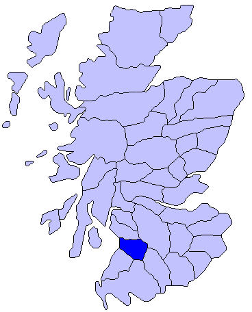
Unitary Authority: East Ayrshire

Police Authority: Ayrshire

What 3 Words

///apartment.breaches.crop. Near Catrine, East Ayrshire

Nearby Locations

Black Wood

Related Wikis

Sorn Castle

Sorn Castle is located by the River Ayr just outside the village of Sorn in East Ayrshire, Scotland. The castle comprises a medieval tower house, which...

Catrine railway station

Catrine railway station served the village of Catrine in East Ayrshire, Scotland. Open 1903–1943, except for a temporary closure, the station was the only...

Sorn, East Ayrshire

Sorn (Scottish Gaelic: Sorn, meaning a kiln) is a small village in East Ayrshire, Scotland. It is situated on the River Ayr. It has a population of roughly...
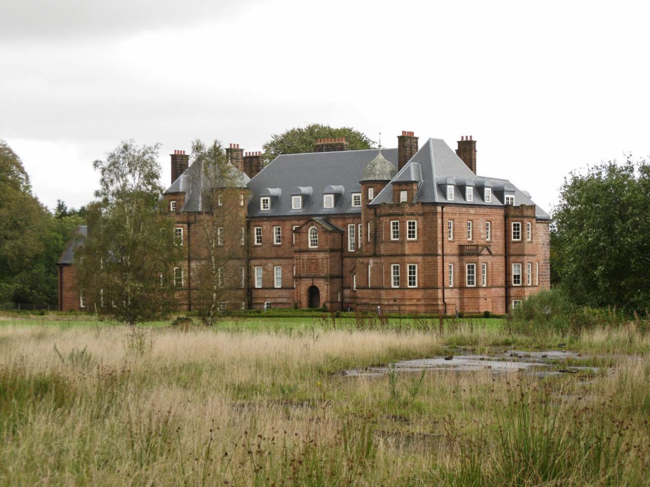
Ballochmyle House

Ballochmyle House is an 18th-century country house near Catrine in East Ayrshire, Scotland that was the seat of the Alexander of Ballochmyle family. From...

East Ayrshire

East Ayrshire (Scots: Aest Ayrshire; Scottish Gaelic: Siorrachd Àir an Ear) is one of 32 unitary council areas of Scotland. It shares borders with Dumfries...

Kyle, Ayrshire

Kyle (or Coila poetically; Scottish Gaelic: Cuil) is a former comital district of Scotland which stretched across parts of modern-day East Ayrshire and...
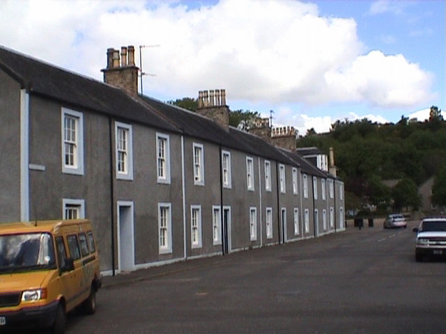
Catrine

Catrine is a village in East Ayrshire, Scotland which was formerly a centre of cotton manufacture. It has a population of around 2,020 (mid-2020 est...

Auchmillan

Auchmillan is a village in East Ayrshire, Scotland. == References ==

Nearby Amenities

Located within 500m of 55.516545,-4.31569
Power: pole
Lat/Long: 55.5126014/-4.3149191
Power: pole
Lat/Long: 55.5132264/-4.3137315
Power: pole
Lat/Long: 55.5138668/-4.3125349
Power: pole
Lat/Long: 55.5145149/-4.3112976
Generator Method: wind_turbine
Generator Source: wind
Power: generator
Lat/Long: 55.5136568/-4.3206138
The data included in this document is from www.openstreetmap.org. The data is made available under ODbL.

Have you been to Black Wood?

Leave your review of Black Wood below (or comments, questions and feedback).