Capton
Settlement in Somerset Somerset West and Taunton
England
Capton

Capton is a small village located in the county of Somerset, in the southwest of England. Situated about 6 miles southeast of the town of Taunton, Capton is nestled in a picturesque rural setting, surrounded by rolling hills and farmland. It is part of the West Somerset district.
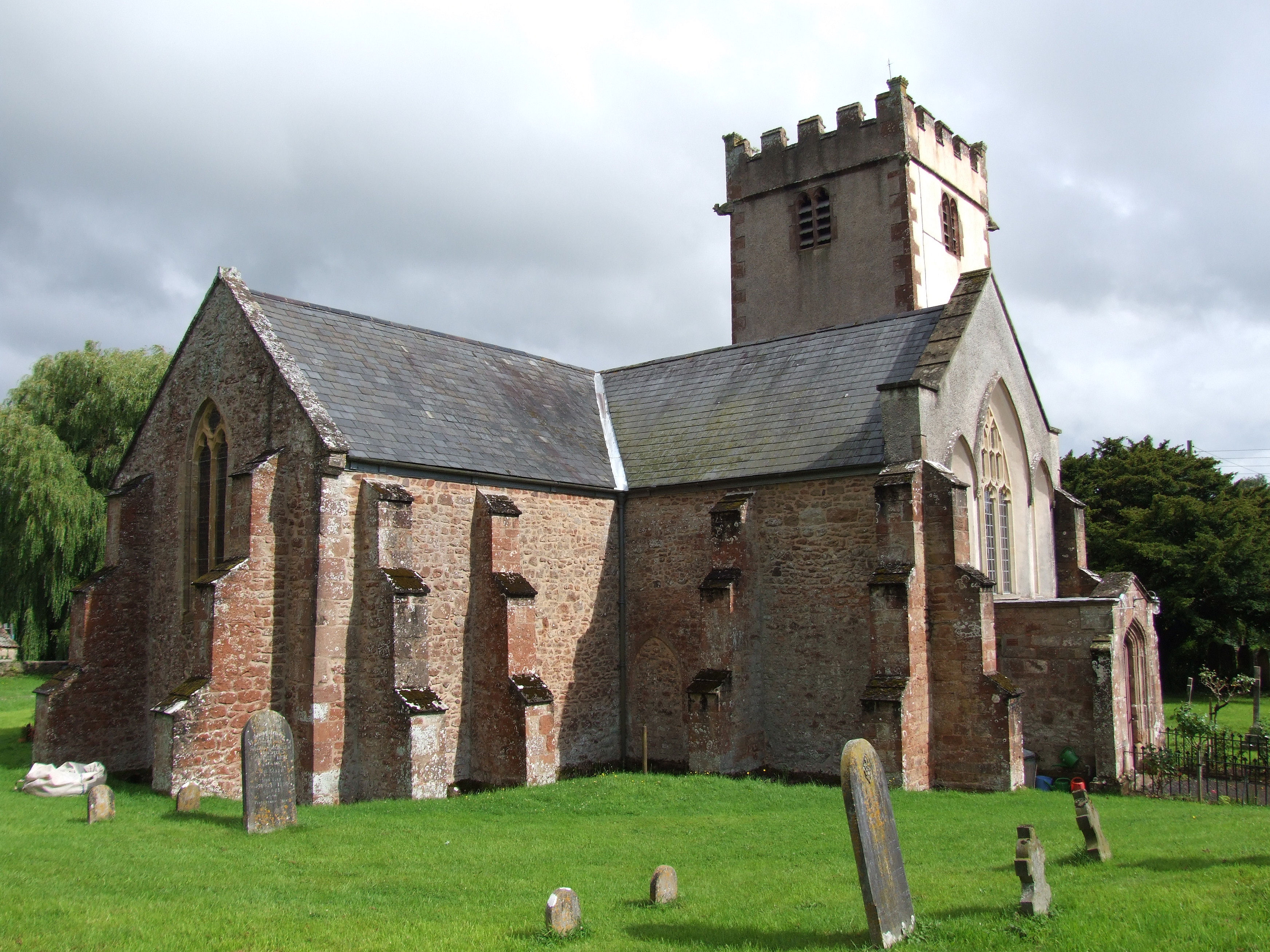
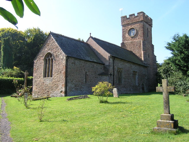
The village of Capton has a rich history dating back to medieval times, and evidence of its past can still be seen in the form of several historic buildings and landmarks. The most notable of these is the St. John the Baptist Church, a Grade II listed building that dates back to the 14th century. The church features a stunning stained glass window and exquisite architectural details that are worth a visit.
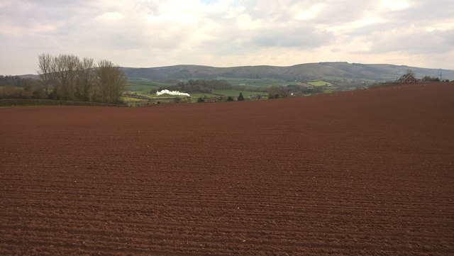
Capton's economy is primarily based on agriculture, with many residents engaged in farming and livestock raising. The village is known for its scenic countryside, which provides ample opportunities for outdoor activities like hiking, cycling, and horse riding. The surrounding area is also home to a number of nature reserves and wildlife sanctuaries, making it an ideal destination for nature enthusiasts.
Despite its small size, Capton has a close-knit community and a strong sense of community spirit. The village hosts various events and activities throughout the year, including a summer fête and a Christmas market, which bring residents together and promote a sense of togetherness.
Overall, Capton offers a tranquil and idyllic living environment, characterized by its beautiful landscapes, rich history, and friendly atmosphere. It is a perfect destination for those seeking a peaceful retreat in the heart of the Somerset countryside.
If you have any feedback on the listing, please let us know in the comments section below.
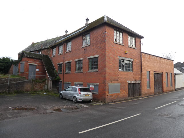
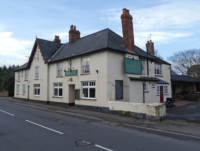
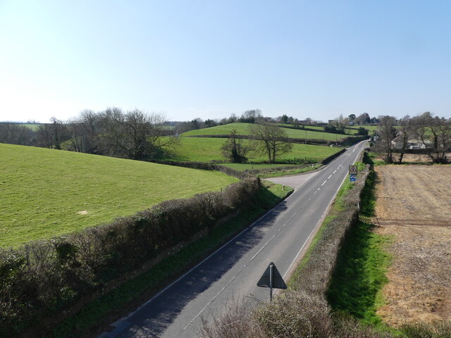
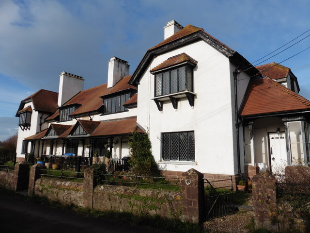
Capton Images
Images are sourced within 2km of 51.145955/-3.315222 or Grid Reference ST0839. Thanks to Geograph Open Source API. All images are credited.
![Former quarry face, Woolston See also <a href="https://www.geograph.org.uk/photo/4094973">ST0940 : The former Woolston Quarry [Bunter sandstone]</a>; as Christine remarks this appears to be sandstone, yet old maps show lime kilns nearby. An online source <span class="nowrap"><a title="https://geologistsassociation.org.uk/gashopnewlayout/ga-guide-66_the-geology-of-watchet-and-its-neighbourhood-somerset/" rel="nofollow ugc noopener" href="https://geologistsassociation.org.uk/gashopnewlayout/ga-guide-66_the-geology-of-watchet-and-its-neighbourhood-somerset/">Link</a><img style="margin-left:2px;" alt="External link" title="External link - shift click to open in new window" src="https://s1.geograph.org.uk/img/external.png" width="10" height="10"/></span> explains that red Triassic sandstone pebble beds can be seen in Woolston Quarry but carboniferous limestone is found within the same quarry.](https://s2.geograph.org.uk/geophotos/06/90/79/6907934_db0d7438.jpg)


Capton is located at Grid Ref: ST0839 (Lat: 51.145955, Lng: -3.315222)
Administrative County: Somerset
District: Somerset West and Taunton
Police Authority: Avon and Somerset
What 3 Words
///unheated.whistle.void. Near Williton, Somerset
Nearby Locations
Related Wikis
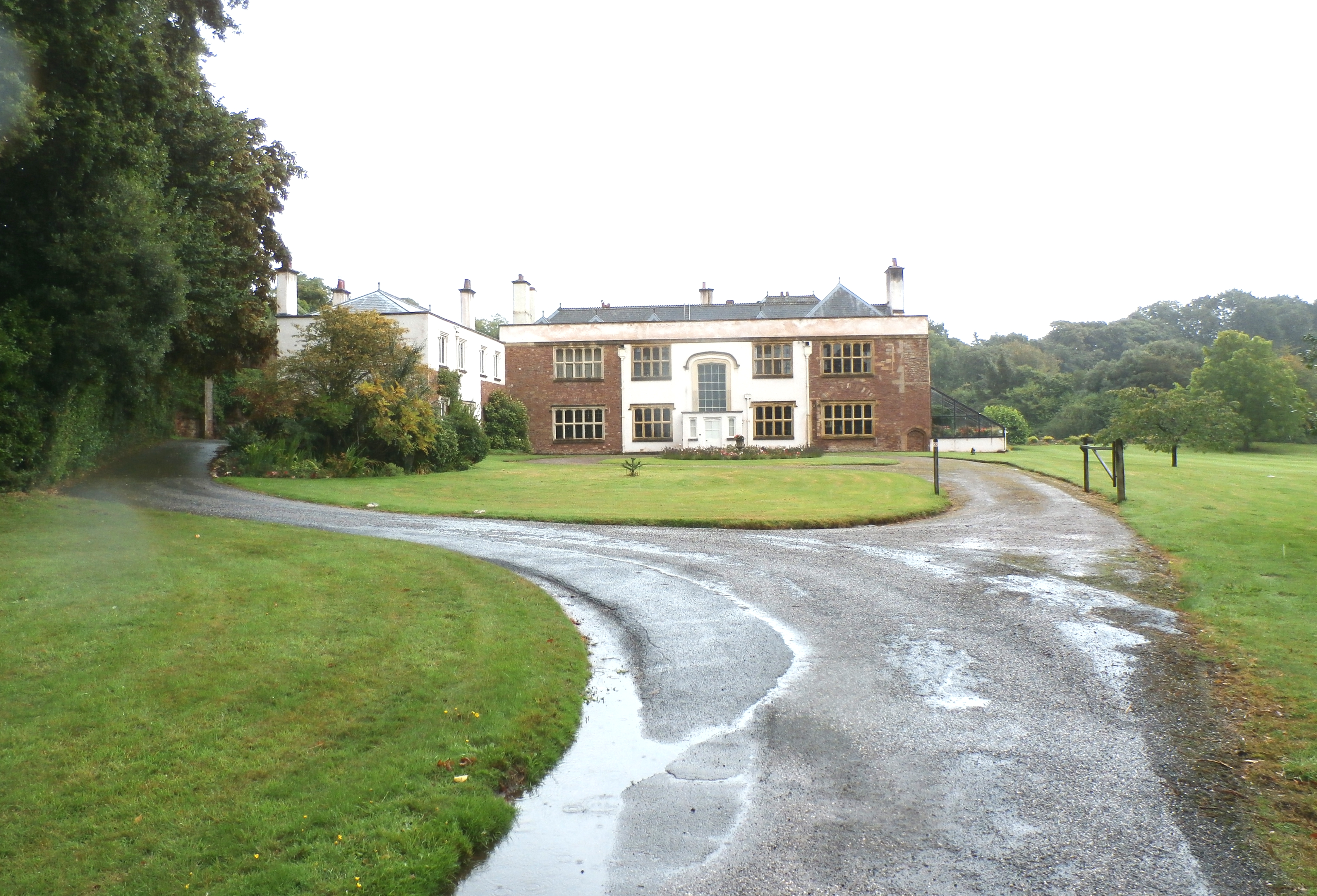
Orchard Wyndham
Orchard Wyndham is a historic manor near Williton in Somerset, centred on the synonymous grade I listed manor house of Orchard Wyndham that was situated...
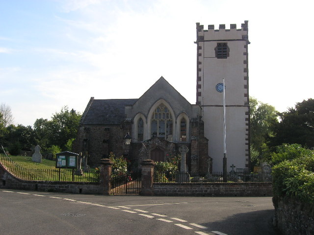
Church of St George, Sampford Brett
The Anglican Church of St George in Sampford Brett, Somerset, England was built around 1300. It is a Grade II* listed building. == History == The parish...
Sampford Brett
Sampford Brett is a village and civil parish situated at the south-western edge of the Quantock Hills, Somerset, England, less than 1 mile (1.6 km) south...
Monksilver
Monksilver is a village 3 miles (5 km) west of the town of Williton in Somerset, England, on the eastern flank of the Brendon Hills and the border of the...

Bridgwater and West Somerset (UK Parliament constituency)
Bridgwater and West Somerset is a constituency represented in the House of Commons of the UK Parliament since 2010 by Ian Liddell-Grainger, a Conservative...

Curdon Camp
Curdon Camp is a univallate Iron Age hill fort in the West Somerset district of Somerset, England. It is a Scheduled Ancient Monument.The hill fort is...
Williton
Williton is a large village and civil parish in Somerset, England, at the junction of the A39, A358 and B3191 roads, on the coast 2 miles (3.2 km) south...
Williton Rural District
Williton was a rural district in Somerset, England, from 1894 to 1974. It was created in 1894 under the Local Government Act 1894. In 1974 it was abolished...
Nearby Amenities
Located within 500m of 51.145955,-3.315222Have you been to Capton?
Leave your review of Capton below (or comments, questions and feedback).